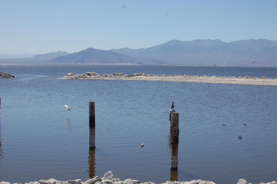
Southern California’s Salton Sea—approximately 232 feet (70 m)
below sea level— is one of the world’s largest inland seas. It
has 130 miles of shoreline and is larger than Lake Tahoe.
The sea was created in 1905 when the Colorado River broke through
a series of dikes, flooding a salty basin known as the Salton
Sink in the Imperial Valley. The sea is an important stopping
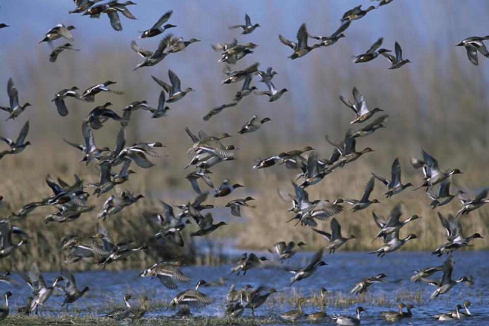
point for 1 million migratory waterfowl, and serves as critical
habitat for birds moving south to Mexico and Central America.
Overall, the Salton Sea harbors more than 270 species of birds
including ducks, geese, cormorants and pelicans.
On Jan. 26, there was an opening ceremony at the Salton Sea for
the construction of a big new plant to produce lithium.
Presiding at the ceremony was John Podesta, who is the senior
adviser to President Biden in implementing the $375 billion
Clean Energy and climate change bill that was part of the
Inflation Reduction Act passed in August 2022. It was Podesta
who worked with the U.S. Army Corps of Engineers to speed up
the environmental review for the lithium plant. But at the same
time, the Army Corps has recently announced that it is
postponing a restoration plan for the Salton Sea until 2030 or
2032. Many are saying that the method of extracting lithium at
the Salton Sea is less damaging to the environment than
traditional open pit mining and evaporation ponds. -Written by Chuck Parker, a Coachella Valley
resident who has been active in the Salton Sea Coalition
since 2018.
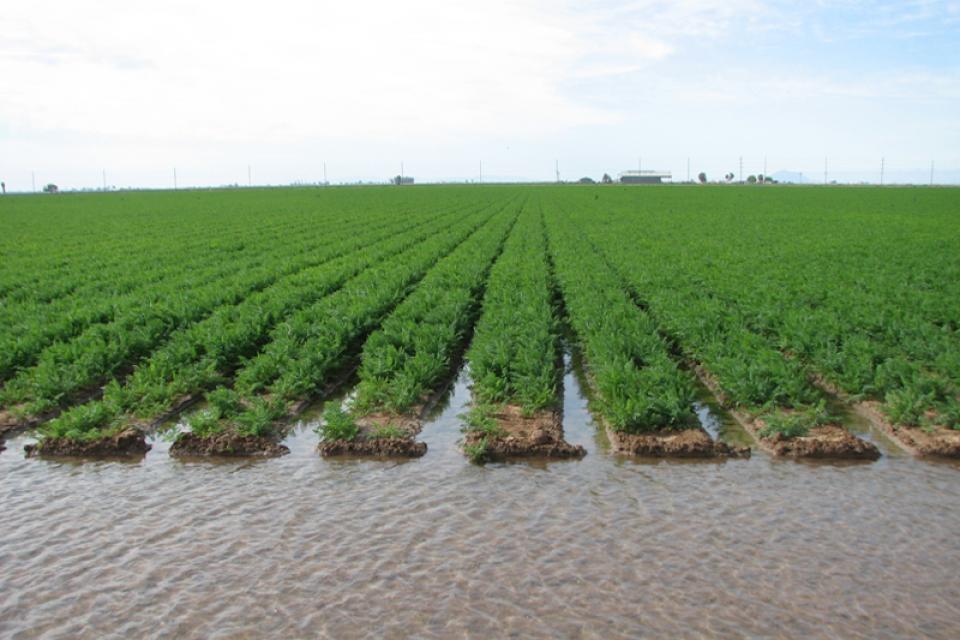
For a place where nature didn’t intend lettuce to grow, the
southwest corner of Arizona has built a spectacular record as
“America’s salad bowl.” Thanks to copious irrigation and
decades of public investment, Yuma and the bordering Imperial
Valley of California supply as much as 90 percent of the
nation’s salad greens during the winter, making the area
pivotal to the debate over the future of American agriculture
in an era of oppressive weather made worse by the changing
climate.
The Imperial Irrigation District announced in a recent press
report that it has been awarded $7 million in grant funds from
the Department of the Interior in support of the district’s
proposed Upstream Operational Reservoir Project, which would be
the largest reservoir ever constructed in the Imperial Valley
during IID’s 113-year history as an irrigation district. The
announcement was recently made by the Interior Department, with
funds coming from the Bipartisan Infrastructure Law to increase
water supply reliability. This latest grant award to IID is in
addition to a $9.5 million grant previously awarded to the
district for a total of $16.5 million in federal funding for
the Upstream Operational Reservoir Project.
With chronic water shortages afflicting the Colorado River,
discussions about how to cut usage have increasingly focused on
a thirsty crop that consumes an especially large share of the
river’s water: hay that is grown to feed cattle and produce
beef and dairy products. In a new study, researchers found that
alfalfa and other cattle-feed crops consume 46% of the water
that is diverted from the river, accounting for nearly
two-thirds of agricultural water use. The research also shows
that agriculture is the dominant user of Colorado River water,
accounting for 74% of the water that is diverted — about three
times the combined usage of all the cities that depend on the
river. The study presents the most detailed analysis of its
kind to date, including extensive data on where the river’s
water goes across seven Western states and northern Mexico.
The California Natural Resources Agency has submitted its 2024
Annual Report on the Salton Sea Management Program (SSMP) to
the State Water Resources Control Board, prepared in compliance
with Order WR 2017-0134. The report provides specific updates
on the SSMP’s activities in 2023 and planning for future
projects, ongoing partnerships to help the SSMP meet its goals,
community engagement, and next steps. English and
Spanish versions of the report can be found at
www.saltonsea.ca.gov under the Featured Documents heading.
Southern California’s Imperial Irrigation District, which
supplies water to farmers who grow most of the nation’s winter
vegetables, planned to start a conservation program in April to
scale back what it draws from the critical Colorado River. But
a tiny, tough fish got in the way. Now, those plans won’t start
until at least June so water and wildlife officials can devise
a way to ensure the endangered desert pupfish and other species
are protected, said Jamie Asbury, the irrigation district’s
general manager.
This half-hour special dives into the troubles and triumphs at
the Salton Sea. The sea is the largest body of water in
California. It formed after a levee at the Colorado River burst
in the early 1900s, and after the levee was fixed, it cut off
the flow of fresh water. Since then, the sea has become
polluted with chemical runoff from nearby farms. It’s also
slowly evaporating. The chemical-filled water releases gases
that trigger asthma in nearby communities, and toxic dust from
around the shoreline acts as an irritant as well. Despite
all of the negatives, there are a few positives. New wetlands
are forming as the sea slowly pulls away from the shoreline,
playing host to thousands of migrating birds. Developing
wetlands make the sea an important stop along the Pacific
Flyway.
Environmental groups on Thursday sued officials who signed off
on a lithium project in the Salton Sea that a top Biden
official has helped advance. Comité Civico del Valle and
Earthworks filed the legal complaint in Imperial County
Superior Court against county officials who approved
conditional permits for Controlled Thermal Resources’ Hell’s
Kitchen lithium and geothermal project. The groups argue that
the country’s approval of the direct lithium extraction and
geothermal brine project near the southeastern shore of the
Salton Sea violates county and state laws, such as the
California Environmental Quality Act.
Learn the history and challenges facing the West’s most dramatic
and developed river.
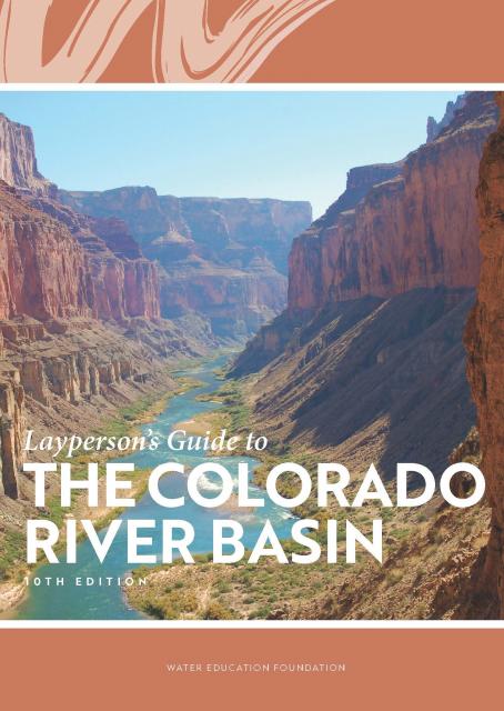
The Layperson’s Guide to the Colorado River Basin introduces the
1,450-mile river that sustains 40 million people and millions of
acres of farmland spanning seven states and parts of northern
Mexico.
The 28-page primer explains how the river’s water is shared and
managed as the Southwest transitions to a hotter and drier
climate.
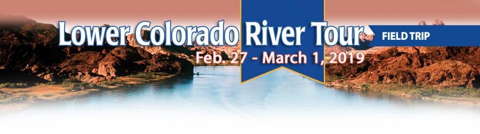
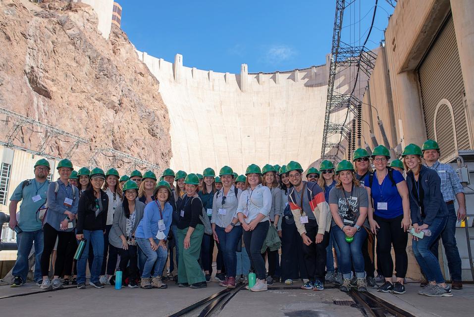
This tour explored the lower Colorado River firsthand where virtually every drop of the river is allocated, yet demand is growing from myriad sources — increasing population, declining habitat, drought and climate change.
The 1,450-mile river is a lifeline to some 40 million people in the Southwest across seven states, 30 tribal nations and Mexico. How the Lower Basin states – Arizona, California and Nevada – use and manage this water to meet agricultural, urban, environmental and industrial needs was the focus of this tour.
Hilton Garden Inn Las Vegas Strip South
7830 S Las Vegas Blvd
Las Vegas, NV 89123
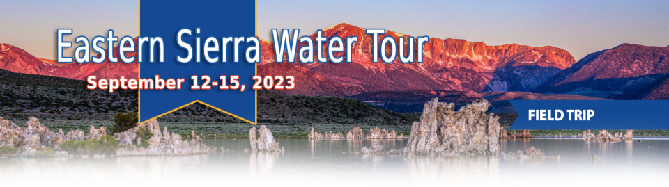
This special Foundation water tour journeyed along the Eastern Sierra from the Truckee River to Mono Lake, through the Owens Valley and into the Mojave Desert to explore a major source of water for Southern California, this year’s snowpack and challenges for towns, farms and the environment.
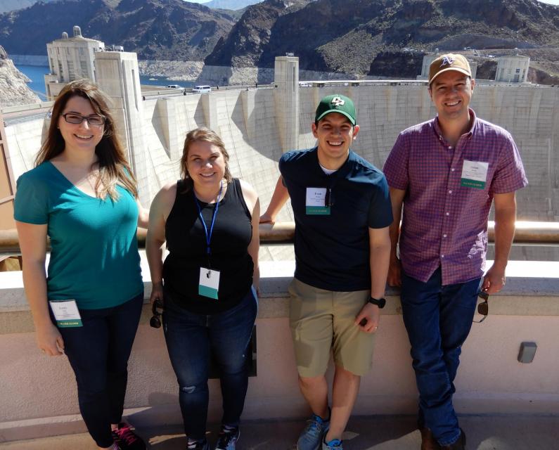
This tour explored the lower Colorado River firsthand where virtually every drop of the river is allocated, yet demand is growing from myriad sources — increasing population, declining habitat, drought and climate change.
The 1,450-mile river is a lifeline to some 40 million people in the Southwest across seven states, 30 tribal nations and Mexico. How the Lower Basin states – Arizona, California and Nevada – use and manage this water to meet agricultural, urban, environmental and industrial needs was the focus of this tour.
Hyatt Place Las Vegas At Silverton Village
8380 Dean Martin Drive
Las Vegas, NV 89139
The lower Colorado River has virtually every drop allocated, yet demand is growing from myriad sources — increasing population, declining habitat, drought and climate change.
The 1,450-mile river is a lifeline to 40 million people in the Southwest across seven states, 30 tribal nations and Mexico. How the Lower Basin states – Arizona, California and Nevada – use and manage this water to meet agricultural, urban, environmental and industrial needs was the focus of this tour.
Hyatt Place Las Vegas At Silverton Village
8380 Dean Martin Drive
Las Vegas, NV 89139
For more than 20 years, Tanya
Trujillo has been immersed in the many challenges of the Colorado
River, the drought-stressed lifeline for 40 million people from
Denver to Los Angeles and the source of irrigation water for more
than 5 million acres of winter lettuce, supermarket melons and
other crops.
Trujillo has experience working in both the Upper and Lower
Basins of the Colorado River, basins that split the river’s water
evenly but are sometimes at odds with each other. She was a
lawyer for the state of New Mexico, one of four states in the
Upper Colorado River Basin, when key operating guidelines for
sharing shortages on the river were negotiated in 2007. She later
worked as executive director for the Colorado River Board of
California, exposing her to the different perspectives and
challenges facing California and the other states in the river’s
Lower Basin.
State work to improve wildlife habitat and tamp down dust at California’s ailing Salton Sea is finally moving forward. Now the sea may be on the verge of getting the vital ingredient needed to supercharge those restoration efforts – money.
The shrinking desert lake has long been a trouble spot beset by rising salinity and unhealthy, lung-irritating dust blowing from its increasingly exposed bed. It shadows discussions of how to address the Colorado River’s two-decade-long drought because of its connection to the system. The lake is a festering health hazard to nearby residents, many of them impoverished, who struggle with elevated asthma risk as dust rises from the sea’s receding shoreline.
Out of sight and out of mind to most
people, the Salton Sea in California’s far southeast corner has
challenged policymakers and local agencies alike to save the
desert lake from becoming a fetid, hyper-saline water body
inhospitable to wildlife and surrounded by clouds of choking
dust.
The sea’s problems stretch beyond its boundaries in Imperial and
Riverside counties and threaten to undermine multistate
management of the Colorado River. A 2019 Drought Contingency Plan for the
Lower Colorado River Basin was briefly stalled when the Imperial
Irrigation District, holding the river’s largest water
allocation, balked at participating in the plan because, the
district said, it ignored the problems of the Salton Sea.
This event explored the lower Colorado River where virtually every drop of the river is allocated, yet demand is growing from myriad sources — increasing population, declining habitat, drought and climate change.
The 1,450-mile river is a lifeline to 40 million people in the Southwest across seven states and Mexico. How the Lower Basin states – Arizona, California and Nevada – use and manage this water to meet agricultural, urban, environmental and industrial needs was the focus of this tour.
Even as stakeholders in the Colorado River Basin celebrate the recent completion of an unprecedented drought plan intended to stave off a crashing Lake Mead, there is little time to rest. An even larger hurdle lies ahead as they prepare to hammer out the next set of rules that could vastly reshape the river’s future.
Set to expire in 2026, the current guidelines for water deliveries and shortage sharing, launched in 2007 amid a multiyear drought, were designed to prevent disputes that could provoke conflict.
One of California Gov. Gavin
Newsom’s first actions after taking office was to appoint Wade
Crowfoot as Natural Resources Agency secretary. Then, within
weeks, the governor laid out an ambitious water agenda that
Crowfoot, 45, is now charged with executing.
That agenda includes the governor’s desire for a “fresh approach”
on water, scaling back the conveyance plan in the Sacramento-San
Joaquin Delta and calling for more water recycling, expanded
floodplains in the Central Valley and more groundwater recharge.
For the bulk of her career, Jayne
Harkins has devoted her energy to issues associated with the
management of the Colorado River, both with the U.S. Bureau of
Reclamation and with the Colorado River Commission of Nevada.
Now her career is taking a different direction. Harkins, 58, was
appointed by President Trump last August to take the helm of the
United States section of the U.S.-Mexico agency that oversees
myriad water matters between the two countries as they seek to
sustainably manage the supply and water quality of the Colorado
River, including its once-thriving Delta in Mexico, and other
rivers the two countries share. She is the first woman to be
named the U.S. Commissioner of the International Boundary and
Water Commission for either the United States or Mexico in the
commission’s 129-year history.
This tour explored the lower Colorado River where virtually every drop of the river is allocated, yet demand is growing from myriad sources — increasing population, declining habitat, drought and climate change.
The 1,450-mile river is a lifeline to 40 million people in the Southwest across seven states and Mexico. How the Lower Basin states – Arizona, California and Nevada – use and manage this water to meet agricultural, urban, environmental and industrial needs is the focus of this tour.
Silverton Hotel
3333 Blue Diamond Road
Las Vegas, NV 89139
There’s going to be a new governor
in California next year – and a host of challenges both old and
new involving the state’s most vital natural resource, water.
So what should be the next governor’s water priorities?
That was one of the questions put to more than 150 participants
during a wrap-up session at the end of the Water Education
Foundation’s Sept. 20 Water Summit in Sacramento.
We explored the lower Colorado River where virtually every drop
of the river is allocated, yet demand is growing from myriad
sources — increasing population, declining habitat, drought and
climate change.
The 1,450-mile river is a lifeline to 40 million people in
the Southwest across seven states and Mexico. How the Lower Basin
states – Arizona, California and Nevada – use and manage this
water to meet agricultural, urban, environmental and industrial
needs was the focus of this tour.
Hampton Inn Tropicana
4975 Dean Martin Drive, Las Vegas, NV 89118
California voters may experience a sense of déjà vu this year when they are asked twice in the same year to consider water bonds — one in June, the other headed to the November ballot.
Both tackle a variety of water issues, from helping disadvantaged communities get clean drinking water to making flood management improvements. But they avoid more controversial proposals, such as new surface storage, and they propose to do some very different things to appeal to different constituencies.
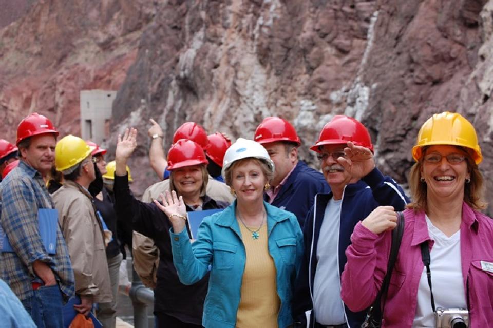
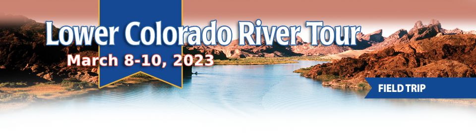
Tickets are now on sale for the Water Education Foundation’s April 11-13 tour of the Lower Colorado River.
Don’t miss this opportunity to visit key sites along one of the nation’s most famous rivers, including a private tour of Hoover Dam, Central Arizona Project’s Mark Wilmer pumping plant and the Havasu National Wildlife Refuge. The tour also visits the Salton Sea, Slab City, the All-American Canal and farming regions in the Imperial and Coachella valleys.
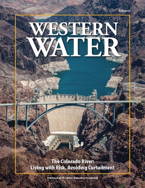
This issue of Western Water discusses the challenges
facing the Colorado River Basin resulting from persistent
drought, climate change and an overallocated river, and how water
managers and others are trying to face the future.
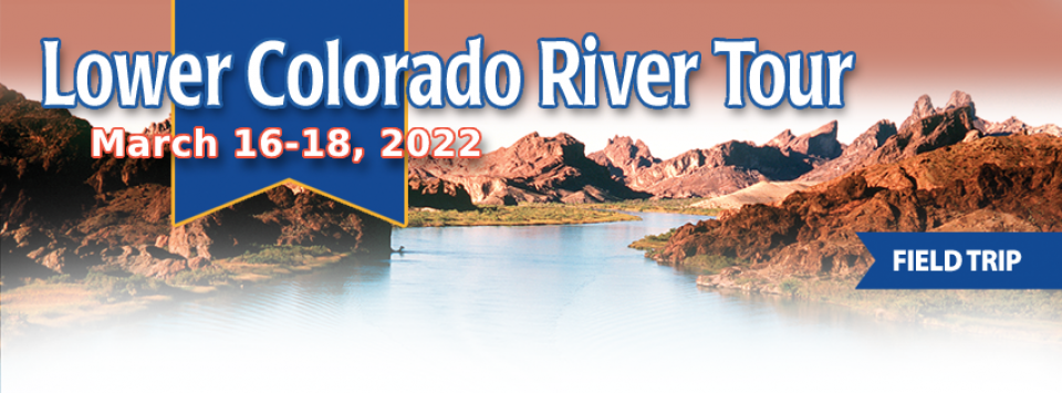
This three-day, two-night tour explored the lower Colorado River
where virtually every drop of the river is allocated, yet demand
is growing from myriad sources — increasing population,
declining habitat, drought and climate change.
The 1,450-mile river is a lifeline to 40 million people in
the Southwest across seven states and Mexico. How the Lower Basin
states – Arizona, California and Nevada – use and manage this
water to meet agricultural, urban, environmental and industrial
needs is the focus of this tour.
Best Western McCarran Inn
4970 Paradise Road
Las Vegas, NV 89119
Scientifically and legislatively, lakes are indistinguishable
from
ponds, but lakes generally are considered to be longer and
deeper lentic, or still, waters. In the 18th and
19th centuries, scientists attempted to distinguish
the two more formally, stating that ponds were shallow enough to
allow sunlight to penetrate to the bottom, but this exists
today as an unofficial point.
Fearing an imminent public health threat, the director of the
University of California, Irvine’s Salton Sea Initiative said the
State Water Resources Control Board should step in and regulate
the rate of water transferred from the Imperial Valley to coastal
California as part of the Quantification Settlement Agreement.
The shallow, briny inland lake at the southeastern edge of
California is slowly evaporating and becoming more saline –
threatening the habitat for fish and birds and worsening air
quality as dust from the dry lakebed is whipped by the constant
winds.
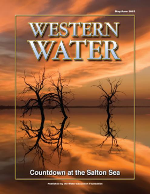
(Read this excerpt from the May/June 2015 issue along with
the editor’s note. Click here to
subscribe to Western Water and get full access.)
This 25-minute documentary-style DVD, developed in partnership
with the California Department of Water Resources, provides an
excellent overview of climate change and how it is already
affecting California. The DVD also explains what scientists
anticipate in the future related to sea level rise and
precipitation/runoff changes and explores the efforts that are
underway to plan and adapt to climate.
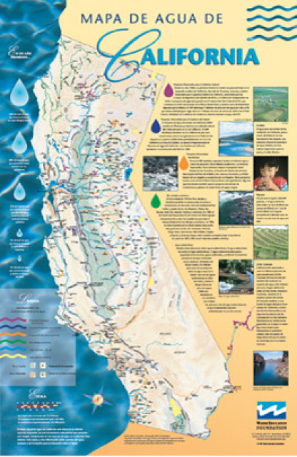
A new look for our most popular product! And it’s the perfect
gift for the water wonk in your life.
Our 24×36 inch California Water Map is widely known for being the
definitive poster that shows the integral role water plays in the
state. On this updated version, it is easier to see California’s
natural waterways and man-made reservoirs and aqueducts
– including federally, state and locally funded
projects – the wild and scenic rivers system, and
natural lakes. The map features beautiful photos of
California’s natural environment, rivers, water projects,
wildlife, and urban and agricultural uses and the
text focuses on key issues: water supply, water use, water
projects, the Delta, wild and scenic rivers and the Colorado
River.
As part of the historic Colorado
River Delta, the Salton Sea regularly filled and dried for
thousands of years due to its elevation of 237 feet below
sea level.
The Pacific Flyway is one of four
major North American migration routes for birds, especially
waterfowl, and extends from Alaska and Canada, through
California, to Mexico and South America. Each year, birds follow
ancestral patterns as they travel the flyway on their annual
north-south migration. Along the way, they need stopover sites
such as wetlands with suitable habitat and food supplies. In
California, 90 percent of historic wetlands have been lost.
Southern California’s Imperial Valley is home to California’s
earliest agricultural
drainage success story, one that converted a desert landscape
to an agricultural one, but at the same time created far reaching
consequences.
Water from the Colorado River transformed the sagebrush and
desert sands of the Imperial, Coachella and Palo Verde valleys
into lush, green agricultural fields. The growing season is
year-round, the water plentiful and the local economies are based
almost entirely on farming. As the waters of the Colorado River
allowed the deserts to bloom, they allowed southern California
cities like Los Angeles and San Diego to boom. Suburbs, jobs and
people followed, and the population within the six counties
served by Metropolitan Water District of Southern California
(MWD) grew from 2.8 million in 1930 to more than 17 million
today.


")
")
")
")
")
")
")