

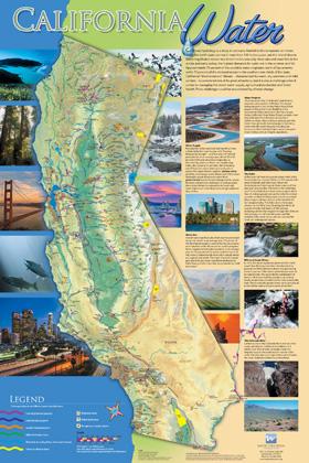
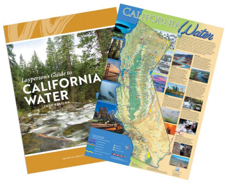
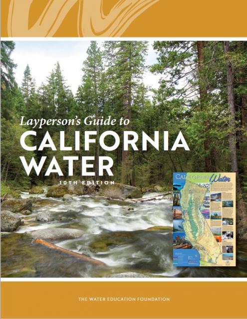
California Water Map
Updated December 2016
A new look for our most popular product! And it’s the perfect gift for the water wonk in your life.
Our 24×36-inch California Water Map is widely known for being the definitive poster that shows the integral role water plays in the state. On this updated version, it is easier to see California’s natural waterways and man-made reservoirs and aqueducts – including federally, state and locally funded projects – the wild and scenic rivers system, and natural lakes. The map features beautiful photos of California’s natural environment, rivers, water projects, wildlife, and urban and agricultural uses and the text focuses on key issues: water supply, water use, water projects, the Delta, wild and scenic rivers and the Colorado River.
Map is UV coated to resist fading. Suitable for framing, copies of the map are available for $20 each, plus applicable tax and shipping charges.
To order 10 copies or more at a discounted price, contact the Foundation at 916-444-6240.
Referring Pages

")


")


")

 near the headwaters of the Middle Fork of the American River. (Source: California Department of Water Resources)")
")
")
")
")
")
")
 and temperature. This gauge near downtown Sacramento measures water depth. (Source: California Department of Water Resources)")
")
")
")

")
")
: Karla Nemeth, director, California Department of Water Resources; Gloria Gray, chair, Metropolitan Water District of Southern California; Brenda Burman, Bureau of Reclamation Commissioner; Jayne Harkins, commissioner, International Boundary and Water Commission, U.S. and Mexico; Amy Haas, executive director, Upper Colorado River Commission.")
")
")
")
")
")

")


")
")
- 1 of 2
- ››