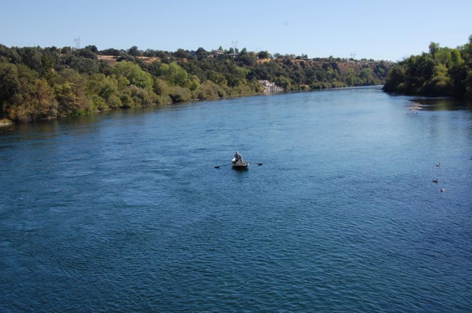
California’s largest river, the Sacramento, provides
31 percent of the state’s surface water runoff.
Once called “the Nile of the West,” the Sacramento River drains
the inland slopes of the Klamath Mountains, the Cascade Range,
the Coast Ranges and the western slopes of the northern Sierra Nevada. The river stretches
some 384 miles from its headwaters near Mount Shasta to the
Sacramento-San
Joaquin Delta.
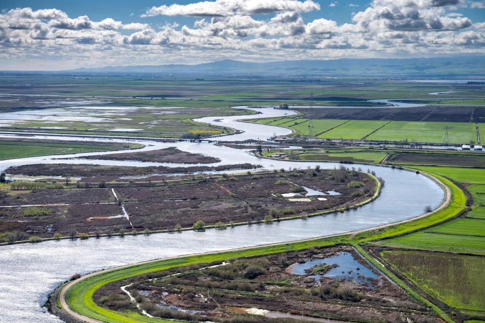
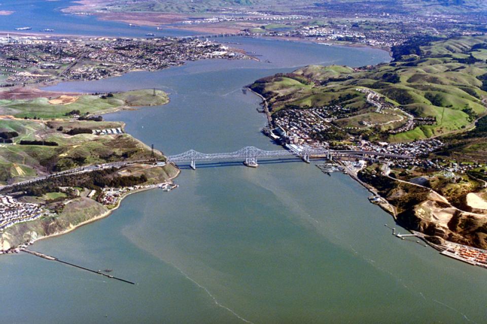
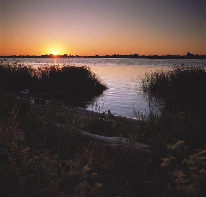
The Sacramento-San Joaquin Delta is California’s most crucial
water and ecological resource. It is the largest freshwater tidal
estuary of its kind
on the west coast of the Americas, providing important habitat
for birds on the Pacific Flyway and for fish that live in or pass
through the Delta. It also the hub of California’s two largest
surface water delivery projects, the State Water Project and the
federal Central
Valley Project. The Delta provides a portion of the drinking
water for 27 million Californians and irrigation water for
large portions of the state’s $50 billion agricultural industry.
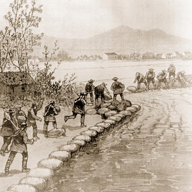
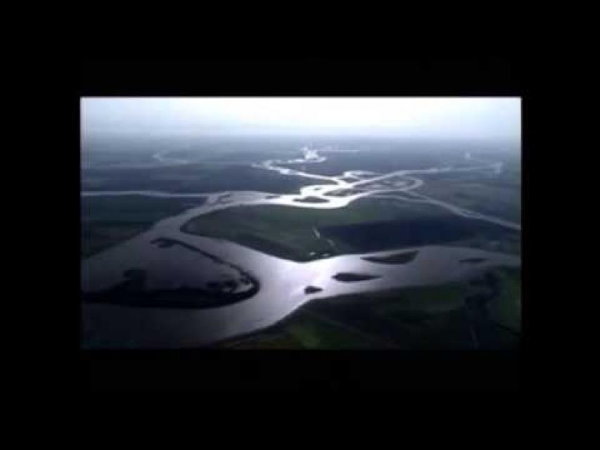
The Sacramento-San Joaquin Delta always has been at the mercy of
river flows and brackish tides.
Before human intervention, salty ocean water from the San
Francisco Bay flooded the vast Delta marshes during dry summers
when mountain runoff ebbed. Then, during winter, heavy runoff
from the mountains repelled sea water intrusion.
The Sacramento-San Joaquin
Delta has been the hub of California’s water system for more
than 50 years and along the way water experts have struggled
to balance the many competing demands placed on the estuary—the
largest freshwater tidal estuary on the West Coast.
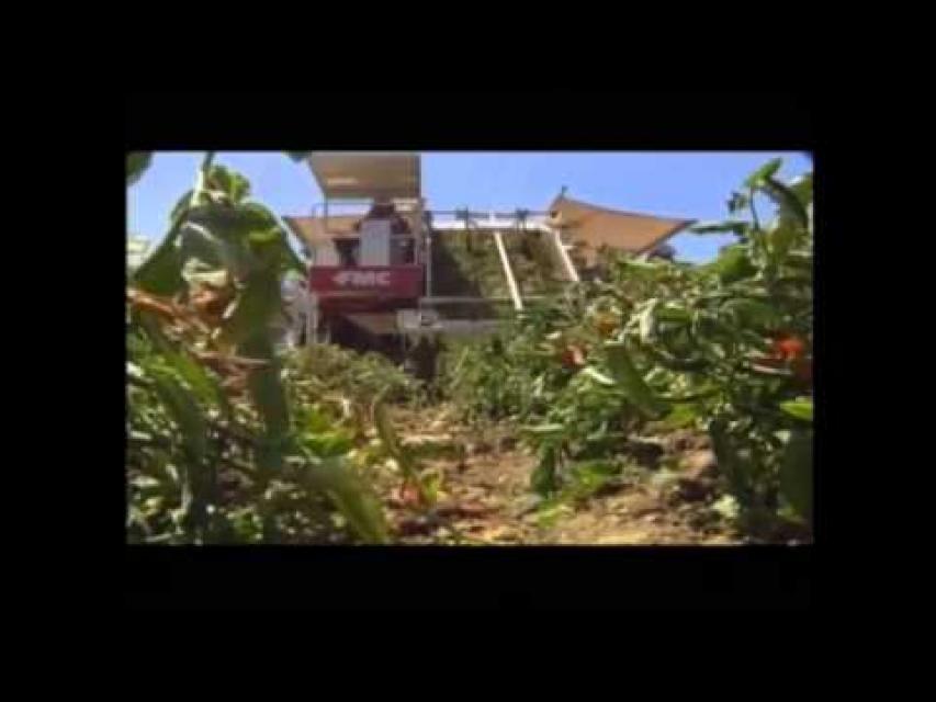
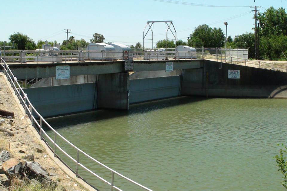
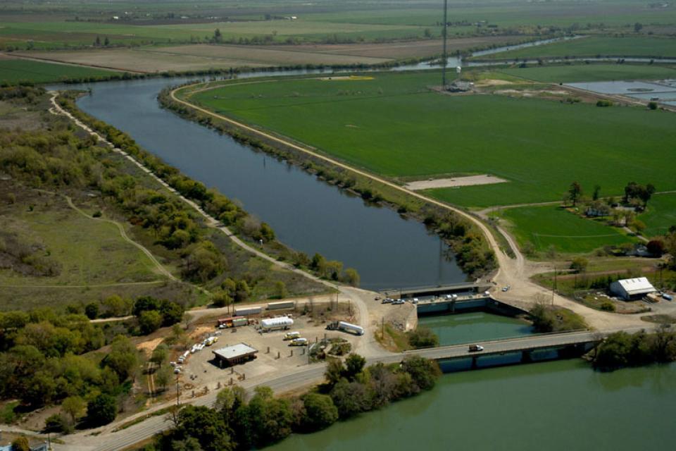
The 6,000-foot Delta Cross Channel diverts water from the
Sacramento River into a
branch of the Mokelumne River, where it follows natural channels
for about 50 miles to the Jones Pumping Plant
intake channel. Located near the State Water Project’s
Harvey O.
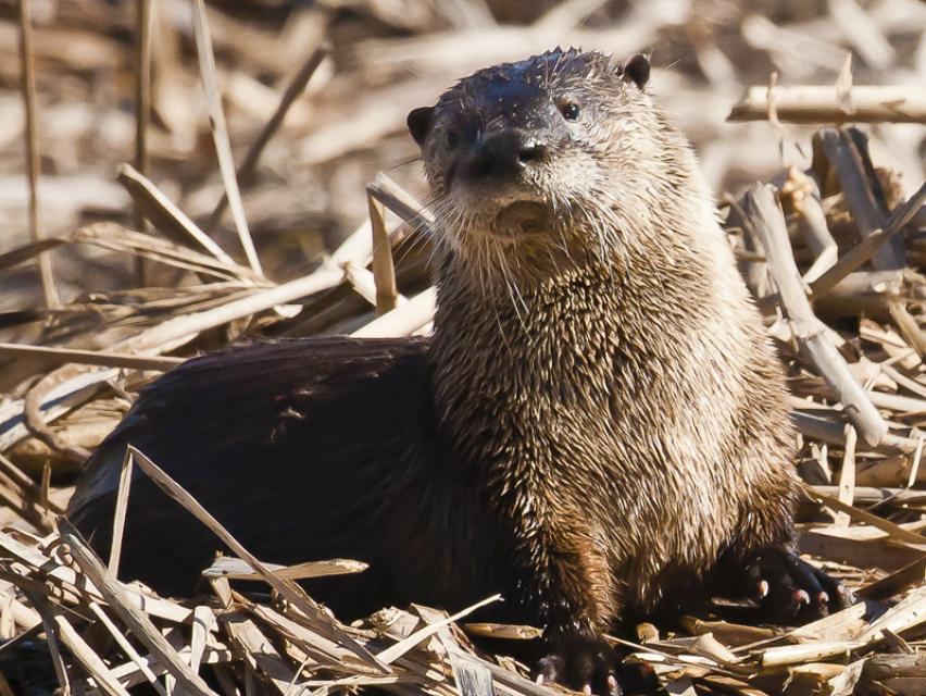
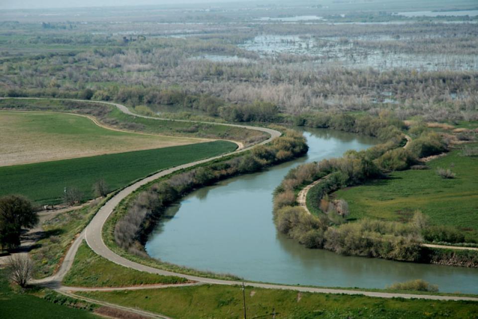
The Sacramento-San Joaquin
Delta supports more than 55 fish species and more than 750
plant and wildlife species.
Over times, the home of these species-the Sacramento-San Joaquin
Delta ecosystem-has been impacted for many decades by human
activities, such as gold mining, flood protection and land
reclamation. Along the way, more than 200 exotic species have
been intentionally or accidentally introduced.
The fresh water inflow and outflow of the Sacramento-San Joaquin
Delta is critical to its vitality and survival.
Freshwater flows from the Delta meets saltwater from the ocean
near Suisun Marsh located to the east of San Francisco Bay.
Suisun Marsh and adjoining
bays are the brackish transition between fresh and salt water.
But the location of that transition is not fixed.
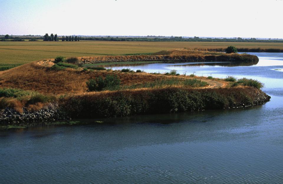
The Sacramento-San Joaquin
Delta includes approximately 500,000 acres of waterways,
levees and farmed lands extending over portions of six counties:
Alameda, Contra Costa, Sacramento, San Joaquin, Solano and Yolo.
Roughly 1,115 miles of levees protect farms, cities, schools and
people in and around the Sacramento-San Joaquin
Delta, a crucial conduit for California’s overall water
supply. But the Delta’s levees are vulnerable to failure due to
floods, earthquakes and rising sea levels brought about by
climate change. A widespread failure could imperil the state’s
water supply.
For more than 30 years, the Sacramento-San Joaquin
Delta has been embroiled in continuing controversy over the
struggle to restore the faltering ecosystem while maintaining its
role as the hub of the state’s water supply.
Lawsuits and counter lawsuits have been filed, while
environmentalists and water users continue to clash over
the amount of water that can be safely exported from the region.
There are multiple proposals for the Sacramento-San Joaquin Delta
underway, though a decision on the future of the Delta is still
far from a foregone conclusion.
Unlike past planning efforts that focused primarily on water
resource issues and the ecosystem, some current efforts to
revitalize the Sacramento-San Joaquin Delta include:
land use planning
recreation
flood management and energy
rail and transportation infrastructure
How— or if—all these competing demands can be accommodated is an
open question.
The federal Safe Drinking Water Act sets standards for drinking
water quality in the United States.
Launched in 1974 and administered by the U.S. Environmental
Protection Agency, the Safe Drinking Water Act oversees states,
communities, and water suppliers who implement the drinking water
standards at the local level.
The act’s regulations apply to every public water system in the
United States but do not include private wells serving less than
25 people.
According to the EPA, there are more than 160,000 public water
systems in the United States.
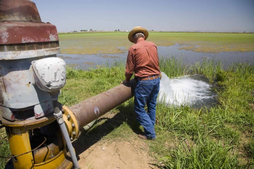
Landowners in California are entitled to pump and use a
reasonable amount of groundwater from a basin underlying their
land. When there is insufficient water to meet demand, property
owners are expected to extract the safe yield—the rate at which
groundwater can be withdrawn without causing long-term decline of
water levels.
If the amount of groundwater withdrawn exceeds the safe yield
amounts, the well can go dry.
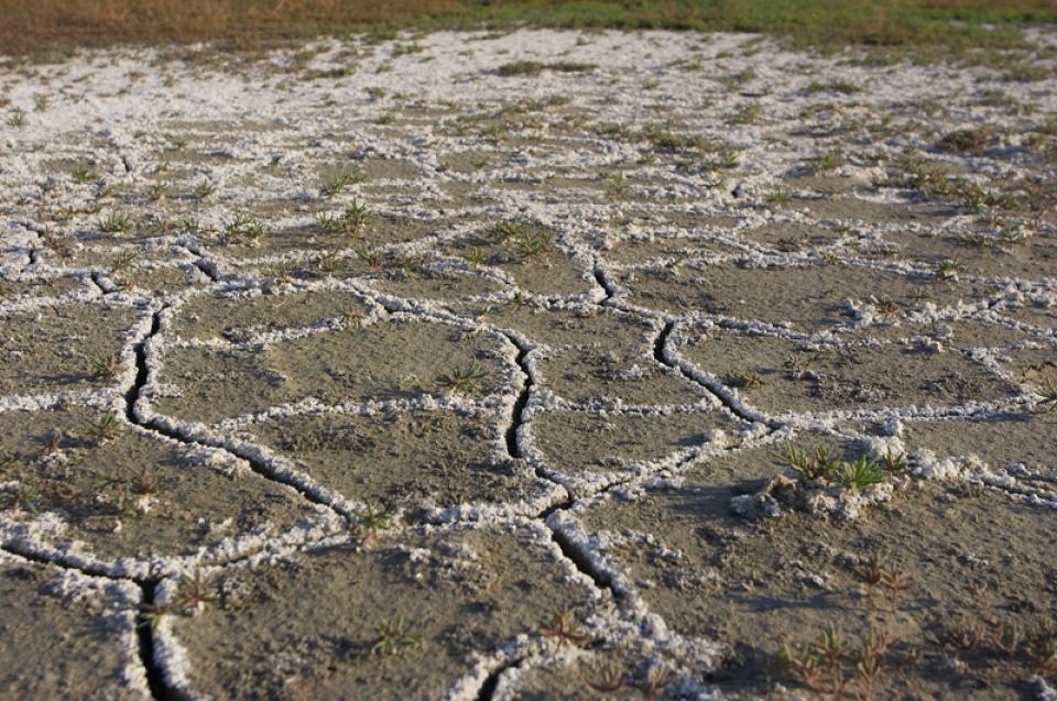
Excess salinity poses a growing
threat to food production, drinking water quality and public
health. Salts increase the cost of urban drinking water and
wastewater treatment, which are paid for by residents and
businesses. Increasing salinity is likely the largest long-term
chronic water quality impairment to surface and groundwater in California’s Central
Valley.
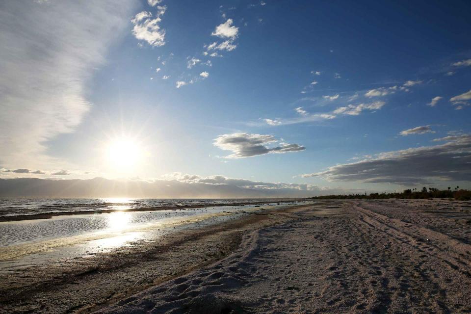
As part of the historic Colorado
River Delta, the Salton Sea regularly filled and dried for
thousands of years due to its elevation of 237 feet below
sea level.
The most recent version of the Salton Sea was formed in 1905 when
the Colorado River broke
through a series of dikes and flooded the seabed for two years,
creating California’s largest inland body of water. The
Salton Sea, which is saltier than the Pacific Ocean, includes 130
miles of shoreline and is larger than Lake Tahoe.
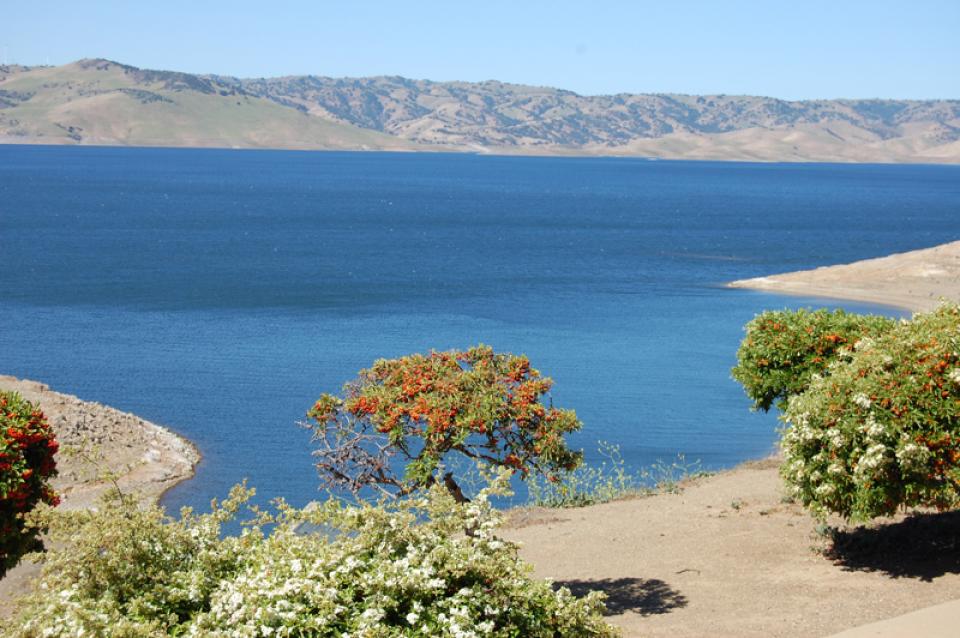
California’s central coast is home to the San Felipe Division of
the federal Central
Valley Project. Authorized in the 1960s and completed in
1988, San Felipe Division includes a 5.3-mile-long tunnel (the
Pacheco Tunnel), pumping plant and other conduits.
It transports water west from the Central Valley’s San Luis
Reservoir near Los Banos to supply Santa Clara and the high-tech
Santa Clara Valley as well as parts of Santa Cruz, Monterey and
San Benito counties.