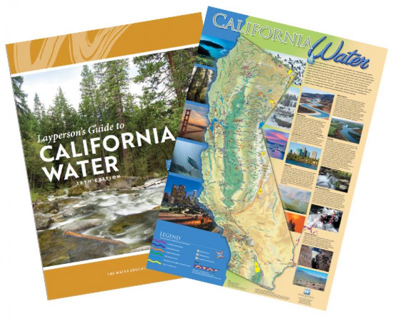
Layperson’s Guide to California Water
Updated 2021
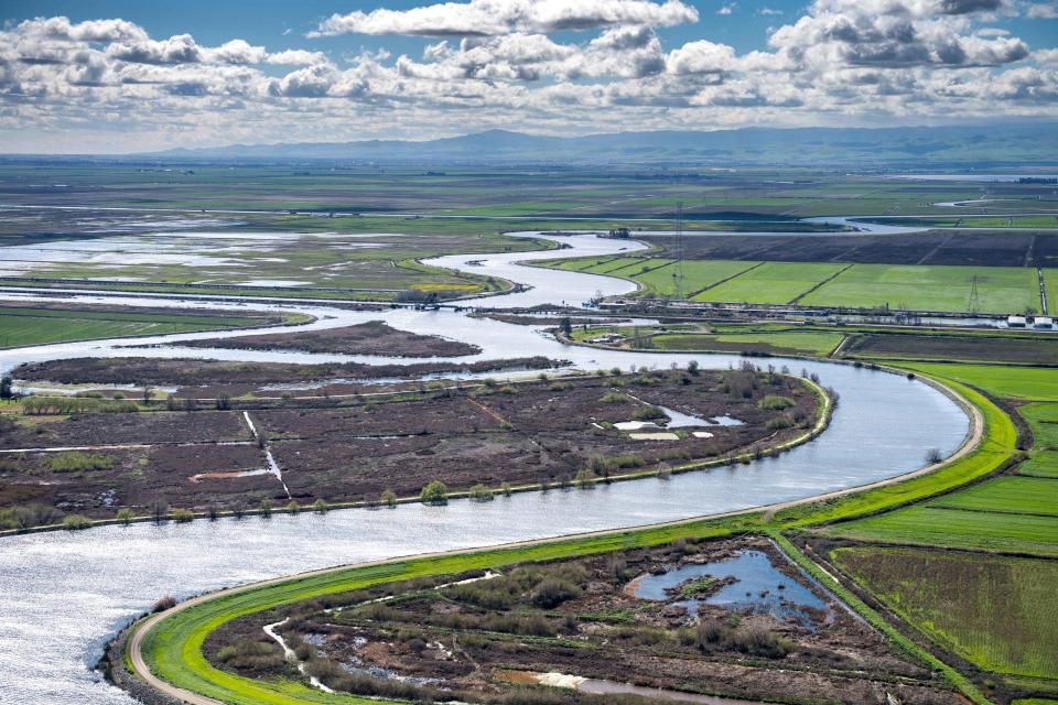
The 24-page Layperson’s Guide to California Water provides an excellent overview of the history of water development and use in California. It includes sections on flood management; the state, federal and Colorado River delivery systems; Delta issues; water rights; environmental issues; water quality; and options for stretching the water supply such as water marketing and conjunctive use. New in this 10th edition of the guide is a section on the human need for water.
The guide also includes a useful chronology of California water history. An excellent basic reference tool to California water, the Layperson’s Guide to California Water complements the California Water Map. Order in bulk (50 or more copies of the same guide) for a reduced fee. Contact the Foundation, 916-444-6240, for details.