Negotiations over a new operating plan for the Colorado River
are being hobbled by the federal government’s failure to take a
more aggressive role in the discussions, said current and
former state and federal officials Thursday. The critiques came
from a cadre of former water managers who took part in previous
deals on the waterway under both Democratic and Republican
administrations, speaking during the annual 45th Annual
Colorado Law Conference on Natural Resources at the University
of Colorado. “The current process kind of feels like the
conclave,” said Jim Lochhead, the former CEO of Denver Water
and former executive director of the Colorado Department of
Natural Resources, referring to the process of electing a new
Catholic pope. “We’re waiting for the black smoke or the white
smoke to come out of the seven-state negotiating meeting.”
When the head of the Environmental Protection Agency announced
a wide-ranging rollback of environmental regulations, he said
it would put a “dagger through the heart of climate-change
religion” and introduce a “Golden Age” for the American
economy. What Lee Zeldin didn’t mention: how ending the rules
could have devastating consequences to human health. The
EPA-targeted rules could prevent an estimated 30,000 deaths and
save $275 billion each year they are in effect, according to an
Associated Press examination that included the agency’s own
prior assessments as well as a wide range of other
research. The AP set out to look at what could happen if
all the rules were eliminated, by first examining exhaustive
assessments the EPA was required to produce before the rules
were approved. … The AP used those and eight different
government and private group databases for its estimate of
financial costs, some death estimates and analysis of pollution
trends.
Look down from a plane at farms in the Great Plains and the
West and you’ll see green circles dotting the countryside, a
kind of agricultural pointillism. They’re from center-pivot
irrigation systems. But some farmers are finding older
versions, many built 10, 15 or even 20 years ago, aren’t
keeping up with today’s hotter reality. … By the time the
sprinkler’s arm swings back around to its starting point, the
soil has nearly dried out. The main culprit? Atmospheric
thirst. “A hotter world is a thirstier one,” said Solomon
Gebrechorkos, a hydroclimatologist at the University of Oxford.
He led a new study, published on Wednesday in the journal
Nature, which found that atmospheric thirst, a factor that
fills in some of the blanks in our understanding of drought,
over the last four decades has made droughts more frequent,
more intense and has caused them cover larger areas.
How trees fare under drought depends heavily on their past
experiences. In some cases, adversity breeds resilience: Spruce
trees that experience long-term droughts are more resistant to
future droughts, owing to an impressive ability to adjust their
canopies to save water, researchers in Germany report May 16 in
Plant Biology. On the other hand, trees may suffer when they’ve
known only wet conditions and are blindsided by droughts.
… Together, the results illustrate how trees can
“remember” times of abundance as well as scarcity. The latter,
as illustrated by the spruce study, bodes well for trees’
ability to cope with a warming world. These findings are among
the first to show that trees can become more drought-resistant
by adjusting their canopy structure.
Fifteen states, led by California, are suing the
White House over its April executive order
to protect American energy from state overreach. They
claim the order is an unconstitutional interference in state
affairs. But they’re wrong. President Trump is doing what the
Constitution empowers him to do — protect interstate commerce
and ensure that America’s energy security is not compromised by
a patchwork of state-led, politically motivated lawsuits. For
years, progressive attorneys general — led by
California’s — have kowtowed to the environmental lobby, waging
lawfare through coordinated lawsuits against American
companies for “causing” climate change. These suits are
designed to bankrupt the energy sector, force Americans onto
unreliable grids, and shift power to unelected climate
czars. –Written by Mimi Walters, who represented California in
the U.S. Congress and served on the House Judiciary and Energy
& Commerce Committees.
New research from Colorado State University and Cornell
University shows that the presence of solar panels in
Colorado’s grasslands may reduce water stress, improve soil
moisture levels and – particularly during dry years – increase
plant growth by about 20% or more compared to open fields. The
findings were published in Environmental Research Letters this
week. The paper outlines the potential benefits and challenges
when photovoltaic (PV) arrays are located in grassland
ecosystems. The findings are particularly relevant when
considering drought in the arid west and the
potential for future climate change.
… Colorado’s semi-arid grasslands often need more water
than is available through precipitation in each season. The
team found that plants beneath and around the solar systems in
that environment benefited from partial shading and additional
water that collects on panels – aiding in their fight to
survive during the harsh summer months.
The flood plains of Sacramento are a geologic
world away from the more cinematic California of coastal crags
and lofty peaks. Yet that sometimes overlooked region could be
home to one of California’s great disasters waiting to happen,
according to a February report from First Street, a prominent
climate risk prediction firm. The firm’s models suggest
that the mounting risks of catastrophic
flooding will drive Sacramento County — the heart of
California’s fourth-largest metro area, at about 2.4 million
people — to lose, in the average scenario, 28% of its
population by 2055. … Few places in the U.S., if any,
are more at risk of catastrophic flood than
Sacramento. … In modern times, water has been
corralled into aqueducts and dams and not allowed to pool into
the fertile soil, drying out the wetlands and leaving hard,
dusty earth that offers no buffer against floodwater.
Gov. Gavin Newsom is calling on the Trump administration to do
more to harden California’s forests to fire as the state
fast-tracks plans of its own to confront the wildfire threat.
On Friday, the governor announced $72 million of funding for a
slew of large-scale forest resiliency projects, primarily
tree-thinning and prescribed burns. All of the projects qualify
for an expedited environmental review process initiated by
Newsom in March for fire safety work. … The state funding
announced this week will go to 12 forestry projects, from
pulling out highly combustible weeds and planting
fire-resistant trees in San Bernardino County to paring back
overgrown forests with proactive burns in Humboldt County. One
$7 million project would create a “ring” of protected space
around communities in Santa Cruz County. Another project,
costing $4.2 million, seeks to improve the health of forests in
the upper Mokelumne River watershed in the
central Sierra Nevada.
As hot, dry and disastrous as the last few years have been, it
appears that the chaos caused by a warming planet is just
getting started. Though the hottest year in nearly two
centuries was recorded only last year, the world will probably
shatter that record yet again by 2029, according to a new
report from the World Meteorological Organization, the climate
and weather arm of the United Nations. There is a very good
chance that average warming over the next five years will be
more than 2.7 degrees Fahrenheit, or 1.5 degrees Celsius, above
preindustrial levels, the cap established by the Paris
Agreement to ward off the worst consequences of climate change.
… In the western U.S. states, including
California, those effects most probably include
drought, heat waves and longer fire seasons
with more intense wildfires, climate scientists said.
The major heat wave expected in California’s Central Valley
this weekend will bring triple-digit temperatures and increased
fire risk, a harbinger for what figures to be another scorching
summer. And this year the typically cool coastal areas may not
be spared, raising the possibility of even more widely spread
wildfires for a state long beleaguered by
them. … AccuWeather senior meteorologist Scott
Homan said the chances of wildfires will also be heightened,
especially in Southern California after it received
below-average precipitation in the winter and early spring.
Most of the region is in a drought, and
significant parts are in extreme drought. …The National
Interagency Fire Center noted the snowpack has
been melting faster than usual amid warm weather in the West
and will dissipate by late June even in mountain areas that had
large accumulations, removing a barrier to wildfire spread over
the summer.
The rate at which trees are dying in California has hit a
10-year low, according to a survey from the U.S. Forest
Service. Trees were dying at an alarming rate from 2015 to
2018, but after significant snow and rainfall in recent years,
trees are getting their necessary nutrients. ”We’ve had a
couple good years of precipitation,” said Jeffrey Moore, aerial
survey manager with the Forest Service. “We expected the amount
of mortality to start tapering off, and indeed that was the
case.” Severe droughts, he says, are the main culprits for the
amount of trees that die. Less water means fewer nutrients,
which then allows for a greater chance of trees to get disease
or infected with bugs that feed on dry bark. “The drought
itself was what we call the proximal factor,” Moore said. “It
weakened the trees to the point where other things could come
in and actually kill them outright.”
Sea level rise will become unmanageable at just 1.5C of global
heating and lead to “catastrophic inland migration”, the
scientists behind a new study have warned. This scenario may
unfold even if the average level of heating over the last
decade of 1.2C continues into the future. The loss of ice from
the giant Greenland and Antarctic ice sheets has quadrupled
since the 1990s due to the climate crisis and is now the
principal driver of sea level rise. The international target to
keep global temperature rise below 1.5C is already almost out
of reach. But the new analysis found that even if fossil fuel
emissions were rapidly slashed to meet it, sea levels would be
rising by 1cm a year by the end of the century, faster than the
speed at which nations could build coastal defences.
… The corporate race to amass computing resources to train
and run artificial intelligence models and store information in
the cloud has sparked a data center boom in the desert—just far
enough away from Nevada’s communities to elude wide notice and,
some fear, adequate scrutiny. The full scale and potential
environmental impacts of the developments aren’t known, because
the footprint, energy needs, and water
requirements are often closely guarded corporate secrets. Most
of the companies didn’t respond to inquiries from MIT
Technology Review, or declined to provide additional
information about the projects. … The build-out of a
dense cluster of energy and water-hungry data centers in a
small stretch of the nation’s driest state, where climate
change is driving up temperatures faster than anywhere else in
the country, has begun to raise alarms among water experts,
environmental groups, and residents.
Less than six months into his second term as president, Donald
Trump has initiated or proposed more than 150 actions that
experts say are detrimental to the environment, which range
from cancelling climate grant programs to loosening regulations
that govern air and water quality. Many of these actions have
been part of the president’s larger goals of reining in
government spending, increasing energy independence and
restructuring federal agencies. But some also appear to target
one state in particular: California. Long known as a
nationwide leader in climate and environmental policy, the
Golden State has been in Trump’s crosshairs since his first
administration, when he sparred with Gov. Gavin Newsom over
issues such as forest and water-supply management.
The recent firing of the head of the Federal Emergency
Management Agency is just the latest in a string of blows for
the nation’s top disaster-response agency, which has been
repeatedly undercut by the Trump administration’s efforts to
rein in spending and restructure the federal government. The
dismissal of acting Director Cameron Hamilton on May 8 adds to
ongoing layoffs, budget cuts, grant cancellations and
leadership changes at FEMA, and officials now say the agency
could run out of money as soon as July. … Experts say the
turmoil at FEMA will leave millions of Americans vulnerable as
climate-change-fueled disasters get worse in the months and
years ahead — particularly as President Trump seeks to shift
more of the burden of disaster response away from the federal
government and onto the states. In the wake of January’s
destructive firestorm in Los Angeles, FEMA notably opted to
break from its decades-long tradition of testing soil for
contaminants, as The Times first reported.
The societal risks posed by heat waves can be reinforced and
magnified during drought conditions. To explore this further in
the United States, heat waves and drought events were defined
at U.S. Climate Reference Network (USCRN) stations using daily
maximum air temperature and weekly time series of the U.S.
Drought Monitor (USDM). … Given that 5-cm standardized soil
moisture anomalies were found to both vary (wet and dry
conditions) within drought events and strongly impact both air
temperature and heat index intensity, the muted intensity
response to drought may be related to the USDM’s limited
response to short-term precipitation events that are sufficient
to moisten the soil and impact heat waves, but not ameliorate
drought. This highlights the importance of evaluating heat
waves at subdaily scales and explicitly accounting for the role
of soil moisture in influencing heat wave intensity and
exposure.
Democratic Senator Adam Schiff on Tuesday urged Commerce
Secretary Howard Lutnick and the National Oceanic and
Atmospheric Administration’s acting secretary to restore a
database that tracked billion-dollar U.S. disasters. He said
its removal prevented lawmakers, insurance companies and
taxpayers from seeing the growing cost of more frequent natural
disasters and from planning for future extreme weather
events. … Schiff, who represents California, also warned
that sweeping job cuts at NOAA have left the agency
understaffed ahead of hurricane season, which begins June 1,
saying that 30 of 122 weather forecast offices at the National
Weather Service lack chief meteorologists.
The White House has ordered federal agencies to stop
considering the economic damage caused by climate change when
writing regulations, except in cases where it is “plainly
required” by law. The directive effectively shelves a powerful
tool that has been used for more than two decades by the
federal government to weigh the costs and benefits of a
particular policy or regulation. The Biden administration had
used the tool to strengthen limits on greenhouse gas emissions
from cars, power plants, factories and oil refineries. Known as
the “social cost of carbon,” the metric reflects the estimated
damage from global warming, including wildfires, floods and
droughts. It affixes a cost to the economy from one ton of
carbon dioxide pollution, the main greenhouse gas that is
heating the planet.
Federal scientists will no longer update a list of weather
disasters that cause billions of dollars in damage, the
National Oceanic and Atmospheric Administration said Thursday.
The list had been growing dramatically in recent years, a sign
of both extreme weather and increasing development across the
country. It is on a growing list of scientific datasets
that NOAA says scientists will no longer update or that the
administration will decommission entirely. The agency said the
existing disaster records, stretching from 1980 through 2024,
will remain accessible. Without updates to the database, it
could become harder for the country to assess the ways climate
change, building patterns and population trends are exposing
Americans to weather hazards.
In November 2024, powerful gusts whipped across parts of the
Central Valley. The winds not only knocked out power, but they
also kicked up soil particles, producing a massive dust storm.
The extreme weather event dropped visibility to near zero,
grinding highway traffic to a halt. Scientists expect dust
storms in California to occur even more often in the future,
due to climate change and human activities like construction
and agriculture. … The Sustainable
Groundwater Management Act may have also increased the
chances for dust storms. The act, passed in 2014, limits the
overdraft of groundwater in order protect groundwater basins in
the long term. It has caused farmers to take some fields out of
production due to decreased water access.
For people on the West Coast, atmospheric rivers, a weather
phenomenon that can bring heavy rain or snow from San Diego to
Vancouver, are as common a feature of winter as Nor’easters are
in Boston. … But it is also a specific meteorological
phenomenon that describes the moisture-rich storms that develop
over the Pacific Ocean and dump precipitation when they collide
with the mountain ranges of Washington, Oregon and California.
These plumes of exceptionally wet air transported through the
atmosphere by strong winds are not unique to the West Coast,
though. They occur around the world, and a growing number of
meteorologists and scientists are beginning to apply the term
to storms east of the Rocky Mountains.
… As climate change drives up flooding risk, the safest
move for Isleton residents might be to abandon their small city
— but short of that drastic option, insurance could provide a
safety net. Now, with help from researchers, the state has
funded its first community flood program, providing one private
insurance policy for all Isleton residents at no cost. Isleton
is piloting community-based insurance for California, which
desperately needs alternatives. … Isleton hoped to fund
the program independently after the pilot ends in 2027 by
establishing a parcel tax, but many residents seem unsupportive
of paying it. Despite the uncertain future, Isleton’s new
leadership said they plan to lock in the insurance policy this
month.
The Environmental Protection Agency plans to cancel a total of
781 grants issued under President Joe Biden, EPA lawyers wrote
in a little-noticed court filing last week, almost twice the
number previously reported. The filing in Woonasquatucket
River Watershed Council v. Department of Agriculture marks the
first time the agency has publicly acknowledged the total
number of grants set for termination, which includes all of its
environmental justice grants. It comes during court fights over
whether the EPA has violated its legal obligations when clawing
back the funds. … The canceled grants would have funded
a range of projects aimed at helping communities cope with the
worsening effects of climate change.
The Trump administration this week summarily dismissed more
than 400 scientists and other experts who had begun to write
the latest National Climate Assessment report, informing them
by email that the scope of the report was being reevaluated.
The report, mandated by Congress, is prepared every four years
under a 1990 law. It details the latest science on climate
change, and also reports on progress in addressing global
warming. Scientists said they fear the Trump administration
could seek to shut down the effort or enlist other authors to
write a very different report that seeks to attack climate
science — a path they say would leave the country ill-prepared
for worsening disasters intensified by humanity’s warming of
the planet, including more intense heat waves, wildfires,
droughts, floods and sea-level rise.
The Trump administration has dismissed the hundreds of
scientists and experts who had been compiling the federal
government’s flagship report on how global warming is affecting
the country. The move puts the future of the report, which is
required by Congress and is known as the National Climate
Assessment, into serious jeopardy, experts said. … Since
2000, the federal government has published a comprehensive look
every few years at how rising temperatures will affect human
health, agriculture, fisheries, water
supplies, transportation, energy production and other
aspects of the U.S. economy. The last climate assessment
came out in 2023 and is used by state and local governments as
well as private companies to help prepare for the effects of
heat waves, floods, droughts
and other climate-related calamities.
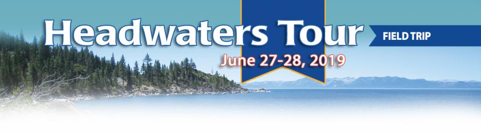
*IMPORTANT* In anticipation of high demand, the Foundation will be allocating tickets via a lottery method with a maximum of 3 entrants per organization. To enter, please thoroughly review the tour details below so you’re fully aware of the time and financial commitments, then complete this entry form. Entrants selected via the ticket lottery will be contacted beginning on June 12 with an opportunity to register for the tour.
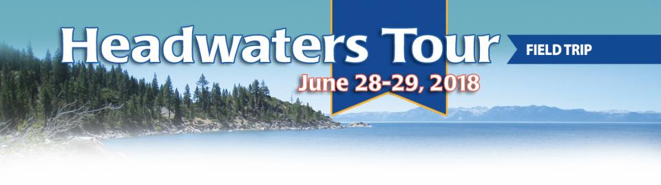
This special, first-ever Foundation water tour will not be offered every year! Join us as we examine water issues along the 263-mile Klamath River, from its spring-fed headwaters in south-central Oregon to its redwood-lined estuary on the Pacific Ocean in California.
Running Y Resort
5500 Running Y Rd
Klamath Falls, OR 97601
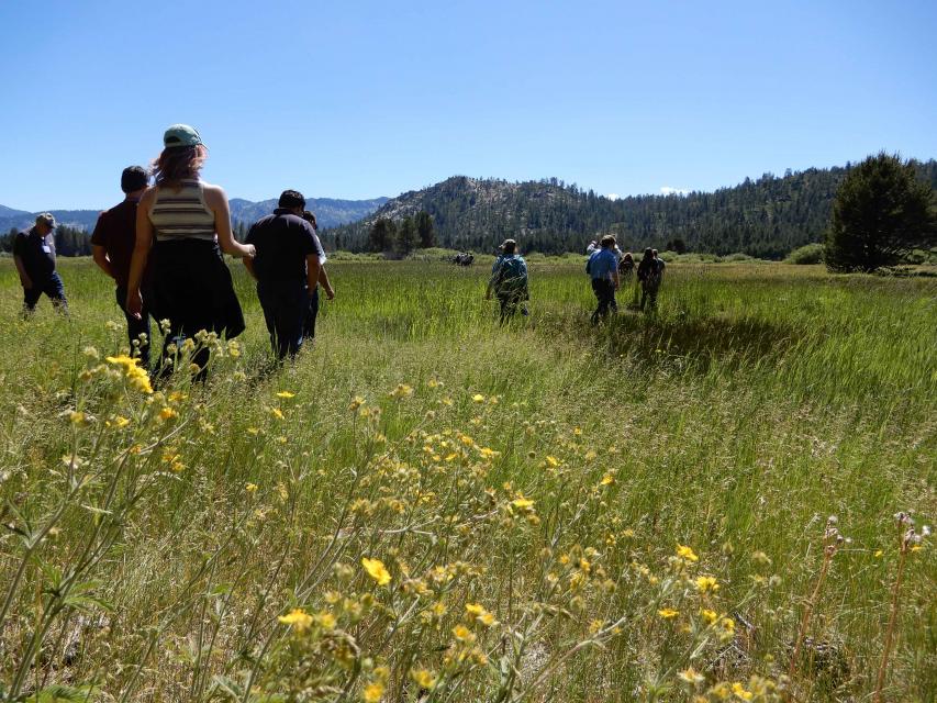
On average, more than half of California’s developed water supply originates in the Sierra Nevada and the southern spur of the Cascade Range. Our water supply is largely dependent on the health of our Sierra forests, which are suffering from ecosystem degradation, drought, wildfires and widespread tree mortality.
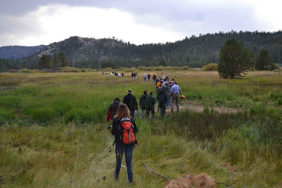
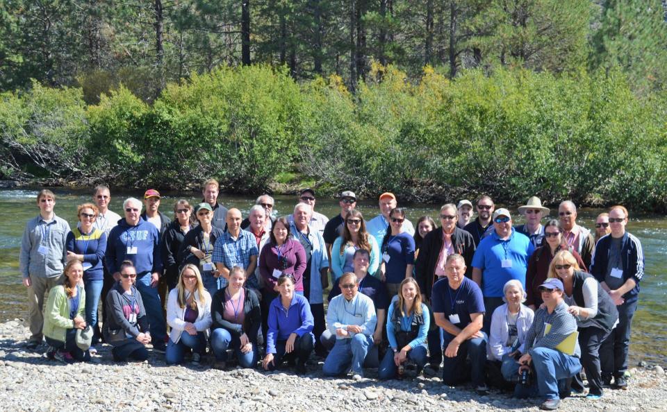
Participants joined us as we journeyed into the Sierra to examine water issues that happen upstream but have dramatic impacts downstream and throughout the state.
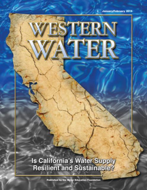
State water management officials must work more closely with
local agencies to properly prepare California for the effects
of climate change, water scientists say. Golden State
officials said in the newly revised California Water
Plan that as the nation’s most populous state, California
is too diverse and complex for a singular approach to manage a
vast water network. On Monday, they recommended expanding the
work to better manage the state’s precious water resources —
including building better partnerships with communities most at
risk during extreme drought and floods and improving critical
infrastructure for water storage, treatment and distribution
among different regions and watersheds.
Last year’s snow deluge in California, which quickly erased a
two decade long megadrought, was essentially a
once-in-a-lifetime rescue from above, a new study found. Don’t
get used to it because with climate change the 2023 California
snow bonanza —a record for snow on the ground on April 1 — will
be less likely in the future, said the study in Monday’s
journal Proceedings of the National Academy of Sciences.
… UCLA climate scientist Daniel Swain, who wasn’t part
of the study but specializes in weather in the U.S. West, said,
“I would not be surprised if 2023 was the coldest, snowiest
winter for the rest of my own lifetime in California.”
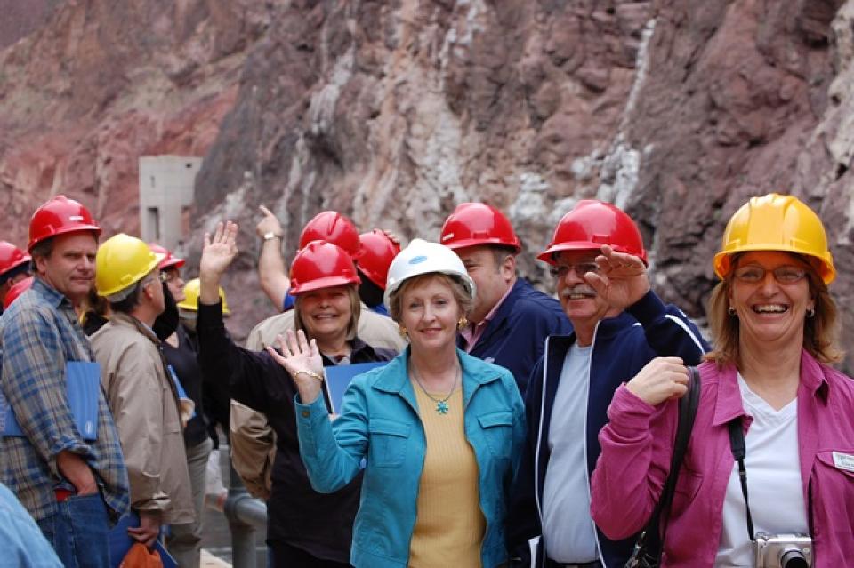
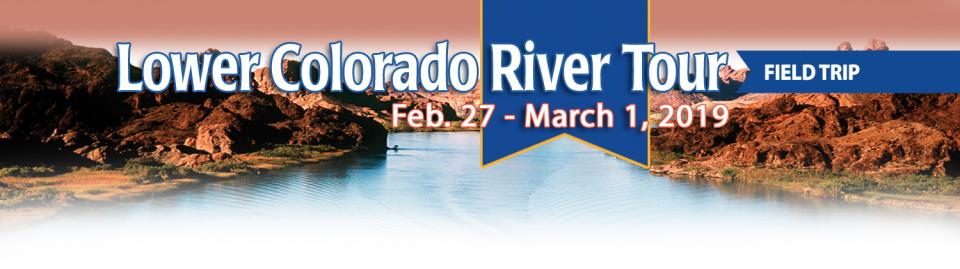
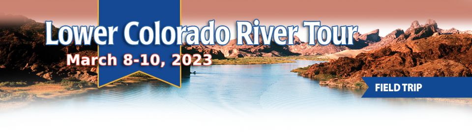
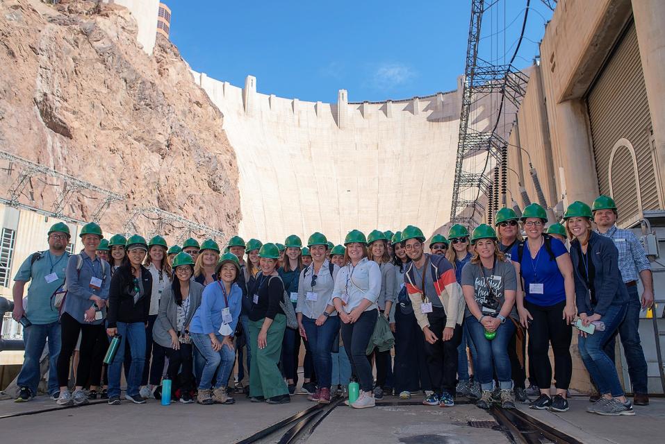
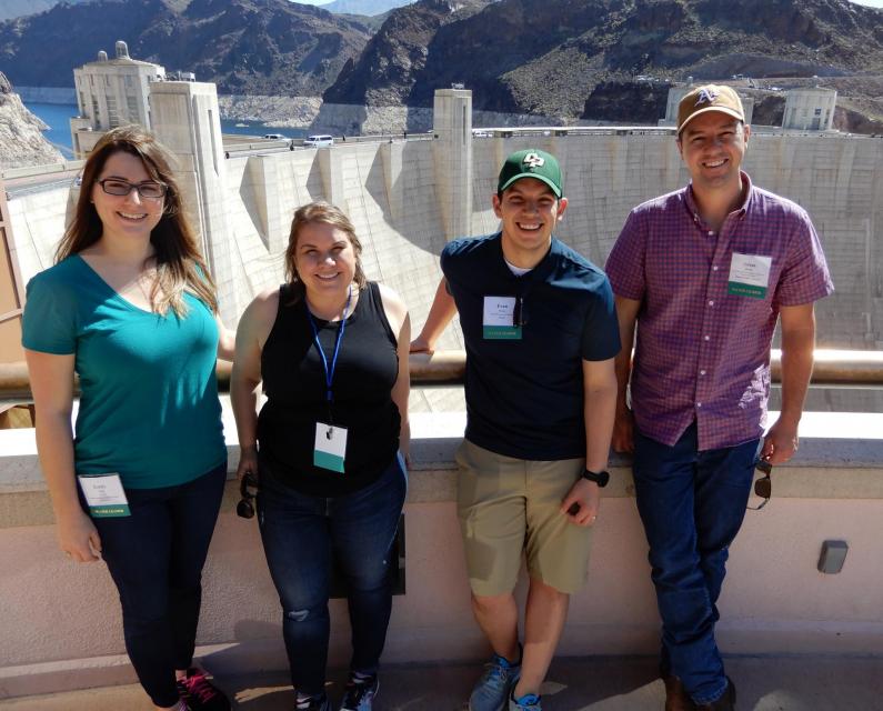
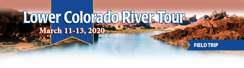
This tour explored the lower Colorado River firsthand where virtually every drop of the river is allocated, yet demand is growing from myriad sources — increasing population, declining habitat, drought and climate change.
The 1,450-mile river is a lifeline to some 40 million people in the Southwest across seven states, 30 tribal nations and Mexico. How the Lower Basin states – Arizona, California and Nevada – use and manage this water to meet agricultural, urban, environmental and industrial needs was the focus of this tour.
Hilton Garden Inn Las Vegas Strip South
7830 S Las Vegas Blvd
Las Vegas, NV 89123
Learn the history and challenges facing the West’s most dramatic
and developed river.
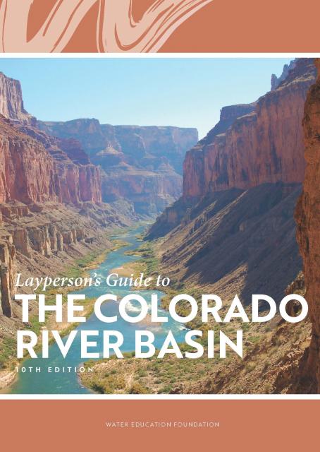
The Layperson’s Guide to the Colorado River Basin introduces the
1,450-mile river that sustains 40 million people and millions of
acres of farmland spanning seven states and parts of northern
Mexico.
The 28-page primer explains how the river’s water is shared and
managed as the Southwest transitions to a hotter and drier
climate.
State health officials know that extreme heat can cost lives
and send people to the hospital, just like wildfire smoke. Now,
new research finds that when people are exposed to both hazards
simultaneously — as is increasingly the case in California —
heart and respiratory crises outpace the expected sum of
hospitalizations compared to when the conditions occur
separately. … The study joins a growing body of research
about the intersection of different climate risks. Last month,
California-based think-tank the Pacific
Institute published a report about how converging
hazards — including wildfires, drought, flooding, sea level
rise and intensifying storms — are harming access to drinking
water and sanitation in California and other parts of the
world. The deadly 2018 Camp fire in Butte
County impacted an estimated 2,438 private wells, the
report said.
After more than two decades of
drought, water utilities serving the largest urban regions in the
arid Southwest are embracing a drought-proof source of drinking
water long considered a supply of last resort: purified sewage.
Water supplies have tightened to the point that Phoenix and the
water supplier for 19 million Southern California residents are
racing to adopt an expensive technology called “direct potable
reuse” or “advanced purification” to reduce their reliance on
imported water from the dwindling Colorado River.
The climate-driven shrinking of the
Colorado River is expanding the influence of Native American
tribes over how the river’s flows are divided among cities, farms
and reservations across the Southwest.
The tribes are seeing the value of their largely unused river
water entitlements rise as the Colorado dwindles, and they are
gaining seats they’ve never had at the water bargaining table as
government agencies try to redress a legacy of exclusion.
Every five years the California Department of Water Resources
updates its strategic plan for managing the state’s water
resources, as required by state law.
The California Water Plan, or Bulletin 160, projects the
status and trends of the state’s water supplies and demands
under a range of future scenarios.
A new but little-known change in
California law designating aquifers as “natural infrastructure”
promises to unleash a flood of public funding for projects that
increase the state’s supply of groundwater.
The change is buried in a sweeping state budget-related law,
enacted in July, that also makes it easier for property owners
and water managers to divert floodwater for storage underground.
The states of the Lower Colorado
River Basin have traditionally played an oversized role in
tapping the lifeline that supplies 40 million people in the West.
California, Nevada and Arizona were quicker to build major canals
and dams and negotiated a landmark deal that requires the Upper
Basin to send predictable flows through the Grand Canyon, even
during dry years.
But with the federal government threatening unprecedented water
cuts amid decades of drought and declining reservoirs, the Upper
Basin states of Wyoming, Utah, Colorado and New Mexico are
muscling up to protect their shares of an overallocated river
whose average flows in the Upper Basin have already dropped
20 percent over the last century.
They have formed new agencies to better monitor their interests,
moved influential Colorado River veterans into top negotiating
posts and improved their relationships with Native American
tribes that also hold substantial claims to the river.
This tour explored the lower Colorado River firsthand where virtually every drop of the river is allocated, yet demand is growing from myriad sources — increasing population, declining habitat, drought and climate change.
The 1,450-mile river is a lifeline to some 40 million people in the Southwest across seven states, 30 tribal nations and Mexico. How the Lower Basin states – Arizona, California and Nevada – use and manage this water to meet agricultural, urban, environmental and industrial needs was the focus of this tour.
Hilton Garden Inn Las Vegas Strip South
7830 S Las Vegas Blvd
Las Vegas, NV 89123
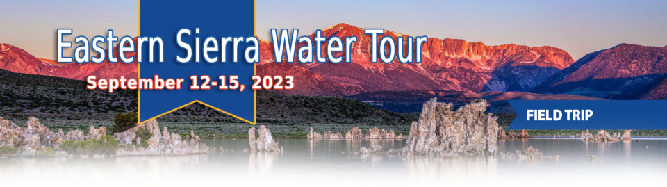
This special Foundation water tour journeyed along the Eastern Sierra from the Truckee River to Mono Lake, through the Owens Valley and into the Mojave Desert to explore a major source of water for Southern California, this year’s snowpack and challenges for towns, farms and the environment.
Growing up in the shadow of the
Rocky Mountains, Andrew Schwartz never missed an opportunity to
play in – or study – a Colorado snowstorm. During major
blizzards, he would traipse out into the icy wind and heavy
drifts of snow pretending to be a scientist researching in
Antarctica.
Decades later, still armed with an obsession for extreme weather,
Schwartz has landed in one of the snowiest places in the West,
leading a research lab whose mission is to give California water
managers instant information on the depth and quality of snow
draping the slopes of the Sierra Nevada.
When the Colorado River Compact was
signed 100 years ago, the negotiators for seven Western states
bet that the river they were dividing would have ample water to
meet everyone’s needs – even those not seated around the table.
A century later, it’s clear the water they bet on is not there.
More than two decades of drought, lake evaporation and overuse of
water have nearly drained the river’s two anchor reservoirs, Lake
Powell on the Arizona-Utah border and Lake Mead near Las Vegas.
Climate change is rendering the basin drier, shrinking spring
runoff that’s vital for river flows, farms, tribes and cities
across the basin – and essential for refilling reservoirs.
The states that endorsed the Colorado River Compact in 1922 – and
the tribes and nation of Mexico that were excluded from the table
– are now straining to find, and perhaps more importantly accept,
solutions on a river that may offer just half of the water that
the Compact assumed would be available. And not only are
solutions not coming easily, the relationships essential for
compromise are getting more frayed.
With 25 years of experience working
on the Colorado River, Chuck Cullom is used to responding to
myriad challenges that arise on the vital lifeline that seven
states, more than two dozen tribes and the country of Mexico
depend on for water. But this summer problems on the
drought-stressed river are piling up at a dizzying pace:
Reservoirs plummeting to record low levels, whether Hoover Dam
and Glen Canyon Dam can continue to release water and produce
hydropower, unprecedented water cuts and predatory smallmouth
bass threatening native fish species in the Grand Canyon.
“Holy buckets, Batman!,” said Cullom, executive director of the
Upper Colorado River Commission. “I mean, it’s just on and on and
on.”
Managers of California’s most
overdrawn aquifers were given a monumental task under the state’s
landmark Sustainable Groundwater Management Act: Craft viable,
detailed plans on a 20-year timeline to bring their beleaguered
basins into balance. It was a task that required more than 250
newly formed local groundwater agencies – many of them in the
drought-stressed San Joaquin Valley – to set up shop, gather
data, hear from the public and collaborate with neighbors on
multiple complex plans, often covering just portions of a
groundwater basin.
Momentum is building for a unique
interstate deal that aims to transform wastewater from Southern
California homes and business into relief for the stressed
Colorado River. The collaborative effort to add resiliency to a
river suffering from overuse, drought and climate change is being
shaped across state lines by some of the West’s largest water
agencies.
This tour explored the lower Colorado River firsthand where virtually every drop of the river is allocated, yet demand is growing from myriad sources — increasing population, declining habitat, drought and climate change.
The 1,450-mile river is a lifeline to some 40 million people in the Southwest across seven states, 30 tribal nations and Mexico. How the Lower Basin states – Arizona, California and Nevada – use and manage this water to meet agricultural, urban, environmental and industrial needs was the focus of this tour.
Hyatt Place Las Vegas At Silverton Village
8380 Dean Martin Drive
Las Vegas, NV 89139
Climate scientist Brad Udall calls
himself the skunk in the room when it comes to the Colorado
River. Armed with a deck of PowerPoint slides and charts that
highlight the Colorado River’s worsening math, the Colorado State
University scientist offers a grim assessment of the river’s
future: Runoff from the river’s headwaters is declining, less
water is flowing into Lake Powell – the key reservoir near the
Arizona-Utah border – and at the same time, more water is being
released from the reservoir than it can sustainably provide.
The lower Colorado River has virtually every drop allocated, yet demand is growing from myriad sources — increasing population, declining habitat, drought and climate change.
The 1,450-mile river is a lifeline to 40 million people in the Southwest across seven states, 30 tribal nations and Mexico. How the Lower Basin states – Arizona, California and Nevada – use and manage this water to meet agricultural, urban, environmental and industrial needs was the focus of this tour.
Hyatt Place Las Vegas At Silverton Village
8380 Dean Martin Drive
Las Vegas, NV 89139
For more than 20 years, Tanya
Trujillo has been immersed in the many challenges of the Colorado
River, the drought-stressed lifeline for 40 million people from
Denver to Los Angeles and the source of irrigation water for more
than 5 million acres of winter lettuce, supermarket melons and
other crops.
Trujillo has experience working in both the Upper and Lower
Basins of the Colorado River, basins that split the river’s water
evenly but are sometimes at odds with each other. She was a
lawyer for the state of New Mexico, one of four states in the
Upper Colorado River Basin, when key operating guidelines for
sharing shortages on the river were negotiated in 2007. She later
worked as executive director for the Colorado River Board of
California, exposing her to the different perspectives and
challenges facing California and the other states in the river’s
Lower Basin.
Land and waterway managers labored
hard over the course of a century to control California’s unruly
rivers by building dams and levees to slow and contain their
water. Now, farmers, environmentalists and agencies are undoing
some of that work as part of an accelerating campaign to restore
the state’s major floodplains.
Stretching 450 miles long and up to
50 miles wide, the Sierra Nevada makes up more than a quarter of
California’s land area and forms its largest watersheds,
providing more than half of the state’s developed water supply to
residents, agriculture and other businesses.*
Water is flowing once again
to the Colorado River’s delta in Mexico, a vast region that
was once a natural splendor before the iconic Western river was
dammed and diverted at the turn of the last century, essentially
turning the delta into a desert.
In 2012, the idea emerged that water could be intentionally sent
down the river to inundate the delta floodplain and regenerate
native cottonwood and willow trees, even in an overallocated
river system. Ultimately, dedicated flows of river water were
brokered under cooperative
efforts by the U.S. and Mexican governments.
This tour guided participants on a virtual journey deep into California’s most crucial water and ecological resource – the Sacramento-San Joaquin Delta. The 720,000-acre network of islands and canals support the state’s two major water systems – the State Water Project and the Central Valley Project. The Delta and the connecting San Francisco Bay form the largest freshwater tidal estuary of its kind on the West coast.
Las Vegas, known for its searing summertime heat and glitzy casino fountains, is projected to get even hotter in the coming years as climate change intensifies. As temperatures rise, possibly as much as 10 degrees by end of the century, according to some models, water demand for the desert community is expected to spike. That is not good news in a fast-growing region that depends largely on a limited supply of water from an already drought-stressed Colorado River.
On average, more than 60 percent of
California’s developed water supply originates in the Sierra
Nevada and the southern spur of the Cascade Range. Our water
supply is largely dependent on the health of our Sierra forests,
which are suffering from ecosystem degradation, drought,
wildfires and widespread tree mortality.
This tour ventured into the Sierra to examine water issues
that happen upstream but have dramatic impacts downstream and
throughout the state.
As California’s seasons become
warmer and drier, state officials are pondering whether the water
rights permitting system needs revising to better reflect the
reality of climate change’s effect on the timing and volume of
the state’s water supply.
A report by the State Water Resources Control Board recommends
that new water rights permits be tailored to California’s
increasingly volatile hydrology and be adaptable enough to ensure
water exists to meet an applicant’s demand. And it warns
that the increasingly whiplash nature of California’s changing
climate could require existing rights holders to curtail
diversions more often and in more watersheds — or open
opportunities to grab more water in climate-induced floods.
Twenty years ago, the Colorado River
Basin’s hydrology began tumbling into a historically bad stretch.
The weather turned persistently dry. Water levels in the system’s
anchor reservoirs of Lake Powell and Lake Mead plummeted. A river
system relied upon by nearly 40 million people, farms and
ecosystems across the West was in trouble. And there was no guide
on how to respond.
Radically transformed from its ancient origin as a vast tidal-influenced freshwater marsh, the Sacramento-San Joaquin Delta ecosystem is in constant flux, influenced by factors within the estuary itself and the massive watersheds that drain though it into the Pacific Ocean.
Lately, however, scientists say the rate of change has kicked into overdrive, fueled in part by climate change, and is limiting the ability of science and Delta water managers to keep up. The rapid pace of upheaval demands a new way of conducting science and managing water in the troubled estuary.
Practically every drop of water that flows through the meadows, canyons and plains of the Colorado River Basin has reams of science attached to it. Snowpack, streamflow and tree ring data all influence the crucial decisions that guide water management of the iconic Western river every day.
Dizzying in its scope, detail and complexity, the scientific information on the Basin’s climate and hydrology has been largely scattered in hundreds of studies and reports. Some studies may conflict with others, or at least appear to. That’s problematic for a river that’s a lifeline for 40 million people and more than 4 million acres of irrigated farmland.
Sprawled across a desert expanse
along the Utah-Arizona border, Lake Powell’s nearly 100-foot high
bathtub ring etched on its sandstone walls belie the challenges
of a major Colorado River reservoir at less than half-full. How
those challenges play out as demand grows for the river’s water
amid a changing climate is fueling simmering questions about
Powell’s future.
This event explored the lower Colorado River where virtually every drop of the river is allocated, yet demand is growing from myriad sources — increasing population, declining habitat, drought and climate change.
The 1,450-mile river is a lifeline to 40 million people in the Southwest across seven states and Mexico. How the Lower Basin states – Arizona, California and Nevada – use and manage this water to meet agricultural, urban, environmental and industrial needs was the focus of this tour.
The islands of the western
Sacramento-San Joaquin Delta are sinking as the rich peat soil
that attracted generations of farmers dries out and decays. As
the peat decomposes, it releases tons of carbon dioxide – a
greenhouse gas – into the atmosphere. As the islands sink, the
levees that protect them are at increasing risk of failure, which
could imperil California’s vital water conveyance system.
An ambitious plan now in the works could halt the decay,
sequester the carbon and potentially reverse the sinking.
Shortly after taking office in 2019,
Gov. Gavin Newsom called on state agencies to deliver a Water
Resilience Portfolio to meet California’s urgent challenges —
unsafe drinking water, flood and drought risks from a changing
climate, severely depleted groundwater aquifers and native fish
populations threatened with extinction.
Within days, he appointed Nancy Vogel, a former journalist and
veteran water communicator, as director of the Governor’s Water
Portfolio Program to help shepherd the monumental task of
compiling all the information necessary for the portfolio. The
three state agencies tasked with preparing the document delivered
the draft Water Resilience Portfolio Jan. 3. The document, which
Vogel said will help guide policy and investment decisions
related to water resilience, is nearing the end of its comment
period, which goes through Friday, Feb. 7.
The Colorado River is arguably one
of the hardest working rivers on the planet, supplying water to
40 million people and a large agricultural economy in the West.
But it’s under duress from two decades of drought and decisions
made about its management will have exceptional ramifications for
the future, especially as impacts from climate change are felt.
Many of California’s watersheds are
notoriously flashy – swerving from below-average flows to jarring
flood conditions in quick order. The state needs all the water it
can get from storms, but current flood management guidelines are
strict and unyielding, requiring reservoirs to dump water each
winter to make space for flood flows that may not come.
However, new tools and operating methods are emerging that could
lead the way to a redefined system that improves both water
supply and flood protection capabilities.
It’s been a year since two devastating wildfires on opposite ends
of California underscored the harsh new realities facing water
districts and cities serving communities in or adjacent to the
state’s fire-prone wildlands. Fire doesn’t just level homes, it
can contaminate water, scorch watersheds, damage delivery systems
and upend an agency’s finances.
California is chock full of rivers and creeks, yet the state’s network of stream gauges has significant gaps that limit real-time tracking of how much water is flowing downstream, information that is vital for flood protection, forecasting water supplies and knowing what the future might bring.
That network of stream gauges got a big boost Sept. 30 with the signing of SB 19. Authored by Sen. Bill Dodd (D-Napa), the law requires the state to develop a stream gauge deployment plan, focusing on reactivating existing gauges that have been offline for lack of funding and other reasons. Nearly half of California’s stream gauges are dormant.
The Colorado River Basin’s 20 years
of drought and the dramatic decline in water levels at the
river’s key reservoirs have pressed water managers to adapt to
challenging conditions. But even more extreme — albeit rare —
droughts or floods that could overwhelm water managers may lie
ahead in the Basin as the effects of climate change take hold,
say a group of scientists. They argue that stakeholders who are
preparing to rewrite the operating rules of the river should plan
now for how to handle these so-called “black swan” events so
they’re not blindsided.
The majestic beauty of the Sierra
Nevada forest is awe-inspiring, but beneath the dazzling blue
sky, there is a problem: A century of fire suppression and
logging practices have left trees too close together. Millions of
trees have died, stricken by drought and beetle infestation.
Combined with a forest floor cluttered with dry brush and debris,
it’s a wildfire waiting to happen.
Fires devastate the Sierra watersheds upon which millions of
Californians depend — scorching the ground, unleashing a
battering ram of debris and turning hillsides into gelatinous,
stream-choking mudflows.
Even as stakeholders in the Colorado River Basin celebrate the recent completion of an unprecedented drought plan intended to stave off a crashing Lake Mead, there is little time to rest. An even larger hurdle lies ahead as they prepare to hammer out the next set of rules that could vastly reshape the river’s future.
Set to expire in 2026, the current guidelines for water deliveries and shortage sharing, launched in 2007 amid a multiyear drought, were designed to prevent disputes that could provoke conflict.
One of California Gov. Gavin
Newsom’s first actions after taking office was to appoint Wade
Crowfoot as Natural Resources Agency secretary. Then, within
weeks, the governor laid out an ambitious water agenda that
Crowfoot, 45, is now charged with executing.
That agenda includes the governor’s desire for a “fresh approach”
on water, scaling back the conveyance plan in the Sacramento-San
Joaquin Delta and calling for more water recycling, expanded
floodplains in the Central Valley and more groundwater recharge.
This tour explored the lower Colorado River where virtually every drop of the river is allocated, yet demand is growing from myriad sources — increasing population, declining habitat, drought and climate change.
The 1,450-mile river is a lifeline to 40 million people in the Southwest across seven states and Mexico. How the Lower Basin states – Arizona, California and Nevada – use and manage this water to meet agricultural, urban, environmental and industrial needs is the focus of this tour.
Silverton Hotel
3333 Blue Diamond Road
Las Vegas, NV 89139
Although Santa Monica may be the most aggressive Southern California water provider to wean itself from imported supplies, it is hardly the only one looking to remake its water portfolio.
In Los Angeles, a city of about 4 million people, efforts are underway to dramatically slash purchases of imported water while boosting the amount from recycling, stormwater capture, groundwater cleanup and conservation. Mayor Eric Garcetti in 2014 announced a plan to reduce the city’s purchase of imported water from Metropolitan Water District by one-half by 2025 and to provide one-half of the city’s supply from local sources by 2035. (The city considers its Eastern Sierra supplies as imported water.)
Imported water from the Sierra
Nevada and the Colorado River built Southern California. Yet as
drought, climate change and environmental concerns render those
supplies increasingly at risk, the Southland’s cities have ramped
up their efforts to rely more on local sources and less on
imported water.
Far and away the most ambitious goal has been set by the city of
Santa Monica, which in 2014 embarked on a course to be virtually
water independent through local sources by 2023. In the 1990s,
Santa Monica was completely dependent on imported water. Now, it
derives more than 70 percent of its water locally.
The growing leadership of women in water. The Colorado River’s persistent drought and efforts to sign off on a plan to avert worse shortfalls of water from the river. And in California’s Central Valley, promising solutions to vexing water resource challenges.
These were among the topics that Western Water news explored in 2018.
We’re already planning a full slate of stories for 2019. You can sign up here to be alerted when new stories are published. In the meantime, take a look at what we dove into in 2018:
As stakeholders labor to nail down
effective and durable drought contingency plans for the Colorado
River Basin, they face a stark reality: Scientific research is
increasingly pointing to even drier, more challenging times
ahead.
The latest sobering assessment landed the day after Thanksgiving,
when U.S. Global Change Research Program’s Fourth National Climate
Assessment concluded that Earth’s climate is changing rapidly
compared to the pace of natural variations that have occurred
throughout its history, with greenhouse gas emissions largely the
cause.
In the universe of California water, Tim Quinn is a professor emeritus. Quinn has seen — and been a key player in — a lot of major California water issues since he began his water career 40 years ago as a young economist with the Rand Corporation, then later as deputy general manager with the Metropolitan Water District of Southern California, and finally as executive director of the Association of California Water Agencies. In December, the 66-year-old will retire from ACWA.
Just because El Niño may be lurking
off in the tropical Pacific, does that really offer much of a
clue about what kind of rainy season California can expect in
Water Year 2019?
Will a river of storms pound the state, swelling streams and
packing the mountains with deep layers of heavy snow much like
the exceptionally wet 2017 Water Year (Oct. 1, 2016 to Sept. 30,
2017)? Or will this winter sputter along like last winter,
leaving California with a second dry year and the possibility of
another potential drought? What can reliably be said about the
prospects for Water Year 2019?
At Water Year
2019: Feast or Famine?, a one-day event on Dec. 5 in Irvine,
water managers and anyone else interested in this topic will
learn about what is and isn’t known about forecasting
California’s winter precipitation weeks to months ahead, the
skill of present forecasts and ongoing research to develop
predictive ability.
There’s going to be a new governor
in California next year – and a host of challenges both old and
new involving the state’s most vital natural resource, water.
So what should be the next governor’s water priorities?
That was one of the questions put to more than 150 participants
during a wrap-up session at the end of the Water Education
Foundation’s Sept. 20 Water Summit in Sacramento.
Amy Haas recently became the first non-engineer and the first woman to serve as executive director of the Upper Colorado River Commission in its 70-year history, putting her smack in the center of a host of daunting challenges facing the Upper Colorado River Basin.
Yet those challenges will be quite familiar to Haas, an attorney who for the past year has served as deputy director and general counsel of the commission. (She replaced longtime Executive Director Don Ostler). She has a long history of working within interstate Colorado River governance, including representing New Mexico as its Upper Colorado River commissioner and playing a central role in the negotiation of the recently signed U.S.-Mexico agreement known as Minute 323.
Sixty percent of California’s developed water supply
originates high in the Sierra Nevada mountains. Our water
supply is largely dependent on the health of our Sierra forests,
which are suffering from ecosystem degradation, drought,
wildfires and widespread tree mortality.
We headed into the foothills and the mountains to examine
water issues that happen upstream but have dramatic impacts
downstream and throughout the state.
GEI (Tour Starting Point)
2868 Prospect Park Dr.
Rancho Cordova, CA 95670.
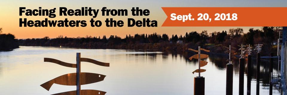
Our annual Water Summit, being held Sept. 20, will
feature critical conversations about water in California and
the West revolving around the theme: Facing
Reality from the Headwaters to the
Delta.
As debate continues to swirl around longer-term remedies for
California’s water challenges, the theme reflects the need for
straightforward dialogue about more immediate, on-the-ground
solutions.
Nowhere is the domino effect in
Western water policy played out more than on the Colorado River,
and specifically when it involves the Lower Basin states of
California, Nevada and Arizona. We are seeing that play out now
as the three states strive to forge a Drought Contingency Plan.
Yet that plan can’t be finalized until Arizona finds a unifying
voice between its major water players, an effort you can read
more about in the latest in-depth article of Western Water.
Even then, there are some issues to resolve just within
California.
Brenda Burman, commissioner of the
U.S. Bureau of Reclamation, will give the keynote lunch address
at our 35th annual conference, the Water
Summit, to be held Sept. 20 in Sacramento.
The daylong event will feature critical conversations about water
in California and the West revolving around the
theme: Facing Reality from the Headwaters to the
Delta.
We explored the lower Colorado River where virtually every drop
of the river is allocated, yet demand is growing from myriad
sources — increasing population, declining habitat, drought and
climate change.
The 1,450-mile river is a lifeline to 40 million people in
the Southwest across seven states and Mexico. How the Lower Basin
states – Arizona, California and Nevada – use and manage this
water to meet agricultural, urban, environmental and industrial
needs was the focus of this tour.
Hampton Inn Tropicana
4975 Dean Martin Drive, Las Vegas, NV 89118
Learn what new tree-ring studies in
Southern California watersheds reveal about drought, hear about
efforts to improve subseasonal to seasonal weather forecasting
and get the latest on climate change impacts that will alter
drought vulnerability in the future.
At our Paleo
Drought Workshop on April 19th in San Pedro, you will hear
from experts at NASA Jet Propulsion Laboratory, University of
Arizona and California Department of Water Resources.
Dramatic swings in weather patterns
over the past few years in California are stark reminders of
climate variability and regional vulnerability. Alternating years
of drought and intense rain events make long-term planning for
storing and distributing water a challenging task.
Current weather forecasting capabilities provide details for
short time horizons. Attend the Paleo Drought
Workshop in San Pedro on April 19 to learn more about
research efforts to improve sub-seasonal to seasonal
precipitation forecasting, known as S2S, and how those models
could provide more useful weather scenarios for resource
managers.
California’s 2012-2016 drought
revealed vulnerabilities for water users throughout the state,
and the long-term record suggests more challenges may lie ahead.
An April 19
workshop in San Pedro will highlight new information about
drought durations in Southern California watersheds dating
back centuries.
Every day, people flock to Daniel
Swain’s social media platforms to find out the latest news and
insight about California’s notoriously unpredictable weather.
Swain, a climate scientist at the Institute of the
Environment and Sustainability at UCLA, famously coined the
term “Ridiculously Resilient Ridge” in December 2013 to describe
the large, formidable high-pressure mass that was parked over the
West Coast during winter and diverted storms away from
California, intensifying the drought.
Swain’s research focuses on atmospheric processes that cause
droughts and floods, along with the changing character of extreme
weather events in a warming world. A lifelong Californian and
alumnus of University of California, Davis, and Stanford
University, Swain is best known for the widely read Weather West blog, which provides
unique perspectives on weather and climate in California and the
western United States. In a recent interview with Western
Water, he talked about the Ridiculously Resilient Ridge, its
potential long-term impact on California weather, and what may
lie ahead for the state’s water supply.
Sixty percent of California’s developed water supply
originates high in the Sierra Nevada mountains. Our water
supply is largely dependent on the health of our Sierra forests,
which are suffering from ecosystem degradation, drought,
wildfires and widespread tree mortality.
This three-day, two-night tour explored the lower Colorado River
where virtually every drop of the river is allocated, yet demand
is growing from myriad sources — increasing population,
declining habitat, drought and climate change.
The 1,450-mile river is a lifeline to 40 million people in
the Southwest across seven states and Mexico. How the Lower Basin
states – Arizona, California and Nevada – use and manage this
water to meet agricultural, urban, environmental and industrial
needs is the focus of this tour.
Best Western McCarran Inn
4970 Paradise Road
Las Vegas, NV 89119
Evidence shows that climate change is affecting California with
warmer temperatures, less snowfall and more extreme weather
events. This guide explains the causes of climate change, the
effects on water resources and efforts underway to better adapt
to a changing climate. It includes information on both California
water and the water of the Colorado River Basin, a widely shared
resource throughout the Southwest.
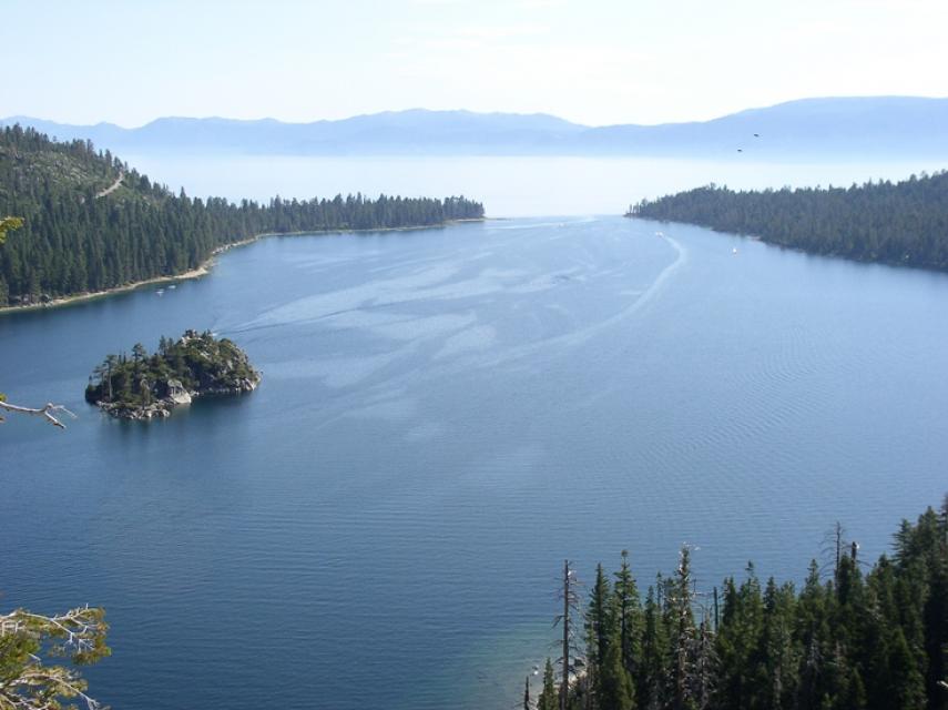
Lake Tahoe is one of the world’s most beautiful yet vulnerable
lakes. Renowned for its remarkable clarity, Tahoe straddles the
Nevada-California border, stretching 22 miles long and 12 miles
wide in a granitic bowl high in the Sierra Nevada.
Tahoe sits 6,225 feet above sea level. Its deepest point is 1,645
feet, making it the second-deepest lake in the nation, after
Oregon’s Crater Lake, and the tenth deepest in the world.
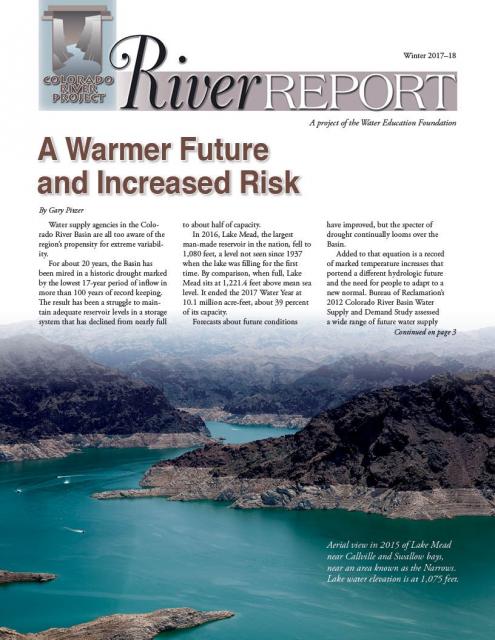
Drought and climate change are having a noticeable impact on the
Colorado River Basin, and that is posing potential challenges to
those in the Southwestern United States and Mexico who rely on
the river.
In the just-released Winter 2017-18 edition of River
Report, writer Gary Pitzer examines what scientists
project will be the impact of climate change on the Colorado
River Basin, and how water managers are preparing for a future of
increasing scarcity.
Rising temperatures from climate change are having a noticeable
effect on how much water is flowing down the Colorado River. Read
the latest River Report to learn more about what’s
happening, and how water managers are responding.
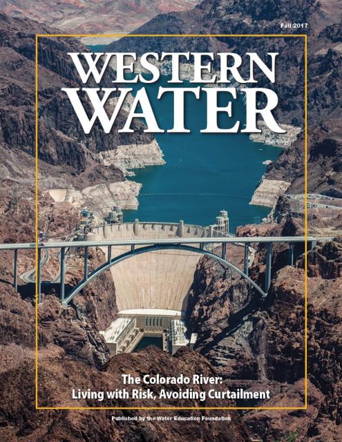
This issue of Western Water discusses the challenges
facing the Colorado River Basin resulting from persistent
drought, climate change and an overallocated river, and how water
managers and others are trying to face the future.
The atmospheric condition at any given time or place, measured by
wind, temperature, humidity, atmospheric pressure, cloudiness and
precipitation. Weather changes from hour to hour, day to day, and
season to season. Climate in a narrow sense is usually defined as
the average weather, during a period of time ranging from months
to thousands or millions of years.
Variations in the statistical analysis of the climate on all time
and space scales beyond that of individual weather events is
known as natural variability. Natural variations in climate over
time are caused by internal processes of the climate system, such
as El Niño, and
phenomena such as volcanic activity and variations in the output
of the sun.
California agriculture is going to have to learn to live with the
impacts of climate change and work toward reducing its
contributions of greenhouse gas emissions, a Yolo County walnut
grower said at the Jan. 26 California Climate Change Symposium in
Sacramento.
“I don’t believe we are going to be able to adapt our way out of
climate change,” said Russ Lester, co-owner of Dixon Ridge Farms
in Winters. “We need to mitigate for it. It won’t solve the
problem but it can slow it down.”
California had its warmest winter on record in 2014-2015, with
the average Sierra Nevada temperature hovering above 32 degrees
Fahrenheit – the highest in 120 years. Thus, where California
relies on snow to fall in the mountains and create a snowpack
that can slowly melt into reservoirs, it was instead raining.
That left the state’s snowpack at its lowest ever – 5 percent on
April 1, 2015.
Because he relays stats like these, climate scientist Brad Udall
says he doesn’t often get invited back to speak before the same
audience about climate change.
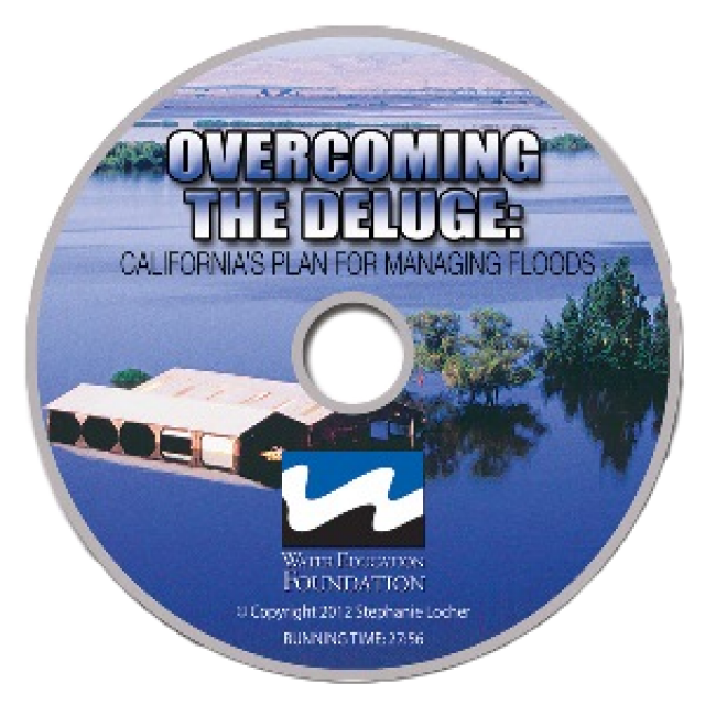
This 30-minute documentary, produced in 2011, explores the past,
present and future of flood management in California’s Central
Valley. It features stories from residents who have experienced
the devastating effects of a California flood firsthand.
Interviews with long-time Central Valley water experts from
California Department of Water Resources (FloodSAFE), U.S. Army
Corps of Engineers, Bureau of Reclamation, Central Valley Flood
Management Program and environmental groups are featured as they
discuss current efforts to improve the state’s 150-year old flood
protection system and develop a sustainable, integrated, holistic
flood management plan for the Central Valley.
This 25-minute documentary-style DVD, developed in partnership
with the California Department of Water Resources, provides an
excellent overview of climate change and how it is already
affecting California. The DVD also explains what scientists
anticipate in the future related to sea level rise and
precipitation/runoff changes and explores the efforts that are
underway to plan and adapt to climate.
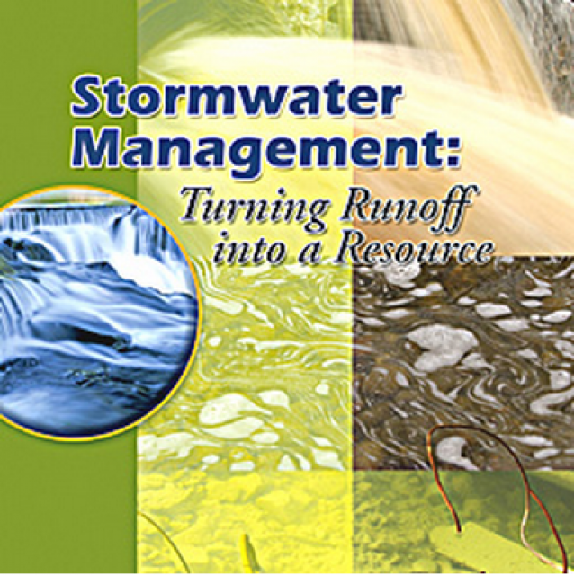
20-minute DVD that explains the problem with polluted stormwater,
and steps that can be taken to help prevent such pollution and
turn what is often viewed as a “nuisance” into a water resource
through various activities.
Water truly has shaped California into the great state it is
today. And if it is water that made California great, it’s the
fight over – and with – water that also makes it so critically
important. In efforts to remap California’s circulatory system,
there have been some critical events that had a profound impact
on California’s water history. These turning points not only
forced a re-evaluation of water, but continue to impact the lives
of every Californian. This 2005 PBS documentary offers a
historical and current look at the major water issues that shaped
the state we know today. Includes a 12-page viewer’s guide with
background information, historic timeline and a teacher’s lesson.
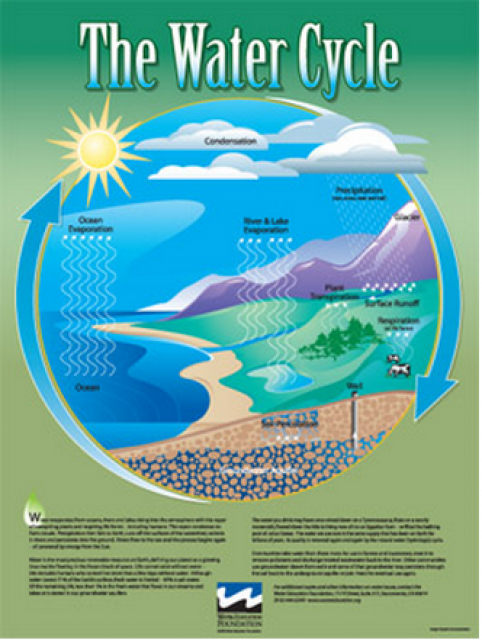
Water as a renewable resource is depicted in this 18×24 inch
poster. Water is renewed again and again by the natural
hydrologic cycle where water evaporates, transpires from plants,
rises to form clouds, and returns to the earth as precipitation.
Excellent for elementary school classroom use.
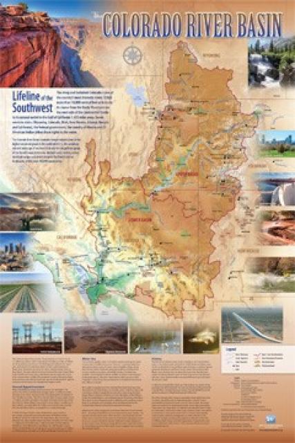
Redesigned in 2017, this beautiful map depicts the seven
Western states that share the Colorado River with Mexico. The
Colorado River supplies water to nearly 40 million people in
Arizona, California, Colorado, Nevada, New Mexico, Utah, Wyoming
and Mexico. Text on this beautiful, 24×36-inch map, which is
suitable for framing, explains the river’s apportionment, history
and the need to adapt its management for urban growth and
expected climate change impacts.
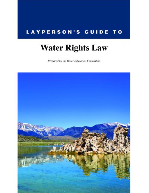
The 28-page Layperson’s Guide to Water Rights Law, recognized as
the most thorough explanation of California water rights law
available to non-lawyers, traces the authority for water flowing
in a stream or reservoir, from a faucet or into an irrigation
ditch through the complex web of California water rights.
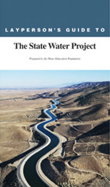
The 24-page Layperson’s Guide to the State Water Project provides
an overview of the California-funded and constructed State Water
Project.
The State Water Project is best known for the 444-mile-long
aqueduct that provides water from the Delta to San Joaquin Valley
agriculture and southern California cities. The guide contains
information about the project’s history and facilities.
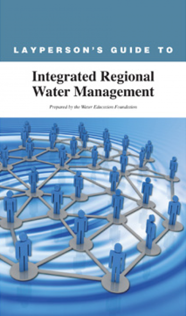
The 24-page Layperson’s Guide to Integrated Regional Water
Management (IRWM) is an in-depth, easy-to-understand publication
that provides background information on the principles of IRWM,
its funding history and how it differs from the traditional water
management approach.
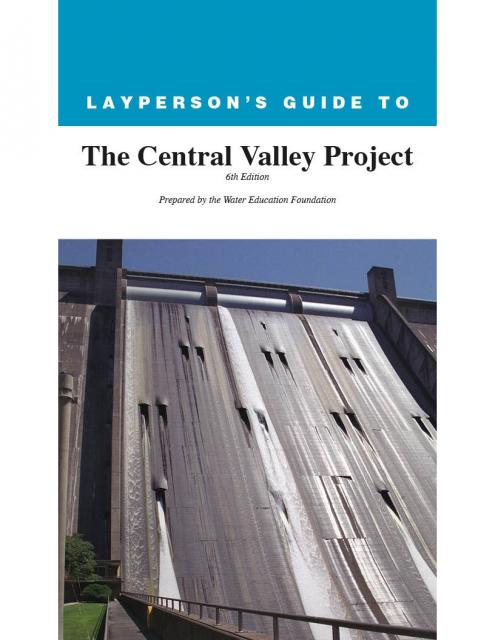
The 24-page Layperson’s Guide to the Central Valley Project
explores the history and development of the federal Central
Valley Project (CVP), California’s largest surface water delivery
system. In addition to the project’s history, the guide describes
the various facilities, operations and benefits the water
project brings to the state along with the CVP
Improvement Act (CVPIA).
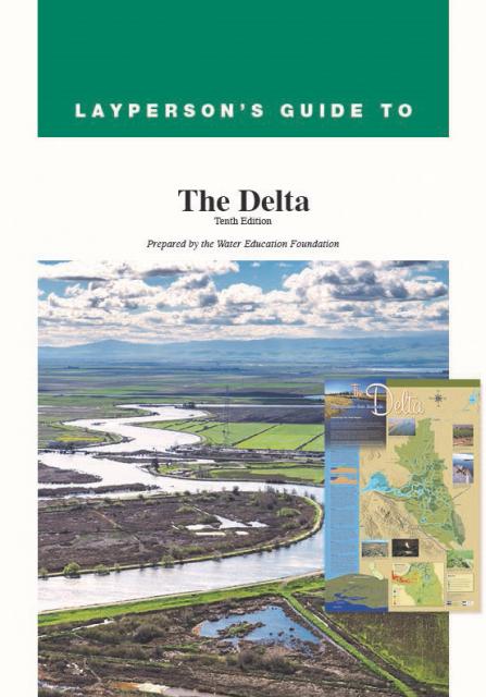
The 24-page Layperson’s Guide to the Delta explores the competing
uses and demands on California’s Sacramento-San Joaquin Delta.
Included in the guide are sections on the history of the Delta,
its role in the state’s water system, and its many complex issues
with sections on water quality, levees, salinity and agricultural
drainage, fish and wildlife, and water distribution.
Climate change involves natural and man-made changes to weather
patterns that occur over millions of years or over multiple
decades.
In the past 150 years, human industrial activity has accelerated
the rate of change in the climate due to the increase in
greenhouse gases (carbon dioxide, methane and nitrous oxide,
among others). Scientific studies describing this climate change
continue to be produced and its expected impacts continue to be
assessed.
This printed issue of Western Water looks at California
groundwater and whether its sustainability can be assured by
local, regional and state management. For more background
information on groundwater please refer to the Foundation’s
Layperson’s Guide to Groundwater.
This printed issue of Western Water This issue of Western Water
looks at climate change through the lens of some of the latest
scientific research and responses from experts regarding
mitigation and adaptation.
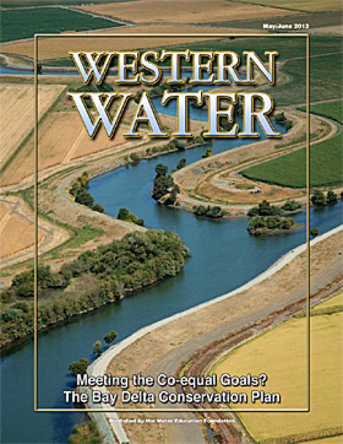
This issue of Western Water looks at the BDCP and the
Coalition to Support Delta Projects, issues that are aimed at
improving the health and safety of the Delta while solidifying
California’s long-term water supply reliability.
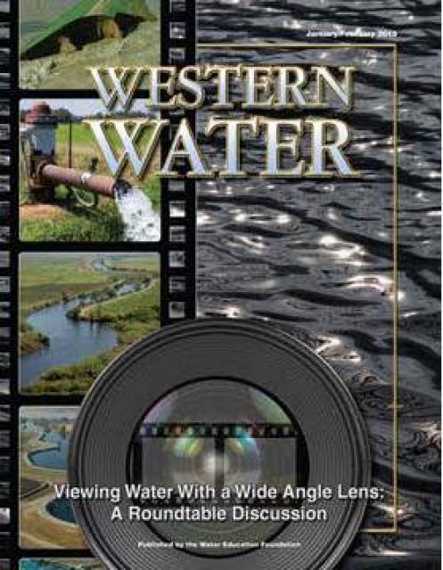
This printed issue of Western Water features a
roundtable discussion with Anthony Saracino, a water resources
consultant; Martha Davis, executive manager of policy development
with the Inland Empire Utilities Agency and senior policy advisor
to the Delta Stewardship Council; Stuart Leavenworth, editorial
page editor of The Sacramento Bee and Ellen Hanak, co-director of
research and senior fellow at the Public Policy Institute of
California.
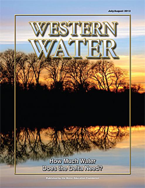
This printed issue of Western Water examines the issues
associated with the State Water Board’s proposed revision of the
water quality Bay-Delta Plan, most notably the question of
whether additional flows are needed for the system, and how they
might be provided.
This printed issue of Western Water explores the
historic nature of some of the key agreements in recent years,
future challenges, and what leading state representatives
identify as potential “worst-case scenarios.” Much of the content
for this issue of Western Water came from the in-depth
panel discussions at the Colorado River Symposium. The Foundation
will publish the full proceedings of the Symposium in 2012.
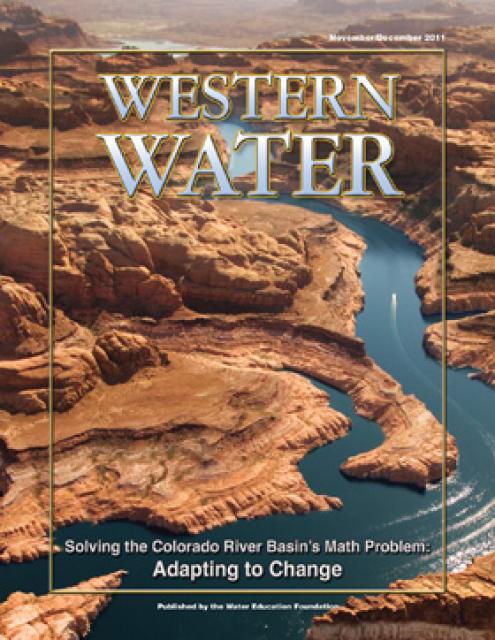
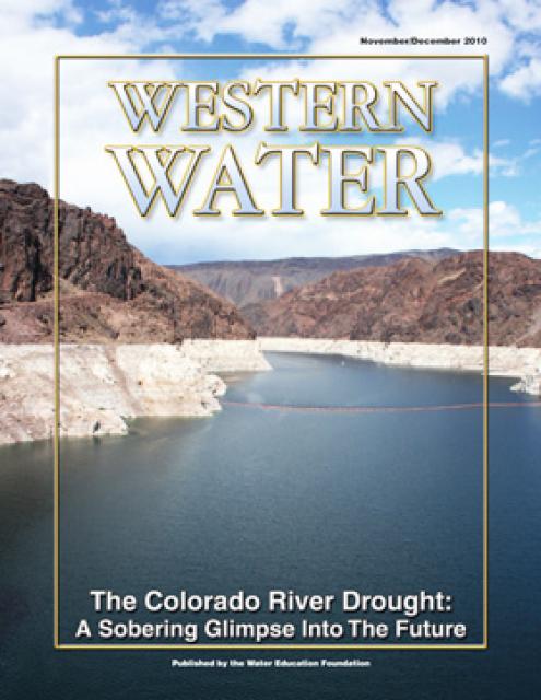
This printed issue of Western Water examines the
Colorado River drought, and the ongoing institutional and
operational changes underway to maintain the system and meet the
future challenges in the Colorado River Basin.
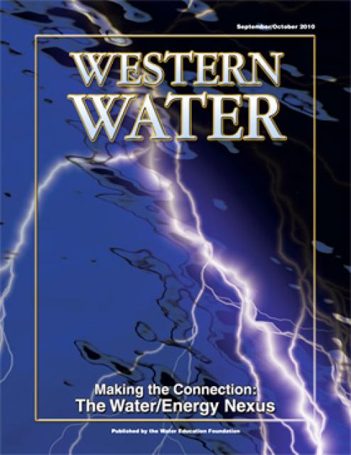
This printed issue of Western Water looks at the energy
requirements associated with water use and the means by which
state and local agencies are working to increase their knowledge
and improve the management of both resources.
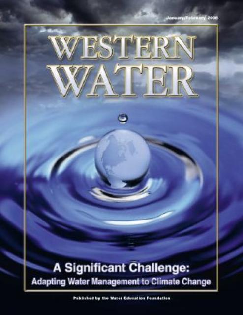
This printed copy of Western Water examines climate change –
what’s known about it, the remaining uncertainty and what steps
water agencies are talking to prepare for its impact. Much of the
information comes from the October 2007 California Climate Change
and Water Adaptation Summit sponsored by the Water Education
Foundation and DWR and the November 2007 California Water Policy
Conference sponsored by Public Officials for Water and
Environmental Reform.
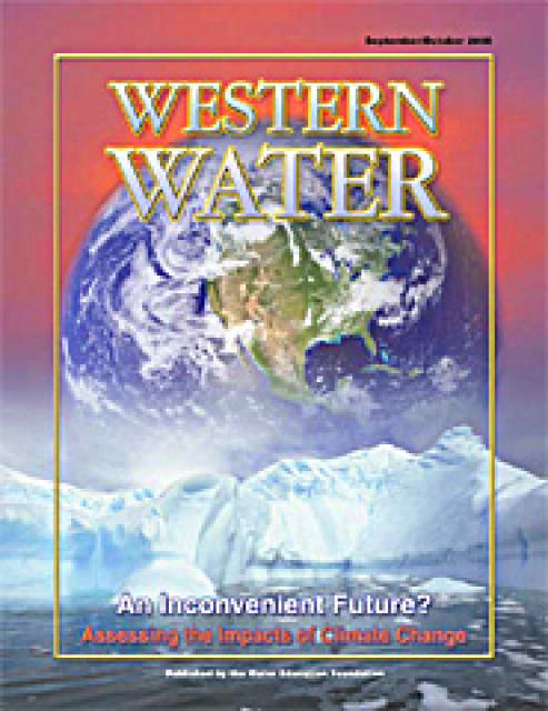
Perhaps no other issue has rocketed to prominence in such a short
time as climate change. A decade ago, discussion about greenhouse
gas (GHG) emissions and the connection to warming temperatures
was but a fraction of the attention now given to the issue. From
the United Nations to local communities, people are talking about
climate change – its characteristics and what steps need to be
taken to mitigate and adapt to the anticipated impacts.
This issue of Western Water looks at climate change and
its implications on water management in a region that is wholly
dependent on steady, predictable wet seasons to recharge supplies
for the lengthy dry periods. To what degree has climate change
occurred and what are the scenarios under which impacts will have
to be considered by water providers? The future is anything but
clear.
The inimitable Yogi Berra once proclaimed, “The future ain’t what
it used to be.” While the Hall of Fame baseball player was not
referring to the weather, his words are no less prophetic when it
comes to the discussion of a changing climate and its potential
impacts on water resources in the West.


 and other tributaries of the upper Colorado River have declined dramatically and contributed to the precipitous declines of Lake Powell and Lake Mead. (Source: The Water Desk)")

")
")
")
")
")
")

")
")

")
")

")
")
")
")
")
")
")
")
")
")
 and temperature. This gauge near downtown Sacramento measures water depth. (Source: California Department of Water Resources)")
")
")
")
")
")
 treats dry weather urban runoff to remove pollutants such as sediment, oil, grease, and pathogens for nonpotable use. (Image: City of Santa Monica)")
: Karla Nemeth, director, California Department of Water Resources; Gloria Gray, chair, Metropolitan Water District of Southern California; Brenda Burman, Bureau of Reclamation Commissioner; Jayne Harkins, commissioner, International Boundary and Water Commission, U.S. and Mexico; Amy Haas, executive director, Upper Colorado River Commission.")
")
")
")
")