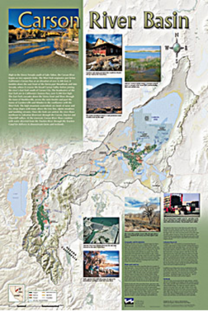
Carson River Basin Map
Published 2006
A companion to the Truckee River Basin Map poster, this 24×36-inch poster, suitable for framing, explores the Carson River, and its link to the Truckee River. The map includes the Lahontan Dam and reservoir, the Carson Sink, and the farming areas in the basin. Map text discusses the region’s hydrology and geography, the Newlands Project, land and water use within the basin and wetlands. Development of the map was funded by a grant from the U.S. Bureau of Reclamation Mid-Pacific Region, Lahontan Basin Area Office.
To order 10 or more copies at a discounted fee, contact the Foundation at 916/444-6240 for more information.


