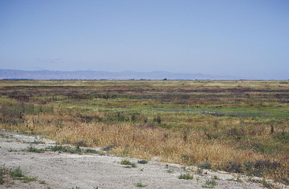
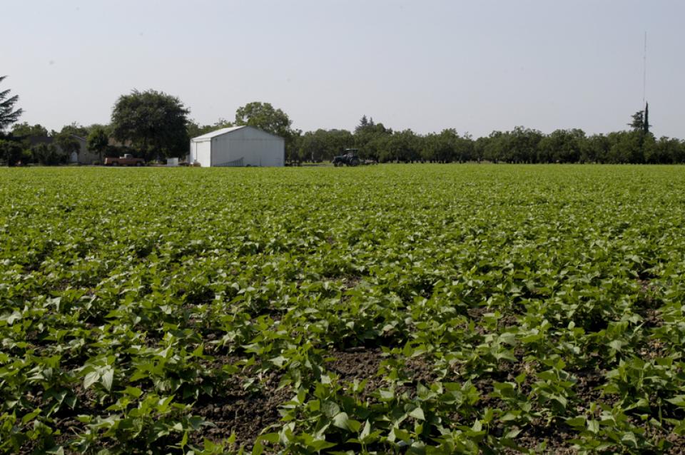
Lookout Slough, a 3,400-acre wetland on the edge of the
Sacramento-San Joaquin Delta in central California, is ringed
with aquatic plants, pulsing with tides from San Francisco Bay,
and home to dozens of species of fish, amphibians, reptiles and
birds. Until two years ago, it was parched former farmland, cut
off from the Sacramento River’s floodplain by a 26-foot-tall
levee. This transformation, the delta’s largest tidal
restoration project, was prompted by the decline of the Delta
smelt, a fish barely as long as an index finger. Adapted to the
delta’s brackish tides over thousands of years, the smelt is
considered a strong indicator of ecological
health. … The question now is whether
restoring wetlands like Lookout Slough can revive the Delta
smelt.
Tribes and environmental groups have registered their strong
opposition to a California water bill, AB 2215, that they say
would clear the path for controversial water projects,
including the embattled Delta Tunnel, without proper
regulatory and public oversight. AB 2215 would extend the
Department of Water Resources’ (DWR) water rights permit for
the State Water Project until 2046. Bill proponents claim that
it is a “critical response to climate change and ensuring
reliable water supplies,” but opponents say the very opposite
is true. The California Assembly approved the bill as amended
on May 27 with a vote of 59 to 1 and 20 no votes recorded. It
will be considered by the Senate Natural Resources and Water
Committee on Wednesday, July 1.
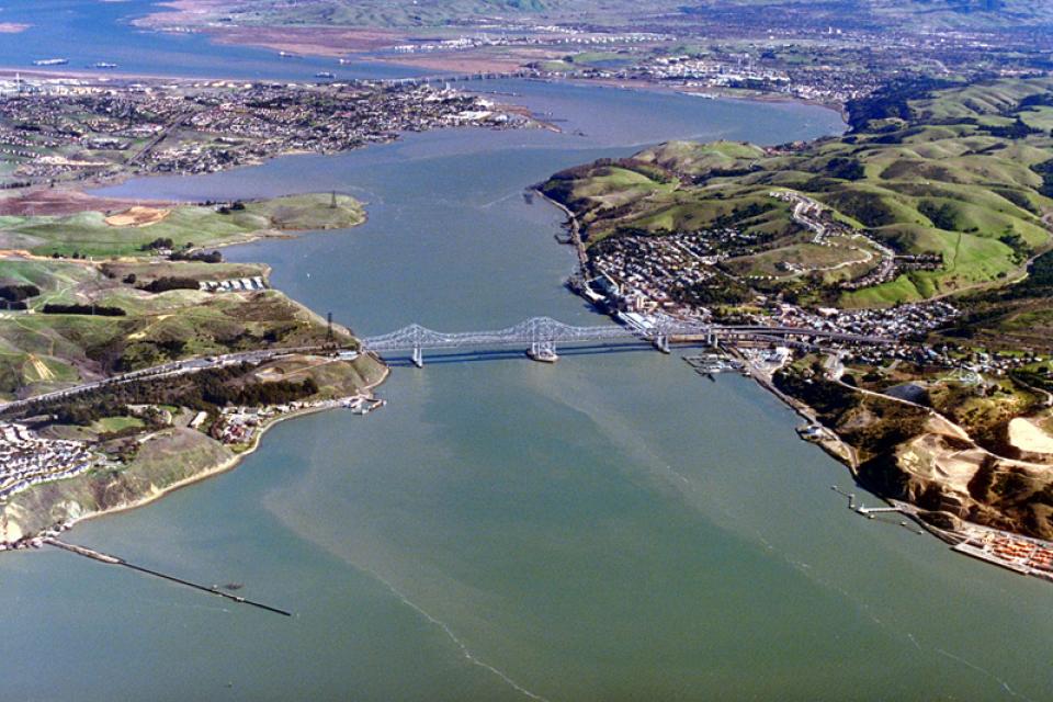
A few miles down the Sacramento River from the small town of
Rio Vista lies a 6.5-mile stretch of undeveloped riverbank that
California Forever calls “the perfect location” for the
nation’s largest shipyard. … Yet even while California
Forever has pushed to skip new environmental reviews, it has
offered few or shifting details on what the infrastructure will
be and how it might impact the Delta’s delicate biodiversity,
Bay Nature has found. … While ecologists and advocates say
the shipyard site itself has minimal ecological value, it lies
less than two miles from the restored Montezuma Wetlands, as
well as Suisun Marsh, one of the largest remaining intact
marshes on the West Coast. “Placing industry next to one of the
last wildest areas in the San Francisco area, hands down, it’s
just a bad idea,” says John Durand, an ecologist at UC Davis
who has surveyed the river’s biodiversity for years. But what
kind of bad idea, Durand notes, “all depends on the
details.”
It’s hard to envision the vibrant landscape that the Mormon
Slough could become if Restore the Delta’s community-focused
efforts finally bear fruit. The 6.5 mile slough is mostly dry
on its westerly trek from about two miles east of Highway 99
through central Stockton to the San Joaquin River. It
used to be a natural drainage channel for excess water from the
Calaveras River but was intentionally cut off in 1910 …. With
$1.2 million in funding from California Jobs First through
North Valley Thrive, Restore the Delta has held 70 community
meetings, knocked on 3,000 doors and done an analysis of
possibilities. … [Artie] Valencia (Flood and Land Restoration
Manager for Restore the Delta) said the Mormon Slough
project is a prime example of how a locally driven project can
advance both community needs and broader Delta conservation
goals, which is why Restore the Delta focused on building its
extensive partnerships.
The construction, though not the long-term operation, of a
proposed 45-mile extension to the State Water Project, backed
by Democratic Gov. Gavin Newsom, has received permission from
two key federal wildlife agencies. On Friday, the California
Department of Water Resources received permits known as
biological opinions from the U.S. Fish and Wildlife Service and
the National Marine Fisheries Service concluding that
construction can proceed under conditions designed to protect
endangered species and sensitive habitat. … The
opinion of the Fish and Wildlife Service orders builders to
take measures to avoid harming endangered or threatened
species.
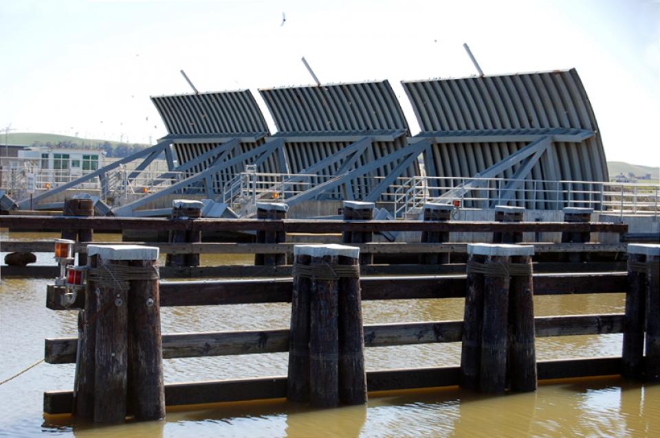
Boaters will have enhanced access between the Sacramento River
and the central Delta this weekend. The U.S. Bureau of
Reclamation announced it will open the Delta Cross Channel
Gates “to improve recreational boating access in the
Sacramento-San Joaquin Delta.” The gates are scheduled to
open at 10 a.m. Saturday (June 6), and will remain open through
10 a.m. Monday (June 8). … The Delta Cross Channel
facility is a gate-controlled diversion channel on the east
bank of the Sacramento River, about 30 miles downstream of
Sacramento. It facilitates the diversion of fresh water
from the Sacramento River into the interior Sacramento-San
Joaquin River Delta to the Central Valley Project and State
Water Project conveyance.
… The Water Renaissance Plan calls for a collective
commitment to developing local water supplies. It outlines
eight priority recommendations, from policy reforms to the
creation of new sources of funding, such as a general
obligation water bond focused on local water supplies. The
group, composed of a variety of nonprofit and advocacy
organizations, including the Sierra Club, claims that
sustainable technologies like stormwater capture, wastewater
recycling, and conservation could yield between 1.8 and 2
million acre-feet of local water supplied by 2045, at a lower
price tag than the delta tunnel. And local water is much more
reliable in the face of climate change. … Models predict at
least an 8 percent reduction in imported water supplies by
2050. … Can they convince lawmakers and state agencies that
have long favored engineered solutions?
Harmful algal blooms were rarely observed in the Sacramento-San
Joaquin Delta before 2000. Over the past two decades, they have
become a regular summer event, and scientists are racing to
understand why. DWR is co-leading a five-year, $3 million
research project funded by NOAA to investigate what is driving
the increase in harmful algal blooms across the Delta and San
Francisco Bay. The effort, called MERHAB, brings together
scientists from the U.S. Geological Survey, the San Francisco
Estuary Institute, UC Santa Cruz, Cal Poly Maritime Academy and
several regulatory agencies. … The research team is
using remote sensing technology, continuous monitoring
stations, laboratory analysis and community volunteers to track
where blooms form, how they move and what conditions trigger
them.
Tucked along the edge of the Sacramento-San Joaquin Delta, Big
Break Regional Shoreline offers visitors a rare glimpse into
one of California’s most endangered ecosystems at no
cost. The 1,600-acre park, which opened in 2012, sits at
the confluence of two major rivers where saltwater and
freshwater meet. Most of the park consists of submerged former
farmland. … [T]he park’s wetland habitat is its most
significant feature, as roughly 90 percent of similar
ecosystems in California have been lost to agricultural
development. The remaining landscape at Big Break supports a
variety of aquatic mammals, including river otters, beavers,
muskrat, and American mink, along with dozens of bird species.
… The Golden State Salmon Association is urging Californians
to contact their Assembly members and oppose AB 2215, a bill
designed to advance the proposed Delta Tunnel by bypassing the
normal water rights review process at the State Water Resources
Control Board. A California court recently ruled that the
Department of Water Resources does not currently hold the water
rights needed to divert additional water through the proposed
tunnel. Rather than going through the standard review process,
which includes public oversight and scientific evaluation, AB
2215 would attempt to change those expired 60-year-old water
rights through legislation.
The 24-page Layperson’s Guide to California Water provides an
excellent overview of the history of water development and use in
California. It includes the latest information on the state’s
changing hydrology, recent water conservation legislation and the
state’s efforts to stretch the available water supplies.
The 24-page Layperson’s Guide to the Delta explores the competing
uses and demands on California’s Sacramento-San Joaquin
Delta. The 11th edition examines this critical
water hub and its myriad challenges. The 2025 version
includes the latest information on the tunnel project, habitat
restoration efforts, climate change impacts and an updated
section on the legal and political facets of the Delta.
A new aquatic invader, the golden mussel, has penetrated California’s ecologically fragile Sacramento-San Joaquin Delta, the West Coast’s largest tidal estuary and the hub of the state’s vast water export system. While state officials say they’re working to keep this latest invasive species in check, they concede it may be a nearly impossible task: The golden mussel is in the Golden State to stay – and it is likely to spread.
It’s the most frustrating part of conservation. To save water,
you rip out your lawn, shorten your shower time, collect
rainwater for the flowers and stop washing the car. Your water
use plummets. And for all that trouble, your water supplier
raises your rates. Why? Because everyone is using so much less
that the agency is losing money. That’s the dynamic in
play with Southern California’s massive wholesaler, the
Metropolitan Water District, despite full reservoirs after two
of history’s wettest winters. … Should water users be
happy about these increases? The answer is a counterintuitive
“yes.” Costs would be higher and water scarcer in the future
without modest hikes now.
Partners have pulled together to support the recovery of
endangered Sacramento winter-run Chinook salmon in the last few
years. However, the species still faces threats from climate
change and other factors. That is the conclusion of an
Endangered Species Act review that NOAA Fisheries completed for
the native California species. It once returned in great
numbers to the tributaries of the Sacramento River and
supported local tribes. The review concluded that the species
remains endangered, and identified key recovery actions to help
the species survive climate change. While partners have taken
steps to protect winter-run Chinook salmon, blocked habitat,
altered flows, and higher temperatures continue to threaten
their survival.
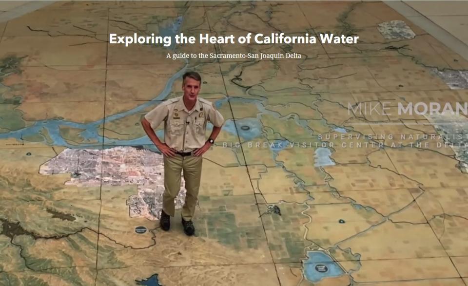
The Water Education Foundation has
unveiled an
interactive online tour of the Sacramento-San
Joaquin Delta that offers viewers and readers a broad overview of
the heart of California water – its history and development, its
importance as an ecological resource and water hub and the array
of challenges it faces.
Titled “Exploring the Heart of California Water,” the online
tour, built as a story map, guides readers and viewers through
different facets of the Delta. It includes the Delta’s history
and the people – including the Native American tribes – who have
lived there, the fish and wildlife that depend on its waters and
its role as a crossroads for federal, state and local water
projects.
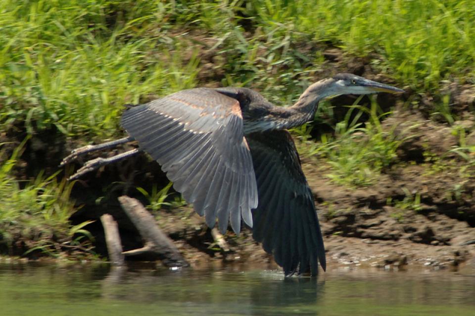
In the vast labyrinth of the West
Coast’s largest freshwater tidal estuary, one native fish species
has never been so rare. Once uncountably numerous, the Delta
smelt was placed on state and federal endangered species lists in
1993, stopped appearing in most annual sampling surveys in 2016,
and is now, for all practical purposes, extinct in the wild. At
least, it was.
When you oversee the largest
supplier of treated water in the United States, you tend to think
big.
Jeff Kightlinger, general manager of the Metropolitan Water
District of Southern California for the last 15 years, has
focused on diversifying his agency’s water supply and building
security through investment. That means looking beyond MWD’s
borders to ensure the reliable delivery of water to two-thirds of
California’s population.
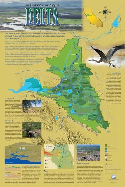
This beautifully illustrated 24×36-inch poster, suitable for
framing and display in any office or classroom, highlights the
Sacramento-San Joaquin River Delta, its place as a center of
farming, its importance as an ecological resource and its
vital role in California’s water supply system.
The text, photos and graphics explain issues related to land
subsidence, levees and flooding, urbanization, farming, fish and
wildlife protection. An inset map illustrates the tidal action
that increases the salinity of the Delta’s waterways.
Radically transformed from its ancient origin as a vast tidal-influenced freshwater marsh, the Sacramento-San Joaquin Delta ecosystem is in constant flux, influenced by factors within the estuary itself and the massive watersheds that drain though it into the Pacific Ocean.
Lately, however, scientists say the rate of change has kicked into overdrive, fueled in part by climate change, and is limiting the ability of science and Delta water managers to keep up. The rapid pace of upheaval demands a new way of conducting science and managing water in the troubled estuary.
Voluntary agreements in California
have been touted as an innovative and flexible way to improve
environmental conditions in the Sacramento-San Joaquin Delta
and the rivers that feed it. The goal is to provide river flows
and habitat for fish while still allowing enough water to be
diverted for farms and cities in a way that satisfies state
regulators.
Deep, throaty cadenced calls —
sounding like an off-key bassoon — echo over the grasslands,
farmers’ fields and wetlands starting in late September of each
year. They mark the annual return of sandhill cranes to the
Cosumnes River Preserve,
46,000 acres located 20 miles south of Sacramento on the edge of
the Sacramento-San Joaquin Delta.
Registration opens today for the
Water Education Foundation’s 36th annual Water
Summit, set for Oct. 30 in Sacramento. This year’s
theme, Water Year 2020: A Year of Reckoning,
reflects fast-approaching deadlines for the State Groundwater
Management Act as well as the pressing need for new approaches to
water management as California and the West weather intensified
flooding, fire and drought. To register for this can’t-miss
event, visit our Water Summit
event page.
Registration includes a full day of discussions by leading
stakeholders and policymakers on key issues, as well as coffee,
materials, gourmet lunch and an outdoor reception by the
Sacramento River that will offer the opportunity to network with
speakers and other attendees. The summit also features a silent
auction to benefit our Water Leaders program featuring
items up for bid such as kayaking trips, hotel stays and lunches
with key people in the water world.
Summer is a good time to take a
break, relax and enjoy some of the great beaches, waterways and
watersheds around California and the West. We hope you’re getting
a chance to do plenty of that this July.
But in the weekly sprint through work, it’s easy to miss
some interesting nuggets you might want to read. So while we’re
taking a publishing break to work on other water articles planned
for later this year, we want to help you catch up on
Western Water stories from the first half of this year
that you might have missed.
Our 36th annual
Water Summit,
happening Oct. 30 in Sacramento, will feature the theme “Water
Year 2020: A Year of Reckoning,” reflecting upcoming regulatory
deadlines and efforts to improve water management and policy in
the face of natural disasters.
The Summit will feature top policymakers and leading stakeholders
providing the latest information and a variety of viewpoints on
issues affecting water across California and the West.
One of California Gov. Gavin
Newsom’s first actions after taking office was to appoint Wade
Crowfoot as Natural Resources Agency secretary. Then, within
weeks, the governor laid out an ambitious water agenda that
Crowfoot, 45, is now charged with executing.
That agenda includes the governor’s desire for a “fresh approach”
on water, scaling back the conveyance plan in the Sacramento-San
Joaquin Delta and calling for more water recycling, expanded
floodplains in the Central Valley and more groundwater recharge.
Bruce Babbitt, the former Arizona
governor and secretary of the Interior, has been a thoughtful,
provocative and sometimes forceful voice in some of the most
high-profile water conflicts over the last 40 years, including
groundwater management in Arizona and the reduction of
California’s take of the Colorado River. In 2016, former
California Gov. Jerry Brown named Babbitt as a special adviser to
work on matters relating to the Sacramento-San Joaquin Delta and
the Delta tunnels plan.
There’s going to be a new governor
in California next year – and a host of challenges both old and
new involving the state’s most vital natural resource, water.
So what should be the next governor’s water priorities?
That was one of the questions put to more than 150 participants
during a wrap-up session at the end of the Water Education
Foundation’s Sept. 20 Water Summit in Sacramento.
The Colorado River Basin is more
than likely headed to unprecedented shortage in 2020 that could
force supply cuts to some states, but work is “furiously”
underway to reduce the risk and avert a crisis, Bureau of
Reclamation Commissioner Brenda Burman told an audience of
California water industry people.
During a keynote address at the Water Education Foundation’s
Sept. 20 Water Summit in Sacramento, Burman said there is
opportunity for Colorado River Basin states to control their
destiny, but acknowledged that in water, there are no guarantees
that agreement can be reached.
Farmers in the Central Valley are broiling about California’s plan to increase flows in the Sacramento and San Joaquin river systems to help struggling salmon runs avoid extinction. But in one corner of the fertile breadbasket, River Garden Farms is taking part in some extraordinary efforts to provide the embattled fish with refuge from predators and enough food to eat.
And while there is no direct benefit to one farm’s voluntary actions, the belief is what’s good for the fish is good for the farmers.
For more than 100 years, invasive
species have made the Sacramento-San Joaquin Delta their home,
disrupting the ecosystem and costing millions of dollars annually
in remediation.
The latest invader is the nutria, a large rodent native to South
America that causes concern because of its propensity to devour
every bit of vegetation in sight and destabilize levees by
burrowing into them. Wildlife officials are trapping the animal
and trying to learn the extent of its infestation.
Deep, throaty cadenced calls —
sounding like an off-key bassoon — echo over the grasslands,
farmers’ fields and wetlands starting in late September of each
year. They mark the annual return of sandhill cranes to the
Cosumnes River Preserve,
46,000 acres located 20 miles south of Sacramento on the edge of
the Sacramento-San Joaquin Delta.
Estuaries are places where fresh and
salt water mix, usually at the point where a river enters the
ocean. They form highly productive natural habitats due to a
combination of tides, waves, salinity, fresh water flow and
sediment.
Understanding the importance of the Bay-Delta ecosystem and
working to restore it means grasping the scope of what it once
was.
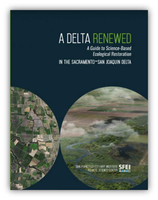
That’s the takeaway message of a report released Nov. 14 by the
San Francisco Estuary Institute.
The report, “A
Delta Renewed,” is the latest in a series sponsored by the
California Department of Fish and Wildlife (DFW). Written by
several authors, the report says there is “cause for hope” to
achieving large-scale Delta restoration in a way that supports
people, farms and the environment. SFEI calls itself “one of
California’s premier aquatic and ecosystem science institutes.”
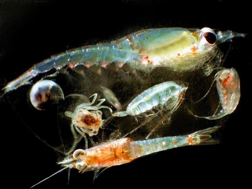
Zooplankton, which are floating
aquatic microorganisms too small and weak to swim against
currents, are are important food sources for many fish species in
the Delta such as salmon, sturgeon and Delta smelt.
The proposed Sites Reservoir would
be a 1.5 million-acre-foot off-river storage basin on the west
side of the Sacramento Valley, about 78 miles northwest of
Sacramento. It would capture stormwater flows from the Sacramento River for release in
dry years for fish and wildlife, farms, communities and
businesses.
In wet years, dry years and every type of water year in between,
the daily intrusion and retreat of salinity in the Sacramento-San
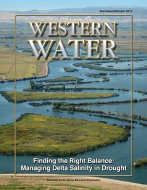
Joaquin Delta is a constant pattern.
The cycle of ebb and flood is the defining nature of an estuary
and prior to its transformation into an agricultural tract in
the mid-19th century, the Delta was a freshwater marsh with
plants, birds, fish and wildlife that thrived on the edge of the
saltwater/freshwater interface.
This 30-minute documentary, produced in 2011, explores the past,
present and future of flood management in California’s Central
Valley. It features stories from residents who have experienced
the devastating effects of a California flood firsthand.
Interviews with long-time Central Valley water experts from
California Department of Water Resources (FloodSAFE), U.S. Army
Corps of Engineers, Bureau of Reclamation, Central Valley Flood
Management Program and environmental groups are featured as they
discuss current efforts to improve the state’s 150-year old flood
protection system and develop a sustainable, integrated, holistic
flood management plan for the Central Valley.
This 30-minute documentary-style DVD on the history and current
state of the San Joaquin River Restoration Program includes an
overview of the geography and history of the river, historical
and current water delivery and uses, the genesis and timeline of
the 1988 lawsuit, how the settlement was reached and what was
agreed to.
This 25-minute documentary-style DVD, developed in partnership
with the California Department of Water Resources, provides an
excellent overview of climate change and how it is already
affecting California. The DVD also explains what scientists
anticipate in the future related to sea level rise and
precipitation/runoff changes and explores the efforts that are
underway to plan and adapt to climate.
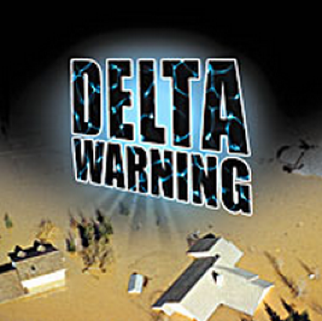
15-minute DVD that graphically portrays the potential disaster
should a major earthquake hit the Sacramento-San Joaquin Delta.
“Delta Warning” depicts what would happen in the event of an
earthquake registering 6.5 on the Richter scale: 30 levee breaks,
16 flooded islands and a 300 billion gallon intrusion of salt
water from the Bay – the “big gulp” – which would shut down the
State Water Project and Central Valley Project pumping plants.
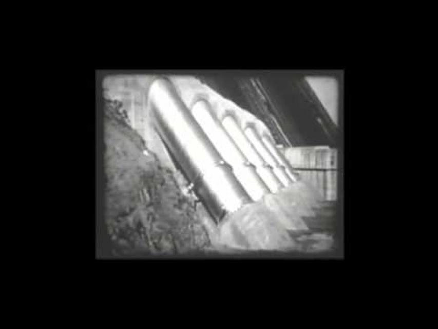
30-minute DVD that traces the history of the U.S. Bureau of
Reclamation and its role in the development of the West. Includes
extensive historic footage of farming and the construction of
dams and other water projects, and discusses historic and modern
day issues.
Water truly has shaped California into the great state it is
today. And if it is water that made California great, it’s the
fight over – and with – water that also makes it so critically
important. In efforts to remap California’s circulatory system,
there have been some critical events that had a profound impact
on California’s water history. These turning points not only
forced a re-evaluation of water, but continue to impact the lives
of every Californian. This 2005 PBS documentary offers a
historical and current look at the major water issues that shaped
the state we know today. Includes a 12-page viewer’s guide with
background information, historic timeline and a teacher’s lesson.
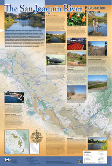
This beautiful 24×36 inch poster, suitable for framing, features
a map of the San Joaquin River. The map text focuses on the San
Joaquin River Restoration Program, which aims to restore flows
and populations of Chinook salmon to the river below Friant Dam
to its confluence with the Merced River. The text discusses the
history of the program, its goals and ongoing challenges with
implementation.
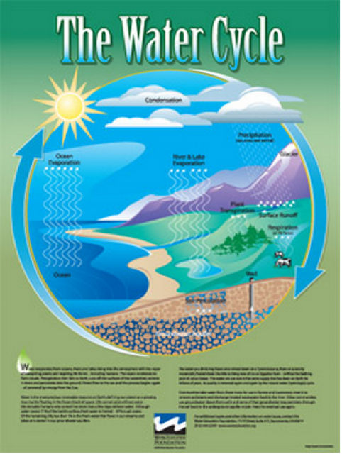
Water as a renewable resource is depicted in this 18×24 inch
poster. Water is renewed again and again by the natural
hydrologic cycle where water evaporates, transpires from plants,
rises to form clouds, and returns to the earth as precipitation.
Excellent for elementary school classroom use.
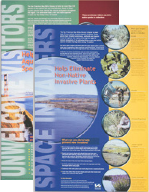
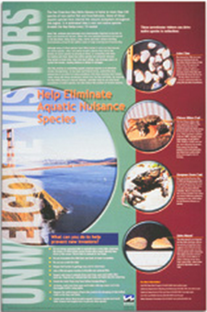
This 24×36 inch poster, suitable for framing, explains how
non-native invasive animals can alter the natural ecosystem,
leading to the demise of native animals. “Unwelcome Visitors”
features photos and information on four such species – including
the zerbra mussel – and explains the environmental and economic
threats posed by these species.
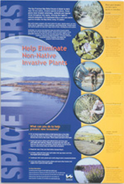
This 24×36 inch poster, suitable for framing, explains how
non-native invasive plants can alter the natural ecosystem,
leading to the demise of native plants and animals. “Space
Invaders” features photos and information on six non-native
plants that have caused widespread problems in the Bay-Delta
Estuary and elsewhere.
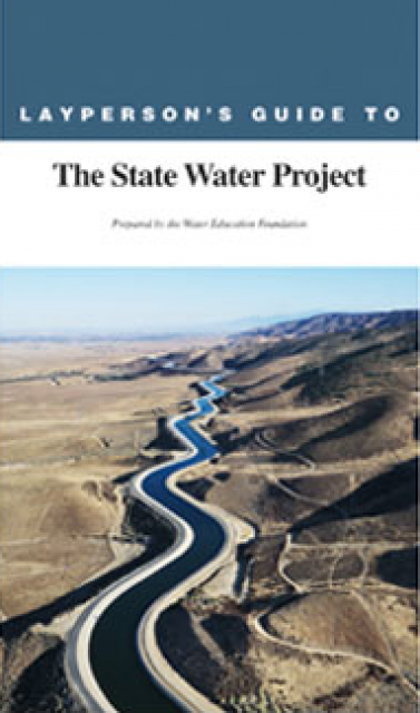
The 24-page Layperson’s Guide to the State Water Project provides
an overview of the California-funded and constructed State Water
Project.
The State Water Project is best known for the 444-mile-long
aqueduct that provides water from the Delta to San Joaquin Valley
agriculture and southern California cities. The guide contains
information about the project’s history and facilities.
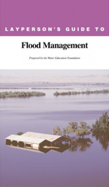
The 24-page Layperson’s Guide to Flood Management explains the
physical flood control system, including levees; discusses
previous flood events (including the 1997 flooding); explores
issues of floodplain management and development; provides an
overview of flood forecasting; and outlines ongoing flood control
projects.
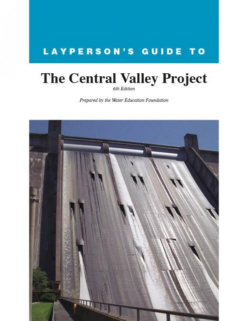
The 24-page Layperson’s Guide to the Central Valley Project
explores the history and development of the federal Central
Valley Project (CVP), California’s largest surface water delivery
system. In addition to the project’s history, the guide describes
the various facilities, operations and benefits the water
project brings to the state along with the CVP
Improvement Act (CVPIA).
A new look for our most popular product! And it’s the perfect
gift for the water wonk in your life.
Our 24×36-inch California Water Map is widely known for being the
definitive poster that shows the integral role water plays in the
state. On this updated version, it is easier to see California’s
natural waterways and man-made reservoirs and aqueducts
– including federally, state and locally funded
projects – the wild and scenic rivers system, and
natural lakes. The map features beautiful photos of
California’s natural environment, rivers, water projects,
wildlife, and urban and agricultural uses and the
text focuses on key issues: water supply, water use, water
projects, the Delta, wild and scenic rivers and the Colorado
River.
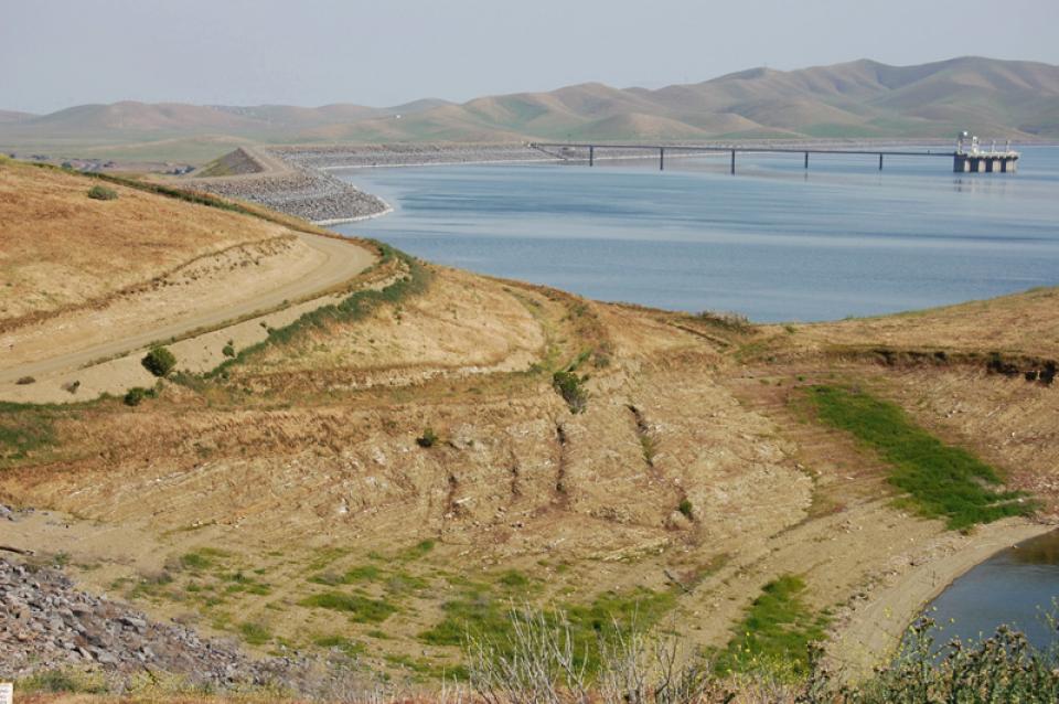
The San Luis Reservoir is the nation’s largest off-stream
reservoir, serving as a key water facility for both the
State Water
Project (SWP) and the federal Central Valley Project
(CVP).
The fresh water inflow and outflow of the Sacramento-San Joaquin
Delta is critical to its vitality and survival.
Freshwater flows from the Delta meets saltwater from the ocean
near Suisun Marsh located to the east of San Francisco Bay.
Suisun Marsh and adjoining
bays are the brackish transition between fresh and salt water.
But the location of that transition is not fixed.
The Sacramento-San Joaquin Delta always has been at the mercy of
river flows and brackish tides.
Before human intervention, salty ocean water from the San
Francisco Bay flooded the vast Delta marshes during dry summers
when mountain runoff ebbed. Then, during winter, heavy runoff
from the mountains repelled sea water intrusion.
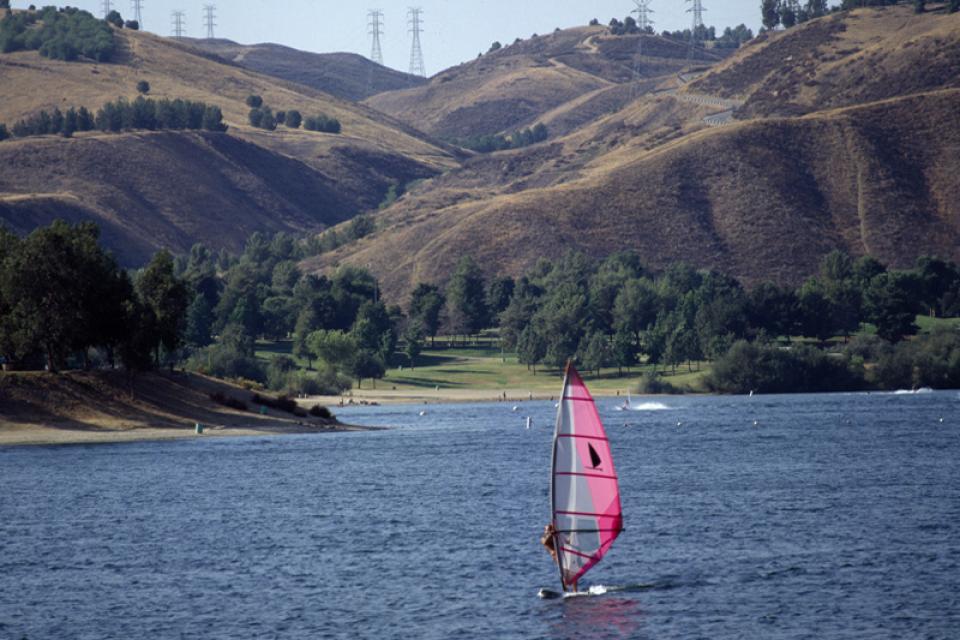
The Sacramento-San Joaquin Delta is
the largest freshwater tidal estuary of its kind on the west
coast of the Americas, providing important habitat for birds on
the Pacific Flyway and
for salmon and other fish that live in or pass through the Delta.
It’s also the hub of California’s two largest surface water
delivery projects, the federal Central Valley Project
and the State Water
Project. The Delta provides a portion of the drinking
water for some 30 million Californians and irrigation water
for large portions of the state’s $61 billion agricultural
industry.
For nearly half a century, the Delta has been embroiled in
continuing controversy over the struggle to restore the faltering
ecosystem while maintaining its role as the hub of the state’s
water supply. That challenge continues to this day and will be
made more difficult by the growing impacts of climate
change.
The Monterey Amendment, a 1994 pact between Department of Water
Resources and State Water Project contractors, helped ease
environmental stresses on the Sacramento San Joaquin Delta.
As part of large-scale restructuring of water supply contracts,
the Monterey Amendment allowed for storage of excess flows during
wet years in groundwater banks and surface storage reservoir.
This stored water could then be used later during dry periods or
to help the Delta.
Invasive species, also known as
exotics, are plants, animals, insects and aquatic species
introduced into non-native habitats.
Often, invasive species travel to non-native areas by ship,
either in ballast water released into harbors or attached to the
sides of boats. From there, introduced species can then spread
and significantly alter ecosystems and the natural food chain as
they go. Another example of non-native species introduction is
the dumping of aquarium fish into waterways.
Environmental concerns have closely followed California’s
development of water resources since its earliest days as a
state.
Early miners harnessed water to dislodge gold through hydraulic
mining. Debris resulting from these mining practices washed down
in rivers and streams, choking them and harming aquatic life and
causing flooding.
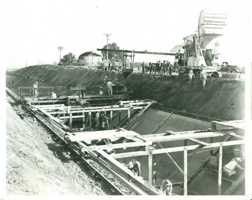
Construction began in 1937 to build the Contra Costa Canal, the
first part of the federal Central Valley
Project. The Contra Costa Canal runs from the Sacramento-San
Joaquin Delta, where it draws its water near Knightsen, to
the eastern and central parts of Contra Costa County. It is about
30 miles from San Francisco.
The California Aqueduct, a critical part of the State Water
Project, carries water from the Sacramento-San Joaquin
Delta to the San Joaquin Valley and Southern California.
Established as part of a $1.75 billion bond passed by voters in
1960, the 444-mile-long California Aqueduct (formally known as
the Edmund G. Brown California Aqueduct) begins at the Harvey O.
Banks Pumping Plant in the Delta.
It parallels Interstate 5 south to the Tehachapi Mountains.
Few regions are as important to California water as the Sacramento-San
Joaquin Delta, where the Sacramento and San Joaquin rivers
converge to discharge into San Francisco Bay.
This issue of Western Water looks at the BDCP and the
Coalition to Support Delta Projects, issues that are aimed at
improving the health and safety of the Delta while solidifying
California’s long-term water supply reliability.
This printed issue of Western Water examines the issues
associated with the State Water Board’s proposed revision of the
water quality Bay-Delta Plan, most notably the question of
whether additional flows are needed for the system, and how they
might be provided.
This printed issue of Western Water examines science –
the answers it can provide to help guide management decisions in
the Delta and the inherent uncertainty it holds that can make
moving forward such a tenuous task.
The critical condition of the Sacramento-San Joaquin Delta has
prompted the question of how it can continue to serve as a source
of water for 25 million people while remaining a viable
ecosystem, agricultural community and growing residential center.
Developing a “dual conveyance” system of continuing to use Delta
waterways to convey water to the export pumps but also building a
new pipeline or canal to move some water supplies around the
Delta is an issue of great scrutiny.
This printed issue of Western Water provides an overview of the
idea of a dual conveyance facility, including questions
surrounding its cost, operation and governance
This printed copy of Western Water examines the Delta through the
many ongoing activities focusing on it, most notably the Delta
Vision process. Many hours of testimony, research, legal
proceedings, public hearings and discussion have occurred and
will continue as the state seeks the ultimate solution to the
problems tied to the Delta.
Consider the array of problems facing the Sacramento- San Joaquin
Delta for too long and the effect can be nearly overwhelming.
Permanently altered more than a century ago, the estuary -
arguably the only one of its kind – is an enigma to those outside
its realm, a region embroiled in difficulties that resist simple,
ready-made solutions.
There are multiple Delta Vision processes underway and a decision
on the future of the Delta will be made in the next two years.
Unlike past planning efforts that focused primarily on water
resource issues and the ecosystem, these current efforts are
expanding to include land use planning, recreation, flood
management, and energy, rail and transportation infrastructure.
How – or if – all these competing demands can be accommodated is
the question being considered.
This issue of Western Water examines the Sacramento-San
Joaquin Delta as it stands today and the efforts by government
agencies, policy experts, elected officials and the public at
large to craft a vision for a sustainable future.
This issue of Western Water discusses the CALFED Bay-Delta
Program and what the future holds as it enters a crucial period.
From its continued political viability to the advancement of best
available science and the challenges of fulfilling the ROD, the
near future will feature a lively discussion that will play a
significant role in the program’s future.
The Sacramento-San Joaquin River Delta has been described as the
“switching yard” of California ’s water delivery system, moving
billions of gallons that supply the drinking water and irrigation
for millions of people. When stakeholders signed the 1994
Bay-Delta Accord, it was a dual-purpose deal designed to
preserve, protect and restore the ecosystem and increase water
supply reliability.
This issue of Western Water examines the extensive activity
associated with the projects and issues related to the Napa
proposal – from increasing the state’s pumping capacity to
improvements in the south Delta to the creation of a lasting
Environmental Water Account to addressing water quality concerns.
As of press time, the proposal was far from finalized, undergoing
review and possible revision by government agencies and
stakeholders.
The release of the CALFED Record of Decision in 2000 marked a
turning point in the multi-year effort to craft a Delta “fix”
that addressed both environmental problems and water supply
reliability. How to finance the many components within the plan
and ensure the plan is implemented over the next 30 years is a
major issue.


")
")
")
")
")
")


")
")
")
")
")
")

")