California’s two primary salmon species, Coho and Chinook, have
experienced significant declines from historical populations.
Of particular importance is the Chinook salmon because the
species supports commercial fishing and related jobs and economic
activities at fish hatcheries.
The decline in salmon numbers is attributed to a variety of
manmade and natural factors including drought, habitat
destruction, water diversions, migratory obstacles created by
local, state and federal water projects, over-fishing,
unfavorable ocean conditions, pollution and introduced predator
species. Wetlands have also been drained and diked; dams have
blocked salmon from reaching historic spawning grounds.
Years of declining populations represent a significant economic
loss and have led to federally mandated salmon restoration plans
that complicate water diversions and conveyance for agriculture
and other uses.
Since President Donald Trump took office for a second term, his
administration has rolled back numerous environmental
protections. The latest target is the Endangered Species Act,
one of the nation’s bedrock conservation laws. Earlier this
month, the U.S. Department of the Interior issued a new
interpretation of what would constitute harming an endangered
species that sharply loosens the act’s protections related to
the degradation of protected wildlife’s habitat.
… Endangered and threatened fish species have carried
particular weight in dictating how state and federal agencies
regulate the flow of water into and out of the
Delta. Agencies today balance irrigation and
development needs with the water quality and
temperature needed by endangered and threatened fish,
ranging from winter run Chinook salmon and Central
Valley steelhead trout to diminutive delta and longfin
smelt.
California Department of Fish and Wildlife announced this
Tuesday that recreational salmon fishing off the North Coast is
officially closed. Fishing from the 40º10′ latitude line to the
Oregon border will remain closed for the remainder of 2026. …
“In the Klamath Management Zone, the California Department of
Fish and Wildlife’s preliminary estimates indicate that 3,968
Chinook salmon were taken by 4,830 anglers aboard both charter
vessels and private skiffs, achieving the area’s recreational
harvest guideline of 3,900 Chinook salmon.” … Several
areas off the California coast further south will remain open
pending the achievement of quotas. In the Fort Bragg Management
Area, for example, 4,352 Chinook salmon have been taken by
6,208 anglers, according to the CDFW, leaving 748 fish
available.
As the chances of a ‘super’ El Niño continue to rise — now 81%,
according to federal scientists — researchers are looking back
to 2015 and 2016, when a Pacific heat wave combined with a
strong El Niño threw some of the West Coast’s most important
commercial fishing fleets into turmoil. … Salmon also
suffered [in 2016], partly because drought had affected inland
rivers, where Chinook and Coho migrate to spawn, eggs hatch,
and salmon fry swim back downstream to the ocean. But warmer
oceans are also often bereft of the high-energy prey these
juvenile salmon need for rapid growth when they reach the
saltwater. … [T]he upcoming El Niño is likely to
be a mixed bag for California’s salmon. If the system
brings a lot of rain, which can happen during an El Niño, that
big water will benefit salmon who are in their river stages.
But the warm ocean water will be a blow to juvenile salmon, and
that won’t show up until two or three years later.
This fog-shrouded patch of coastal forest in the heart of Yurok
Country was tended by the tribe for millennia. … Now, as the
land heals from the scars of a long-running lumber mill, it has
been returned to its original stewards, who will operate it as
a public gateway to Redwood National and State Parks about 50
miles south of the Oregon border. … The announcement comes as
California’s most populous Indigenous nation works to reclaim
its homelands, a mission inscribed in its constitution. The
Yurok Tribe has so far regained 60,000 acres — about 12% — of
its 500,000-acre ancestral territory, which stretches along
the North Coast and the Klamath River.
… Prairie Creek [is] key habitat for coho
salmon, which are federally protected in this portion
of California. The stream has the potential to be particularly
productive because its headwaters are already protected under
the jurisdiction of Redwood National and State Parks.
Federal lawmakers are considering whether to expand the
government’s authority to kill more sea lions and seals to
bolster salmon recovery efforts in the Pacific Northwest. The
region’s critical salmon runs are on life
support: Fourteen species and populations of salmon
and steelhead trout in Washington are deemed at risk of
extinction under the Endangered Species Act. … Rep.
Jared Huffman, the top Democrat on the House Committee on
Natural Resources who represents one of California’s
northernmost districts bordering Oregon, said the bill
“goes too far” in greenlighting pinniped killings without
adequate safeguards.
Federal wildlife officials are loosening protections for a
native fish in the Colorado River. The razorback
sucker was downlisted from “endangered” to
“threatened” by the U.S. Fish and Wildlife Service. The move
suggests progress in protecting the fish, but environmentalists
say the species still struggles to survive in much of its
habitat, and stronger protections were needed. The razorback
sucker, which can grow up to 3 feet long and live for 40 years,
is on a relatively short list of fish that live nowhere else in
the world besides the Colorado River basin. Of the roughly 25
species on that list, four are protected under the endangered
species act. Those fish face multiple threats in a
river system that is getting drier and has been thoroughly
altered by human activity.
… Fishing for chinook salmon, also called king salmon, had
been called off completely for California’s commercial
fishermen since 2023 and nearly as long for recreational
anglers. While the fishery is open again this year, and the
federal government recently announced emergency funding for
those hit hardest by the closure, the consequences of multiple
canceled fishing seasons continues to have ripple effects that
are hard to fully account for. … Without plentiful
chinook salmon to support local fisheries, “people won’t always
spend the money for other species or for other recreational
activities,” [fisherman James] Stone said. “Salmon is what
drives the fishing industry.”
For three years the Sacramento River has been off limits to
salmon anglers, and the silence on the water said everything
about how bad things had gotten. That ended this week.
… The numbers behind the reopening are the encouraging
part. Restoration work has helped bring more than 21,000 salmon
back to spawn, and those fish produced an estimated 500,000
juveniles. Up near Redding, crews are dropping large rocks and
whole trees into the river to slow the current and build the
sheltered water where young salmon can put on size before
making the run to the Pacific. Roger Cornwell of the
Sacramento River Settlement Contractors described the goal
plainly: hold the fish longer so they leave bigger.
The U.S. Fish and Wildlife Service has downlisted the razorback
sucker from endangered to threatened, citing growth in fish
populations that the agency says has reduced the risk to the
species. The freshwater fish, which is native to the Colorado
River and the Grand Canyon, was first listed in 1991 after dams
on the river and other waterways in the Colorado River Basin
fractured its habitat and created conditions that hampered its
ability to reproduce. Non-native fish in the river
also contributed to losses to the species. … The fish
species still faces threats to its survival, the agency said,
including changes in river flows and habitat, changes in water
quality, drought and non-native species.
There are a few locations where anglers congregate
shoulder-to-shoulder to toss spinners in search of salmon, and
for the first time since 2022, bankies will have the ability to
wear out a shoulder and avoid flying hooks starting July 16
from the Carquinez Bridge east to the Woodson Bridge on the
Sacramento River. … There was a season on the Mokelumne,
American, and Feather Rivers in 2025, but the main river, the
Sacramento, was off limits due to the extremely poor
salmon returns to the upper river in 2022. This year’s
returns on the Sacramento are also threatened by water releases
out of Shasta Dam. In addition to the Sacramento River, inland
anglers will enjoy a full season on the Feather,
American and Mokelumne rivers. For the Central Valley,
the general fall-run salmon fishing season will open on July 16
and close on Dec. 16.
A judge has denied a request from several environmental groups
to halt the U.S. Bureau of Reclamation’s planned water release
schedule for Shasta Dam this fall, amid an ongoing lawsuit
over concerns the releases could threaten Chinook
salmon. The lawsuit challenges the bureau’s planned
release amounts. Environmental groups argue the schedule does
not account for protections needed to manage water temperatures
for vulnerable fish, including salmon. … The judge
denied the groups’ request for a temporary restraining order,
finding they had not proved their interpretation of the
Endangered Species Act was more valid than the
bureau’s.
Commercial and recreational salmon fishing has resumed off the
North Coast after a three-year statewide closure, marking a
long-awaited milestone for a troubled industry that has endured
historic losses in revenue and resources. Charter captains are
reporting abundant catches out of Bodega Bay, and commercial
boats up and down the coast are again unloading hauls of the
prized West Coast staple for the first time since 2022. Still,
the reopening is far from a return to normal, industry veterans
say. This year’s season is heavily restricted with
staggered openings and closings designed to limit the take on
rebounding Chinook salmon returns. And fewer boats may be
around to cash in, as some fishermen say years of lost income
from curtailed and closed fisheries have driven some away from
the water for good.
A federal judge declined on Thursday to halt Northern
California water infrastructure projects that a group of
environmental nonprofits say will harm several vulnerable fish
species. Denying a temporary restraining order, U.S. District
Judge Jennifer Thurston said neither the plaintiffs — the
Center for Biological Diversity, the San Francisco Baykeeper
and Friends of the River — nor the U.S. Bureau of Reclamation
provided her an argument on how to interpret the terms of a
Endangered Species Act biological opinion for the
Central Valley Project. … In their March
lawsuit, the three environmental organizations say the
projects threaten fish like the Chinook salmon, steelhead trout
and Northern American green sturgeon.
La Guía para el Público en General sobre el Agua en California,
de 24 páginas, ofrece una visión integral de la historia del
desarrollo de los recursos hídricos en California y de la gestión
de los numerosos desafíos que enfrenta el estado en la
actualidad.
Governor Gavin Newsom today announced the release of the
California Department of Fish and Wildlife (CDFW) California
Salmon Strategy for a Hotter, Drier Future: Second Progress
Report — showcasing extensive progress on the 71 actions to
restore salmon populations mapped out in the 2024 Salmon
Strategy set by the Governor. In the last two years, the state
has fully completed 49% of the actions and partially met or
advanced progress on 51% of the actions towards safeguarding
salmon populations and their habitats. … The progress
led by the state, combined with recent wet winters, has created
a strong foundation for improving habitat, rebuilding salmon
populations, and applying new science to fisheries management.
The Golden State Salmon Association rang the alarm that the
Bureau of Reclamation intends to manage Shasta Dam this fall in
a way that could once again cook the Sacramento River’s next
generation of Chinook. The dispute centers on cold
water. Salmon eggs need it to survive the fall
spawning season, and a federal biological opinion requires the
Bureau to hold enough behind Shasta Dam to keep temperatures
safe. The State Water Resources Control Board rejected the
Bureau’s management plan on June 10, ruling it would violate
both that opinion and state temperature law. According to
the association, the Bureau has signaled it will proceed
anyway, draining extra water to boost summer deliveries to
Central Valley farms.
Two years after crews pulled the last of four dams off the
Klamath River, the question has shifted from whether the fish
would return to how far they can go. California Trout has
answered part of that with a new recovery blueprint
built around steelhead, the wild, sea-running trout
that once climbed the river’s full length before concrete walls
cut them off. The report lays out a long-term plan for
rebuilding steelhead runs across the more than 400 miles of
habitat reopened by the 2024 demolition, the largest dam
removal in United States history. It draws on monitoring that
has already produced surprises, including thousands of Chinook
pushing past the old Iron Gate Dam site and salmon
reaching Upper Klamath Lake for the first time in over a
century.
California’s troubled commercial salmon fleet, fishing this
year for the first time since 2022, is in store for some
federal disaster aid after the Trump administration announced
it would allocate $21.3 million to support the state’s
beleaguered fishery. The June 17 announcement by the National
Oceanic and Atmospheric Administration, or NOAA, follows years
of requests for help from a West Coast industry still reeling
after a historic closure that banned all California salmon
fishing in 2023, 2024 and 2025 due to low ocean forecasts of
returning fish. … Salmon stocks have
weathered sharp declines amid waves of drought,
shifting ocean conditions and longstanding effects from dams,
river diversions and other development that have decimated
their spawning runs.
The 24-page Layperson’s Guide to California Water provides a
comprehensive overview of the history of water development in
California and management of its many challenges today.
The 24-page Layperson’s Guide to the Delta explores the competing
uses and demands on California’s Sacramento-San Joaquin
Delta. The 11th edition examines this critical
water hub and its myriad challenges. The 2025 version
includes the latest information on the tunnel project, habitat
restoration efforts, climate change impacts and an updated
section on the legal and political facets of the Delta.
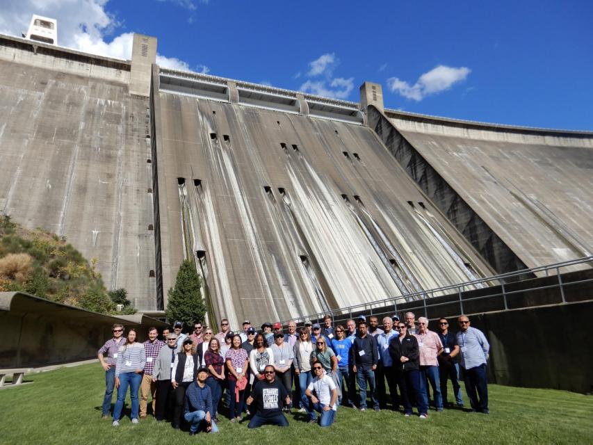
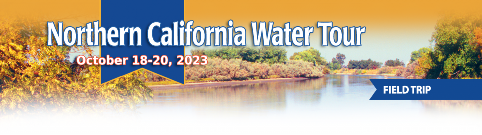
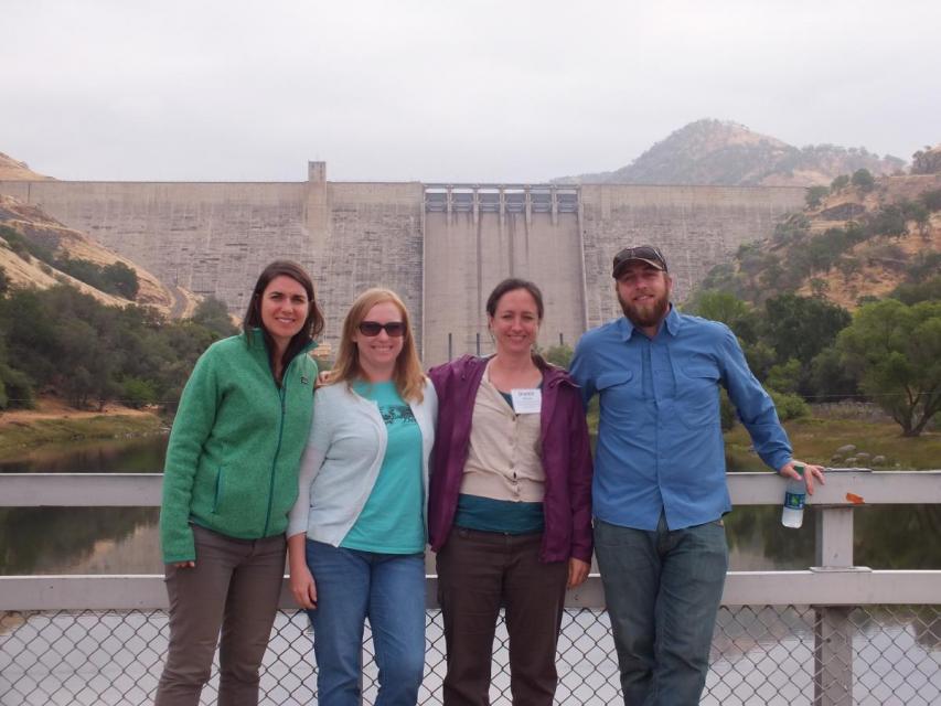
This tour explored the Sacramento River and its tributaries through a scenic landscape while learning about the issues associated with a key source for the state’s water supply.
All together, the river and its tributaries supply 35 percent of California’s water and feed into two major projects: the State Water Project and the federal Central Valley Project.
Water Education Foundation
2151 River Plaza Drive, Suite 205
Sacramento, CA 95833
The California Department of Fish and Wildlife recommended
Alternative 3 – Salmon Closure during the final days of the
Pacific Fisheries Management Council (PFMC) meeting mirroring
the opinions of commercial and recreational charter boat
anglers. The department’s position is a significant change from
early March. The PFMC meetings are being held in Seattle from
April 6 to 11, and the final recommendations of the council
will be forwarded to the California Fish and Game Commission in
May.
Partners have pulled together to support the recovery of
endangered Sacramento winter-run Chinook salmon in the last few
years. However, the species still faces threats from climate
change and other factors. That is the conclusion of an
Endangered Species Act review that NOAA Fisheries completed for
the native California species. It once returned in great
numbers to the tributaries of the Sacramento River and
supported local tribes. The review concluded that the species
remains endangered, and identified key recovery actions to help
the species survive climate change. While partners have taken
steps to protect winter-run Chinook salmon, blocked habitat,
altered flows, and higher temperatures continue to threaten
their survival.
…Tuesday, the State Water Resources Control Board took
action to protect the salmon,
unanimously extending the region’s
expired emergency drought measures. Ground and surface
water for farms will be restricted for another year if flows in
the Shasta and Scott rivers dip below minimum thresholds. State
officials say these measures are likely to kick in next
year. Water board chair Joaquin Esquivel said action
is needed because “a fish emergency” remains on the rivers.
“Time isn’t our friend,” he said at a previous meeting in
August. “There is an urgency.” The water board also
is investigating the possibility of permanent requirements to
keep more water in the rivers, after the Karuk Tribe and the
fishing industry petitioned the state for stronger protections.
That decision, however, could take years.
This tour explored the Sacramento River and its tributaries through a scenic landscape while learning about the issues associated with a key source for the state’s water supply.
All together, the river and its tributaries supply 35 percent of California’s water and feed into two major projects: the State Water Project and the federal Central Valley Project.
Water Education Foundation
2151 River Plaza Drive, Suite 205
Sacramento, CA 95833
The Klamath River Basin was once one
of the world’s most ecologically magnificent regions, a watershed
teeming with salmon, migratory birds and wildlife that thrived
alongside Native American communities. The river flowed rapidly
from its headwaters in southern Oregon’s high deserts into Upper
Klamath Lake, collected snowmelt along a narrow gorge through the
Cascades, then raced downhill to the California coast in a misty,
redwood-lined finish.
This tour explored the Sacramento River and its tributaries through a scenic landscape while learning about the issues associated with a key source for the state’s water supply.
All together, the river and its tributaries supply 35 percent of California’s water and feed into two major projects: the State Water Project and the federal Central Valley Project.
Water Education Foundation
2151 River Plaza Drive, Suite 205
Sacramento, CA 95833
This tour explored the Sacramento River and its tributaries
through a scenic landscape while learning about the issues
associated with a key source for the state’s water supply.
All together, the river and its tributaries supply 35 percent of
California’s water and feed into two major projects: the State
Water Project and the federal Central Valley Project.
Water Education Foundation
2151 River Plaza Drive, Suite 205
Sacramento, CA 95833
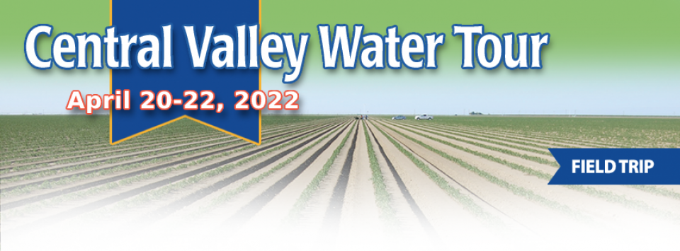
This tour ventured through California’s Central Valley, known as the nation’s breadbasket thanks to an imported supply of surface water and local groundwater. Covering about 20,000 square miles through the heart of the state, the valley provides 25 percent of the nation’s food, including 40 percent of all fruits, nuts and vegetables consumed throughout the country.
Land and waterway managers labored
hard over the course of a century to control California’s unruly
rivers by building dams and levees to slow and contain their
water. Now, farmers, environmentalists and agencies are undoing
some of that work as part of an accelerating campaign to restore
the state’s major floodplains.
Biologists have designed a variety
of unique experiments in the past decade to demonstrate the
benefits that floodplains provide for small fish. Tracking
studies have used acoustic tags to show that chinook salmon
smolts with access to inundated fields are more likely than their
river-bound cohorts to reach the Pacific Ocean. This is because
the richness of floodplains offers a vital buffet of nourishment
on which young salmon can capitalize, supercharging their growth
and leading to bigger, stronger smolts.
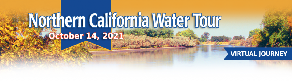
This tour guided participants on a virtual exploration of the Sacramento River and its tributaries and learn about the issues associated with a key source for the state’s water supply.
All together, the river and its tributaries supply 35 percent of California’s water and feed into two major projects: the State Water Project and the federal Central Valley Project.
One of California Gov. Gavin
Newsom’s first actions after taking office was to appoint Wade
Crowfoot as Natural Resources Agency secretary. Then, within
weeks, the governor laid out an ambitious water agenda that
Crowfoot, 45, is now charged with executing.
That agenda includes the governor’s desire for a “fresh approach”
on water, scaling back the conveyance plan in the Sacramento-San
Joaquin Delta and calling for more water recycling, expanded
floodplains in the Central Valley and more groundwater recharge.
The growing leadership of women in water. The Colorado River’s persistent drought and efforts to sign off on a plan to avert worse shortfalls of water from the river. And in California’s Central Valley, promising solutions to vexing water resource challenges.
These were among the topics that Western Water news explored in 2018.
We’re already planning a full slate of stories for 2019. You can sign up here to be alerted when new stories are published. In the meantime, take a look at what we dove into in 2018:
In 1983, a landmark California Supreme Court ruling extended the public trust doctrine to tributary creeks that feed Mono Lake, which is a navigable water body even though the creeks themselves were not. The ruling marked a dramatic shift in water law and forced Los Angeles to cut back its take of water from those creeks in the Eastern Sierra to preserve the lake.
Now, a state appellate court has for the first time extended that same public trust doctrine to groundwater that feeds a navigable river, in this case the Scott River flowing through a picturesque valley of farms and alfalfa in Siskiyou County in the northern reaches of California.
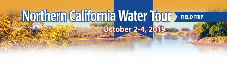
This tour explored the Sacramento River and its tributaries
through a scenic landscape as participants learned about the
issues associated with a key source for the state’s water supply.
All together, the river and its tributaries supply 35 percent of
California’s water and feed into two major projects: the State
Water Project and the federal Central Valley Project. Tour
participants got an on-site update of Oroville Dam spillway
repairs.
An hour’s drive north of Sacramento sits a picture-perfect valley hugging the eastern foothills of Northern California’s Coast Range, with golden hills framing grasslands mostly used for cattle grazing.
Back in the late 1800s, pioneer John Sites built his ranch there and a small township, now gone, bore his name. Today, the community of a handful of families and ranchers still maintains a proud heritage.
Farmers in the Central Valley are broiling about California’s plan to increase flows in the Sacramento and San Joaquin river systems to help struggling salmon runs avoid extinction. But in one corner of the fertile breadbasket, River Garden Farms is taking part in some extraordinary efforts to provide the embattled fish with refuge from predators and enough food to eat.
And while there is no direct benefit to one farm’s voluntary actions, the belief is what’s good for the fish is good for the farmers.
This tour explored the Sacramento River and its tributaries
through a scenic landscape as participants learned about the
issues associated with a key source for the state’s water supply.
All together, the river and its tributaries supply 35 percent of
California’s water and feed into two major projects: the State
Water Project and the federal Central Valley Project. Tour
participants got an on-site update of repair efforts on the
Oroville Dam spillway.
Before dams were built on the upper
Sacramento River, flood water regularly carried woody debris that
was an important part of the aquatic habitat.
Deprived of this refuge, salmon in the lower parts of the upper
Sacramento River have had a difficult time surviving and making
it down the river and out to the ocean. Seeing this, a group of
people, including water users, decided to lend a hand with an
unprecedented pilot project that saw massive walnut tree trunks
affixed to 12,000-pound boulders and deposited into the deepest
part of the Sacramento River near Redding to provide shelter for
young salmon and steelhead migrating downstream.
Protecting and restoring California’s populations of threatened
and endangered Chinook salmon and steelhead trout have been a big
part of the state’s water management picture for more than 20
years. Significant resources have been dedicated to helping the
various runs of the iconic fish, with successes and setbacks. In
a landscape dramatically altered from its natural setting,
finding a balance between the competing demands for water is
challenging.
Butte Creek, a tributary of the
Sacramento River, begins less than 50 miles northeast of Chico,
California and is named after nearby volcanic plateaus or
“buttes.” The cold, clear waters of the 93-mile creek sustain the
largest naturally spawning wild population of spring-run chinook salmon in the Central Valley.
Several other native fish species are found in Butte Creek,
including Pacific lamprey and Sacramento pikeminnow.
20-minute version of the 2012 documentary The Klamath Basin: A
Restoration for the Ages. This DVD is ideal for showing at
community forums and speaking engagements to help the public
understand the complex issues related to complex water management
disputes in the Klamath River Basin. Narrated by actress Frances
Fisher.
For over a century, the Klamath River Basin along the Oregon and
California border has faced complex water management disputes. As
relayed in this 2012, 60-minute public television documentary
narrated by actress Frances Fisher, the water interests range
from the Tribes near the river, to energy producer PacifiCorp,
farmers, municipalities, commercial fishermen, environmentalists
– all bearing legitimate arguments for how to manage the water.
After years of fighting, a groundbreaking compromise may soon
settle the battles with two epic agreements that hold the promise
of peace and fish for the watershed. View an excerpt from the
documentary here.
This 30-minute documentary-style DVD on the history and current
state of the San Joaquin River Restoration Program includes an
overview of the geography and history of the river, historical
and current water delivery and uses, the genesis and timeline of
the 1988 lawsuit, how the settlement was reached and what was
agreed to.
This 25-minute documentary-style DVD, developed in partnership
with the California Department of Water Resources, provides an
excellent overview of climate change and how it is already
affecting California. The DVD also explains what scientists
anticipate in the future related to sea level rise and
precipitation/runoff changes and explores the efforts that are
underway to plan and adapt to climate.
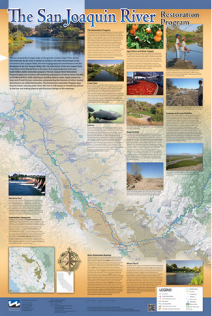
This beautiful 24×36 inch poster, suitable for framing, features
a map of the San Joaquin River. The map text focuses on the San
Joaquin River Restoration Program, which aims to restore flows
and populations of Chinook salmon to the river below Friant Dam
to its confluence with the Merced River. The text discusses the
history of the program, its goals and ongoing challenges with
implementation.
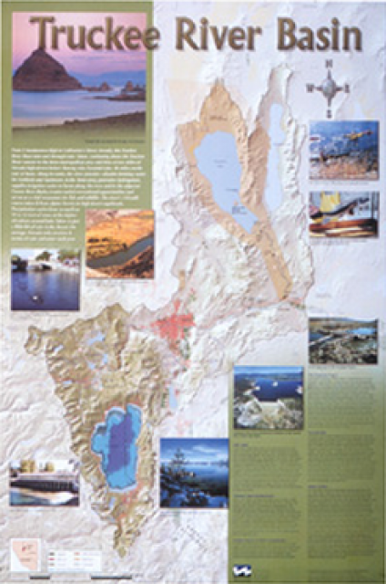
This beautiful 24×36-inch poster, suitable for framing, displays
the rivers, lakes and reservoirs, irrigated farmland, urban areas
and Indian reservations within the Truckee River Basin, including
the Newlands Project, Pyramid Lake and Lake Tahoe. Map text
explains the issues surrounding the use of the Truckee-Carson
rivers, Lake Tahoe water quality improvement efforts, fishery
restoration and the effort to reach compromise solutions to many
of these issues.
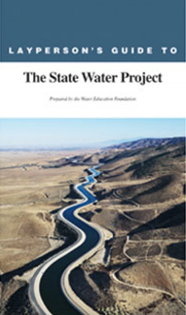
The 24-page Layperson’s Guide to the State Water Project provides
an overview of the California-funded and constructed State Water
Project.
The State Water Project is best known for the 444-mile-long
aqueduct that provides water from the Delta to San Joaquin Valley
agriculture and southern California cities. The guide contains
information about the project’s history and facilities.
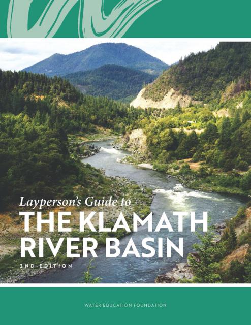
The Water Education Foundation’s second edition of
the Layperson’s Guide to The Klamath River Basin is
hot off the press and available for purchase.
Updated and redesigned, the easy-to-read overview covers the
history of the region’s tribal, agricultural and environmental
relationships with one of the West’s largest rivers — and a
vast watershed that hosts one of the nation’s oldest and
largest reclamation projects.
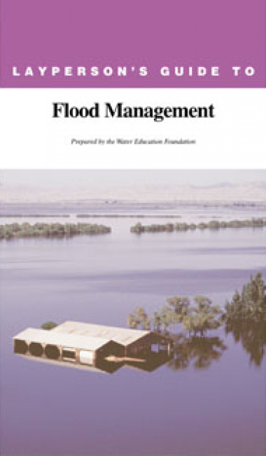
The 24-page Layperson’s Guide to Flood Management explains the
physical flood control system, including levees; discusses
previous flood events (including the 1997 flooding); explores
issues of floodplain management and development; provides an
overview of flood forecasting; and outlines ongoing flood control
projects.
The 24-page Layperson’s Guide to the Central Valley Project
explores the history and development of the federal Central
Valley Project (CVP), California’s largest surface water delivery
system. In addition to the project’s history, the guide describes
the various facilities, operations and benefits the water
project brings to the state along with the CVP
Improvement Act (CVPIA).
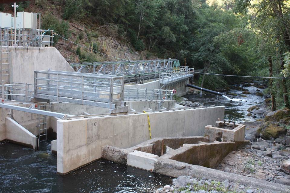
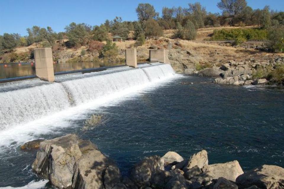
The Red Bluff Diversion Dam, its gates raised since 2011 to allow
fish passage, spans the Sacramento River two miles
southeast of Red Bluff on the Sacramento River in Tehama County.
It is owned by the Bureau of Reclamation and operated and
maintained by the Tehama-Colusa Canal Authority.
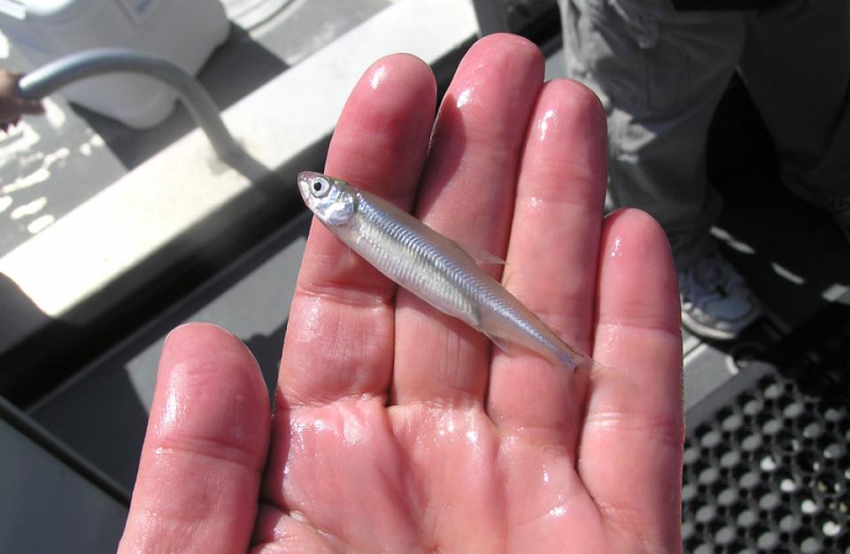
Pelagic fish are those that live near the water’s surface rather
than on the bottom. In California, pelagic fish species include
the Delta smelt, longfin
smelt, striped bass and salmon.
In California, the fate of pelagic fish has been closely tied to
the use of the water that supports them.
The Klamath River Basin is one of the West’s most important and
contentious watersheds.
The watershed is known for its unusual geography straddling
California and Oregon. Unlike many western rivers, the
Klamath does not originate in snowcapped mountains but rather on
a volcanic plateau.
A broad patchwork of spring-fed streams and rivers in
south-central Oregon drains into Upper Klamath Lake and down into
Lake Ewauna in the city of Klamath Falls. The outflow from Ewauna
marks the beginning of the 263-mile Klamath River.
The Klamath Basin’s Chinook salmon and coho salmon serve a vital
role in the watershed.
Together, they are key to the region’s water management, habitat
restoration and fishing.
However, years of declining population have led to federally
mandated salmon restoration plans—plans that complicate the
diversion of Klamath water for agriculture and other uses.
Battle Creek, a tributary of the
Sacramento River in Shasta and Tehama counties, is considered one
of the most important anadromous fish spawning streams in the
Sacramento Valley.
At present, barriers make it difficult for anadromous fish,
including chinook salmon and Central Valley steelhead trout, to
migrate. Battle Creek has several hydroelectric dams, diversions
and a complex canal system between its north and south forks that
impede migration.
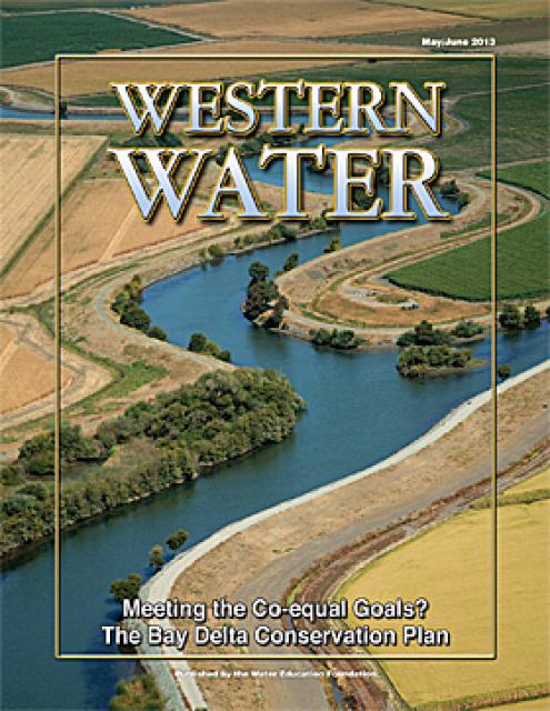
This issue of Western Water looks at the BDCP and the
Coalition to Support Delta Projects, issues that are aimed at
improving the health and safety of the Delta while solidifying
California’s long-term water supply reliability.
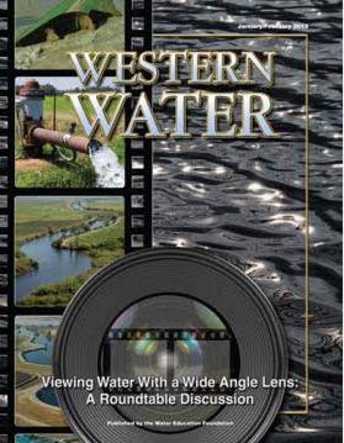
This printed issue of Western Water features a
roundtable discussion with Anthony Saracino, a water resources
consultant; Martha Davis, executive manager of policy development
with the Inland Empire Utilities Agency and senior policy advisor
to the Delta Stewardship Council; Stuart Leavenworth, editorial
page editor of The Sacramento Bee and Ellen Hanak, co-director of
research and senior fellow at the Public Policy Institute of
California.
This printed issue of Western Water examines the issues
associated with the State Water Board’s proposed revision of the
water quality Bay-Delta Plan, most notably the question of
whether additional flows are needed for the system, and how they
might be provided.
This printed issue of Western Water examines science –
the answers it can provide to help guide management decisions in
the Delta and the inherent uncertainty it holds that can make
moving forward such a tenuous task.
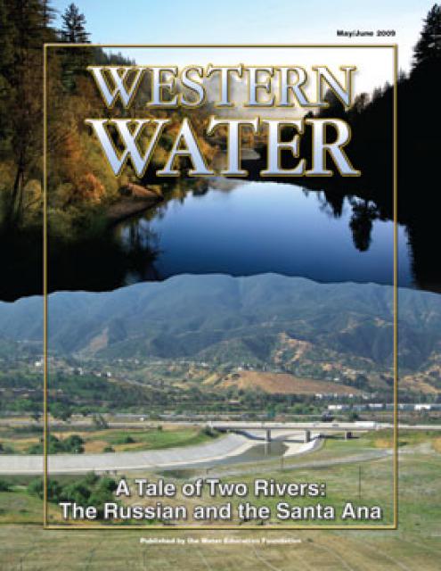
This printed issue of Western Water examines the Russian and
Santa Ana rivers – areas with ongoing issues not dissimilar to
the rest of the state – managing supplies within a lingering
drought, improving water quality and revitalizing and restoring
the vestiges of the native past.
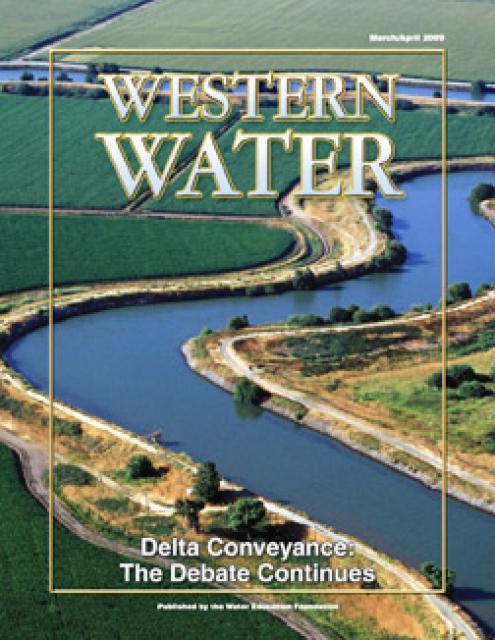
This printed issue of Western Water provides an overview of the
idea of a dual conveyance facility, including questions
surrounding its cost, operation and governance
This printed copy of Western Water examines the native salmon and
trout dilemma – the extent of the crisis, its potential impact on
water deliveries and the lengths to which combined efforts can
help restore threatened and endangered species.
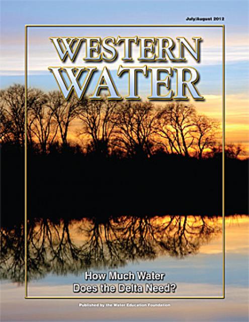
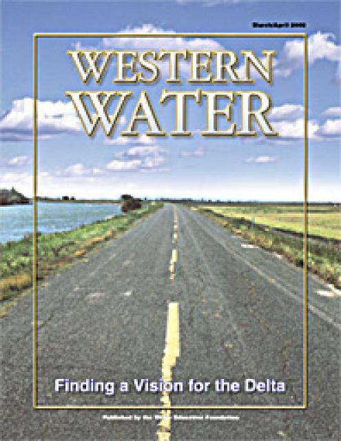
This printed copy of Western Water examines the Delta through the
many ongoing activities focusing on it, most notably the Delta
Vision process. Many hours of testimony, research, legal
proceedings, public hearings and discussion have occurred and
will continue as the state seeks the ultimate solution to the
problems tied to the Delta.
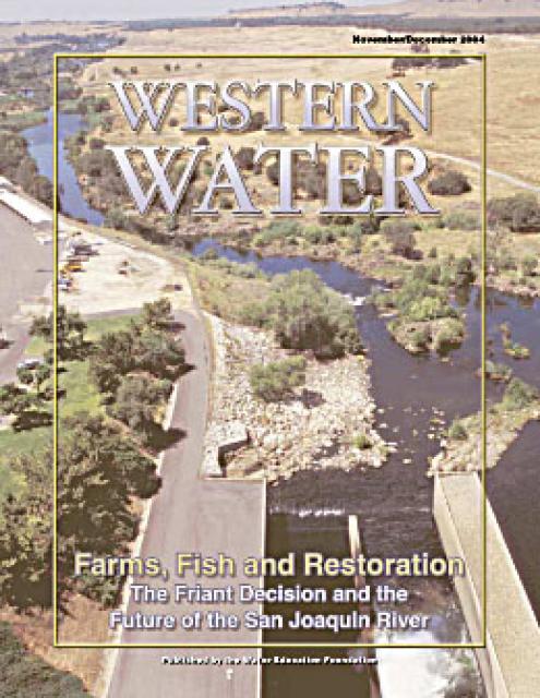
This issue of Western Water explores the implications for the San
Joaquin River following the decision in the Natural Resources
Defense Council lawsuit against the Bureau of Reclamation and
Friant Water Users Authority that Friant Dam is required to
comply with a state law that requires enough water be released to
sustain downstream fish populations.
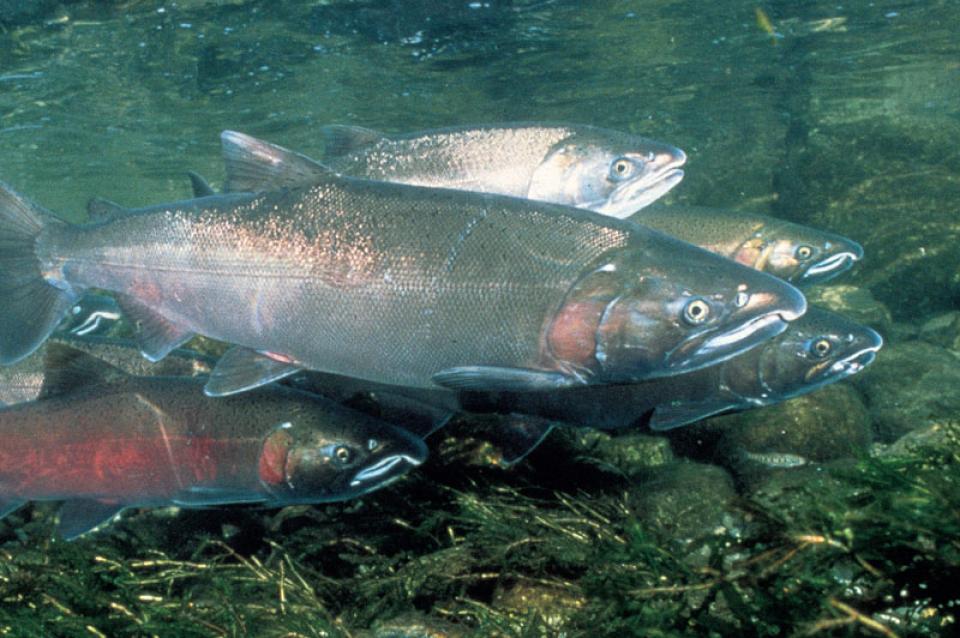
Fresh from the ocean, adult salmon struggle to swim hundreds of
miles upstream to spawn — and then die — in the same stream in
which they were born. For the salmon, the river-to-ocean,
ocean-to-river life cycle is nothing more than instinct. For
humans, it invites wonder. The cycle has prevailed for centuries,
yet as salmon populations have declined, the cycle has become a
source of conflict. Water users have seen their supplies reduced.
Fishermen have had their catch curtailed. Environmentalists have
pushed for more instream flows for fish.


")

")
: Karla Nemeth, director, California Department of Water Resources; Gloria Gray, chair, Metropolitan Water District of Southern California; Brenda Burman, Bureau of Reclamation Commissioner; Jayne Harkins, commissioner, International Boundary and Water Commission, U.S. and Mexico; Amy Haas, executive director, Upper Colorado River Commission.")
")
")
")


. Credit: U.S. Bureau of Reclamation")