Despite droughts, the recession and natural disasters,
California’s urban population continues to grow.
This population growth means increasing demand for water by urban
areas—home to most of California’s population [see also
Agricultural Conservation]. As of 2012, seven of the most
populated urbanized areas in the United States are in California.
Cities across California and the Southwest are significantly
increasing and diversifying their use of recycled wastewater as
traditional water supplies grow tighter.
The 5th edition of our Layperson’s Guide to Water Recycling
covers the latest trends and statistics on water reuse as a
strategic defense against prolonged drought and climate change.
Water regulation in Arizona has devolved into a game of
chicken. The governor and farmers are rivals revving their
engines, hoping their opponent will flinch first. Caught
in the middle is Gila Bend, a groundwater basin south of
Buckeye, where the state could decide to impose its most
stringent form of regulation, whether folks like it or not.
Both sides are using Gila Bend as a bargaining chip to win
support for competing legislative proposals. But to what
end? - Written by Joanna Allhands, Arizona Republic digital
opinions editor
It’s been a year since two devastating wildfires on opposite ends
of California underscored the harsh new realities facing water
districts and cities serving communities in or adjacent to the
state’s fire-prone wildlands. Fire doesn’t just level homes, it
can contaminate water, scorch watersheds, damage delivery systems
and upend an agency’s finances.
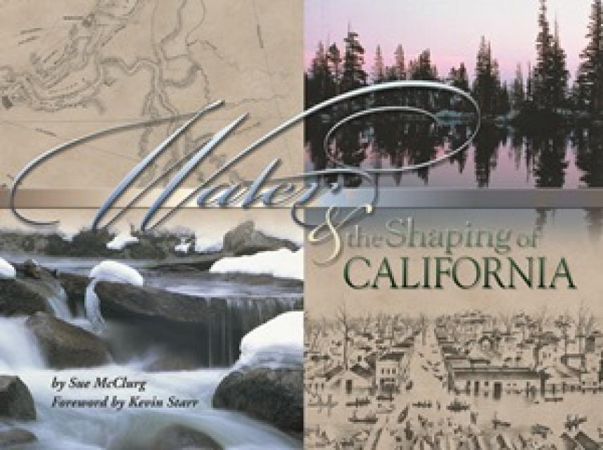
We have an unknown distance yet to run, an unknown river to explore. What falls there are, we know not; what rocks beset the channel, we know not; what walls ride over the river, we know not. Ah, well! We may conjecture many things.
~John Wesley Powell
Powell scrawled those words in his journal as he and his expedition paddled their way into the deep walls of the Grand Canyon on a stretch of the Colorado River in August 1869. Three months earlier, the 10-man group had set out on their exploration of the iconic Southwest river by hauling their wooden boats into a major tributary of the Colorado, the Green River in Wyoming, for their trip into the “great unknown,” as Powell described it.
In the universe of California water, Tim Quinn is a professor emeritus. Quinn has seen — and been a key player in — a lot of major California water issues since he began his water career 40 years ago as a young economist with the Rand Corporation, then later as deputy general manager with the Metropolitan Water District of Southern California, and finally as executive director of the Association of California Water Agencies. In December, the 66-year-old will retire from ACWA.
Owens Lake is a dry lake at the terminus of the Owens River
just west of Death Valley and on the eastern side of the Sierra Nevada. For at least
800,000 years, the lake had a continuous flow of water, until
1913 when the Los Angeles Department of Water and Power
(LADWP) completed the 233-mile Los Angeles
Aqueduct to supplement the budding metropolis’
increasing water demands.
This 25-minute documentary-style DVD, developed in partnership
with the California Department of Water Resources, provides an
excellent overview of climate change and how it is already
affecting California. The DVD also explains what scientists
anticipate in the future related to sea level rise and
precipitation/runoff changes and explores the efforts that are
underway to plan and adapt to climate.
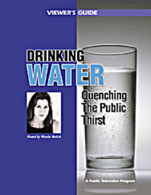
Many Californians don’t realize that when they turn on the
faucet, the water that flows out could come from a source close
to home or one hundreds of miles away. Most people take their
water for granted; not thinking about the elaborate systems and
testing that go into delivering clean, plentiful water to
households throughout the state. Where drinking water comes from,
how it’s treated, and what people can do to protect its quality
are highlighted in this 2007 PBS documentary narrated by actress
Wendie Malick.
A 30-minute version of the 2007 PBS documentary Drinking Water:
Quenching the Public Thirst. This DVD is ideal for showing at
community forums and speaking engagements to help the public
understand the complex issues surrounding the elaborate systems
and testing that go into delivering clean, plentiful water to
households throughout the state.
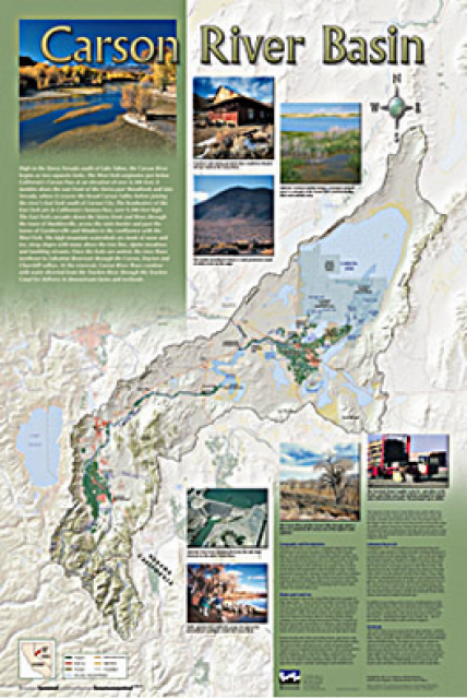
A companion to the Truckee River Basin Map poster, this
24×36-inch poster, suitable for framing, explores the Carson
River, and its link to the Truckee River. The map includes the
Lahontan Dam and reservoir, the Carson Sink, and the farming
areas in the basin. Map text discusses the region’s hydrology and
geography, the Newlands Project, land and water use within the
basin and wetlands. Development of the map was funded by a grant
from the U.S. Bureau of Reclamation Mid-Pacific Region, Lahontan
Basin Area Office.
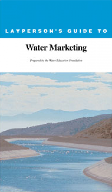
The 20-page Layperson’s Guide to Water Marketing provides
background information on water rights, types of transfers and
critical policy issues surrounding this topic. First published in
1996, the 2005 version offers expanded information on
groundwater banking and conjunctive use, Colorado River
transfers and the role of private companies in California’s
developing water market.
Order in bulk (25 or more copies of the same guide) for a reduced
fee. Contact the Foundation, 916-444-6240, for details.
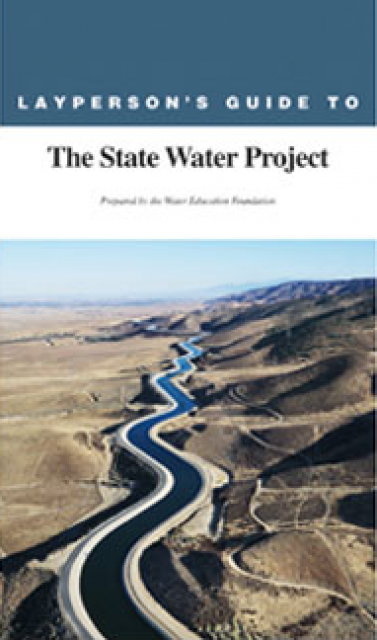
The 24-page Layperson’s Guide to the State Water Project provides
an overview of the California-funded and constructed State Water
Project.
The State Water Project is best known for the 444-mile-long
aqueduct that provides water from the Delta to San Joaquin Valley
agriculture and southern California cities. The guide contains
information about the project’s history and facilities.
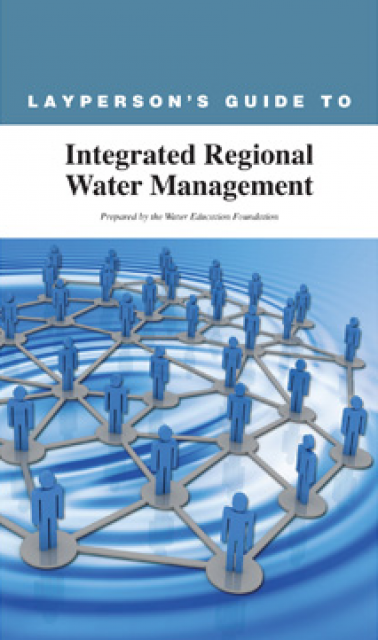
The 24-page Layperson’s Guide to Integrated Regional Water
Management (IRWM) is an in-depth, easy-to-understand publication
that provides background information on the principles of IRWM,
its funding history and how it differs from the traditional water
management approach.
Despite droughts, recession and natural disasters, California’s
urban population continues to grow.
This population growth means increasing demand for water by urban
areas—home to most of California’s population [see also Agricultural
Conservation]. As of 2021, three of the nation’s 10 most
populated cities are in California.
This printed issue of Western Water features a
roundtable discussion with Anthony Saracino, a water resources
consultant; Martha Davis, executive manager of policy development
with the Inland Empire Utilities Agency and senior policy advisor
to the Delta Stewardship Council; Stuart Leavenworth, editorial
page editor of The Sacramento Bee and Ellen Hanak, co-director of
research and senior fellow at the Public Policy Institute of
California.
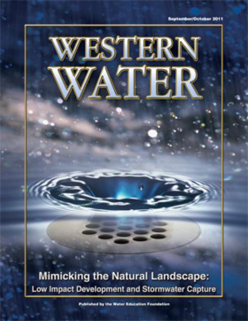
This printed issue of Western Water discusses low
impact development and stormwater capture – two areas of emerging
interest that are viewed as important components of California’s
future water supply and management scenario.
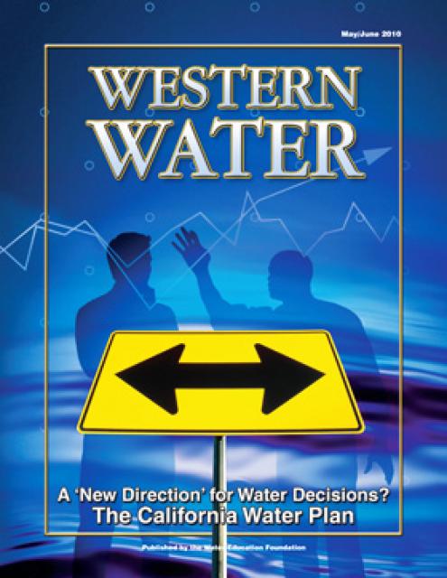
This printed issue of Western Water examines the
changed nature of the California Water Plan, some aspects of the
2009 update (including the recommendation for a water finance
plan) and the reaction by certain stakeholders.
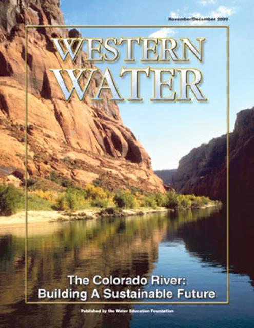
This printed issue of Western Water explores some of the major
challenges facing Colorado River stakeholders: preparing for
climate change, forging U.S.-Mexico water supply solutions and
dealing with continued growth in the basins states. Much of the
content for this issue of Western Water came from the in-depth
panel discussions at the September 2009 Colorado River Symposium.
This issue of Western Water asks whether a groundwater
compact is needed to manage this shared resource today. In the
water-stressed West, there will need to be a recognition of
sharing water resources or a line will need to be drawn in the
sand against future growth.
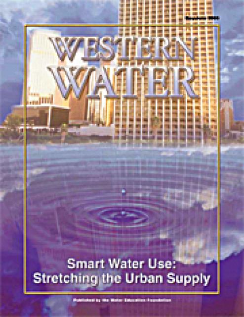
This issue of Western Water examines the continuing practice of
smart water use in the urban sector and its many facets, from
improved consumer appliances to improved agency planning to the
improvements in water recycling and desalination. Many in the
water community say conserving water is not merely a response to
drought conditions, but a permanent ethic in an era in which
every drop of water is a valuable commodity not to be wasted.
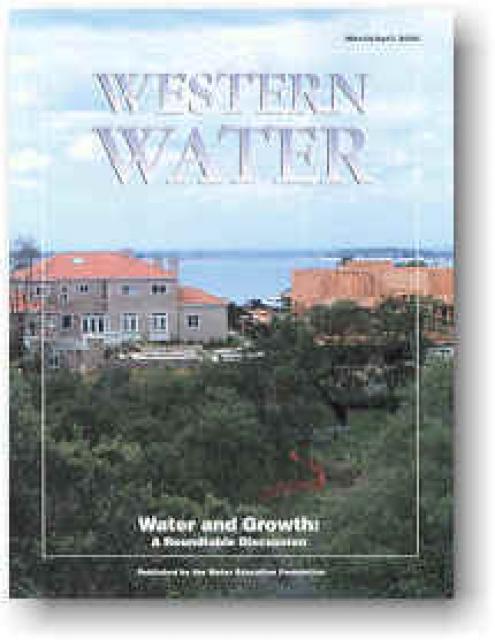
When water and growth was featured in the May/June 1995 Western
Water, the debate in the California Legislature was about whether
a local water district should have any say when it came to
providing water to new developments. Of the four bills before
state lawmakers, it was Sen. Jim Costa’s SB 901 that cleared the
Legislature and was signed into law. The bill established a
voluntary link between water and land-use planning by requiring
planning departments to consult with local water purveyors about
the availability of new supplies.


")
")
")