The San Joaquin Valley stretches from across mid-California
between coastal ranges in west and the Sierras on the east. The
region includes large cities such as Fresno and Bakersfield,
national parks such as Yosemite and Kings and fertile farmland
and multi-billion dollar agriculture industry.
The federal Central Valley Project and State Water Project (about
30 percent of SWP water is used for irrigation) helped
deliver water to the valley. Today, San Joaquin Valley crops
include grapes, tomatoes, hay, sugar beets, nuts, cotton and a
multitude of other fruits and vegetables. At the same time, water
used to grow these crops has led to the need for agricultural
drainage.
*IMPORTANT* In anticipation of high demand, the Foundation will be allocating tickets via a lottery method with a maximum of 3 entrants per organization. Tickets will be released in batches over time. Details coming soon.
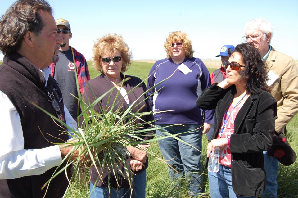
This special, first-ever Foundation water tour will only be offered once! Join us on this special journey as we examine water issues along the Kern River, from its mountain-fed headwaters in the southern Sierra Nevada to its terminus in the Central Valley west of Bakersfield. Among the planned stops are both upper forks of the Kern River, Lake Isabella, lower Kern River canyon, the Friant-Kern Canal, irrigated agriculture in the valley, the Kern Water Bank and more.
Hyatt Place Bakersfield
310 Coffee Rd.
Bakersfield, CA 93309
To replenish California’s
chronically depleted aquifers, the state’s Department of Water
Resources is taking a hard look at a new line of attack: Pairing
more sophisticated reservoir operations with groundwater
recharge. Water managers are aiming to make greater use of the
increased floodwater that’s expected to come with flashier, more
intense storms and earlier snowmelt.
A new aquatic invader, the golden mussel, has penetrated California’s ecologically fragile Sacramento-San Joaquin Delta, the West Coast’s largest tidal estuary and the hub of the state’s vast water export system. While state officials say they’re working to keep this latest invasive species in check, they concede it may be a nearly impossible task: The golden mussel is in the Golden State to stay – and it is likely to spread.
How will selling groundwater help keep more groundwater in the
San Joaquin Valley’s already critically overtapped aquifers?
Water managers in the Kaweah subbasin in northwestern Tulare
County hope to find out by having farmers tinker with a pilot
groundwater market program. Kaweah farmers will be joining
growers from subbasins up and down the San Joaquin Valley
who’ve been looking at how water markets might help them
maintain their businesses by using pumping allotments and
groundwater credits as assets to trade or sell when water is
tight.
… A state audit from the California Water Resources Control
Board released last year found that over 920,000 residents
faced an increased risk of illness–including cancer, liver and
kidney problems–due to consuming unsafe drinking water. A
majority of these unsafe water systems are in the Central
Valley. The matter has prompted community leaders to mobilize
residents around water quality as politicians confront
imperfect solutions for the region’s supply. Advocates point
out that impacted areas, including those in Tulare County, tend
to be majority Latino with low median incomes. … This
year’s extreme weather has only worsened the valley’s problems.
The storms that hit California at the start of this year caused
stormwater tainted with farm industry fertilizer, manure and
nitrates to flow into valley aquifers.
A new underground mapping technology
that reveals the best spots for storing surplus water in
California’s Central Valley is providing a big boost to the
state’s most groundwater-dependent communities.
The maps provided by the California Department of Water Resources
for the first time pinpoint paleo valleys and similar prime
underground storage zones traditionally found with some guesswork
by drilling exploratory wells and other more time-consuming
manual methods. The new maps are drawn from data on the
composition of underlying rock and soil gathered by low-flying
helicopters towing giant magnets.
The unique peeks below ground are saving water agencies’
resources and allowing them to accurately devise ways to capture
water from extreme storms and soak or inject the surplus
underground for use during the next drought.
“Understanding where you’re putting and taking water from really
helps, versus trying to make multimillion-dollar decisions based
on a thumb and which way the wind is blowing,” said Aaron Fukuda,
general manager of the Tulare Irrigation District, an early
adopter of the airborne electromagnetic or
AEM technology in California.
It was exactly the sort of deluge
California groundwater agencies have been counting on to
replenish their overworked aquifers.
The start of 2023 brought a parade of torrential Pacific storms
to bone dry California. Snow piled up across the Sierra Nevada at
a near-record pace while runoff from the foothills gushed into
the Central Valley, swelling rivers over their banks and filling
seasonal creeks for the first time in half a decade.
Suddenly, water managers and farmers toiling in one of the
state’s most groundwater-depleted regions had an opportunity to
capture stormwater and bank it underground. Enterprising agencies
diverted water from rushing rivers and creeks into manmade
recharge basins or intentionally flooded orchards and farmland.
Others snagged temporary permits from the state to pull from
streams they ordinarily couldn’t touch.
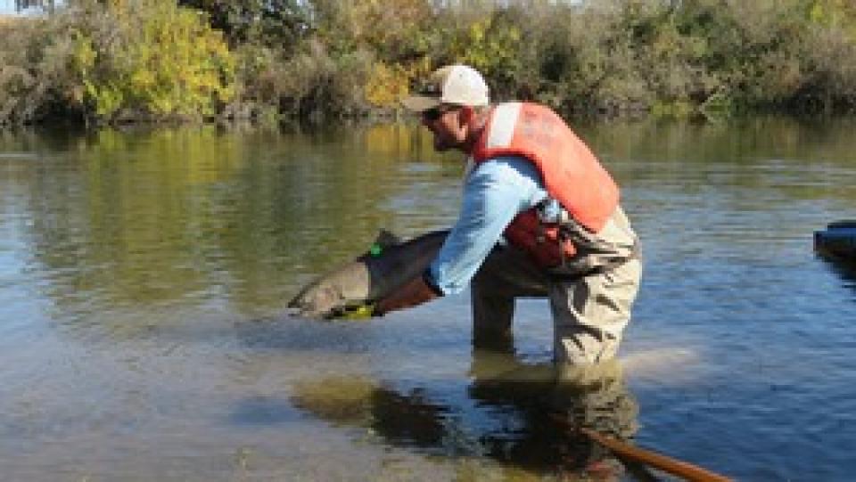
This tour traveled along the San Joaquin River to learn firsthand
about one of the nation’s largest and most expensive river
restoration projects.
The San Joaquin River was the focus of one of the most
contentious legal battles in California water history,
ending in a 2006 settlement between the federal government,
Friant Water Users Authority and a coalition of environmental
groups.
Hampton Inn & Suites Fresno
327 E Fir Ave
Fresno, CA 93720
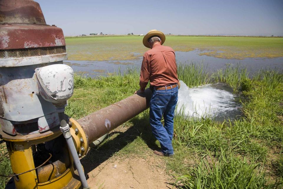
This tour ventured through California’s Central Valley, known as the nation’s breadbasket thanks to an imported supply of surface water and local groundwater. Covering about 20,000 square miles through the heart of the state, the valley provides 25 percent of the nation’s food, including 40 percent of all fruits, nuts and vegetables consumed throughout the country.
Across a sprawling corner of southern Tulare County snug against the Sierra Nevada, a bounty of navel oranges, grapes, pistachios, hay and other crops sprout from the loam and clay of the San Joaquin Valley. Groundwater helps keep these orchards, vineyards and fields vibrant and supports a multibillion-dollar agricultural economy across the valley. But that bounty has come at a price. Overpumping of groundwater has depleted aquifers, dried up household wells and degraded ecosystems.
Innovative efforts to accelerate
restoration of headwater forests and to improve a river for the
benefit of both farmers and fish. Hard-earned lessons for water
agencies from a string of devastating California wildfires.
Efforts to drought-proof a chronically water-short region of
California. And a broad debate surrounding how best to address
persistent challenges facing the Colorado River.
These were among the issues Western Water explored in
2019, and are still worth taking a look at in case you missed
them.
To survive the next drought and meet
the looming demands of the state’s groundwater sustainability
law, California is going to have to put more water back in the
ground. But as other Western states have found, recharging
overpumped aquifers is no easy task.
Successfully recharging aquifers could bring multiple benefits
for farms and wildlife and help restore the vital interconnection
between groundwater and rivers or streams. As local areas around
California draft their groundwater sustainability plans, though,
landowners in the hardest hit regions of the state know they will
have to reduce pumping to address the chronic overdraft in which
millions of acre-feet more are withdrawn than are naturally
recharged.
Bruce Babbitt, the former Arizona
governor and secretary of the Interior, has been a thoughtful,
provocative and sometimes forceful voice in some of the most
high-profile water conflicts over the last 40 years, including
groundwater management in Arizona and the reduction of
California’s take of the Colorado River. In 2016, former
California Gov. Jerry Brown named Babbitt as a special adviser to
work on matters relating to the Sacramento-San Joaquin Delta and
the Delta tunnels plan.
Groundwater helped make Kern County
the king of California agricultural production, with a $7 billion
annual array of crops that help feed the nation. That success has
come at a price, however. Decades of unchecked groundwater
pumping in the county and elsewhere across the state have left
some aquifers severely depleted. Now, the county’s water managers
have less than a year left to devise a plan that manages and
protects groundwater for the long term, yet ensures that Kern
County’s economy can continue to thrive, even with less water.
The whims of political fate decided
in 2018 that state bond money would not be forthcoming to help
repair the subsidence-damaged parts of Friant-Kern Canal, the
152-mile conduit that conveys water from the San Joaquin River to
farms that fuel a multibillion-dollar agricultural economy along
the east side of the fertile San Joaquin Valley.
There’s going to be a new governor
in California next year – and a host of challenges both old and
new involving the state’s most vital natural resource, water.
So what should be the next governor’s water priorities?
That was one of the questions put to more than 150 participants
during a wrap-up session at the end of the Water Education
Foundation’s Sept. 20 Water Summit in Sacramento.
The Sacramento and San Joaquin
rivers are the two major Central Valley waterways that feed the
Delta, the hub of California’s water supply
network. Our last water tours of
2018 will look in-depth at how these rivers are managed and
used for agriculture, cities and the environment. You’ll see
infrastructure, learn about efforts to restore salmon runs and
talk to people with expertise on these rivers.
More than a decade in the making, an
ambitious plan to deal with the vexing problem of salt and
nitrates in the soils that seep into key groundwater basins of
the Central Valley is moving toward implementation. But its
authors are not who you might expect.
An unusual collaboration of agricultural interests, cities, water
agencies and environmental justice advocates collaborated for
years to find common ground to address a set of problems that
have rendered family wells undrinkable and some soil virtually
unusable for farming.
New water storage is the holy grail
primarily for agricultural interests in California, and in 2014
the door to achieving long-held ambitions opened with the passage
of Proposition
1, which included $2.7 billion for the public benefits
portion of new reservoirs and groundwater storage projects. The
statute stipulated that the money is specifically for the
benefits that a new storage project would offer to the ecosystem,
water quality, flood control, emergency response and recreation.
California voters may experience a sense of déjà vu this year when they are asked twice in the same year to consider water bonds — one in June, the other headed to the November ballot.
Both tackle a variety of water issues, from helping disadvantaged communities get clean drinking water to making flood management improvements. But they avoid more controversial proposals, such as new surface storage, and they propose to do some very different things to appeal to different constituencies.
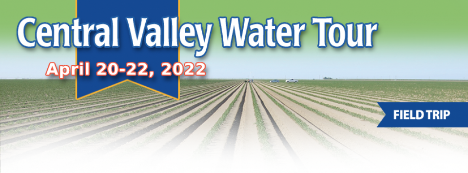
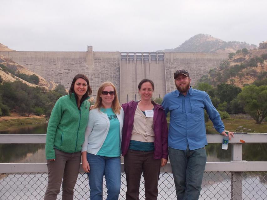
Get a unique view of the San Joaquin Valley’s key dams and
reservoirs that store and transport water on our March Central
Valley Tour.
Our Central Valley
Tour, March 14-16, offers a broad view of water issues
in the San Joaquin Valley. In addition to the farms, orchards,
critical habitat for threatened bird populations, flood bypasses
and a national wildlife refuge, we visit some of California’s
major water infrastructure projects.
Participants of this tour snaked along the San Joaquin River to
learn firsthand about one of the nation’s largest and most
expensive river restoration projects.
The San Joaquin River was the focus of one of the most
contentious legal battles in California water history,
ending in a 2006 settlement between the federal government,
Friant Water Users Authority and a coalition of environmental
groups.
The 2-day, 1-night tour traveled along the river from Friant
Dam near Fresno to the confluence of the Merced River. As it
weaved across an historic farming region, participants learn
about the status of the river’s restoration and how the
challenges of the plan are being worked out.
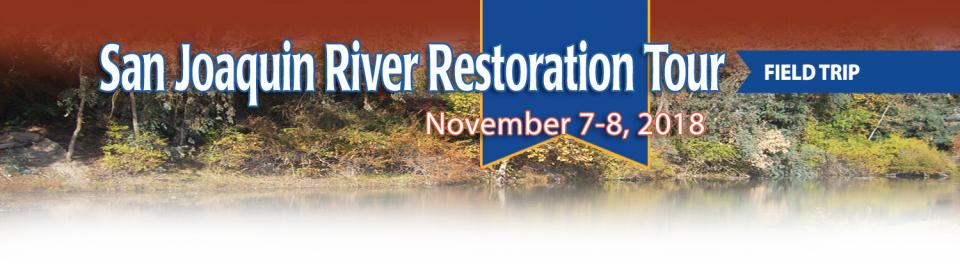
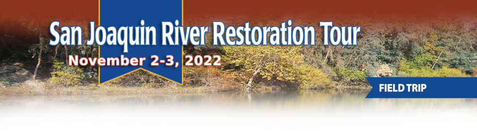
A few tickets are still available for our Nov. 1-2 San Joaquin River
Restoration Tour, a once-a-year educational opportunity to
see the program’s progress first-hand. The tour begins and ends
in Fresno with an overnight stay in Los Banos.
Explore more than 100 miles of Central California’s longest river
while learning about one of the nation’s largest and costliest
river restorations. Our San Joaquin River
Restoration Tour on Nov. 1-2 will feature speakers from key
governmental agencies and stakeholder groups who will explain the
restoration program’s goals and progress.
The Sacramento and San Joaquin are the two major rivers in the
Central Valley that feed the Delta, the hub of
California’s water supply network.
Our last two water tours of 2017 will take in-depth looks at how
these rivers are managed and used for agriculture, cities and the
environment. You’ll see infrastructure, learn about efforts to
restore salmon runs and talk to people with expertise on these
rivers.
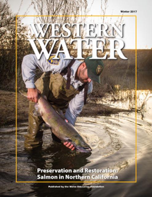
Protecting and restoring California’s populations of threatened
and endangered Chinook salmon and steelhead trout have been a big
part of the state’s water management picture for more than 20
years. Significant resources have been dedicated to helping the
various runs of the iconic fish, with successes and setbacks. In
a landscape dramatically altered from its natural setting,
finding a balance between the competing demands for water is
challenging.
Our water tours give a behind-the-scenes look at major water
issues in California. On our Central Valley Tour, March
8-10, you will visit wildlife habitat areas – some of which are
closed to the public – and learn directly from the experts who
manage them, in addition to seeing farms, large dams and other
infrastructure.
The recent deluge has led to changes in drought conditions in
some areas of California and even public scrutiny of the
possibility that the drought is over. Many eyes are focused on
the San Joaquin Valley, one of the areas hardest hit by reduced
surface water supplies. On our Central Valley Tour, March
8-10, we will visit key water delivery and storage sites in the
San Joaquin Valley, including Friant Dam and Millerton Lake
on the San Joaquin River.
ARkStorm stands for an atmospheric
river (“AR”) that carries precipitation levels expected to occur
once every 1,000 years (“k”). The concept was presented in a 2011
report by the U.S. Geological Survey (USGS) intended to elevate
the visibility of the very real threats to human life, property
and ecosystems posed by extreme storms on the West Coast.
Contaminants exist in water supplies from both natural and
manmade sources. Even those chemicals present without human
intervention can be mobilized from introduction of certain
pollutants from both
point and nonpoint sources.
Both the drought and high nitrate levels in shallow groundwater have necessitated deeper
drilling of new wells in the San Joaquin Valley, only to expose
water with heightened
arsenic levels. Arsenic usually exists in water as arsenate
or arsenite, the latter of which is more frequent in deep lake
sediments or groundwater with little oxygen and is both
more harmful and difficult to remove.
Whiskeytown Lake, a major reservoir in the foothills of the
Klamath Mountains nine miles west of Redding, was
built at the site of one of Shasta County’s first Gold Rush
communities. Whiskeytown, originally called Whiskey Creek
Diggings, was founded in 1849 and named in reference to a whiskey
barrel rolling off a citizen’s pack mule; it may also refer to
miners drinking a barrel per day.
California entered a new era of
groundwater management in 2014 with the passage of the
Sustainable Groundwater Management Act (SGMA), becoming the last
state in the arid West to enact some kind of comprehensive
groundwater
management program.
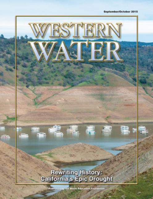
This issue examines the impacts of California’s epic
drought, especially related to water supplies for San Joaquin
Valley rural communities and farmland.
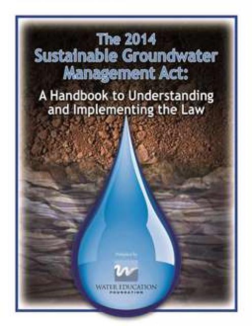
This handbook provides crucial
background information on the Sustainable Groundwater Management
Act, signed into law in 2014 by Gov. Jerry Brown. The handbook
also includes a section on options for new governance.
This 3-day, 2-night tour, which we do every spring,
travels the length of the San Joaquin Valley, giving participants
a clear understanding of the State Water Project and Central
Valley Project.
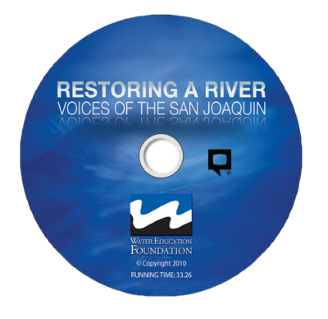
This 30-minute documentary-style DVD on the history and current
state of the San Joaquin River Restoration Program includes an
overview of the geography and history of the river, historical
and current water delivery and uses, the genesis and timeline of
the 1988 lawsuit, how the settlement was reached and what was
agreed to.
This 25-minute documentary-style DVD, developed in partnership
with the California Department of Water Resources, provides an
excellent overview of climate change and how it is already
affecting California. The DVD also explains what scientists
anticipate in the future related to sea level rise and
precipitation/runoff changes and explores the efforts that are
underway to plan and adapt to climate.
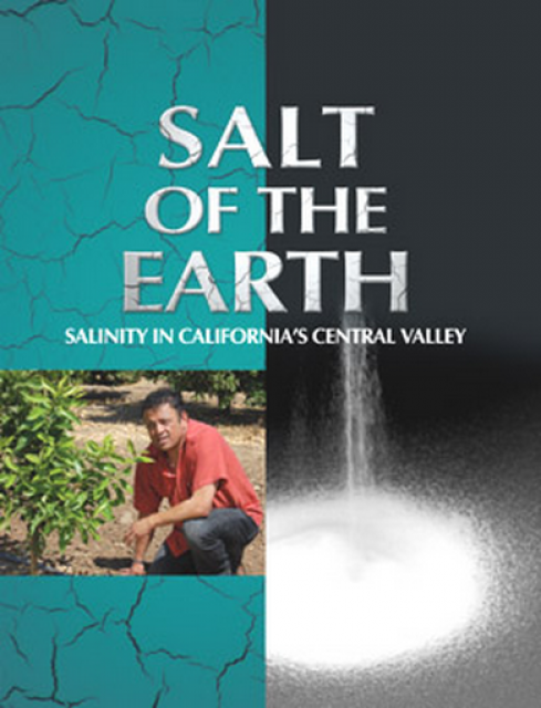
Salt. In a small amount, it’s a gift from nature. But any doctor
will tell you, if you take in too much salt, you’ll start to have
health problems. The same negative effect is happening to land in
the Central Valley. The problem scientists call “salinity” poses
a growing threat to our food supply, our drinking water quality
and our way of life. The problem of salt buildup and potential –
but costly – solutions are highlighted in this 2008 public
television documentary narrated by comedian Paul Rodriguez.
A 20-minute version of the 2008 public television documentary
Salt of the Earth: Salinity in California’s Central Valley. This
DVD is ideal for showing at community forums and speaking
engagements to help the public understand the complex issues
surrounding the problem of salt build up in the Central Valley
potential – but costly – solutions. Narrated by comedian Paul
Rodriquez.
This 3-day, 2-night tour travels the length of the San Joaquin
Valley, giving participants a clear understanding of the State
Water Project and Central Valley Project.
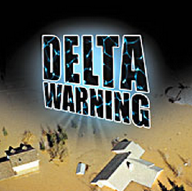
15-minute DVD that graphically portrays the potential disaster
should a major earthquake hit the Sacramento-San Joaquin Delta.
“Delta Warning” depicts what would happen in the event of an
earthquake registering 6.5 on the Richter scale: 30 levee breaks,
16 flooded islands and a 300 billion gallon intrusion of salt
water from the Bay – the “big gulp” – which would shut down the
State Water Project and Central Valley Project pumping plants.
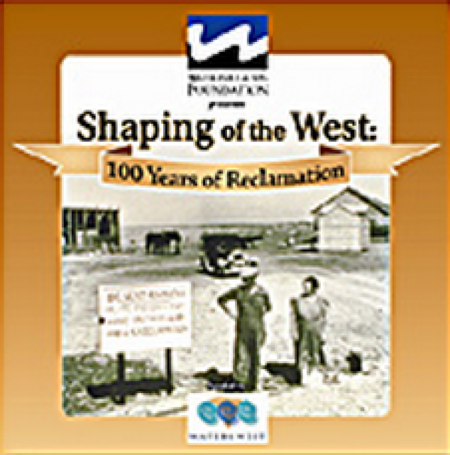
30-minute DVD that traces the history of the U.S. Bureau of
Reclamation and its role in the development of the West. Includes
extensive historic footage of farming and the construction of
dams and other water projects, and discusses historic and modern
day issues.
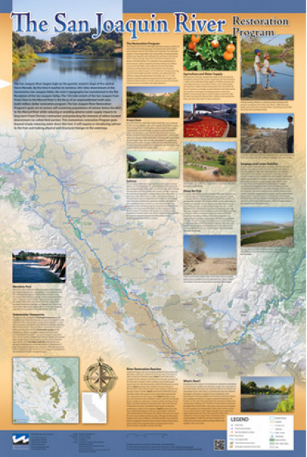
This beautiful 24×36 inch poster, suitable for framing, features
a map of the San Joaquin River. The map text focuses on the San
Joaquin River Restoration Program, which aims to restore flows
and populations of Chinook salmon to the river below Friant Dam
to its confluence with the Merced River. The text discusses the
history of the program, its goals and ongoing challenges with
implementation.
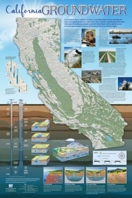
Fashioned after the popular California Water Map, this 24×36-inch
poster was extensively re-designed in 2017 to better illustrate
the value and use of groundwater in California, the main types of
aquifers, and the connection between groundwater and surface
water.
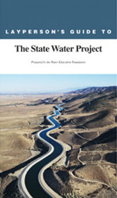
The 24-page Layperson’s Guide to the State Water Project provides
an overview of the California-funded and constructed State Water
Project.
The State Water Project is best known for the 444-mile-long
aqueduct that provides water from the Delta to San Joaquin Valley
agriculture and southern California cities. The guide contains
information about the project’s history and facilities.
The 24-page Layperson’s Guide to Integrated Regional Water
Management (IRWM) is an in-depth, easy-to-understand publication
that provides background information on the principles of IRWM,
its funding history and how it differs from the traditional water
management approach.
The 28-page Layperson’s Guide to Groundwater is an in-depth,
easy-to-understand publication that provides background and
perspective on groundwater. The guide explains what groundwater
is – not an underground network of rivers and lakes! – and the
history of its use in California.
The 24-page Layperson’s Guide to Flood Management explains the
physical flood control system, including levees; discusses
previous flood events (including the 1997 flooding); explores
issues of floodplain management and development; provides an
overview of flood forecasting; and outlines ongoing flood control
projects.
The 24-page Layperson’s Guide to the Central Valley Project
explores the history and development of the federal Central
Valley Project (CVP), California’s largest surface water delivery
system. In addition to the project’s history, the guide describes
the various facilities, operations and benefits the water
project brings to the state along with the CVP
Improvement Act (CVPIA).
A new look for our most popular product! And it’s the perfect
gift for the water wonk in your life.
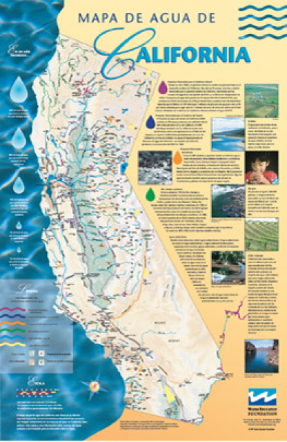
Our 24×36-inch California Water Map is widely known for being the
definitive poster that shows the integral role water plays in the
state. On this updated version, it is easier to see California’s
natural waterways and man-made reservoirs and aqueducts
– including federally, state and locally funded
projects – the wild and scenic rivers system, and
natural lakes. The map features beautiful photos of
California’s natural environment, rivers, water projects,
wildlife, and urban and agricultural uses and the
text focuses on key issues: water supply, water use, water
projects, the Delta, wild and scenic rivers and the Colorado
River.
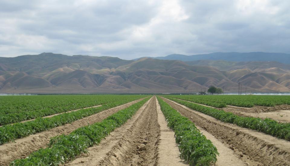
Located in the middle of California, the San Joaquin Valley is
bracketed on both sides by mountain ranges. Long and flat, the
valley’s hot, dry summers are followed by cool, foggy winters
that make it one of the most productive agricultural regions in
the world.
The valley stretches from across mid-California between coastal
ranges in west and the Sierras on the east. The region includes
large cities such as Fresno and Bakersfield, national parks such
as Yosemite and Kings, millions of people, and fertile farmland.
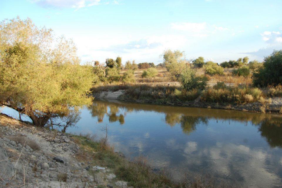
Flowing 366 miles from the Sierra
Nevada to Suisun Bay, the San Joaquin River provides irrigation
water to thousands of acres of San Joaquin Valley farms and
drinking water to some of the valley’s cities. It also is the
focal point for one of the nation’s most ambitious river
restoration projects to revive salmon populations.
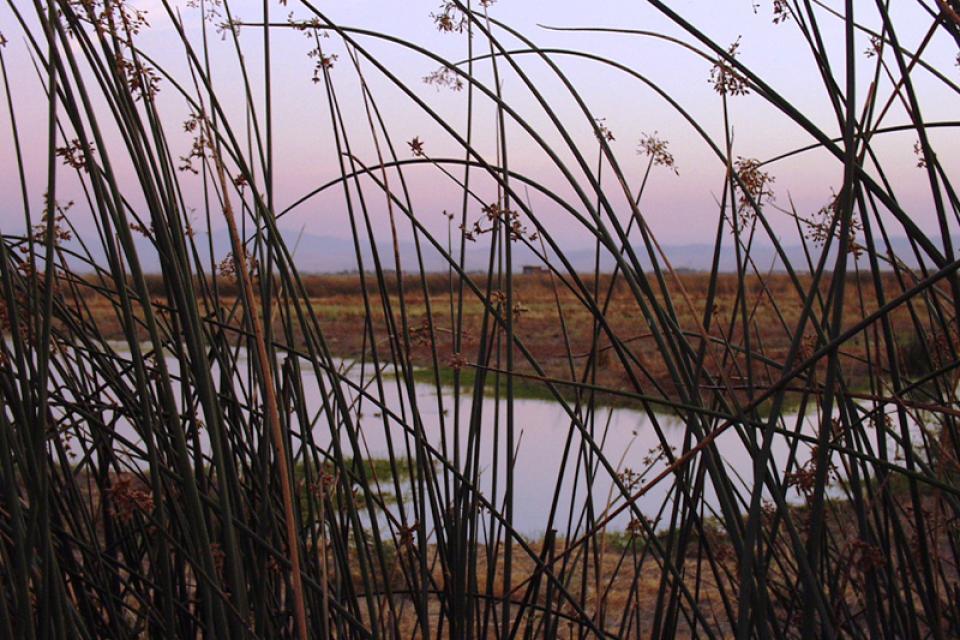
The Pacific Flyway is one of four
major North American migration routes for birds, especially
waterbirds, and stretches from Alaska in the north
to Patagonia in South America.
Each year, birds follow ancestral patterns as they travel the
flyway on their annual north-south migration. Along the way, they
need stopover sites such as wetlands with suitable habitat and
food supplies. In California, 95 percent of historic
wetlands have been lost, yet the Central Valley hosts some of the
world’s largest populations of wintering birds.
The California Aqueduct, a critical part of the State Water
Project, carries water from the Sacramento-San Joaquin
Delta to the San Joaquin Valley and Southern California.
Established as part of a $1.75 billion bond passed by voters in
1960, the 444-mile-long California Aqueduct (formally known as
the Edmund G. Brown California Aqueduct) begins at the Harvey O.
Banks Pumping Plant in the Delta.
It parallels Interstate 5 south to the Tehachapi Mountains.
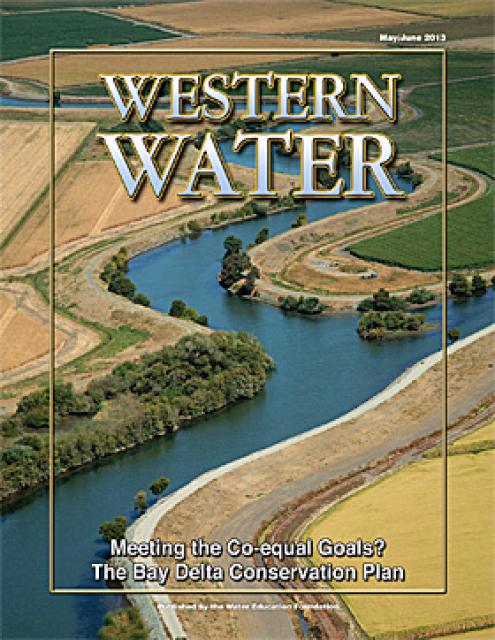
This issue of Western Water looks at the BDCP and the
Coalition to Support Delta Projects, issues that are aimed at
improving the health and safety of the Delta while solidifying
California’s long-term water supply reliability.
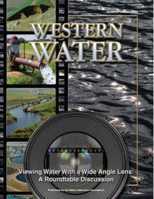
This printed issue of Western Water features a
roundtable discussion with Anthony Saracino, a water resources
consultant; Martha Davis, executive manager of policy development
with the Inland Empire Utilities Agency and senior policy advisor
to the Delta Stewardship Council; Stuart Leavenworth, editorial
page editor of The Sacramento Bee and Ellen Hanak, co-director of
research and senior fellow at the Public Policy Institute of
California.
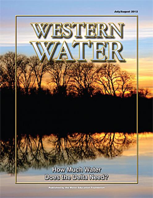
This printed issue of Western Water examines the issues
associated with the State Water Board’s proposed revision of the
water quality Bay-Delta Plan, most notably the question of
whether additional flows are needed for the system, and how they
might be provided.
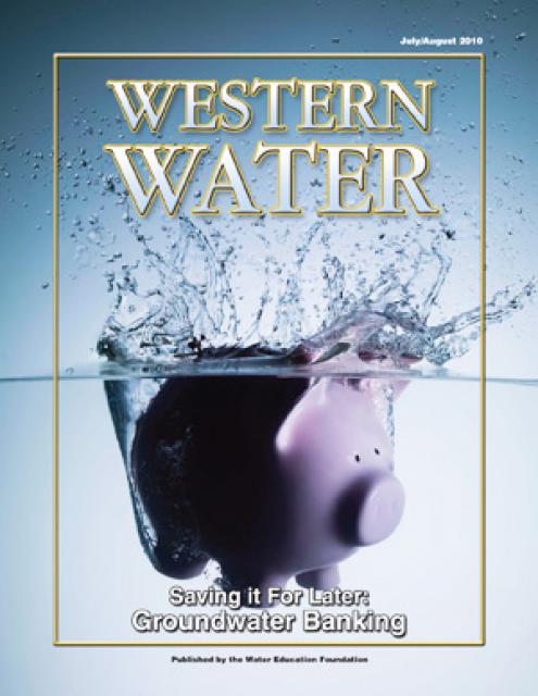
This printed issue of Western Water examines
groundwater banking, a water management strategy with appreciable
benefits but not without challenges and controversy.
This printed copy of Western Water examines the challenges facing
small water systems, including drought preparedness, limited
operating expenses and the hurdles of complying with costlier
regulations. Much of the article is based on presentations at the
November 2007 Small Systems Conference sponsored by the Water
Education Foundation and the California Department of Water
Resources.
This Western Water looks at proposed new measures to deal with
the century-old problem of salinity with a special focus on San
Joaquin Valley farms and cities.


")
")
")
")
")
")
")
")
")
")
")
")
")
")