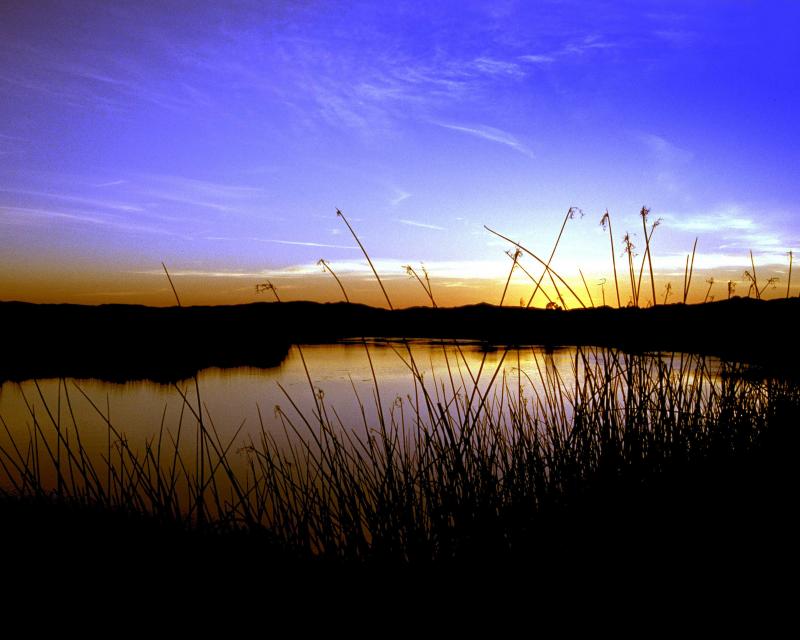
The San Joaquin River, which helps
drain California’s Central Valley, has been negatively impacted
by construction of dams, inadequate streamflows and poor water
quality. Efforts are now underway to restore the river and
continue providing agricultural lands with vital irrigation,
among other water demands.
After an 18-year lawsuit to restore water flows to a 60-mile dry
stretch of river and to boost the dwindling salmon populations,
the San Joaquin River Restoration Settlement is underway.
Water releases are now used to restore the San Joaquin River and
to provide habitat for naturally-reproducing populations of
self-sustaining Chinook salmon and other fish in the San Joaquin
River. Long-term efforts also include measures to reduce or avoid
adverse water supply impacts from the restoration flows.
It’s hard to envision the vibrant landscape that the Mormon
Slough could become if Restore the Delta’s community-focused
efforts finally bear fruit. The 6.5 mile slough is mostly dry
on its westerly trek from about two miles east of Highway 99
through central Stockton to the San Joaquin River. It
used to be a natural drainage channel for excess water from the
Calaveras River but was intentionally cut off in 1910 …. With
$1.2 million in funding from California Jobs First through
North Valley Thrive, Restore the Delta has held 70 community
meetings, knocked on 3,000 doors and done an analysis of
possibilities. … [Artie] Valencia (Flood and Land Restoration
Manager for Restore the Delta) said the Mormon Slough
project is a prime example of how a locally driven project can
advance both community needs and broader Delta conservation
goals, which is why Restore the Delta focused on building its
extensive partnerships.
Continued dredging issues related to U.S. Army Corps of
Engineer (USACE) practices have frustrated the Port of
Stockton’s ability to reach its legally mandated 35-foot draft
undermining waterborne transport volumes of import and export
cargoes, according to Kirk DeJesus, Executive Director, Port of
Stockton. Resolving these challenges will increase cargo
volumes and growth, he said. In an interview with AJOT on
April 20th, DeJesus described problems getting the US Army
Corps of Engineers San Francisco District to fully dredge the
Stockton Ship Channel which stretches along the San Joaquin
River to Stockton, an inland river port that is a major
import/export link for warehouses and agricultural growers in
California’s San Joaquin Valley.
… The Fresno City Council on Thursday authorized an
application for $5.1 million in state climate-bond money toward
a long-planned extension of the Lewis S. Eaton Trail into the
River West area along the San Joaquin River. The grant — a
fraction of the project’s roughly $23 million construction
estimate — now goes to the San Joaquin River Conservancy’s
board, which votes Wednesday on whether to award it.
… Beyond the Highway 41 underpass lies a 358-acre
stretch of public land along the San Joaquin River — a riverine
patchwork of grassland, ponds, riparian woodland, legacy
gravel-mining pits and fenced stormwater basins. … River West
would extend the existing Eaton Trail roughly 2.4 miles to
Spano Park — giving Fresno residents much-needed access to all
that beauty.
The 24-page Layperson’s Guide to the Delta explores the competing
uses and demands on California’s Sacramento-San Joaquin
Delta. The 11th edition examines this critical
water hub and its myriad challenges. The 2025 version
includes the latest information on the tunnel project, habitat
restoration efforts, climate change impacts and an updated
section on the legal and political facets of the Delta.
Growing up in the shadow of the
Rocky Mountains, Andrew Schwartz never missed an opportunity to
play in – or study – a Colorado snowstorm. During major
blizzards, he would traipse out into the icy wind and heavy
drifts of snow pretending to be a scientist researching in
Antarctica.
Decades later, still armed with an obsession for extreme weather,
Schwartz has landed in one of the snowiest places in the West,
leading a research lab whose mission is to give California water
managers instant information on the depth and quality of snow
draping the slopes of the Sierra Nevada.
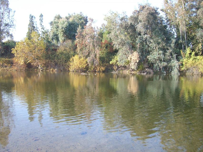
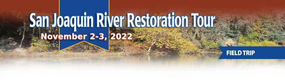
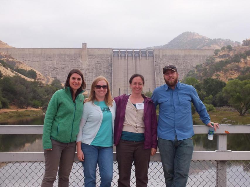
This tour traveled along the San Joaquin River to learn firsthand
about one of the nation’s largest and most expensive river
restoration projects.
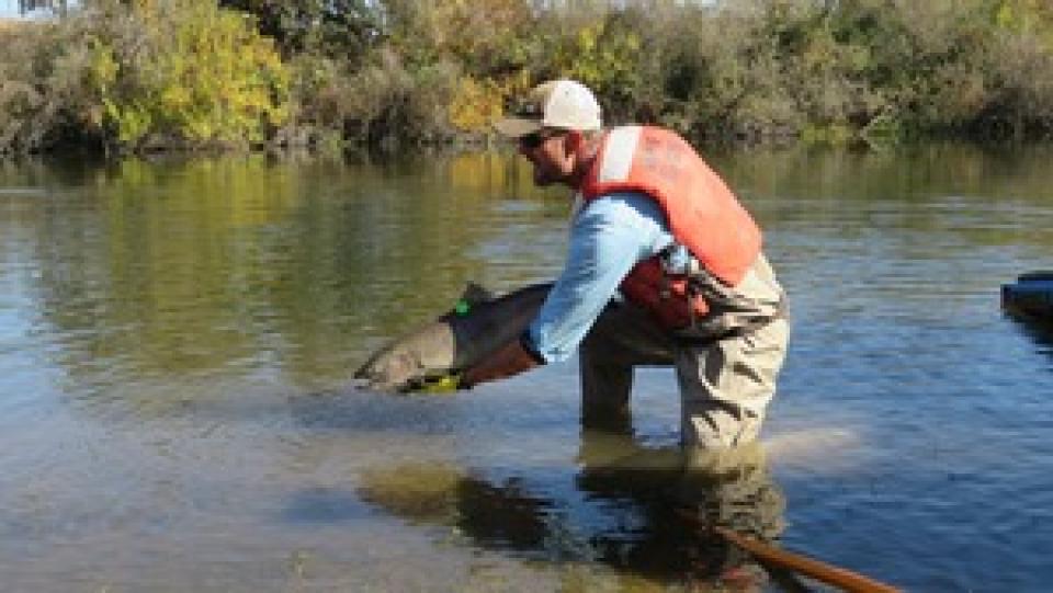
The San Joaquin River was the focus of one of the most
contentious legal battles in California water history,
ending in a 2006 settlement between the federal government,
Friant Water Users Authority and a coalition of environmental
groups.
Hampton Inn & Suites Fresno
327 E Fir Ave
Fresno, CA 93720
This tour ventured through California’s Central Valley, known as the nation’s breadbasket thanks to an imported supply of surface water and local groundwater. Covering about 20,000 square miles through the heart of the state, the valley provides 25 percent of the nation’s food, including 40 percent of all fruits, nuts and vegetables consumed throughout the country.
Land and waterway managers labored
hard over the course of a century to control California’s unruly
rivers by building dams and levees to slow and contain their
water. Now, farmers, environmentalists and agencies are undoing
some of that work as part of an accelerating campaign to restore
the state’s major floodplains.
Voluntary agreements in California
have been touted as an innovative and flexible way to improve
environmental conditions in the Sacramento-San Joaquin Delta
and the rivers that feed it. The goal is to provide river flows
and habitat for fish while still allowing enough water to be
diverted for farms and cities in a way that satisfies state
regulators.
California is chock full of rivers and creeks, yet the state’s network of stream gauges has significant gaps that limit real-time tracking of how much water is flowing downstream, information that is vital for flood protection, forecasting water supplies and knowing what the future might bring.
That network of stream gauges got a big boost Sept. 30 with the signing of SB 19. Authored by Sen. Bill Dodd (D-Napa), the law requires the state to develop a stream gauge deployment plan, focusing on reactivating existing gauges that have been offline for lack of funding and other reasons. Nearly half of California’s stream gauges are dormant.
One of California Gov. Gavin
Newsom’s first actions after taking office was to appoint Wade
Crowfoot as Natural Resources Agency secretary. Then, within
weeks, the governor laid out an ambitious water agenda that
Crowfoot, 45, is now charged with executing.
That agenda includes the governor’s desire for a “fresh approach”
on water, scaling back the conveyance plan in the Sacramento-San
Joaquin Delta and calling for more water recycling, expanded
floodplains in the Central Valley and more groundwater recharge.
Bruce Babbitt, the former Arizona
governor and secretary of the Interior, has been a thoughtful,
provocative and sometimes forceful voice in some of the most
high-profile water conflicts over the last 40 years, including
groundwater management in Arizona and the reduction of
California’s take of the Colorado River. In 2016, former
California Gov. Jerry Brown named Babbitt as a special adviser to
work on matters relating to the Sacramento-San Joaquin Delta and
the Delta tunnels plan.
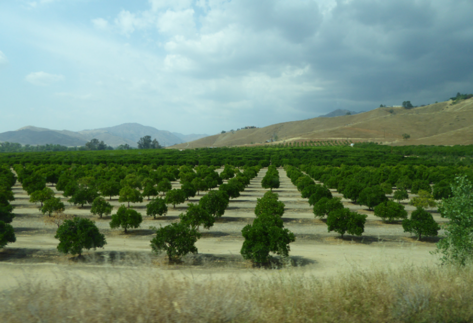
The San Joaquin Valley, known as the
nation’s breadbasket, grows a cornucopia of fruits, nuts and
other agricultural products.
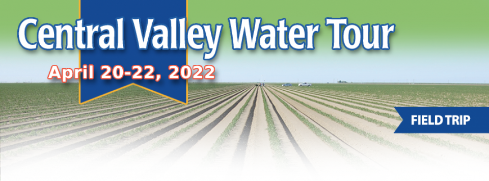
During our three-day Central Valley Tour April
3-5, you will meet farmers who will explain how they prepare
the fields, irrigate their crops and harvest the produce that
helps feed the nation and beyond. We also will drive through
hundreds of miles of farmland and visit the rivers, dams,
reservoirs and groundwater wells that provide the water.
The whims of political fate decided
in 2018 that state bond money would not be forthcoming to help
repair the subsidence-damaged parts of Friant-Kern Canal, the
152-mile conduit that conveys water from the San Joaquin River to
farms that fuel a multibillion-dollar agricultural economy along
the east side of the fertile San Joaquin Valley.
The Sacramento and San Joaquin
rivers are the two major Central Valley waterways that feed the
Delta, the hub of California’s water supply
network. Our last water tours of
2018 will look in-depth at how these rivers are managed and
used for agriculture, cities and the environment. You’ll see
infrastructure, learn about efforts to restore salmon runs and
talk to people with expertise on these rivers.
New water storage is the holy grail
primarily for agricultural interests in California, and in 2014
the door to achieving long-held ambitions opened with the passage
of Proposition
1, which included $2.7 billion for the public benefits
portion of new reservoirs and groundwater storage projects. The
statute stipulated that the money is specifically for the
benefits that a new storage project would offer to the ecosystem,
water quality, flood control, emergency response and recreation.
For more than 100 years, invasive
species have made the Sacramento-San Joaquin Delta their home,
disrupting the ecosystem and costing millions of dollars annually
in remediation.
The latest invader is the nutria, a large rodent native to South
America that causes concern because of its propensity to devour
every bit of vegetation in sight and destabilize levees by
burrowing into them. Wildlife officials are trapping the animal
and trying to learn the extent of its infestation.
Along the banks of the
Sacramento-San Joaquin Delta in Oakley, about 50 miles southwest
of Sacramento, is a park that harkens back to the days when the
Delta lured Native Americans, Spanish explorers, French fur
trappers, and later farmers to its abundant wildlife and rich
soil.
That historical Delta was an enormous marsh linked to the two
freshwater rivers entering from the north and south, and tidal
flows coming from the San Francisco Bay. After the Gold Rush,
settlers began building levees and farms, changing the landscape
and altering the habitat.
Does California need to revamp the way in which water is dedicated to the environment to better protect fish and the ecosystem at large? In the hypersensitive world of California water, where differences over who gets what can result in epic legislative and legal battles, the idea sparks a combination of fear, uncertainty and promise.
Saying that the way California manages water for the environment “isn’t working for anyone,” the Public Policy Institute of California (PPIC) shook things up late last year by proposing a redesigned regulatory system featuring what they described as water ecosystem plans and water budgets with allocations set aside for the environment.
Participants of this tour snaked along the San Joaquin River to
learn firsthand about one of the nation’s largest and most
expensive river restoration projects.
The San Joaquin River was the focus of one of the most
contentious legal battles in California water history,
ending in a 2006 settlement between the federal government,
Friant Water Users Authority and a coalition of environmental
groups.


")
")
")
 and temperature. This gauge near downtown Sacramento measures water depth. (Source: California Department of Water Resources)")
")
")
")
")
")
")