The Mexican Water Treaty of 1944 committed the U.S. to deliver
1.5 million acre-feet of water to Mexico on an annual basis, plus
an additional 200,000 acre-feet under surplus conditions. The
treaty is overseen by the International Boundary and Water
Commission.
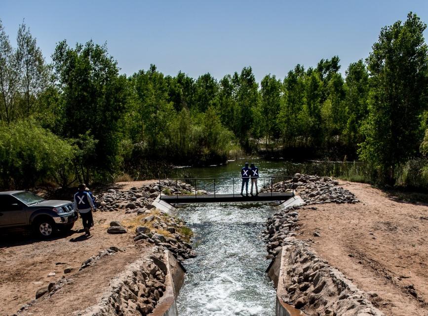
Colorado River water is delivered to Mexico at Morelos Dam,
located 1.1 miles downstream from where the California-Baja
California land boundary intersects the river. The river’s
natural terminus is the Gulf of California in Mexico, but because
of the dams and diversion facilities throughout the Colorado
River Basin, natural flow rarely reaches the Gulf. Water diverted
at Morelos Dam is primarily used to irrigate Mexicali Valley
farmland, and also supplies the cities of Mexicali, Tecate and
Tijuana.
E. coli levels in the Tijuana River watershed are often 30,000
times higher than the federal standard for freshwater bodies,
according to a new report San Diego Coastkeeper released last
week. And chemicals researchers said they can’t find thresholds
for because they’re not expected to be found in water are also
being detected in the binational river. … Coastkeeper’s
findings come ahead of what could be another public health
report on the Tijuana River crisis. San Diego County announced
last week that it’s launching a second survey with the Centers
for Disease Control and Prevention (CDC). … CDC and
county volunteers conducting the survey are expected to select
households randomly Sept. 17 and 18 between 2 p.m. and 7 p.m.
and Saturday from 10 a.m. to 7 p.m.
A steady stream of industrial chemicals, heavy metals and
pesticides are flowing into the Tijuana River on a regular
basis, according to a new water quality report from San Diego
Coastkeeper, a pattern the nonprofit’s executive director says
points to ongoing, unregulated discharges from
manufacturing plants across the border. … The
report, released this month, documents a year of monthly
sampling at four sites in the lower Tijuana River watershed,
tracking sewage contamination, heavy metals, industrial
chemicals, pesticides and other pollutants flowing
across the border from Mexico into the river, its estuary and
the Pacific Ocean. … E. coli levels at all four sites
exceeded the laboratory’s measurable range for most of the
year, according to the report.
Water officials from the United States and Mexico have signed a
new agreement for sharing the Colorado River. Mexico will take
less water from the river under the new deal, but gain a degree
of certainty about its ability to access a shrinking river with
a shaky future. Expert onlookers are heralding the deal
as a success and a rare example of cross-border
collaboration. They said the cuts are necessary in
response to a severely depleted Colorado River. … A
previous agreement from 2017 will expire at the end of this
year. The new one will be in effect from the beginning of 2027
to the end of 2028. For that term, Mexico will take larger cuts
than it has in the past. The new deal reduces Mexico’s
share of the Colorado River by 250,000 acre-feet, about 17% of
its original allocation from the Colorado River.
A year ago, Lee Zeldin, head of the U.S. Environmental
Protection Agency (EPA), visited the Tijuana River, one
of the nation’s most polluted rivers, and vowed to act
urgently to stop the crisis. Now, the federal agency is
committing to bringing the same sense of urgency to
another heavily polluted river more than 100 miles east of the
San Diego-Mexico border in Imperial Valley. “Our
commitment here to you is that we’re here to do the same,” Mike
Martucci, acting regional administrator for EPA’s Region 9,
said at a recent roundtable in Calexico. The agency and the
U.S. International Boundary and Water Commission (IBWC) hosted
the meeting last month to announce their latest efforts to stop
the decades-long, cross-border problem.
Learn the history and challenges facing the West’s most dramatic
and developed river.
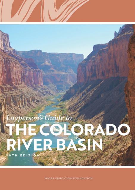
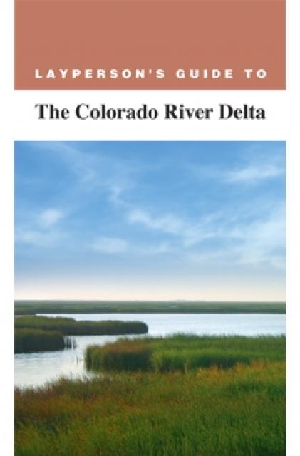
The Layperson’s Guide to the Colorado River Basin introduces the
1,450-mile river that sustains 40 million people and millions of
acres of farmland spanning seven states and parts of northern
Mexico.
The 28-page primer explains how the river’s water is shared and
managed as the Southwest transitions to a hotter and drier
climate.
Martha Guzman recalls those awful
days working on water and other issues as a deputy legislative
secretary for then-Gov. Jerry Brown. California was mired in a
recession and the state’s finances were deep in the red. Parks
were cut, schools were cut, programs were cut to try to balance a
troubled state budget in what she remembers as “that terrible
time.”
She now finds herself in a strikingly different position: As
administrator of the U.S. Environmental Protection Agency’s
Region 9, she has a mandate to address water challenges across
California, Nevada, Arizona and Hawaii and $1 billion to help pay
for it. It is the kind of funding, she said, that is usually
spread out over a decade. Guzman called it the “absolutely
greatest opportunity.”
Water is flowing once again
to the Colorado River’s delta in Mexico, a vast region that
was once a natural splendor before the iconic Western river was
dammed and diverted at the turn of the last century, essentially
turning the delta into a desert.
In 2012, the idea emerged that water could be intentionally sent
down the river to inundate the delta floodplain and regenerate
native cottonwood and willow trees, even in an overallocated
river system. Ultimately, dedicated flows of river water were
brokered under cooperative
efforts by the U.S. and Mexican governments.
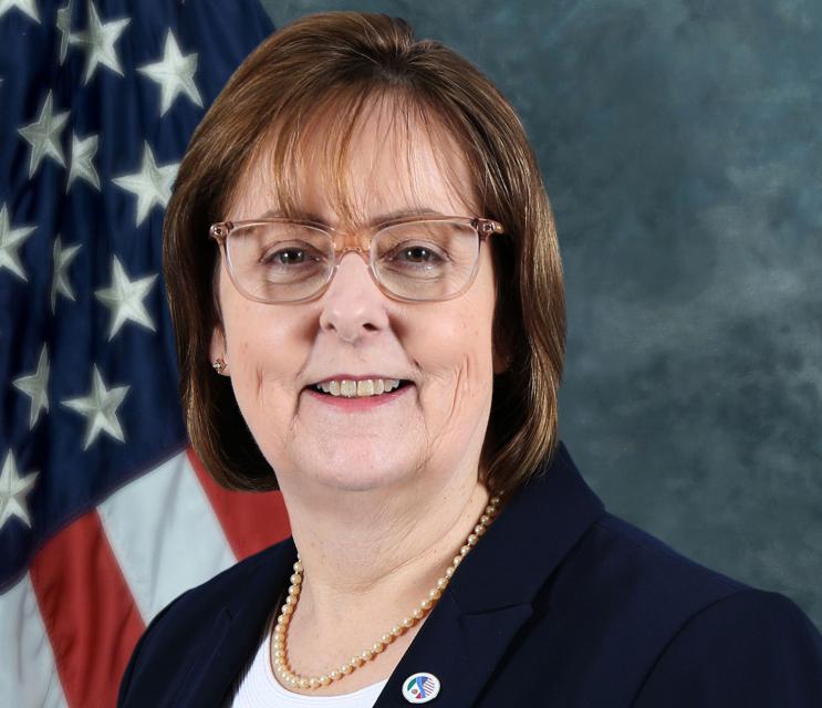
For the bulk of her career, Jayne
Harkins has devoted her energy to issues associated with the
management of the Colorado River, both with the U.S. Bureau of
Reclamation and with the Colorado River Commission of Nevada.
Now her career is taking a different direction. Harkins, 58, was
appointed by President Trump last August to take the helm of the
United States section of the U.S.-Mexico agency that oversees
myriad water matters between the two countries as they seek to
sustainably manage the supply and water quality of the Colorado
River, including its once-thriving Delta in Mexico, and other
rivers the two countries share. She is the first woman to be
named the U.S. Commissioner of the International Boundary and
Water Commission for either the United States or Mexico in the
commission’s 129-year history.
Nowhere is the domino effect in
Western water policy played out more than on the Colorado River,
and specifically when it involves the Lower Basin states of
California, Nevada and Arizona. We are seeing that play out now
as the three states strive to forge a Drought Contingency Plan.
Yet that plan can’t be finalized until Arizona finds a unifying
voice between its major water players, an effort you can read
more about in the latest in-depth article of Western Water.
Even then, there are some issues to resolve just within
California.
It’s high-stakes time in Arizona. The state that depends on the
Colorado River to help supply its cities and farms — and is
first in line to absorb a shortage — is seeking a unified plan
for water supply management to join its Lower Basin neighbors,
California and Nevada, in a coordinated plan to preserve water
levels in Lake Mead before
they run too low.
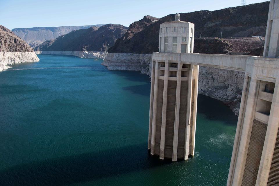
If the lake’s elevation falls below 1,075 feet above sea level,
the secretary of the Interior would declare a shortage and
Arizona’s deliveries of Colorado River water would be reduced by
320,000 acre-feet. Arizona says that’s enough to serve about 1
million households in one year.
The Colorado River Delta once spanned nearly 2 million acres and
stretched from the northern tip of the Gulf of California in
Mexico to Southern California’s Salton Sea. Today it’s one-tenth
that size, yet still an important estuary, wildlife habitat and
farming region even though Colorado River flows rarely reach the
sea.
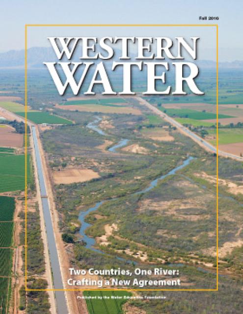
This issue of Western Water examines the ongoing effort
between the United States and Mexico to develop a
new agreement to the 1944 Treaty that will continue the
binational cooperation on constructing Colorado River
infrastructure, storing water in Lake Mead and providing instream
flows for the Colorado River Delta.
As vital as the Colorado River is to the United States and
Mexico, so is the ongoing process by which the two countries
develop unique agreements to better manage the river and balance
future competing needs.
The prospect is challenging. The river is over allocated as urban
areas and farmers seek to stretch every drop of their respective
supplies. Since a historic treaty between the two countries was
signed in 1944, the United States and Mexico have periodically
added a series of arrangements to the treaty called minutes that
aim to strengthen the binational ties while addressing important
water supply, water quality and environmental concerns.
California’s little-known New River has been called one of North
America’s most polluted. A closer look reveals the New River is
full of ironic twists: its pollution has long defied cleanup, yet
even in its degraded condition, the river is important to the
border economies of Mexicali and the Imperial Valley and a
lifeline that helps sustain the fragile Salton Sea ecosystem.
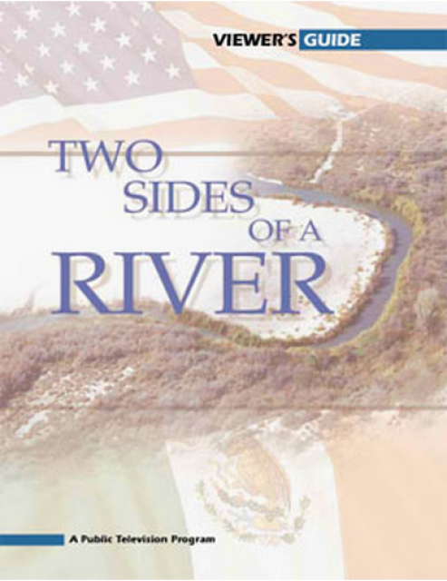
Now, after decades of inertia on its pollution problems, the New
River has emerged as an important test of binational cooperation
on border water issues. These issues were profiled in the 2004
PBS documentary Two Sides of a River.
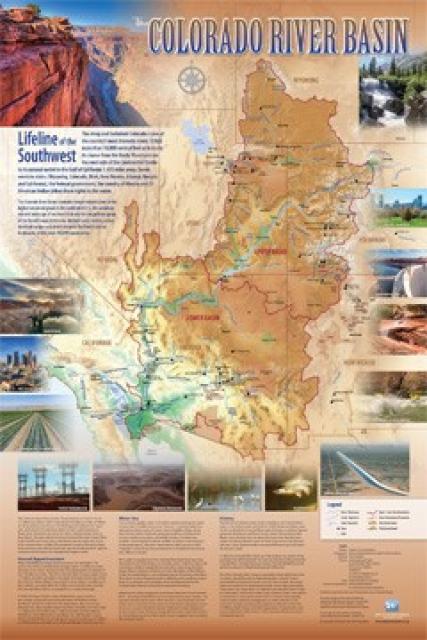
Redesigned in 2017, this beautiful map depicts the seven
Western states that share the Colorado River with Mexico. The
Colorado River supplies water to nearly 40 million people in
Arizona, California, Colorado, Nevada, New Mexico, Utah, Wyoming
and Mexico. Text on this beautiful, 24×36-inch map, which is
suitable for framing, explains the river’s apportionment, history
and the need to adapt its management for urban growth and
expected climate change impacts.
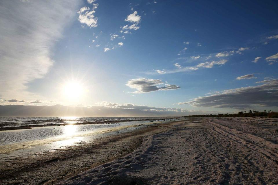
As part of the historic Colorado
River Delta, the Salton Sea regularly filled and dried for
thousands of years due to its elevation of 237 feet below
sea level.
The most recent version of the Salton Sea was formed in 1905 when
the Colorado River broke
through a series of dikes and flooded the seabed for two years,
creating California’s largest inland body of water. The
Salton Sea, which is saltier than the Pacific Ocean, includes 130
miles of shoreline and is larger than Lake Tahoe.
The Mexican Water Treaty of 1944 committed the U.S. to deliver
1.5 million acre-feet of water to Mexico on an annual basis, plus
an additional 200,000 acre-feet under surplus conditions. The
treaty is overseen by the International Boundary and Water
Commission.
Colorado River water is delivered to Mexico at Morelos Dam,
located 1.1 miles downstream from where the California-Baja
California land boundary intersects the river between the town of
Los Algodones in northwestern Mexico and Yuma County, Ariz.
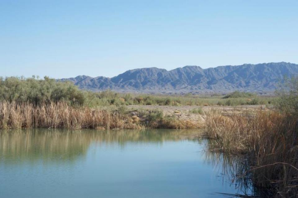
The Colorado River Delta is located
at the natural terminus of the Colorado River at the Gulf of
California, just south of the U.S.-Mexico border. The desert
ecosystem was formed by silt flushed downstream from the Colorado
and fresh and brackish water mixing at the Gulf.
The Colorado River Delta once covered 9,650 square miles but has
shrunk to less than 1 percent of its original size due to
human-made water diversions.
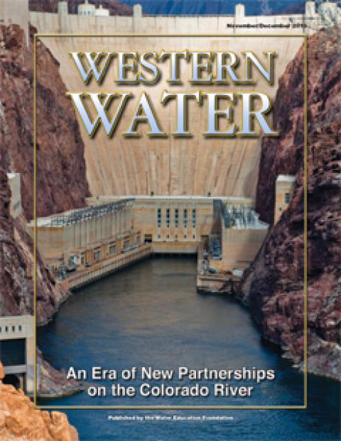
This printed issue of Western Water examines how the various
stakeholders have begun working together to meet the planning
challenges for the Colorado River Basin, including agreements
with Mexico, increased use of conservation and water marketing,
and the goal of accomplishing binational environmental
restoration and water-sharing programs.
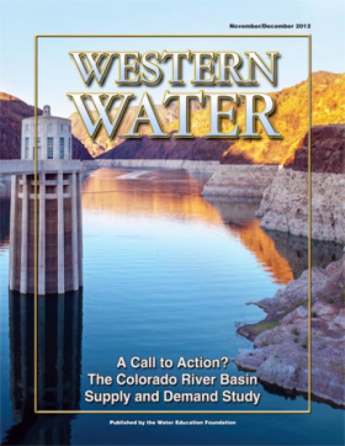
This printed issue of Western Water examines the
Colorado River Basin Water Supply and Demand Study and what its
finding might mean for the future of the lifeblood of the
Southwest.
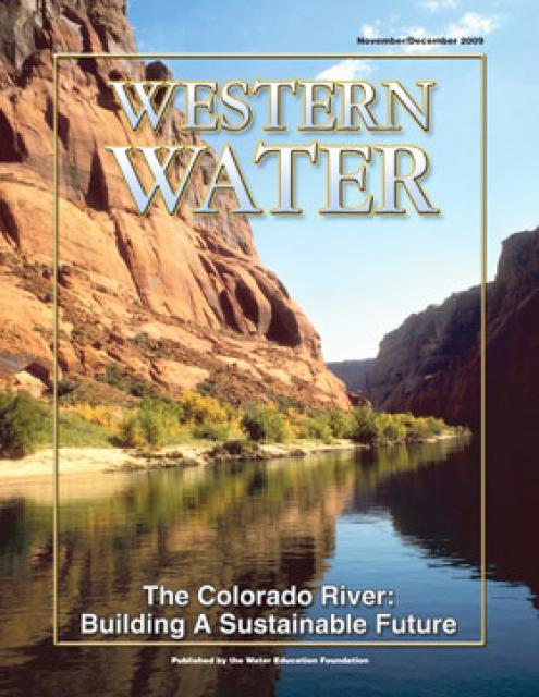
This printed issue of Western Water explores some of the major
challenges facing Colorado River stakeholders: preparing for
climate change, forging U.S.-Mexico water supply solutions and
dealing with continued growth in the basins states. Much of the
content for this issue of Western Water came from the in-depth
panel discussions at the September 2009 Colorado River Symposium.
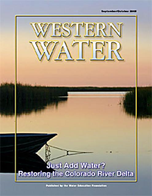
This printed copy of Western Water examines the Colorado River
Delta, its ecological significance and the lengths to which
international, state and local efforts are targeted and achieving
environmental restoration while recognizing the needs of the
entire river’s many users.