Unlike California’s majestic rivers and massive dams and
conveyance systems, groundwater is out of sight and underground,
though no less plentiful. The state’s enormous cache of
underground water is a great natural resource and has contributed
to the state becoming the nation’s top agricultural producer and
leader in high-tech industries.
Groundwater is also increasingly relied upon by growing cities
and thirsty farms, and it plays an important role in the future
sustainability of California’s overall water supply. In an
average year, roughly 40 percent of California’s water supply
comes from groundwater.
A new era of groundwater management began in 2014 with the
Sustainable Groundwater Management Act, which requires local
and regional agencies to develop and implement sustainable
groundwater management plans with the state as the backstop.
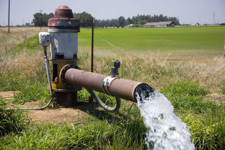
A ribbon-cutting ceremony for a newly built recharge basin in
Fresno is scheduled for Thursday, June 18, at 9 a.m. The Fresno
Irrigation District completed construction of the Carter Bybee
Groundwater Recharge Basin, a 35-acre basin that will sink an
average of 840 acre-feet of water annually. The basin is in the
North Kings Groundwater Sustainability Agency (GSA).
… The $6 million project was funded through the
Department of Water Resources’ (DWR) Sustainable Groundwater
Management Act (SGMA) funds, the U.S. Bureau of Reclamation’s
drought program and the district’s land assessments. The basin
is expected to aid the district and the GSA by increasing water
supply and improving groundwater quality in the region as part
of SGMA, which mandates local entities bring aquifers into
balance by 2040.
Some property owners above Napa Valley’s 72-square-mile
groundwater subbasin will see a new fee on their property tax
bills in December. As part of the Napa Valley Subbasin
Groundwater Sustainability Plan, Napa County mailed
informational postcards this past week to subbasin property
owners and groundwater users, encouraging them to review
information about the groundwater fee that will range
anywhere from $38 to $129 per acre per year.
… Under California’s Sustainable Groundwater Management
Act — a state law requiring local agencies to sustainably
manage groundwater — the fee will fund water monitoring,
reporting, planning and compliance, but not the actual use of
the groundwater.
Subsidence from over pumping is still a problem in the Tulare
Lake subbasin covering most of Kings County. Opinions on how
much sinking is too much are still sharply divided. As are
views on how much pumping is too much and whether groundwater
can be moved from one area to another. Yet, the El Rico
Groundwater Sustainability Agency (GSA) voted June 9 on several
measures it expects will reunite the fractured region. That
includes an effort to write a single, subbasin-wide groundwater
plan rather than each of the five GSAs writing their own.
What’s changed? One man was fired from a water district in the
northern reaches of the county.
Some farmers in southern Tulare County – where
excessive groundwater pumping has already caused
hundreds of millions in damage to the Friant-Kern
Canal – are back to pumping like crazy while there’s a
gap in oversight. It hasn’t gone unnoticed. “They have got
to be serious about stopping the pumping,” said Jeevan Muhar,
general manager of Arvin-Edison Water Storage District
Groundwater Sustainability Agency. “It needs to stop for the
canal to function as it is supposed to.” The “they” Muhar
referred to is the Tule East Groundwater Sustainability Agency
(GSA), which took over a large chunk of the Tule subbasin after
its predecessor, Eastern Tule GSA, folded. But there’s not
much that can be done right now as Tule East is still in its
formation stages.
For the second time in two months, a Superior Court judge has
blocked separate efforts by the Arizona Department of Water
Resources to limit groundwater pumping in the rapidly
growing Phoenix area. On Tuesday, Judge Scott Blaney
of Maricopa County tossed out a rule that established an ADWR
program allowing cities and other water providers to approve
new development in areas the state believes are short of
groundwater if they replace 25% of the groundwater they use
with an alternative water supply. This follows Blaney’s April
ruling that overturned ADWR’s 2023 decision to stop allowing
new homes to be built in much of the Phoenix area that rely on
groundwater. In both cases, Blaney ruled that the state
agency exceeded its legal authority, as spelled out in the 1980
Groundwater Management Act and subsequent regulations.
A Kings County Judge may decide [this] week whether to
allow a lawsuit by the Kings County Farm Bureau to move to the
next phase in its quest to prove the State Water Resources
Control Board overstepped its authority when it placed
the region on probation in 2024 for lacking an adequate
groundwater plan. The Farm Bureau is also
disputing what it says was an improper blanket denial by the
Water Board of exemptions for some local agencies from those
probationary measures, which require farmers to meter and
register wells at $300 each, report extractions and pay the
state $20 per acre foot pumped. At a June 3 hearing, Kings
County Superior Court Judge Robert Burns said he may rule by
June 11 on whether to start the discovery process, where both
sides seek documents. If he does not issue a ruling, the
parties will meet July 2 to determine next steps.
At Metropolitan Water District’s May Imported Water
Subcommittee meeting, Christopher Martin, executive policy
advisor for the State Water Project at the California
Department of Water Resources, outlined the extent of
subsidence along the California Aqueduct, the state’s response
strategy, planned corrective measures, and the funding now
being assembled for repairs. Subsidence occurs when groundwater
pumping lowers water levels and reduces pore pressure in the
aquifer system, causing the fine-grained clay and silt layers
in the sediments to compact. … Because the sinking is
often uneven from place to place, it creates differential
subsidence that can distort the slope and freeboard of
infrastructure such as the California Aqueduct, reducing
conveyance capacity and increasing repair needs.
A recommendation to toss out a restriction for how far
groundwater can be moved out of the South Fork Kings
Groundwater Sustainability Agency (GSA) will be considered at
the board’s next meeting on June 18. The recommendation was
made during the board’s May 21 meeting after South Fork was
repeatedly threatened with a lawsuit by John Vidovich, who
controls Sandridge Partners, a large landowner in the GSA. The
export restriction, which limits movement of groundwater pumped
out of South Fork to within one mile of its boundaries, is part
of the GSA’s allocation policy, or how much growers can pump.
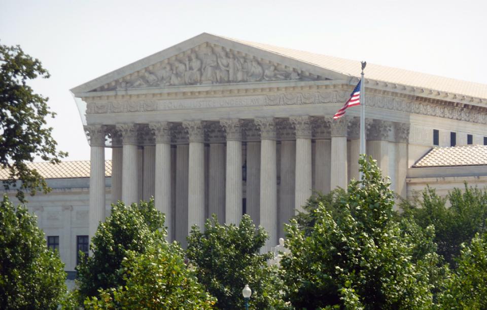
In a single-paragraph assent this week, the U.S. Supreme Court
accepted a deal between Texas and New Mexico, ending the
13-year lawsuit between the states and the federal government
over the waters of the Rio Grande. With the dismissal of
the case, the deal establishes new rules in the stretch of Rio
Grande below Elephant Butte, an area reshaped by water scarcity
and agriculture. Among other agreements, the parties will
divide irrigation water into a 57-43% split, with the majority
going to New Mexico farmers. The agreement also mandates less
groundwater pumping by New Mexico. … Under the
settlement, New Mexico will need to reduce groundwater
pumping in the Lower Rio Grande by 18,200 acre-feet
within the next 10 years.
The U.S. Supreme Court has approved a settlement package
designed to rein in groundwater pumping along one of North
America’s longest rivers and ensure enough water reliably makes
it from New Mexico to Texas, ending a long-running dispute over
management of the Rio Grande. In a brief order Tuesday, the
court accepted the recommendation of a special master to move
forward with agreements first proposed last year by New Mexico,
Texas and Colorado. The settlement calls for
reducing groundwater pumping along the dwindling river
and retiring water rights from irrigated farmland in
southern New Mexico. … While the Colorado
River gets all the headlines, experts say the
situation along the Rio Grande is just as dire. Stretches of
the river as far north as Albuquerque are expected to go dry
again this year, marking the third time in five years.
A funding agreement signed this week between Cadiz,
Inc. and the US Bureau of Reclamation has put fresh
attention on one of the American Southwest’s most contested
water infrastructure proposals: the Mojave Groundwater
Bank, a conjunctive-use groundwater storage project in
southeastern California that has been seeking regulatory
approval for nearly three decades. Under the
agreement, Cadiz will finance Reclamation’s technical
review of the project, covering validation of water supply
resources, assessment of proposed water exchange mechanisms
within the Colorado River system, and
identification of steps required to enable potential federal
investment. … It is designed to connect the Colorado
River and California State Water Project systems through new
pipeline infrastructure, including converted fossil fuel
pipelines.
Of all the risks farmers face in the San Joaquin Valley –
floods, droughts, fluctuating commodity prices, labor and its
costs – one now dominates their lives. The very land they work
is sinking beneath their feet. This phenomenon, known as
subsidence, threatens agricultural and other
infrastructure and incurs staggering repair costs.
… Subsidence has strained relations among farmers who
disagree on which pumping – or whose – causes the problem, how
to pay for repairs, and how to satisfy the various needs of the
state and the owners and managers of the damaged canals.
There has never been a website offering the public a glimpse
into the basic workings of the Tulare Lake Basin Water Storage
District – a public agency – and that’s not going to
change any time soon. The board voted at its May 12 meeting on
a recurring resolution that declares creating a public website
to provide such items as meeting times, locations and agendas
is a “hardship.” … El Rico GSA and Tulare Lake Basin WSD
share the same address and meeting space at 1001 Chase Ave. in
Corcoran. And they meet on the same day, the second Tuesday of
the month, three hours apart. Unlike Tulare Lake Basin WSD,
however, El Rico GSA is required under the Sustainability
Groundwater Management Act (SGMA) to maintain a public website,
no exemptions allowed.
Just off Palm Canyon Drive in Borrego Springs, a dead honey
mesquite tree remains rooted in the hot sand. It’s lifeless but
not yet useless — not to the creatures that find shade under
its branches or the plants that count on its nutrients. Over
the last year, mesquite has been at the heart of a growing
water war in Borrego Springs, a tiny but scenic town deep in
the San Diego County desert that for years seemed blessed with
a rare combination of blazing sun and a font of available
groundwater. A century ago, abundant green mesquite blanketed
the landscape. But in the decades since, the forest the trees
form has deteriorated — just as the town has pumped too much
water out of its underground subbasin to sustain its farms,
resorts, golf courses and some 3,000 residents. Now,
controversy has broken out over whether that mesquite forest
relies on the same water as the town.
An alfalfa-growing megafarm can’t halt a public nuisance
lawsuit accusing it of excessive groundwater pumping in the
southwest corner of Arizona, plagued with fissures and land
subsidence, a state judge ruled Friday. Fondomonte
Arizona LLC, which accounts for more than 80% of groundwater
pumping in the 912-square-mile Ranegras Plain Basin,
asked Maricopa County Judge Scott Minder to pause a 2024
lawsuit filed by Attorney General Kris Mayes so the Arizona
Department of Water Resources could first implement its own
restrictions. The department designated the basin an active
management area in January and has begun a two-year process
aimed at cutting groundwater pumping by 50% over 50
years.
California growers are taking an increasing amount of
agricultural land out of production every year because of lack
of available irrigation water to grow those crops. And there is
likely little argument that laws and regulations play an
outsized role in that equation. Statewide, the debate revolves
around where the fault lies and what solutions can assure the
largest and most productive agricultural region in the United
States, and probably the world, remains in that lofty position.
… [California Farm Water Coalition Executive Director
Michelle] Paul said that as SGMA regulations are being written
and implemented, growers have to manage their own acreage
knowing they will have less water in the future.
… [A] coalition of counties, ranchers, and water
advocates in Utah and Nevada is appealing federal
approval of a groundwater pipeline project in southern Utah.
The group is challenging the Bureau of Land Management’s March
2 approval of the Pine Valley Water Supply Project — a proposed
66-mile pipeline in the high desert near the Nevada border. A
timeline for construction has not been finalized. The project
is designed to move groundwater to the Cedar City area, where
officials say population growth and development are increasing
demand. Opponents argue the federal review fell short, saying
the agency relied on flawed science and failed to fully
consider impacts on aquifers, rural water supplies, and
groundwater-dependent ecosystems.
*IMPORTANT* In anticipation of high demand, the Foundation will be allocating tickets via a lottery method with a maximum of 3 entrants per organization. Tickets will be released in batches over time. Details coming soon.
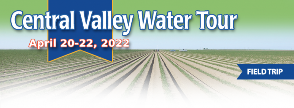
This special, first-ever Foundation water tour will only be offered once! Join us on this special journey as we examine water issues along the Kern River, from its mountain-fed headwaters in the southern Sierra Nevada to its terminus in the Central Valley west of Bakersfield. Among the planned stops are both upper forks of the Kern River, Lake Isabella, lower Kern River canyon, the Friant-Kern Canal, irrigated agriculture in the valley, the Kern Water Bank and more.
Hyatt Place Bakersfield
310 Coffee Rd.
Bakersfield, CA 93309
The 24-page Layperson’s Guide to California Water provides an
excellent overview of the history of water development and use in
California. It includes the latest information on the state’s
changing hydrology, recent water conservation legislation and the
state’s efforts to stretch the available water supplies.
To replenish California’s
chronically depleted aquifers, the state’s Department of Water
Resources is taking a hard look at a new line of attack: Pairing
more sophisticated reservoir operations with groundwater
recharge. Water managers are aiming to make greater use of the
increased floodwater that’s expected to come with flashier, more
intense storms and earlier snowmelt.
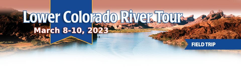
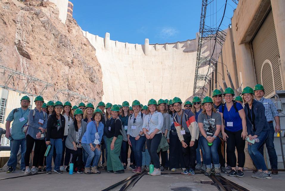
This tour explored the lower Colorado River firsthand where virtually every drop of the river is allocated, yet demand is growing from myriad sources — increasing population, declining habitat, drought and climate change.
The 1,450-mile river is a lifeline to some 40 million people in the Southwest across seven states, 30 tribal nations and Mexico. How the Lower Basin states – Arizona, California and Nevada – use and manage this water to meet agricultural, urban, environmental and industrial needs was the focus of this tour.
Hilton Garden Inn Las Vegas Strip South
7830 S Las Vegas Blvd
Las Vegas, NV 89123
Cities across California and the Southwest are significantly
increasing and diversifying their use of recycled wastewater as
traditional water supplies grow tighter.
The 5th edition of our Layperson’s Guide to Water Recycling
covers the latest trends and statistics on water reuse as a
strategic defense against prolonged drought and climate change.
On this first-ever Foundation water tourwe examined water issues along the 263-mile Klamath River, from its spring-fed headwaters in south-central Oregon to its redwood-lined estuary on the Pacific Ocean in California.
Running Y Resort
5500 Running Y Rd
Klamath Falls, OR 97601
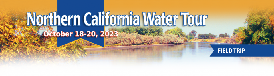
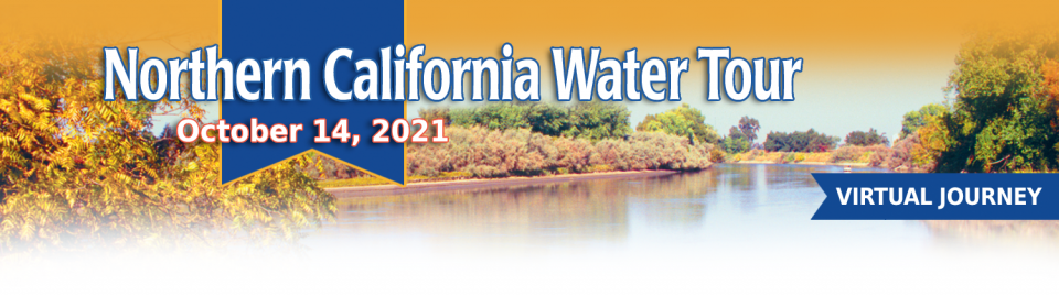
This tour explored the Sacramento River and its tributaries through a scenic landscape while learning about the issues associated with a key source for the state’s water supply.
All together, the river and its tributaries supply 35 percent of California’s water and feed into two major projects: the State Water Project and the federal Central Valley Project.
Water Education Foundation
2151 River Plaza Drive, Suite 205
Sacramento, CA 95833
Seeking to prevent the California State Water Resources Control
Board from stepping in to regulate groundwater in critically
overdrafted subbasins, local agencies are working to correct
deficiencies in their plans to protect groundwater. With
groundwater sustainability agencies formed and groundwater
sustainability plans evaluated, the state water board has moved
to implement the 2014 Sustainable Groundwater Management Act,
or SGMA. … Under probation, groundwater extractors in
the Tulare Lake subbasin face annual fees of $300 per well and
$20 per acre-foot pumped, plus a late reporting fee of 25%.
SGMA also requires well owners to file annual groundwater
extraction reports.
This tour explored the lower Colorado River firsthand where virtually every drop of the river is allocated, yet demand is growing from myriad sources — increasing population, declining habitat, drought and climate change.
The 1,450-mile river is a lifeline to some 40 million people in the Southwest across seven states, 30 tribal nations and Mexico. How the Lower Basin states – Arizona, California and Nevada – use and manage this water to meet agricultural, urban, environmental and industrial needs was the focus of this tour.
Hilton Garden Inn Las Vegas Strip South
7830 S Las Vegas Blvd
Las Vegas, NV 89123
Last week, Assemblywoman Esmeralda Soria introduced AB 2060 to
help divert local floodwater into regional groundwater
basins. AB 2060 seeks to streamline the permitting process
to the California Department of Fish and Wildlife in support of
Flood-MAR activities when a stream or river has reached
flood-monitor or flood stage as determined by the California
Nevada River Forecast Center or the State Water Resources
Control Board (SWRCB). This expedited approval process would be
temporary during storm events with qualifying flows under the
SWRCB permit.
How will selling groundwater help keep more groundwater in the
San Joaquin Valley’s already critically overtapped aquifers?
Water managers in the Kaweah subbasin in northwestern Tulare
County hope to find out by having farmers tinker with a pilot
groundwater market program. Kaweah farmers will be joining
growers from subbasins up and down the San Joaquin Valley
who’ve been looking at how water markets might help them
maintain their businesses by using pumping allotments and
groundwater credits as assets to trade or sell when water is
tight.
This tour explored the Sacramento River and its tributaries through a scenic landscape while learning about the issues associated with a key source for the state’s water supply.
All together, the river and its tributaries supply 35 percent of California’s water and feed into two major projects: the State Water Project and the federal Central Valley Project.
Water Education Foundation
2151 River Plaza Drive, Suite 205
Sacramento, CA 95833
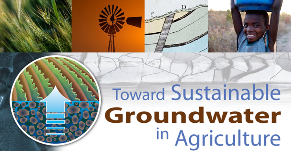
The 3ʳᵈ International Conference, Toward Sustainable Groundwater in Agriculture: Linking Science & Policy took place from June 18 – 20. Organized by the Water Education Foundation and the UC Davis Robert M. Hagan Endowed Chair, the conference provided scientists, policymakers, agricultural and environmental interest group representatives, government officials and consultants with the latest scientific, management, legal and policy advances for sustaining our groundwater resources in agricultural regions around the world.
The conference keynote address was provided by Mark Arax, an award-winning journalist and author of books chronicling agriculture and water issues in California’s Central Valley. Arax comes from a family of Central Valley farmers and is praised for writing books that are deeply profound, heartfelt and nuanced including The Dreamt Land, West of the West and The King of California. He did a reading from his latest book The Dreamt Land and commented on the future of groundwater in the Valley during his keynote lunch talk on June 18.
Hyatt Regency San Francisco Airport
1333 Bayshore Hwy
Burlingame, CA 94010
A new but little-known change in
California law designating aquifers as “natural infrastructure”
promises to unleash a flood of public funding for projects that
increase the state’s supply of groundwater.
The change is buried in a sweeping state budget-related law,
enacted in July, that also makes it easier for property owners
and water managers to divert floodwater for storage underground.
A new underground mapping technology
that reveals the best spots for storing surplus water in
California’s Central Valley is providing a big boost to the
state’s most groundwater-dependent communities.
The maps provided by the California Department of Water Resources
for the first time pinpoint paleo valleys and similar prime
underground storage zones traditionally found with some guesswork
by drilling exploratory wells and other more time-consuming
manual methods. The new maps are drawn from data on the
composition of underlying rock and soil gathered by low-flying
helicopters towing giant magnets.
The unique peeks below ground are saving water agencies’
resources and allowing them to accurately devise ways to capture
water from extreme storms and soak or inject the surplus
underground for use during the next drought.
“Understanding where you’re putting and taking water from really
helps, versus trying to make multimillion-dollar decisions based
on a thumb and which way the wind is blowing,” said Aaron Fukuda,
general manager of the Tulare Irrigation District, an early
adopter of the airborne electromagnetic or
AEM technology in California.
This tour explored the lower Colorado River firsthand where virtually every drop of the river is allocated, yet demand is growing from myriad sources — increasing population, declining habitat, drought and climate change.
The 1,450-mile river is a lifeline to some 40 million people in the Southwest across seven states, 30 tribal nations and Mexico. How the Lower Basin states – Arizona, California and Nevada – use and manage this water to meet agricultural, urban, environmental and industrial needs was the focus of this tour.
Hilton Garden Inn Las Vegas Strip South
7830 S Las Vegas Blvd
Las Vegas, NV 89123
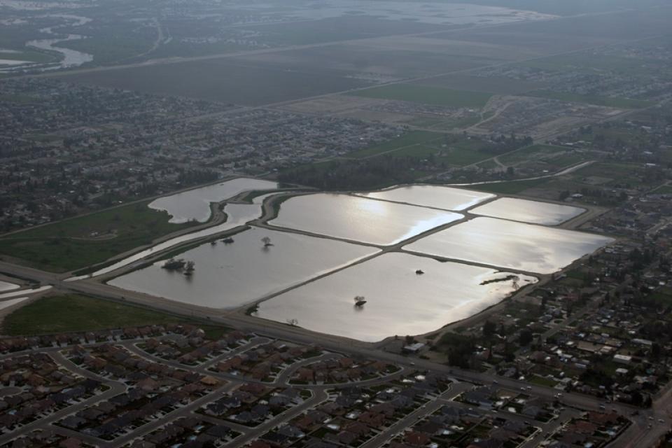
It was exactly the sort of deluge
California groundwater agencies have been counting on to
replenish their overworked aquifers.
The start of 2023 brought a parade of torrential Pacific storms
to bone dry California. Snow piled up across the Sierra Nevada at
a near-record pace while runoff from the foothills gushed into
the Central Valley, swelling rivers over their banks and filling
seasonal creeks for the first time in half a decade.
Suddenly, water managers and farmers toiling in one of the
state’s most groundwater-depleted regions had an opportunity to
capture stormwater and bank it underground. Enterprising agencies
diverted water from rushing rivers and creeks into manmade
recharge basins or intentionally flooded orchards and farmland.
Others snagged temporary permits from the state to pull from
streams they ordinarily couldn’t touch.
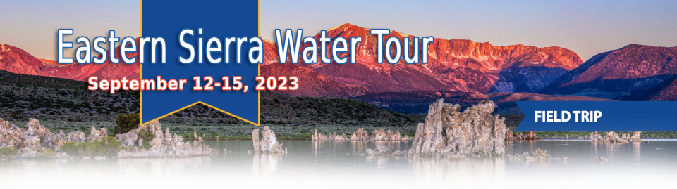
This special Foundation water tour journeyed along the Eastern Sierra from the Truckee River to Mono Lake, through the Owens Valley and into the Mojave Desert to explore a major source of water for Southern California, this year’s snowpack and challenges for towns, farms and the environment.
This tour explored the Sacramento River and its tributaries through a scenic landscape while learning about the issues associated with a key source for the state’s water supply.
All together, the river and its tributaries supply 35 percent of California’s water and feed into two major projects: the State Water Project and the federal Central Valley Project.
Water Education Foundation
2151 River Plaza Drive, Suite 205
Sacramento, CA 95833
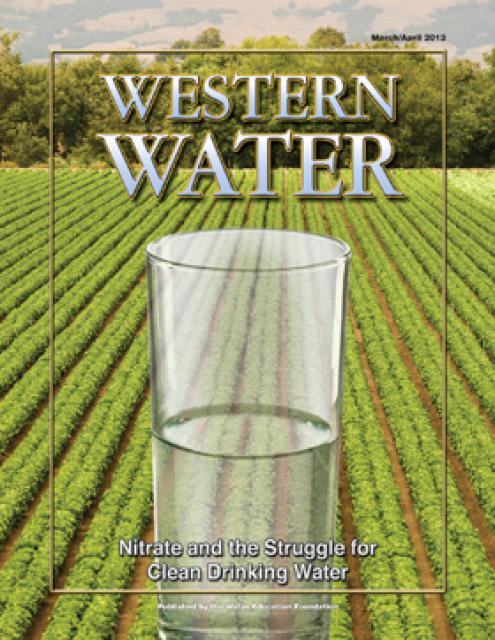
A pilot program in the Salinas Valley run remotely out of Los Angeles is offering a test case for how California could provide clean drinking water for isolated rural communities plagued by contaminated groundwater that lack the financial means or expertise to connect to a larger water system.
Managers of California’s most
overdrawn aquifers were given a monumental task under the state’s
landmark Sustainable Groundwater Management Act: Craft viable,
detailed plans on a 20-year timeline to bring their beleaguered
basins into balance. It was a task that required more than 250
newly formed local groundwater agencies – many of them in the
drought-stressed San Joaquin Valley – to set up shop, gather
data, hear from the public and collaborate with neighbors on
multiple complex plans, often covering just portions of a
groundwater basin.
This tour explored the Sacramento River and its tributaries
through a scenic landscape while learning about the issues
associated with a key source for the state’s water supply.
All together, the river and its tributaries supply 35 percent of
California’s water and feed into two major projects: the State
Water Project and the federal Central Valley Project.
Water Education Foundation
2151 River Plaza Drive, Suite 205
Sacramento, CA 95833
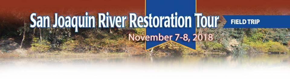
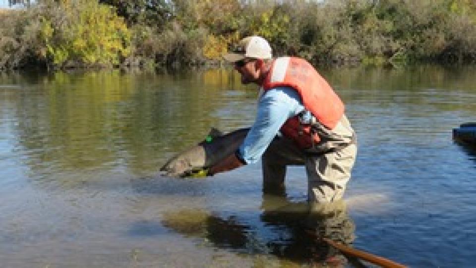
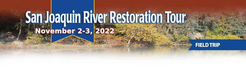
This tour traveled along the San Joaquin River to learn firsthand
about one of the nation’s largest and most expensive river
restoration projects.
The San Joaquin River was the focus of one of the most
contentious legal battles in California water history,
ending in a 2006 settlement between the federal government,
Friant Water Users Authority and a coalition of environmental
groups.
Hampton Inn & Suites Fresno
327 E Fir Ave
Fresno, CA 93720
An online
short course starting Thursday will provide
registrants the opportunity to learn more about how groundwater
is monitored, assessed and sustainably managed.
The class, offered by University of California, Davis and
several other organizations in cooperation with the Water
Education Foundation, will be held May 12, 19,
26 and June 2, 16 from 9 a.m. to noon.
Martha Guzman recalls those awful
days working on water and other issues as a deputy legislative
secretary for then-Gov. Jerry Brown. California was mired in a
recession and the state’s finances were deep in the red. Parks
were cut, schools were cut, programs were cut to try to balance a
troubled state budget in what she remembers as “that terrible
time.”
She now finds herself in a strikingly different position: As
administrator of the U.S. Environmental Protection Agency’s
Region 9, she has a mandate to address water challenges across
California, Nevada, Arizona and Hawaii and $1 billion to help pay
for it. It is the kind of funding, she said, that is usually
spread out over a decade. Guzman called it the “absolutely
greatest opportunity.”
This tour explored the lower Colorado River firsthand where virtually every drop of the river is allocated, yet demand is growing from myriad sources — increasing population, declining habitat, drought and climate change.
The 1,450-mile river is a lifeline to some 40 million people in the Southwest across seven states, 30 tribal nations and Mexico. How the Lower Basin states – Arizona, California and Nevada – use and manage this water to meet agricultural, urban, environmental and industrial needs was the focus of this tour.
Hyatt Place Las Vegas At Silverton Village
8380 Dean Martin Drive
Las Vegas, NV 89139
This tour ventured through California’s Central Valley, known as the nation’s breadbasket thanks to an imported supply of surface water and local groundwater. Covering about 20,000 square miles through the heart of the state, the valley provides 25 percent of the nation’s food, including 40 percent of all fruits, nuts and vegetables consumed throughout the country.
This tour guided participants on a virtual exploration of the Sacramento River and its tributaries and learn about the issues associated with a key source for the state’s water supply.
All together, the river and its tributaries supply 35 percent of California’s water and feed into two major projects: the State Water Project and the federal Central Valley Project.
As California’s seasons become
warmer and drier, state officials are pondering whether the water
rights permitting system needs revising to better reflect the
reality of climate change’s effect on the timing and volume of
the state’s water supply.
A report by the State Water Resources Control Board recommends
that new water rights permits be tailored to California’s
increasingly volatile hydrology and be adaptable enough to ensure
water exists to meet an applicant’s demand. And it warns
that the increasingly whiplash nature of California’s changing
climate could require existing rights holders to curtail
diversions more often and in more watersheds — or open
opportunities to grab more water in climate-induced floods.
The San Joaquin Valley has a big
hill to climb in reaching groundwater sustainability. Driven by
the need to keep using water to irrigate the nation’s breadbasket
while complying with California’s Sustainable Groundwater
Management Act, people throughout the valley are looking for
innovative and cost-effective ways to manage and use groundwater
more wisely. Here are three examples.
Groundwater provides about 40
percent of the water in California for urban, rural and
agricultural needs in typical years, and as much as 60 percent in
dry years when surface water supplies are low. But in many areas
of the state, groundwater is being extracted faster than it can
be replenished through natural or artificial means.
Across a sprawling corner of southern Tulare County snug against the Sierra Nevada, a bounty of navel oranges, grapes, pistachios, hay and other crops sprout from the loam and clay of the San Joaquin Valley. Groundwater helps keep these orchards, vineyards and fields vibrant and supports a multibillion-dollar agricultural economy across the valley. But that bounty has come at a price. Overpumping of groundwater has depleted aquifers, dried up household wells and degraded ecosystems.
Since 1997, more than 430 engineers,
farmers, environmentalists, lawyers, and others have graduated
from our William R. Gianelli Water Leaders program. We’ve
developed a new alumni network
webpage to help program participants connect and keep in
touch.
An
online short course starting Thursday will provide
registrants the opportunity to learn more about how groundwater
is monitored, assessed and sustainably managed.
The class, offered by UC Davis and several other organizations in
cooperation with the Water Education Foundation, will be
held May 21 and 28, June 4, 18, and 25 from 9 a.m. to noon.
The bill is coming due, literally,
to protect and restore groundwater in California.
Local agencies in the most depleted groundwater basins in
California spent months putting together plans to show how they
will achieve balance in about 20 years.
Innovative efforts to accelerate
restoration of headwater forests and to improve a river for the
benefit of both farmers and fish. Hard-earned lessons for water
agencies from a string of devastating California wildfires.
Efforts to drought-proof a chronically water-short region of
California. And a broad debate surrounding how best to address
persistent challenges facing the Colorado River.
These were among the issues Western Water explored in
2019, and are still worth taking a look at in case you missed
them.
A diverse roster of top
policymakers and water experts are on the
agenda for the Foundation’s 36th annual Water
Summit. The conference, Water Year 2020: A Year
of Reckoning, will feature compelling conversations
reflecting on upcoming regulatory deadlines and efforts to
improve water management and policy in the face of natural
disasters.
Tickets for the Water Summit are sold out, but by joining the waitlist we can
let you know when spaces open via cancellations.
To survive the next drought and meet
the looming demands of the state’s groundwater sustainability
law, California is going to have to put more water back in the
ground. But as other Western states have found, recharging
overpumped aquifers is no easy task.
Successfully recharging aquifers could bring multiple benefits
for farms and wildlife and help restore the vital interconnection
between groundwater and rivers or streams. As local areas around
California draft their groundwater sustainability plans, though,
landowners in the hardest hit regions of the state know they will
have to reduce pumping to address the chronic overdraft in which
millions of acre-feet more are withdrawn than are naturally
recharged.
California experienced one of the
most deadly and destructive wildfire years on record in 2018,
with several major fires occurring in the wildland-urban
interface (WUI). These areas, where communities are in close
proximity to undeveloped land at high risk of wildfire, have felt
devastating effects of these disasters, including direct impacts
to water infrastructure and supplies.
One panel at our 2019 Water
Summit Oct. 30 in Sacramento will feature speakers
from water agencies who came face-to-face with two major fires:
The Camp Fire that destroyed most of the town of Paradise in
Northern California, and the Woolsey Fire in the Southern
California coastal mountains. They’ll talk about their
experiences and what lessons they learned.
The southern part of California’s Central Coast from San Luis Obispo County to Ventura County, home to about 1.5 million people, is blessed with a pleasing Mediterranean climate and a picturesque terrain. Yet while its unique geography abounds in beauty, the area perpetually struggles with drought.
Indeed, while the rest of California breathed a sigh of relief with the return of wet weather after the severe drought of 2012–2016, places such as Santa Barbara still grappled with dry conditions.
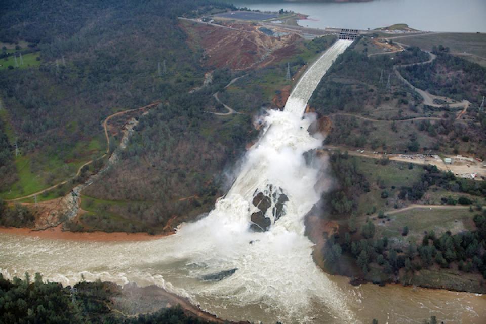
Atmospheric rivers, the narrow bands
of moisture that ferry precipitation across the Pacific Ocean to
the West Coast, are necessary to keep California’s water
reservoirs full.
However, some of them are dangerous because the extreme rainfall
and wind can cause catastrophic flooding and damage, much
like what happened in 2017 with Oroville Dam’s spillway.
Learn the latest about atmospheric river research and forecasting
at our 2019 Water
Summit on Oct. 30 in Sacramento, where
prominent research meteorologist Marty Ralph will give the
opening keynote.
With a key deadline for the
Sustainable Groundwater Management Act in January, one of the
featured panels at our Oct.
30thWater
Summit will focus on how regions around California
are crafting groundwater sustainability plans and working on
innovative ways to fill aquifers.
The theme for this year’s Water Summit, “Water Year 2020: A Year
of Reckoning,” reflects critical upcoming events in California
water, including the imminent Jan. 31, 2020 deadline for
groundwater sustainability plans (GSPs) in high- and
medium-priority basins.
Our event calendar is an excellent
resource for keeping up with water events in California and the
West.
Groundwater is top of mind for many water managers as they
prepare to meet next January’s deadline for submitting
sustainability plans required under California’s Sustainable
Groundwater Management Act. We have several upcoming featured
events listed on our calendar that focus on a variety of relevant
groundwater topics:
Registration opens today for the
Water Education Foundation’s 36th annual Water
Summit, set for Oct. 30 in Sacramento. This year’s
theme, Water Year 2020: A Year of Reckoning,
reflects fast-approaching deadlines for the State Groundwater
Management Act as well as the pressing need for new approaches to
water management as California and the West weather intensified
flooding, fire and drought. To register for this can’t-miss
event, visit our Water Summit
event page.
Registration includes a full day of discussions by leading
stakeholders and policymakers on key issues, as well as coffee,
materials, gourmet lunch and an outdoor reception by the
Sacramento River that will offer the opportunity to network with
speakers and other attendees. The summit also features a silent
auction to benefit our Water Leaders program featuring
items up for bid such as kayaking trips, hotel stays and lunches
with key people in the water world.
Summer is a good time to take a
break, relax and enjoy some of the great beaches, waterways and
watersheds around California and the West. We hope you’re getting
a chance to do plenty of that this July.
But in the weekly sprint through work, it’s easy to miss
some interesting nuggets you might want to read. So while we’re
taking a publishing break to work on other water articles planned
for later this year, we want to help you catch up on
Western Water stories from the first half of this year
that you might have missed.
Our 36th annual
Water Summit,
happening Oct. 30 in Sacramento, will feature the theme “Water
Year 2020: A Year of Reckoning,” reflecting upcoming regulatory
deadlines and efforts to improve water management and policy in
the face of natural disasters.
The Summit will feature top policymakers and leading stakeholders
providing the latest information and a variety of viewpoints on
issues affecting water across California and the West.
One of California Gov. Gavin
Newsom’s first actions after taking office was to appoint Wade
Crowfoot as Natural Resources Agency secretary. Then, within
weeks, the governor laid out an ambitious water agenda that
Crowfoot, 45, is now charged with executing.
That agenda includes the governor’s desire for a “fresh approach”
on water, scaling back the conveyance plan in the Sacramento-San
Joaquin Delta and calling for more water recycling, expanded
floodplains in the Central Valley and more groundwater recharge.
Groundwater helped make Kern County
the king of California agricultural production, with a $7 billion
annual array of crops that help feed the nation. That success has
come at a price, however. Decades of unchecked groundwater
pumping in the county and elsewhere across the state have left
some aquifers severely depleted. Now, the county’s water managers
have less than a year left to devise a plan that manages and
protects groundwater for the long term, yet ensures that Kern
County’s economy can continue to thrive, even with less water.
Although Santa Monica may be the most aggressive Southern California water provider to wean itself from imported supplies, it is hardly the only one looking to remake its water portfolio.
In Los Angeles, a city of about 4 million people, efforts are underway to dramatically slash purchases of imported water while boosting the amount from recycling, stormwater capture, groundwater cleanup and conservation. Mayor Eric Garcetti in 2014 announced a plan to reduce the city’s purchase of imported water from Metropolitan Water District by one-half by 2025 and to provide one-half of the city’s supply from local sources by 2035. (The city considers its Eastern Sierra supplies as imported water.)
Imported water from the Sierra
Nevada and the Colorado River built Southern California. Yet as
drought, climate change and environmental concerns render those
supplies increasingly at risk, the Southland’s cities have ramped
up their efforts to rely more on local sources and less on
imported water.
Far and away the most ambitious goal has been set by the city of
Santa Monica, which in 2014 embarked on a course to be virtually
water independent through local sources by 2023. In the 1990s,
Santa Monica was completely dependent on imported water. Now, it
derives more than 70 percent of its water locally.
The whims of political fate decided
in 2018 that state bond money would not be forthcoming to help
repair the subsidence-damaged parts of Friant-Kern Canal, the
152-mile conduit that conveys water from the San Joaquin River to
farms that fuel a multibillion-dollar agricultural economy along
the east side of the fertile San Joaquin Valley.
The growing leadership of women in water. The Colorado River’s persistent drought and efforts to sign off on a plan to avert worse shortfalls of water from the river. And in California’s Central Valley, promising solutions to vexing water resource challenges.
These were among the topics that Western Water news explored in 2018.
We’re already planning a full slate of stories for 2019. You can sign up here to be alerted when new stories are published. In the meantime, take a look at what we dove into in 2018:
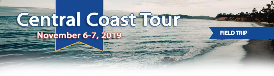
This 2-day, 1-night tour offered participants the opportunity to
learn about water issues affecting California’s scenic Central
Coast and efforts to solve some of the challenges of a region
struggling to be sustainable with limited local supplies that
have potential applications statewide.
In the universe of California water, Tim Quinn is a professor emeritus. Quinn has seen — and been a key player in — a lot of major California water issues since he began his water career 40 years ago as a young economist with the Rand Corporation, then later as deputy general manager with the Metropolitan Water District of Southern California, and finally as executive director of the Association of California Water Agencies. In December, the 66-year-old will retire from ACWA.
In 1983, a landmark California Supreme Court ruling extended the public trust doctrine to tributary creeks that feed Mono Lake, which is a navigable water body even though the creeks themselves were not. The ruling marked a dramatic shift in water law and forced Los Angeles to cut back its take of water from those creeks in the Eastern Sierra to preserve the lake.
Now, a state appellate court has for the first time extended that same public trust doctrine to groundwater that feeds a navigable river, in this case the Scott River flowing through a picturesque valley of farms and alfalfa in Siskiyou County in the northern reaches of California.
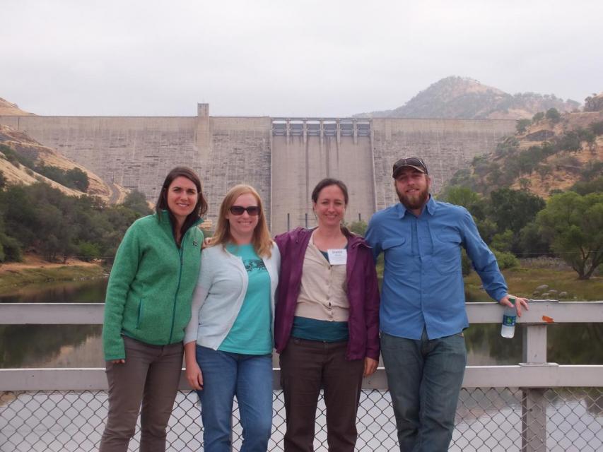
This tour explored the Sacramento River and its tributaries
through a scenic landscape as participants learned about the
issues associated with a key source for the state’s water supply.
All together, the river and its tributaries supply 35 percent of
California’s water and feed into two major projects: the State
Water Project and the federal Central Valley Project. Tour
participants got an on-site update of Oroville Dam spillway
repairs.
There’s going to be a new governor
in California next year – and a host of challenges both old and
new involving the state’s most vital natural resource, water.
So what should be the next governor’s water priorities?
That was one of the questions put to more than 150 participants
during a wrap-up session at the end of the Water Education
Foundation’s Sept. 20 Water Summit in Sacramento.
More than a decade in the making, an
ambitious plan to deal with the vexing problem of salt and
nitrates in the soils that seep into key groundwater basins of
the Central Valley is moving toward implementation. But its
authors are not who you might expect.
An unusual collaboration of agricultural interests, cities, water
agencies and environmental justice advocates collaborated for
years to find common ground to address a set of problems that
have rendered family wells undrinkable and some soil virtually
unusable for farming.
As California embarks on its unprecedented mission to harness groundwater pumping, the Arizona desert may provide one guide that local managers can look to as they seek to arrest years of overdraft.
Groundwater is stressed by a demand that often outpaces natural and artificial recharge. In California, awareness of groundwater’s importance resulted in the landmark Sustainable Groundwater Management Act in 2014 that aims to have the most severely depleted basins in a state of balance in about 20 years.
Spurred by drought and a major
policy shift, groundwater management has assumed an unprecedented
mantle of importance in California. Local agencies in the
hardest-hit areas of groundwater depletion are drawing plans to
halt overdraft and bring stressed aquifers to the road of
recovery.
Along the way, an army of experts has been enlisted to help
characterize the extent of the problem and how the Sustainable
Groundwater Management Act of 2014 is implemented in a manner
that reflects its original intent.
We explored the lower Colorado River where virtually every drop
of the river is allocated, yet demand is growing from myriad
sources — increasing population, declining habitat, drought and
climate change.
The 1,450-mile river is a lifeline to 40 million people in
the Southwest across seven states and Mexico. How the Lower Basin
states – Arizona, California and Nevada – use and manage this
water to meet agricultural, urban, environmental and industrial
needs was the focus of this tour.
Hampton Inn Tropicana
4975 Dean Martin Drive, Las Vegas, NV 89118
California voters may experience a sense of déjà vu this year when they are asked twice in the same year to consider water bonds — one in June, the other headed to the November ballot.
Both tackle a variety of water issues, from helping disadvantaged communities get clean drinking water to making flood management improvements. But they avoid more controversial proposals, such as new surface storage, and they propose to do some very different things to appeal to different constituencies.
This tour explored the Sacramento River and its tributaries
through a scenic landscape as participants learned about the
issues associated with a key source for the state’s water supply.
All together, the river and its tributaries supply 35 percent of
California’s water and feed into two major projects: the State
Water Project and the federal Central Valley Project. Tour
participants got an on-site update of repair efforts on the
Oroville Dam spillway.
Participants of this tour snaked along the San Joaquin River to
learn firsthand about one of the nation’s largest and most
expensive river restoration projects.
The San Joaquin River was the focus of one of the most
contentious legal battles in California water history,
ending in a 2006 settlement between the federal government,
Friant Water Users Authority and a coalition of environmental
groups.
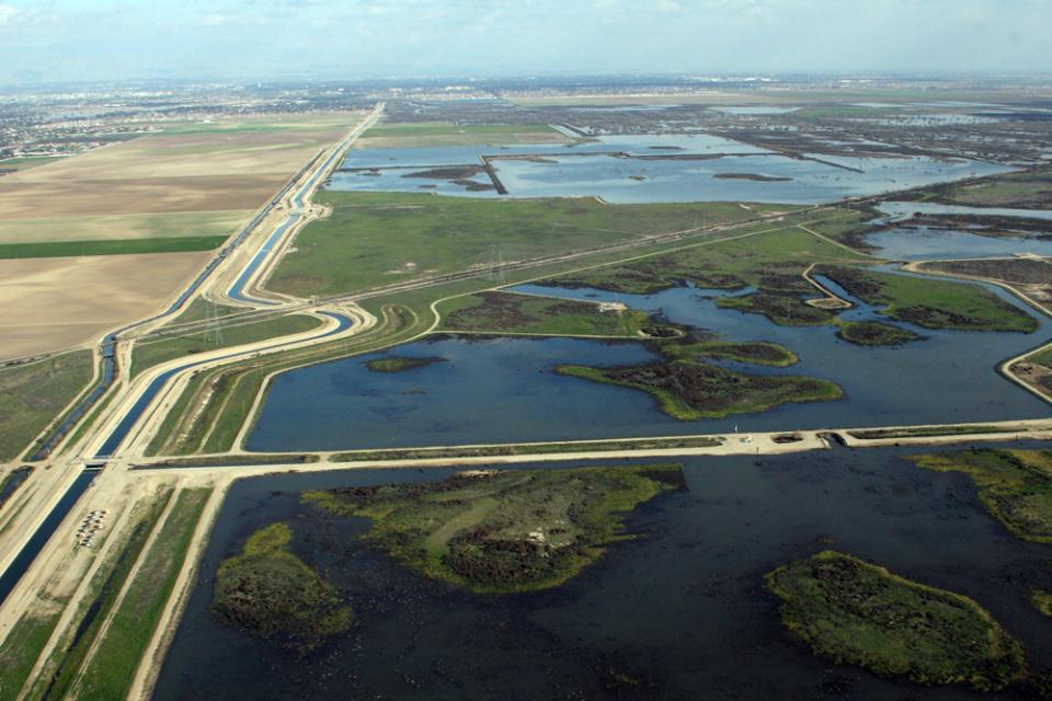
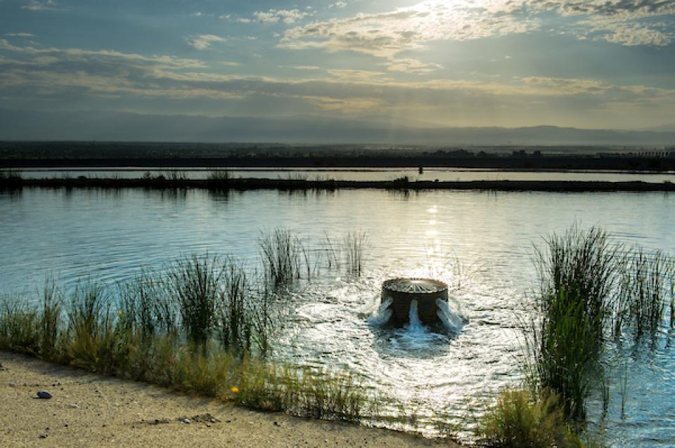
Groundwater replenishment happens
through direct recharge and in-lieu recharge. Water used for
direct recharge most often comes from flood flows, water
conservation, recycled water, desalination and water
transfers.
One of the wettest years in California history that ended a
record five-year drought has rejuvenated the call for new storage
to be built above and below ground.
In a state that depends on large surface water reservoirs to help
store water before moving it hundreds of miles to where it is
used, a wet year after a long drought has some people yearning
for a place to sock away some of those flood flows for when they
are needed.
Sinkholes are caused by erosion of rocks beneath soil’s surface.
Groundwater dissolves soft rocks such as gypsum, salt and
limestone, leaving gaps in the originally solid structure. This
is exacerbated when water is acidic from contact with carbon
dioxide or acid rain. Even humidity can play a major role in
destabilizing water underground.
The land remains intact until the spaces become too big to
support the surface above – called “overburden” – causing it to
collapse and create a “sinkhole.” They can be undetectably
small or hundreds of miles in diameter.
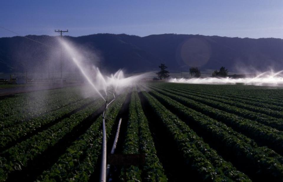
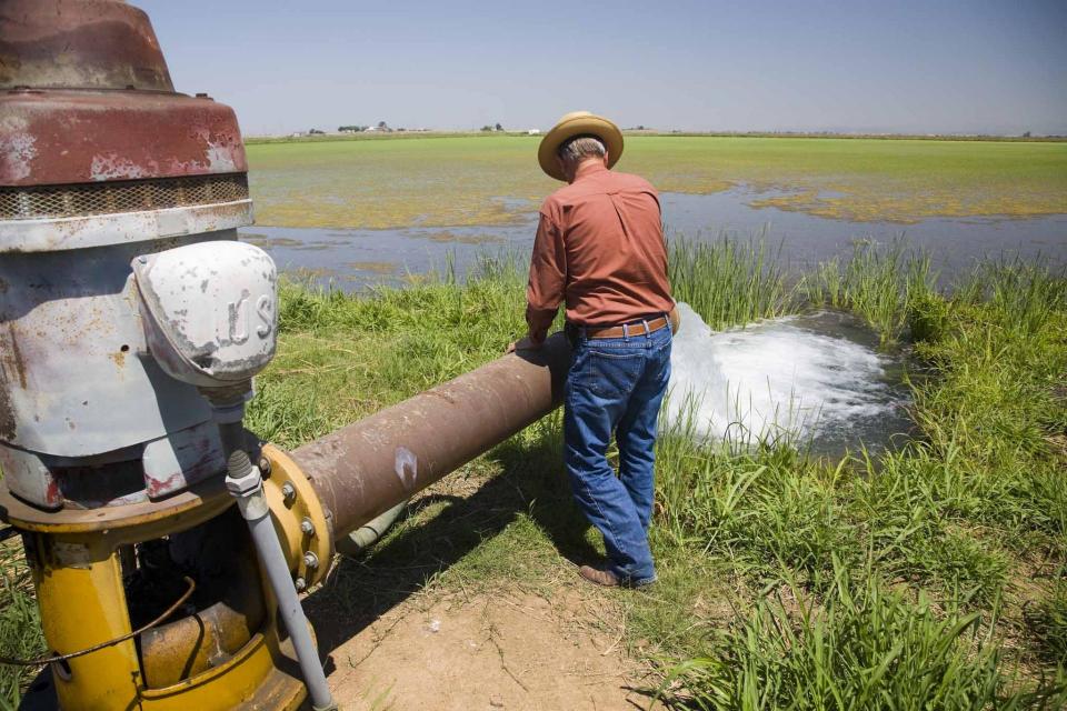
Irrigation is the artificial supply
of water to grow crops or plants. Obtained from either surface or groundwater, it optimizes
agricultural production when the amount of rain and where it
falls is insufficient. Different irrigation
systems are not necessarily mutually exclusive, but in
practical use are often combined. Much of the agriculture in
California and the West relies on irrigation.
The United States
Geological Survey (USGS) defines freshwater as containing
less than 1,000 milligrams per liter dissolved solids. However,
500 milligrams per liter is usually the cutoff for municipal and
commercial use. Most of the Earth’s water is saline, 97.5
percent with only 2.5 percent fresh.
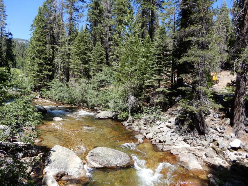
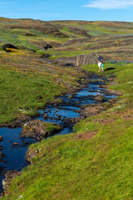
Springs are where groundwater becomes surface water, acting as openings
where subsurface water can discharge onto the ground or directly
into other water bodies. They can also be considered the
consequence of an overflowing
aquifer. As a result, springs often serve as headwaters to streams.
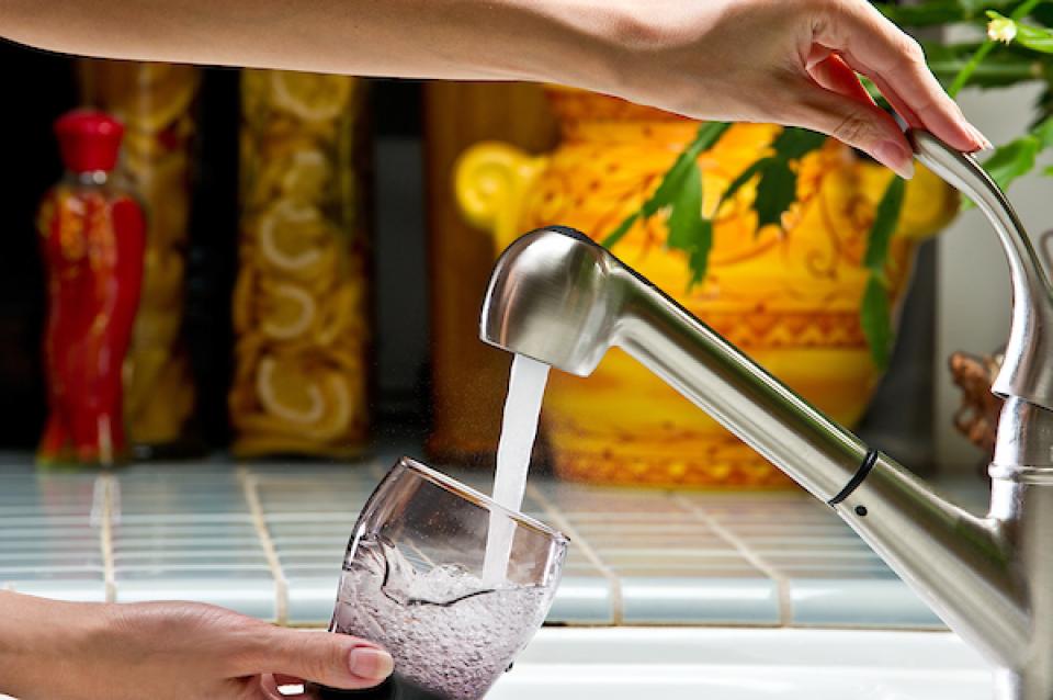
Potable water, also known as
drinking water, comes from surface and ground sources and is
treated to levels that that meet state and federal standards for
consumption.
Water from natural sources is treated for microorganisms,
bacteria, toxic chemicals, viruses and fecal matter. Drinking
raw, untreated water can cause gastrointestinal problems such as
diarrhea, vomiting or fever.
Extensometers are among the most valuable devices hydrogeologists
use to measure subsidence, but most people – even water
professionals – have never seen one. They are sensitive and
carefully calibrated, so they are kept under lock and key and are
often in remote locations on private property.
During our California
Groundwater Tour Oct. 5-6, you will see two types of
extensometers used by the California Department of Water
Resources to monitor changes in elevation caused by groundwater
overdraft.
Flowing into the heart of the Mojave Desert, the Mojave River exists mostly underground. Surface channels are usually dry absent occasional groundwater surfacing and flooding from extreme weather events like El Niño.
Alluvium generally refers to the clay, silt, sand and gravel that
are deposited by a stream, creek or other water body.
Alluvium is found around deltas and rivers, frequently
making soils very fertile. Alternatively, “colluvium” refers to
the accumulation at the base of hills, brought there from runoff
(as opposed to a water body).
The Oxnard Plain in Ventura County is a visible alluvial plain,
where floodplains have drifted over time due to gradual deposits
of alluvium, a feature also present in Red Rock Canyon State Park
in Kern County.
California entered a new era of
groundwater management in 2014 with the passage of the
Sustainable Groundwater Management Act (SGMA), becoming the last
state in the arid West to enact some kind of comprehensive
groundwater
management program.
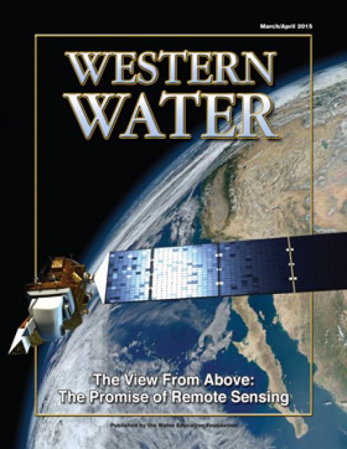
This issue looks at remote sensing applications and how satellite
information enables analysts to get a better understanding of
snowpack, how much water a plant actually uses, groundwater
levels, levee stability and more.
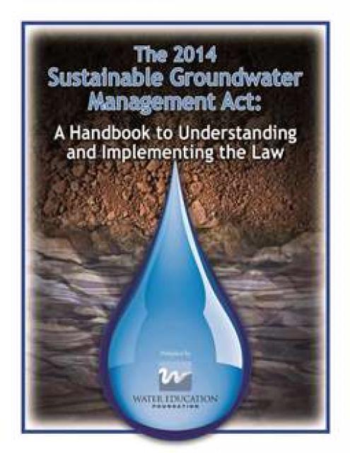
This handbook provides crucial
background information on the Sustainable Groundwater Management
Act, signed into law in 2014 by Gov. Jerry Brown. The handbook
also includes a section on options for new governance.
This 2-day, 1-night tour traveled through Inland
Southern California to learn about the region’s efforts in
groundwater management, recycled water and other drought-proofing
measures.
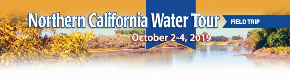
This 2-day, 1-night tour traveled from the
Sacramento region to Napa Valley to view sites that explore
groundwater issues. Topics included groundwater quality,
overdraft and subsidence, agricultural use, wells, and regional
management efforts.
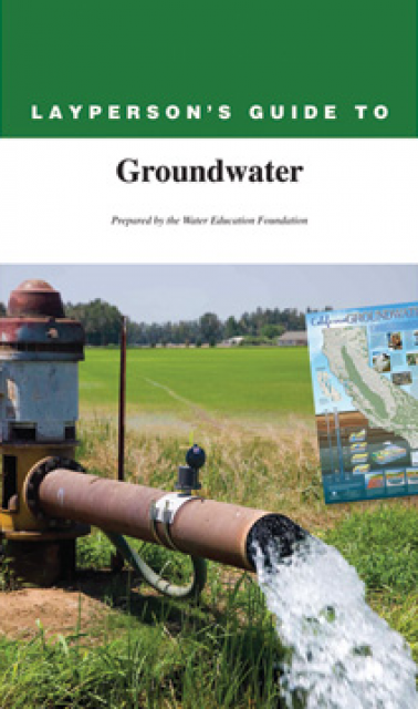
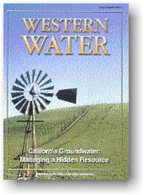
The 28-page Layperson’s Guide to Groundwater is an in-depth,
easy-to-understand publication that provides background and
perspective on groundwater. The guide explains what groundwater
is – not an underground network of rivers and lakes! – and the
history of its use in California.
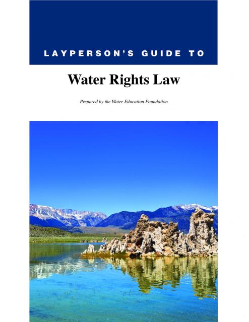
The 28-page Layperson’s Guide to Water Rights Law, recognized as
the most thorough explanation of California water rights law
available to non-lawyers, traces the authority for water flowing
in a stream or reservoir, from a faucet or into an irrigation
ditch through the complex web of California water rights.
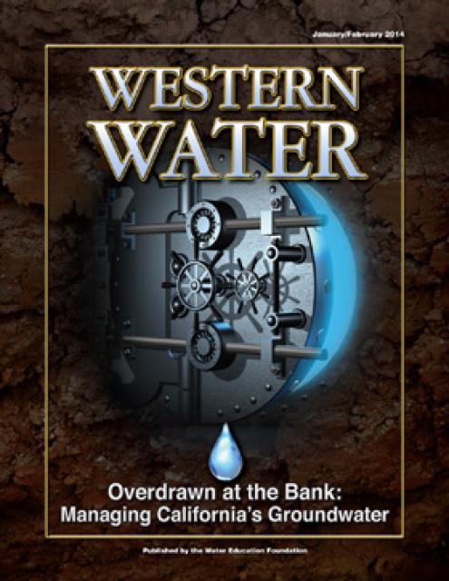
This printed issue of Western Water looks at California
groundwater and whether its sustainability can be assured by
local, regional and state management. For more background
information on groundwater please refer to the Foundation’s
Layperson’s Guide to Groundwater.
This printed issue of Western Water examines
groundwater management and the extent to which stakeholders
believe more efforts are needed to preserve and restore the
resource.
This printed issue of Western Water looks at hydraulic
fracturing, or “fracking,” in California. Much of the information
in the article was presented at a conference hosted by the
Groundwater Resources Association of California.
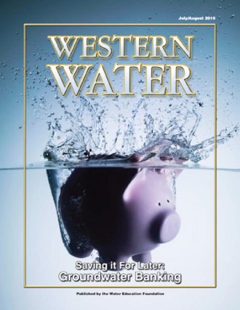
This printed issue of Western Water examines
groundwater banking, a water management strategy with appreciable
benefits but not without challenges and controversy.
This printed issue of Western Water features a
roundtable discussion with Anthony Saracino, a water resources
consultant; Martha Davis, executive manager of policy development
with the Inland Empire Utilities Agency and senior policy advisor
to the Delta Stewardship Council; Stuart Leavenworth, editorial
page editor of The Sacramento Bee and Ellen Hanak, co-director of
research and senior fellow at the Public Policy Institute of
California.
This printed issue of Western Water looks at some of
the pieces of the 2009 water legislation, including the Delta
Stewardship Council, the new requirements for groundwater
monitoring and the proposed water bond.
This printed issue of Western Water examines
desalination – an issue that is marked by great optimism and
controversy – and the expected role it might play as an
alternative water supply strategy.
This printed issue of Western Water examines the Russian and
Santa Ana rivers – areas with ongoing issues not dissimilar to
the rest of the state – managing supplies within a lingering
drought, improving water quality and revitalizing and restoring
the vestiges of the native past.
This printed copy of Western Water examines California’s drought
– its impact on water users in the urban and agricultural sector
and the steps being taken to prepare for another dry year should
it arrive.
Statewide, groundwater provides about 30 percent of California’s
water supply, with some regions more dependent on it than others.
In drier years, groundwater provides a higher percentage of the
water supply. Groundwater is less known than surface water but no
less important. Its potential for helping to meet the state’s
growing water demand has spurred greater attention toward gaining
a better understanding of its overall value. This issue of
Western Water examines groundwater storage and its increasing
importance in California’s future water policy.
This issue of Western Water examines the issue of California
groundwater management, in light of recent attention focused on
the subject through legislative actions and the release of the
draft Bulletin 118. In addition to providing an overview of
groundwater and management options, it offers a glimpse of what
the future may hold and some background information on
groundwater hydrology and law.
This 25-minute documentary-style DVD, developed in partnership
with the California Department of Water Resources, provides an
excellent overview of climate change and how it is already
affecting California. The DVD also explains what scientists
anticipate in the future related to sea level rise and
precipitation/runoff changes and explores the efforts that are
underway to plan and adapt to climate.
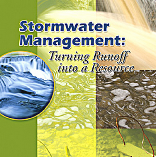
20-minute DVD that explains the problem with polluted stormwater,
and steps that can be taken to help prevent such pollution and
turn what is often viewed as a “nuisance” into a water resource
through various activities.
Many Californians don’t realize that when they turn on the
faucet, the water that flows out could come from a source close
to home or one hundreds of miles away. Most people take their
water for granted; not thinking about the elaborate systems and
testing that go into delivering clean, plentiful water to
households throughout the state. Where drinking water comes from,
how it’s treated, and what people can do to protect its quality
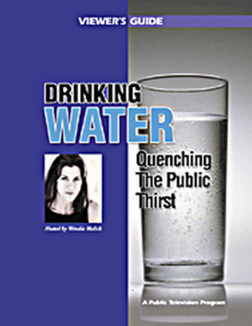
are highlighted in this 2007 PBS documentary narrated by actress
Wendie Malick.
A 30-minute version of the 2007 PBS documentary Drinking Water:
Quenching the Public Thirst. This DVD is ideal for showing at
community forums and speaking engagements to help the public
understand the complex issues surrounding the elaborate systems
and testing that go into delivering clean, plentiful water to
households throughout the state.
Water truly has shaped California into the great state it is
today. And if it is water that made California great, it’s the
fight over – and with – water that also makes it so critically
important. In efforts to remap California’s circulatory system,
there have been some critical events that had a profound impact
on California’s water history. These turning points not only
forced a re-evaluation of water, but continue to impact the lives
of every Californian. This 2005 PBS documentary offers a
historical and current look at the major water issues that shaped
the state we know today. Includes a 12-page viewer’s guide with
background information, historic timeline and a teacher’s lesson.
This 7-minute DVD is designed to teach children in grades 5-12
about where storm water goes – and why it is so important to
clean up trash, use pesticides and fertilizers wisely, and
prevent other chemicals from going down the storm drain. The
video’s teenage actors explain the water cycle and the difference
between sewer drains and storm drains, how storm drain water is
not treated prior to running into a river or other waterway. The
teens also offer a list of BMPs – best management practices that
homeowners can do to prevent storm water pollution.
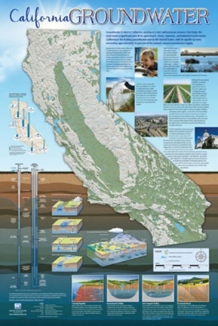
Fashioned after the popular California Water Map, this 24×36-inch
poster was extensively re-designed in 2017 to better illustrate
the value and use of groundwater in California, the main types of
aquifers, and the connection between groundwater and surface
water.
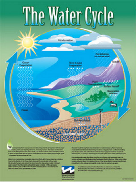
Water as a renewable resource is depicted in this 18×24 inch
poster. Water is renewed again and again by the natural
hydrologic cycle where water evaporates, transpires from plants,
rises to form clouds, and returns to the earth as precipitation.
Excellent for elementary school classroom use.
The 20-page Layperson’s Guide to Water Marketing provides
background information on water rights, types of transfers and
critical policy issues surrounding this topic. First published in
1996, the 2005 version offers expanded information on
groundwater banking and conjunctive use, Colorado River
transfers and the role of private companies in California’s
developing water market.
Order in bulk (25 or more copies of the same guide) for a reduced
fee. Contact the Foundation, 916-444-6240, for details.
The 24-page Layperson’s Guide to the State Water Project provides
an overview of the California-funded and constructed State Water
Project.
The State Water Project is best known for the 444-mile-long
aqueduct that provides water from the Delta to San Joaquin Valley
agriculture and southern California cities. The guide contains
information about the project’s history and facilities.
The 24-page Layperson’s Guide to Integrated Regional Water
Management (IRWM) is an in-depth, easy-to-understand publication
that provides background information on the principles of IRWM,
its funding history and how it differs from the traditional water
management approach.
The 28-page Layperson’s Guide to Nevada Water provides an
overview of the history of water development and use in Nevada.
It includes sections on Nevada’s water rights laws, the history
of the Truckee and Carson rivers, water supplies for the Las
Vegas area, groundwater, water quality, environmental issues and
today’s water supply challenges.
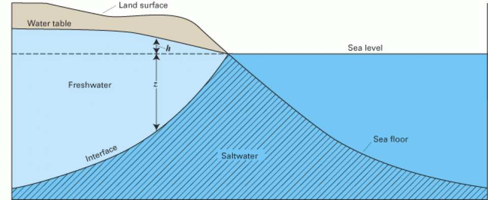
Seawater intrusion can harm groundwater quality in a variety of
places, both coastal and inland, throughout California.
Along the coast, seawater intrusion into aquifers is connected to overdrafting of
groundwater. Additionally, in the interior, groundwater
pumping can draw up salty water from ancient seawater isolated in
subsurface sediments.
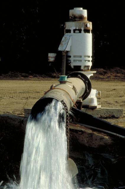
Overdraft occurs when, over a period of years, more water is
pumped from a groundwater basin than is replaced from all sources
– such as rainfall, irrigation water, streams fed by mountain
runoff and intentional recharge. [See also Hydrologic Cycle.]
While many of its individual aquifers are not overdrafted,
California as a whole uses more groundwater than is replaced.
The treatment of groundwater— the primary source of drinking
water and irrigation water in many parts of the United States —
varies from community to community, and even from well to well
within a city depending on what contaminants the water contains.
In California, one-half of the state’s population drinks water
drawn from underground sources [the remainder is provided by
surface water].
Groundwater management is recognized
as critical to supporting the long-term viability of California’s
aquifers and protecting the
nearby surface waters that are connected to groundwater.
California has considered, but not implemented, a comprehensive
groundwater strategy many
times over the last century.
One hundred years ago, the California Conservation Commission
considered adding groundwater regulation into the Water
Commission Act of 1913. After hearings were held, it was
decided to leave groundwater rights out of the Water Code.
California, like most arid Western states, has a complex system
of surface water rights
that accounts for nearly all of the water in rivers and streams.
Groundwater banking is a process of diverting floodwaters or
other surface water into
an aquifer where it can be
stored until it is needed later. In a twist of fate, the space
made available by emptying some aquifers opened the door for the
banking activities used so extensively today.
When multiple parties withdraw water from the same aquifer,
groundwater pumpers can ask the court to adjudicate, or hear
arguments for and against, to better define the rights that
various entities have to use groundwater resources. This is known
as groundwater adjudication. [See also California
water rights and Groundwater Law.]
If California were flat, its groundwater would be enough to flood
the entire state 8 feet deep. The enormous cache of underground
water helped the state become the nation’s top agricultural
producer. Groundwater also provides a critical hedge against
drought to sustain California’s overall water supply.
In years of average precipitation, about 40 percent of the
state’s water supply comes from underground. During a drought,
the amount can approach 60 percent.
For something so largely hidden from view, groundwater is an
important and controversial part of California’s water supply
picture. How it should be managed and whether it becomes part of
overarching state regulation is a topic of strong debate.
In early June, environmentalists and Delta water agencies sued
the California Department of Water Resources (DWR) and the Kern
County Water Agency (KCWA) over the validity of the transfer of
the Kern Water Bank, a huge underground reservoir that supplies
water to farms and cities locally and outside the area. The suit,
which culminates a decade-long controversy involving multiple
issues of state and local jurisdictional authority, has put the
spotlight on groundwater banking – an important but controversial
water management practice in many areas of California.
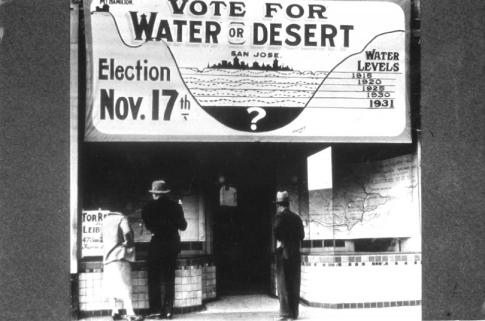
Groundwater, out of sight and out of mind to most people, is
taking on an increased role in California’s water future.
Often overlooked and misunderstood, groundwater’s profile is
being elevated as various scenarios combine to cloud the water
supply outlook. A dry 2006-2007 water year (downtown Los Angeles
received a record low amount of rain), crisis conditions in the
Sacramento-San Joaquin Delta and the mounting evidence of climate
change have invigorated efforts to further utilize aquifers as a
reliable source of water supply.
When you drink the water, remember the spring. – Chinese proverb
Water is everywhere. Viewed from outer space, the Earth radiates
a blue glow from the oceans that dominate its surface. Atop the
sea and land, huge clouds of water vapor swirl around the globe,
propelling the weather system that sustains life. Along the way,
water, which an ancient sage called “the noblest of elements,”
transforms from vapor to liquid and to solid form as it falls
from the atmosphere to the surface, trickles below ground and
ultimately returns skyward.
Traditionally treated as two separate resources, surface water
and groundwater are increasingly linked in California as water
leaders search for a way to close the gap between water demand
and water supply. Although some water districts have coordinated
use of surface water and groundwater for years, conjunctive use
has become the catchphrase when it comes to developing additional
water supply for the 21st century.


")


")

")
 are providing safe tap water to three disadvantaged communities in the Salinas Valley, including Santa Teresa Village near the city of Soledad. (Source: UCLA Samueli School of Engineering)")
")

")
")

")
")
")
")

")

")


")
")
 treats dry weather urban runoff to remove pollutants such as sediment, oil, grease, and pathogens for nonpotable use. (Image: City of Santa Monica)")
")
: Karla Nemeth, director, California Department of Water Resources; Gloria Gray, chair, Metropolitan Water District of Southern California; Brenda Burman, Bureau of Reclamation Commissioner; Jayne Harkins, commissioner, International Boundary and Water Commission, U.S. and Mexico; Amy Haas, executive director, Upper Colorado River Commission.")
")
")
")
")
")
")