Headwaters
Headwaters are the source of a stream or river. They are located at the furthest point from where the water body empties or merges with another. Two-thirds of California’s surface water supply originates in these mountainous and typically forested regions.
A river’s starting point does not necessarily determine the size and strength of its flow, though the physical, biological and chemical features of headwaters can have profound effects downstream. The organisms, sediments, minerals, contaminants and nutrients deposited by runoff or naturally occurring in the headwaters are dispersed throughout the river system. Consequently, scientists studying river water quality and aquatic life often focus on the health of headwater regions.
Meadows typically near the headwaters are nature’s sponge and filters, cleaning and storing water like small reservoirs. They help provide California with a year-round water supply and also capture carbon, which helps reduce global climate change.
Decades of fire suppression have weakened the resilience of California’s headwaters forests, along with weather extremes, a warming climate and an emphasis on short-term management priorities, according to a Public Policy Institute of California analysis published in 2020.
State and federal land managers are doing more prescribed burns and tree thinning to reduce the risk and severity of wildfires and the subsequent erosion that can pollute waterways and reduce reservoir capacity.
More than 40 percent of the inflow to Lake Shasta — the state’s largest reservoir — comes from springs in the northern Sierra Nevada and southern Cascade Range.
Headwaters in California
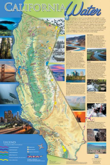
Most headwaters are either streams of melted snow and ice or springs from overflowing aquifers. The Sacramento River’s headwater is from a spring at Mt. Shasta City Park while the middle fork of the San Joaquin River’s headwater is Thousand Island Lake in the Eastern Sierra. The American River, which joins the Sacramento River in Sacramento, is fed by three forks originating in the alpine regions of the Tahoe and Eldorado national forests.
The headwaters of the Klamath River, California’s second-largest river in average annual flow, are on a volcanic plateau. A broad patchwork of spring-fed streams and rivers in south-central Oregon drains into Upper Klamath Lake and down into Lake Ewauna in Klamath Falls. The outflow from Ewauna marks the beginning of the 263-mile Klamath River.
The Santa Ana River’s headwaters are streams of snowmelt in the San Bernardino Mountains. The headwaters of the Los Angeles River form from the merging of Bell and Calabasas creeks, fed by surrounding hills and mountains in the western San Fernando Valley.


