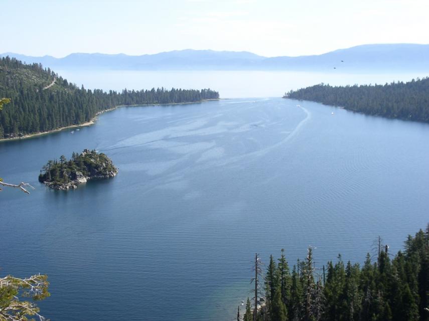
World renowned for its crystal clear, azure water, Lake Tahoe
straddles the Nevada-California border. However, the lake’s
clarity has declined in the last 40 years due to accumulated
effects of development.
At 1,645 feet, Lake Tahoe is the second deepest lake in the
United States and the 10th deepest in the world. Lake Tahoe sits
6,225 feet above sea level, and is 22 miles long and 12 miles
wide.
Approximately 40 percent of the Tahoe Basin’s rain and snow fall
directly into the lake, contributing to Lake Tahoe’s legendary
clarity. The remaining precipitation drains through granitic
soils, which are relatively sterile and create a good filtering
system.
The lake’s vitality is threatened by several factors
including invasive species (trout and bass), stormwater
runoff and increasing temperatures as a part of ongoing climate
change. Meanwhile, drought conditions have led the lake to be the
driest it has been in a century.
For decades, the UC Davis Tahoe Environmental Research Center
has been tracking the clarity of Lake Tahoe with a white disc
known as a Secchi disk, lowered into the depths of “Big Blue.”
For nearly 60 years, their findings have been released annually
in the Lake Tahoe Clarity Report. The most recent report, which
contains the data from 2025, was released on Tuesday. The 2025
report shows that the annual average clarity remains at a
plateau, neither significantly improving nor declining compared
to previous years. The annual average was 69.2 feet in 2025.
That is 7 feet clearer than last year’s average of 62.3 feet,
but not statistically different from recent years, mostly due
to a continuing trend of relatively low clarity during summer.
Lake Tahoe inspectors stopped a watercraft carrying invasive
golden mussels from entering the lake last week, their second
such stop since the mollusk was first discovered in California
waters in 2024. Officials earlier this week in Meyers spotted
four of the invasive species aboard a craft during an aquatic
invasive species inspection, officials with the Tahoe Regional
Planning Agency said Wednesday in a news release. That craft is
now under watch of California Department of Fish and
Wildlife. The vessel was arriving from the Sacramento
area, said agency officials. The first sightings of
golden mussels in North America were in the Sacramento-San
Joaquin Delta near the Port of Stockton in 2024.
… Public uproar has echoed across the Tahoe area since April,
when our yearlong Mother Jones investigation revealed that, in
California, the fastest-growing use of glyphosate—the main
ingredient in Roundup—is to spray forested areas, including
this massive new project around Lake Tahoe. … As our
investigation revealed, the deployment of glyphosate in
California’s forestlands has been growing for decades, driven
in part by the worsening fires, as companies and government
officials scramble to harvest burned wood and replant trees for
future timber sales. Glyphosate is among the effective
methods—and the Forest Service says the cheapest—to get pine
trees to grow back faster, as it kills any other plant that
might compete for sunlight, soil nutrients, and water.
On average, more than 60 percent of
California’s developed water supply originates in the Sierra
Nevada and the southern spur of the Cascade Range. Our water
supply is largely dependent on the health of our Sierra forests,
which are suffering from ecosystem degradation, drought,
wildfires and widespread tree mortality.
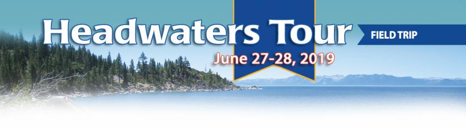
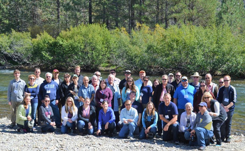
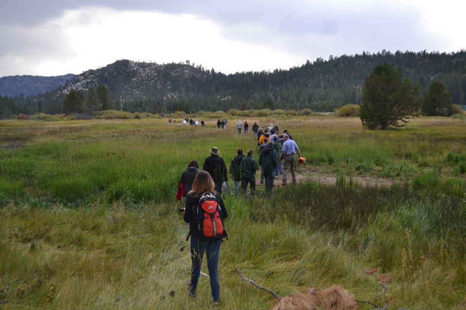
This tour ventured into the Sierra to examine water issues
that happen upstream but have dramatic impacts downstream and
throughout the state.
Sixty percent of California’s developed water supply
originates high in the Sierra Nevada mountains. Our water
supply is largely dependent on the health of our Sierra forests,
which are suffering from ecosystem degradation, drought,
wildfires and widespread tree mortality.
We headed into the foothills and the mountains to examine
water issues that happen upstream but have dramatic impacts
downstream and throughout the state.
GEI (Tour Starting Point)
2868 Prospect Park Dr.
Rancho Cordova, CA 95670.
Lake
Tahoe, the iconic high Sierra water body that straddles
California and Nevada, has sat for more than 10,000 years at the
heart of the Washoe tribe’s territory. In fact, the name Tahoe
came from the tribal word dá’aw, meaning lake.
The lake’s English name was the source of debate for about 100
years after it was first “discovered” in 1844 by people of
European descent when Gen. John C. Fremont’s expedition made its
way into the region. Not long after, a man who carried mail on
snowshoes from Placerville to Nevada City named it Lake Bigler in
honor of John Bigler, who served as California’s third governor.
But because Bigler was an ardent secessionist, the federal
Interior Department during the Civil War introduced the name
Tahoe in 1862. Meanwhile, California kept it as Lake Bigler and
didn’t officially recognize the name as Lake Tahoe until 1945.
Sixty percent of California’s developed water supply
originates high in the Sierra Nevada mountains. Our water
supply is largely dependent on the health of our Sierra forests,
which are suffering from ecosystem degradation, drought,
wildfires and widespread tree mortality.
This 25-minute documentary-style DVD, developed in partnership
with the California Department of Water Resources, provides an
excellent overview of climate change and how it is already
affecting California. The DVD also explains what scientists
anticipate in the future related to sea level rise and
precipitation/runoff changes and explores the efforts that are
underway to plan and adapt to climate.
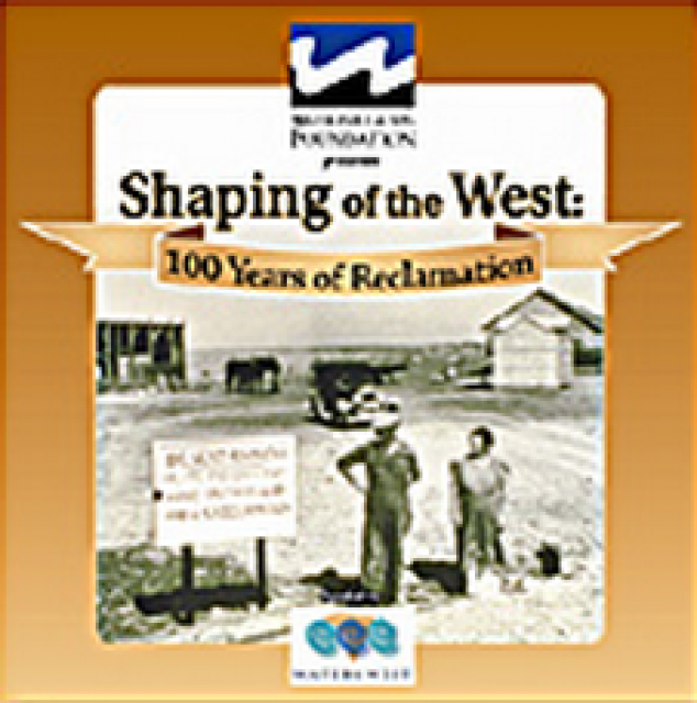
30-minute DVD that traces the history of the U.S. Bureau of
Reclamation and its role in the development of the West. Includes
extensive historic footage of farming and the construction of
dams and other water projects, and discusses historic and modern
day issues.
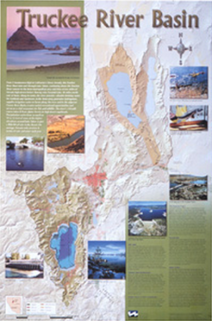
This beautiful 24×36-inch poster, suitable for framing, displays
the rivers, lakes and reservoirs, irrigated farmland, urban areas
and Indian reservations within the Truckee River Basin, including
the Newlands Project, Pyramid Lake and Lake Tahoe. Map text
explains the issues surrounding the use of the Truckee-Carson
rivers, Lake Tahoe water quality improvement efforts, fishery
restoration and the effort to reach compromise solutions to many
of these issues.
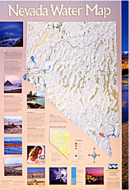
This 24×36 inch poster, suitable for framing, illustrates the
water resources available for Nevada cities, agriculture and the
environment. It features natural and manmade water resources
throughout the state, including the Truckee and Carson rivers,
Lake Tahoe, Pyramid Lake and the course of the Colorado River
that forms the state’s eastern boundary.
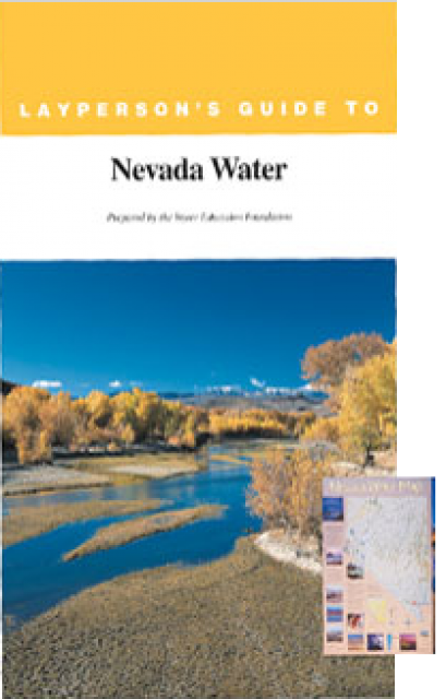
The 28-page Layperson’s Guide to Nevada Water provides an
overview of the history of water development and use in Nevada.
It includes sections on Nevada’s water rights laws, the history
of the Truckee and Carson rivers, water supplies for the Las
Vegas area, groundwater, water quality, environmental issues and
today’s water supply challenges.
A new look for our most popular product! And it’s the perfect
gift for the water wonk in your life.
Our 24×36-inch California Water Map is widely known for being the
definitive poster that shows the integral role water plays in the
state. On this updated version, it is easier to see California’s
natural waterways and man-made reservoirs and aqueducts
– including federally, state and locally funded
projects – the wild and scenic rivers system, and
natural lakes. The map features beautiful photos of
California’s natural environment, rivers, water projects,
wildlife, and urban and agricultural uses and the
text focuses on key issues: water supply, water use, water
projects, the Delta, wild and scenic rivers and the Colorado
River.
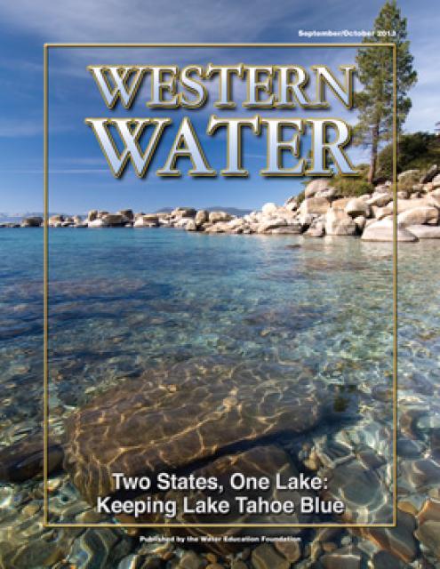
Lake Tahoe is one of the world’s most beautiful yet vulnerable
lakes. Renowned for its remarkable clarity, Tahoe straddles the
Nevada-California border, stretching 22 miles long and 12 miles
wide in a granitic bowl high in the Sierra Nevada.
Tahoe sits 6,225 feet above sea level. Its deepest point is 1,645
feet, making it the second-deepest lake in the nation, after
Oregon’s Crater Lake, and the tenth deepest in the world.
Lake Tahoe is one of the Sierra Nevada’s crown jewels, renowned
for its breathtaking clarity. The high-altitude, clear blue lake
and its surrounding basin, which lie on the California-Nevada
state line, is a spectacular natural resource that provides
environmental, economic, recreational and aesthetic benefits.


")