Since World War II and a booming state population that
increasingly sought out the great outdoors to relax, the state’s
water-based recreational activities have continued to grow more
popular and diverse, occurring in a multitude of sources –
from swimming pools and spas to beaches, reservoirs, natural
lakes and rivers.
Public water supply projects, such as the State Water Project,
have helped to provide additional recreational opportunities for
Californians. In some cases, reservoir releases can contribute to
downstream recreation benefits by improving fisheries or by
creating whitewater rafting opportunities that would not be
possible in the absence of reservoir regulation. However, there
are conflicting values and needs for the same river system.
It’s late May at Lee’s Ferry, the starting point for rafting
trips down the Colorado River in the Grand Canyon. … There’s
the smell of spray-on sunscreen, the buzz of excited crowds,
and — beyond that — the extrasensory vibrations of a tinge of
collective anxiety. Anxiety, because the water level in the
river is on the lower side of normal for this time of
year. Because a historically dry winter in terms of
snowpack in some parts of the West means less water in Lake
Powell, and less water released into the Colorado River
by Glen Canyon Dam. Because, aside from the millions
of people who rely on the river system for water and
hydropower, there’s an entire river rafting economy in the
Grand Canyon that does not know what to expect going forward.
Tucked along the edge of the Sacramento-San Joaquin Delta, Big
Break Regional Shoreline offers visitors a rare glimpse into
one of California’s most endangered ecosystems at no
cost. The 1,600-acre park, which opened in 2012, sits at
the confluence of two major rivers where saltwater and
freshwater meet. Most of the park consists of submerged former
farmland. … [T]he park’s wetland habitat is its most
significant feature, as roughly 90 percent of similar
ecosystems in California have been lost to agricultural
development. The remaining landscape at Big Break supports a
variety of aquatic mammals, including river otters, beavers,
muskrat, and American mink, along with dozens of bird species.
*IMPORTANT* In anticipation of high demand, the Foundation will be allocating tickets via a lottery method with a maximum of 3 entrants per organization. Tickets will be released in batches over time. Details coming soon.
This special, first-ever Foundation water tour will only be offered once! Join us on this special journey as we examine water issues along the Kern River, from its mountain-fed headwaters in the southern Sierra Nevada to its terminus in the Central Valley west of Bakersfield. Among the planned stops are both upper forks of the Kern River, Lake Isabella, lower Kern River canyon, the Friant-Kern Canal, irrigated agriculture in the valley, the Kern Water Bank and more.
Hyatt Place Bakersfield
310 Coffee Rd.
Bakersfield, CA 93309
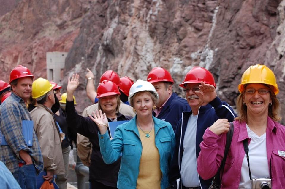
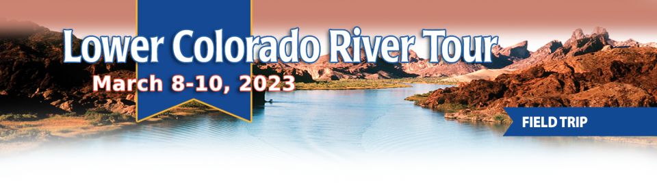
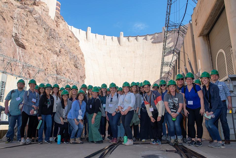
This tour explored the lower Colorado River firsthand where virtually every drop of the river is allocated, yet demand is growing from myriad sources — increasing population, declining habitat, drought and climate change.
The 1,450-mile river is a lifeline to some 40 million people in the Southwest across seven states, 30 tribal nations and Mexico. How the Lower Basin states – Arizona, California and Nevada – use and manage this water to meet agricultural, urban, environmental and industrial needs was the focus of this tour.
Hilton Garden Inn Las Vegas Strip South
7830 S Las Vegas Blvd
Las Vegas, NV 89123
On this first-ever Foundation water tourwe examined water issues along the 263-mile Klamath River, from its spring-fed headwaters in south-central Oregon to its redwood-lined estuary on the Pacific Ocean in California.
Running Y Resort
5500 Running Y Rd
Klamath Falls, OR 97601
This tour explored the lower Colorado River firsthand where virtually every drop of the river is allocated, yet demand is growing from myriad sources — increasing population, declining habitat, drought and climate change.
The 1,450-mile river is a lifeline to some 40 million people in the Southwest across seven states, 30 tribal nations and Mexico. How the Lower Basin states – Arizona, California and Nevada – use and manage this water to meet agricultural, urban, environmental and industrial needs was the focus of this tour.
Hilton Garden Inn Las Vegas Strip South
7830 S Las Vegas Blvd
Las Vegas, NV 89123
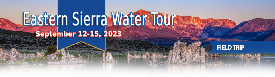
This special Foundation water tour journeyed along the Eastern Sierra from the Truckee River to Mono Lake, through the Owens Valley and into the Mojave Desert to explore a major source of water for Southern California, this year’s snowpack and challenges for towns, farms and the environment.
This tour explored the lower Colorado River firsthand where virtually every drop of the river is allocated, yet demand is growing from myriad sources — increasing population, declining habitat, drought and climate change.
The 1,450-mile river is a lifeline to some 40 million people in the Southwest across seven states, 30 tribal nations and Mexico. How the Lower Basin states – Arizona, California and Nevada – use and manage this water to meet agricultural, urban, environmental and industrial needs was the focus of this tour.
Hyatt Place Las Vegas At Silverton Village
8380 Dean Martin Drive
Las Vegas, NV 89139
Deep, throaty cadenced calls —
sounding like an off-key bassoon — echo over the grasslands,
farmers’ fields and wetlands starting in late September of each
year. They mark the annual return of sandhill cranes to the
Cosumnes River Preserve,
46,000 acres located 20 miles south of Sacramento on the edge of
the Sacramento-San Joaquin Delta.
We explored the lower Colorado River where virtually every drop
of the river is allocated, yet demand is growing from myriad
sources — increasing population, declining habitat, drought and
climate change.
The 1,450-mile river is a lifeline to 40 million people in
the Southwest across seven states and Mexico. How the Lower Basin
states – Arizona, California and Nevada – use and manage this
water to meet agricultural, urban, environmental and industrial
needs was the focus of this tour.
Hampton Inn Tropicana
4975 Dean Martin Drive, Las Vegas, NV 89118
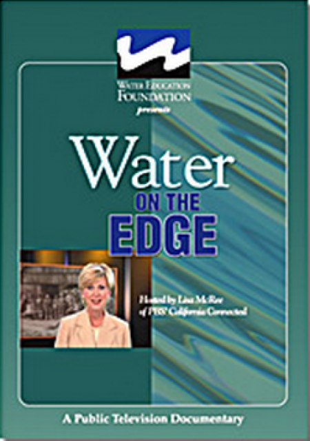
Water truly has shaped California into the great state it is
today. And if it is water that made California great, it’s the
fight over – and with – water that also makes it so critically
important. In efforts to remap California’s circulatory system,
there have been some critical events that had a profound impact
on California’s water history. These turning points not only
forced a re-evaluation of water, but continue to impact the lives
of every Californian. This 2005 PBS documentary offers a
historical and current look at the major water issues that shaped
the state we know today. Includes a 12-page viewer’s guide with
background information, historic timeline and a teacher’s lesson.
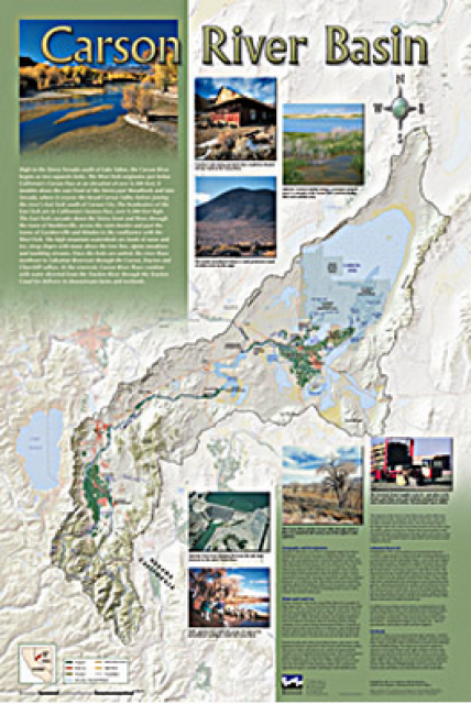
A companion to the Truckee River Basin Map poster, this
24×36-inch poster, suitable for framing, explores the Carson
River, and its link to the Truckee River. The map includes the
Lahontan Dam and reservoir, the Carson Sink, and the farming
areas in the basin. Map text discusses the region’s hydrology and
geography, the Newlands Project, land and water use within the
basin and wetlands. Development of the map was funded by a grant
from the U.S. Bureau of Reclamation Mid-Pacific Region, Lahontan
Basin Area Office.
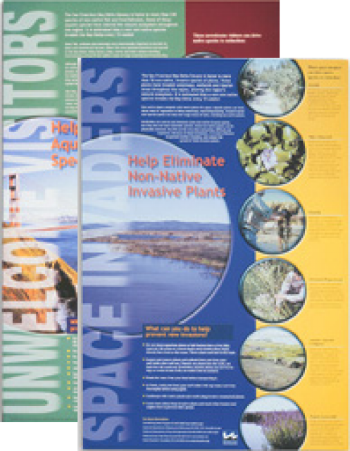
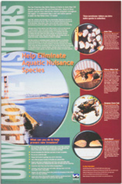
This 24×36 inch poster, suitable for framing, explains how
non-native invasive animals can alter the natural ecosystem,
leading to the demise of native animals. “Unwelcome Visitors”
features photos and information on four such species – including
the zerbra mussel – and explains the environmental and economic
threats posed by these species.
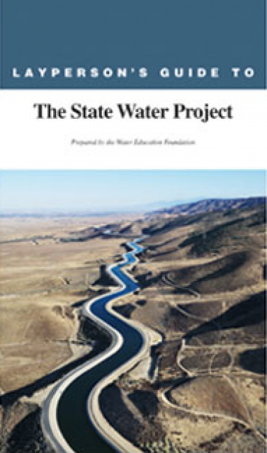
The 24-page Layperson’s Guide to the State Water Project provides
an overview of the California-funded and constructed State Water
Project.
The State Water Project is best known for the 444-mile-long
aqueduct that provides water from the Delta to San Joaquin Valley
agriculture and southern California cities. The guide contains
information about the project’s history and facilities.
A new look for our most popular product! And it’s the perfect
gift for the water wonk in your life.
Our 24×36-inch California Water Map is widely known for being the
definitive poster that shows the integral role water plays in the
state. On this updated version, it is easier to see California’s
natural waterways and man-made reservoirs and aqueducts
– including federally, state and locally funded
projects – the wild and scenic rivers system, and
natural lakes. The map features beautiful photos of
California’s natural environment, rivers, water projects,
wildlife, and urban and agricultural uses and the
text focuses on key issues: water supply, water use, water
projects, the Delta, wild and scenic rivers and the Colorado
River.


")