The San Joaquin River drains California’s Central Valley, but has
been negatively impacted by dam construction, poor streamflows,
and poor water quality.
Formerly home to the nation’s largest spring-run of Chinook
salmon, the river was dammed in 1942 to provide water to farms
and cities in the San Joaquin Valley.
In the 1980s, environmental organizations including the Natural
Resources Defense Council filed suit to restore water flows to a
60-mile dry stretch of river and to boost the dwindling salmon
populations. The lawsuit was settled in 2006.
The San Joaquin River Restoration Settlement’s goals
were to refill the 60-miles of dry river bed and salmon runs
while minimizing water supply impacts to farmers. Congressional
action set the plan in motion.
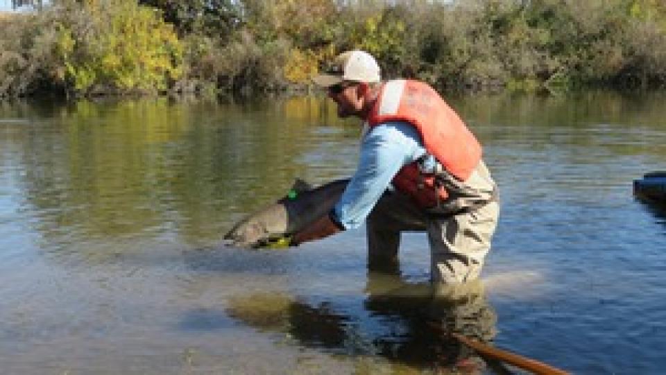
Water releases are now used to restore the river and to provide
habitat for naturally reproducing populations of self-sustaining
Chinook salmon and other fish. Long-term efforts also include
measures to reduce or avoid adverse water supply impacts from the
restoration flows.
… The Fresno City Council on Thursday authorized an
application for $5.1 million in state climate-bond money toward
a long-planned extension of the Lewis S. Eaton Trail into the
River West area along the San Joaquin River. The grant — a
fraction of the project’s roughly $23 million construction
estimate — now goes to the San Joaquin River Conservancy’s
board, which votes Wednesday on whether to award it.
… Beyond the Highway 41 underpass lies a 358-acre
stretch of public land along the San Joaquin River — a riverine
patchwork of grassland, ponds, riparian woodland, legacy
gravel-mining pits and fenced stormwater basins. … River West
would extend the existing Eaton Trail roughly 2.4 miles to
Spano Park — giving Fresno residents much-needed access to all
that beauty.
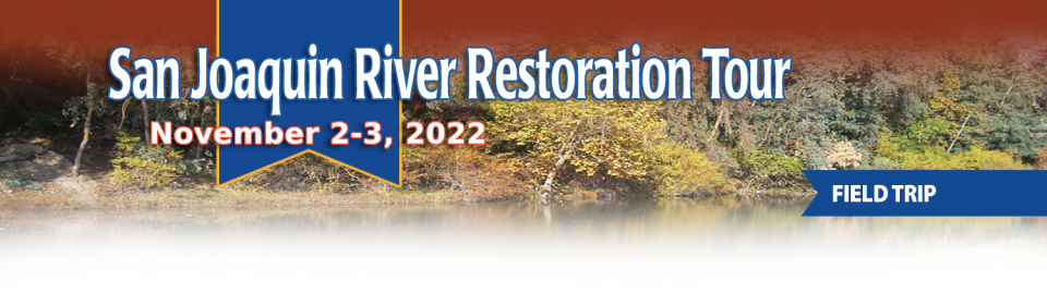
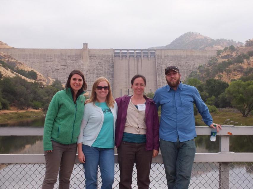
This tour traveled along the San Joaquin River to learn firsthand
about one of the nation’s largest and most expensive river
restoration projects.
The San Joaquin River was the focus of one of the most
contentious legal battles in California water history,
ending in a 2006 settlement between the federal government,
Friant Water Users Authority and a coalition of environmental
groups.
Hampton Inn & Suites Fresno
327 E Fir Ave
Fresno, CA 93720
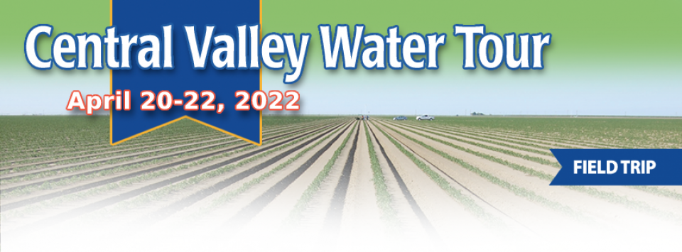
This tour ventured through California’s Central Valley, known as the nation’s breadbasket thanks to an imported supply of surface water and local groundwater. Covering about 20,000 square miles through the heart of the state, the valley provides 25 percent of the nation’s food, including 40 percent of all fruits, nuts and vegetables consumed throughout the country.
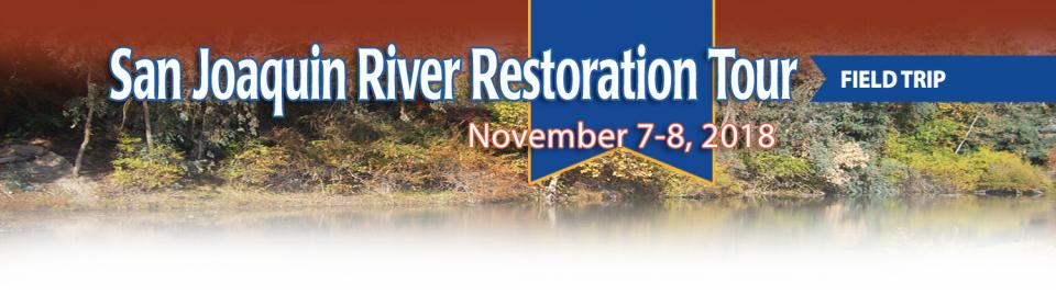
Participants of this tour snaked along the San Joaquin River to
learn firsthand about one of the nation’s largest and most
expensive river restoration projects.
The San Joaquin River was the focus of one of the most
contentious legal battles in California water history,
ending in a 2006 settlement between the federal government,
Friant Water Users Authority and a coalition of environmental
groups.
This 30-minute documentary-style DVD on the history and current
state of the San Joaquin River Restoration Program includes an
overview of the geography and history of the river, historical
and current water delivery and uses, the genesis and timeline of
the 1988 lawsuit, how the settlement was reached and what was
agreed to.
This 25-minute documentary-style DVD, developed in partnership
with the California Department of Water Resources, provides an
excellent overview of climate change and how it is already
affecting California. The DVD also explains what scientists
anticipate in the future related to sea level rise and
precipitation/runoff changes and explores the efforts that are
underway to plan and adapt to climate.
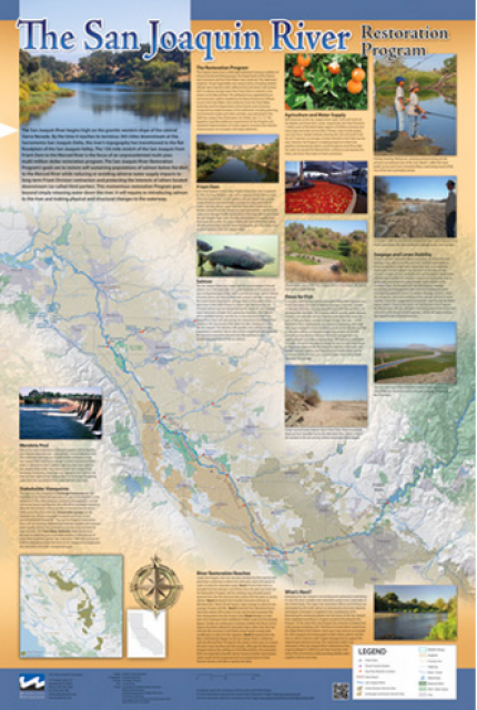
This beautiful 24×36 inch poster, suitable for framing, features
a map of the San Joaquin River. The map text focuses on the San
Joaquin River Restoration Program, which aims to restore flows
and populations of Chinook salmon to the river below Friant Dam
to its confluence with the Merced River. The text discusses the
history of the program, its goals and ongoing challenges with
implementation.
The 24-page Layperson’s Guide to the Central Valley Project
explores the history and development of the federal Central
Valley Project (CVP), California’s largest surface water delivery
system. In addition to the project’s history, the guide describes
the various facilities, operations and benefits the water
project brings to the state along with the CVP
Improvement Act (CVPIA).
A new look for our most popular product! And it’s the perfect
gift for the water wonk in your life.
Our 24×36-inch California Water Map is widely known for being the
definitive poster that shows the integral role water plays in the
state. On this updated version, it is easier to see California’s
natural waterways and man-made reservoirs and aqueducts
– including federally, state and locally funded
projects – the wild and scenic rivers system, and
natural lakes. The map features beautiful photos of
California’s natural environment, rivers, water projects,
wildlife, and urban and agricultural uses and the
text focuses on key issues: water supply, water use, water
projects, the Delta, wild and scenic rivers and the Colorado
River.
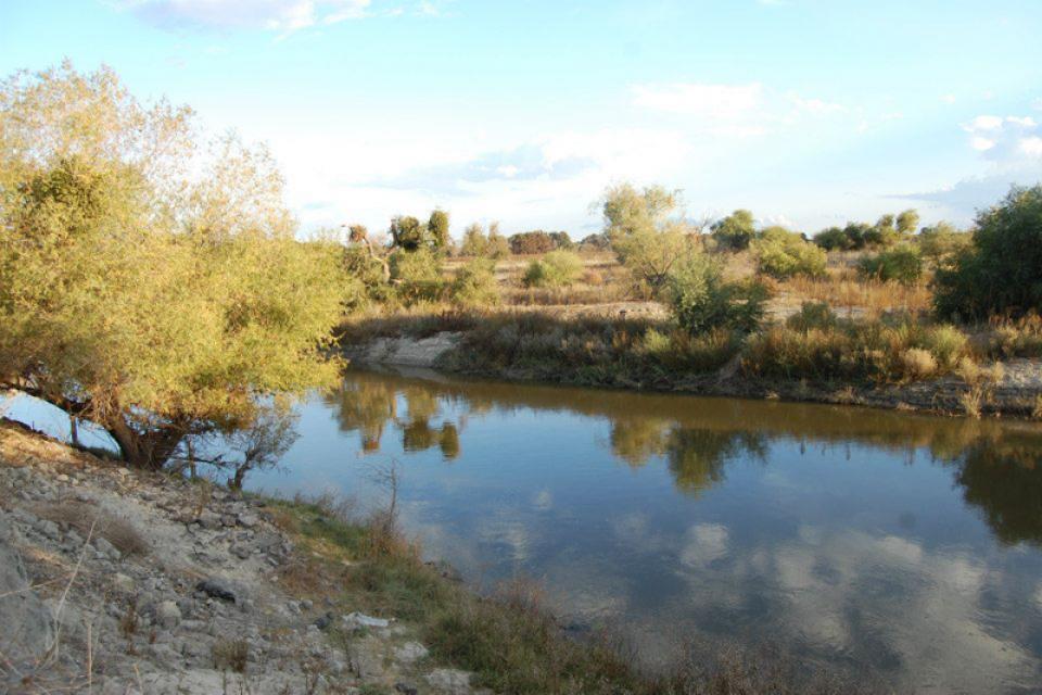
Flowing 366 miles from the Sierra
Nevada to Suisun Bay, the San Joaquin River provides irrigation
water to thousands of acres of San Joaquin Valley farms and
drinking water to some of the valley’s cities. It also is the
focal point for one of the nation’s most ambitious river
restoration projects to revive salmon populations.
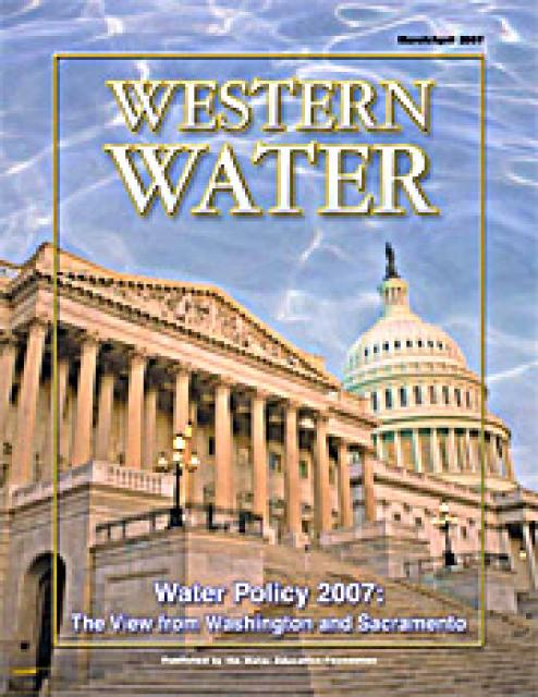
This issue of Western Water looks at the political
landscape in Washington, D.C., and Sacramento as it relates to
water issues in 2007. Several issues are under consideration,
including the means to deal with impending climate change, the
fate of the San Joaquin River, the prospects for new surface
storage in California and the Delta.
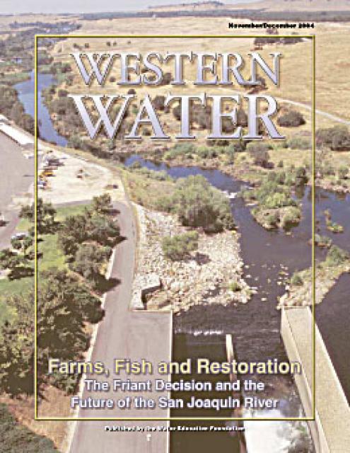
This issue of Western Water explores the implications for the San
Joaquin River following the decision in the Natural Resources
Defense Council lawsuit against the Bureau of Reclamation and
Friant Water Users Authority that Friant Dam is required to
comply with a state law that requires enough water be released to
sustain downstream fish populations.
The San Joaquin River provides the water that enables farms up
and down the San Joaquin Valley’s eastern side to produce a
substantial agricultural bounty. For more than 50 years, the
majority of the river has been halted at Friant Dam and diverted
north and south for use by farms and homes throughout parts of
five counties, in the process making that part of the valley the
most productive agricultural region in the world.