The San Francisco Bay (Bay) drains water from 40 percent of
California. This includes flows originating from the Sierra
Nevada mountain range and the Sacramento and San Joaquin rivers
that make their way down through Sacramento-San Joaquin Bay Delta
through the Bay to the Pacific Ocean.
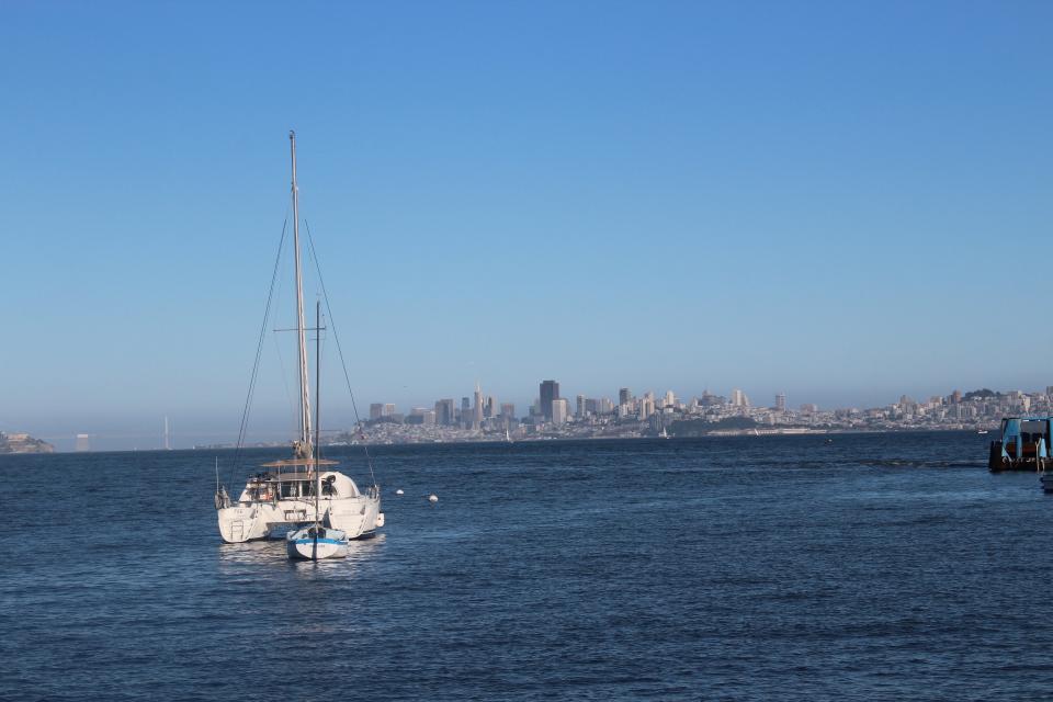
The Bay is the largest harbor on the U.S. Pacific Coast and
covers about 400 square miles with an average depth of 14 feet.
Its deepest point is 360 feet at the Golden Gate.
Every year, more than 67 million tons of cargo pass through the
Golden Gate. The Bay also supports commercial bait shrimp,
herring and Dungeness crab fisheries.
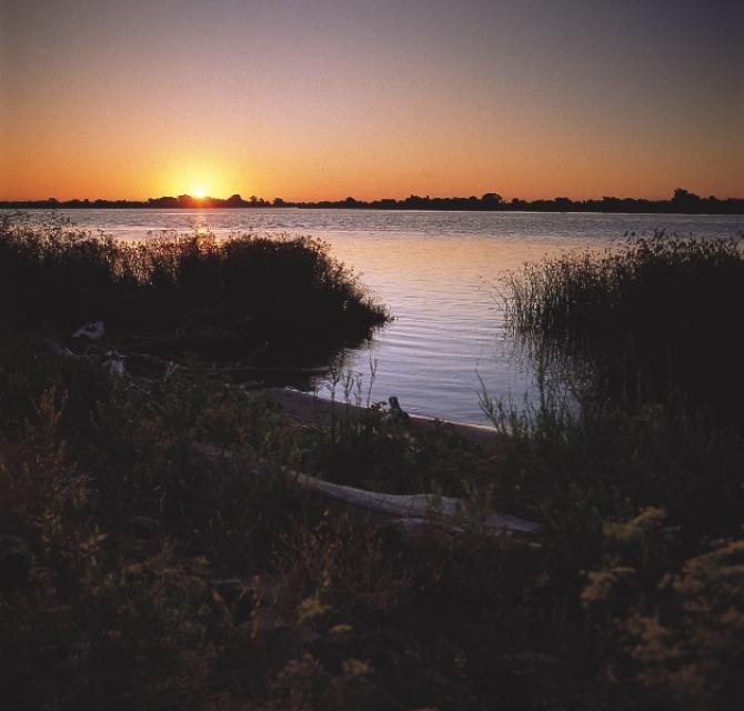
The Bay is a vital estuary and a key link in the Pacific Flyway,
and millions of waterfowl use the shallow portions of the bay as
a refuge each year.
The 24-page Layperson’s Guide to the Delta explores the competing
uses and demands on California’s Sacramento-San Joaquin
Delta. The 11th edition examines this critical
water hub and its myriad challenges. The 2025 version
includes the latest information on the tunnel project, habitat
restoration efforts, climate change impacts and an updated
section on the legal and political facets of the Delta.
The California Department of Fish and Wildlife recommended
Alternative 3 – Salmon Closure during the final days of the
Pacific Fisheries Management Council (PFMC) meeting mirroring
the opinions of commercial and recreational charter boat
anglers. The department’s position is a significant change from
early March. The PFMC meetings are being held in Seattle from
April 6 to 11, and the final recommendations of the council
will be forwarded to the California Fish and Game Commission in
May.
Blasted by sun and beaten by waves,
plastic bottles and bags shed fibers and tiny flecks of
microplastic debris that litter the San Francisco Bay where they
can choke the marine life that inadvertently consumes it.
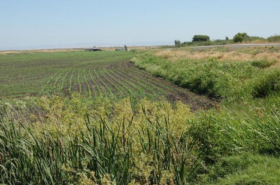
Estuaries are places where fresh and
salt water mix, usually at the point where a river enters the
ocean. They form highly productive natural habitats due to a
combination of tides, waves, salinity, fresh water flow and
sediment.
Understanding the importance of the Bay-Delta ecosystem and
working to restore it means grasping the scope of what it once
was.
That’s the takeaway message of a report released Nov. 14 by the
San Francisco Estuary Institute.
The report, “A
Delta Renewed,” is the latest in a series sponsored by the
California Department of Fish and Wildlife (DFW). Written by
several authors, the report says there is “cause for hope” to
achieving large-scale Delta restoration in a way that supports
people, farms and the environment. SFEI calls itself “one of
California’s premier aquatic and ecosystem science institutes.”
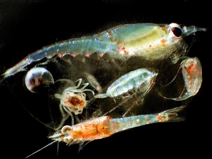
Zooplankton, which are floating
aquatic microorganisms too small and weak to swim against
currents, are are important food sources for many fish species in
the Delta such as salmon, sturgeon and Delta smelt.
This 3-day, 2-night tour, which we do every year,
takes participants to the heart of California water policy – the
Sacramento-San Joaquin Delta and San Francisco Bay.
The Pacific Flyway is one of four
major North American migration routes for birds, especially
waterbirds, and stretches from Alaska in the north
to Patagonia in South America.
Each year, birds follow ancestral patterns as they travel the
flyway on their annual north-south migration. Along the way, they
need stopover sites such as wetlands with suitable habitat and
food supplies. In California, 95 percent of historic
wetlands have been lost, yet the Central Valley hosts some of the
world’s largest populations of wintering birds.
This 25-minute documentary-style DVD, developed in partnership
with the California Department of Water Resources, provides an
excellent overview of climate change and how it is already
affecting California. The DVD also explains what scientists
anticipate in the future related to sea level rise and
precipitation/runoff changes and explores the efforts that are
underway to plan and adapt to climate.
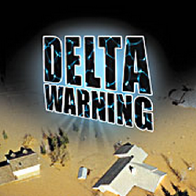
15-minute DVD that graphically portrays the potential disaster
should a major earthquake hit the Sacramento-San Joaquin Delta.
“Delta Warning” depicts what would happen in the event of an
earthquake registering 6.5 on the Richter scale: 30 levee breaks,
16 flooded islands and a 300 billion gallon intrusion of salt
water from the Bay – the “big gulp” – which would shut down the
State Water Project and Central Valley Project pumping plants.
Water truly has shaped California into the great state it is
today. And if it is water that made California great, it’s the
fight over – and with – water that also makes it so critically
important. In efforts to remap California’s circulatory system,
there have been some critical events that had a profound impact
on California’s water history. These turning points not only
forced a re-evaluation of water, but continue to impact the lives
of every Californian. This 2005 PBS documentary offers a
historical and current look at the major water issues that shaped
the state we know today. Includes a 12-page viewer’s guide with
background information, historic timeline and a teacher’s lesson.
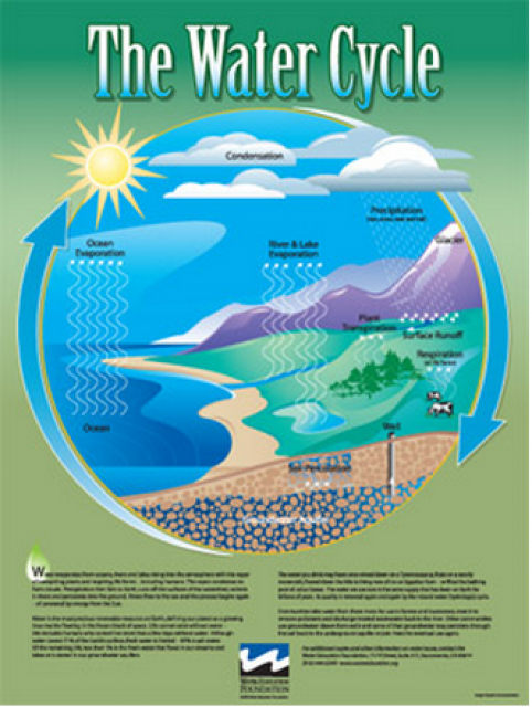
Water as a renewable resource is depicted in this 18×24 inch
poster. Water is renewed again and again by the natural
hydrologic cycle where water evaporates, transpires from plants,
rises to form clouds, and returns to the earth as precipitation.
Excellent for elementary school classroom use.
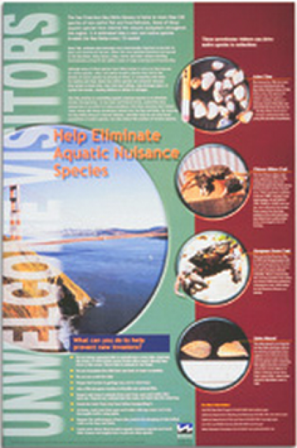
This 24×36 inch poster, suitable for framing, explains how
non-native invasive animals can alter the natural ecosystem,
leading to the demise of native animals. “Unwelcome Visitors”
features photos and information on four such species – including
the zerbra mussel – and explains the environmental and economic
threats posed by these species.
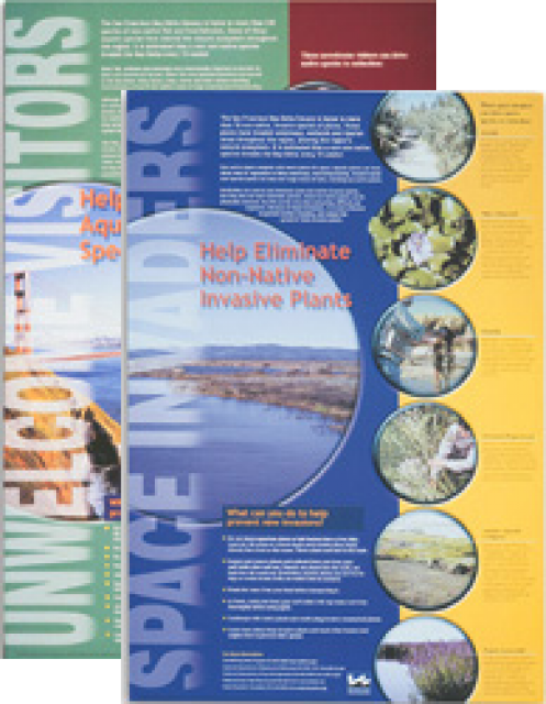
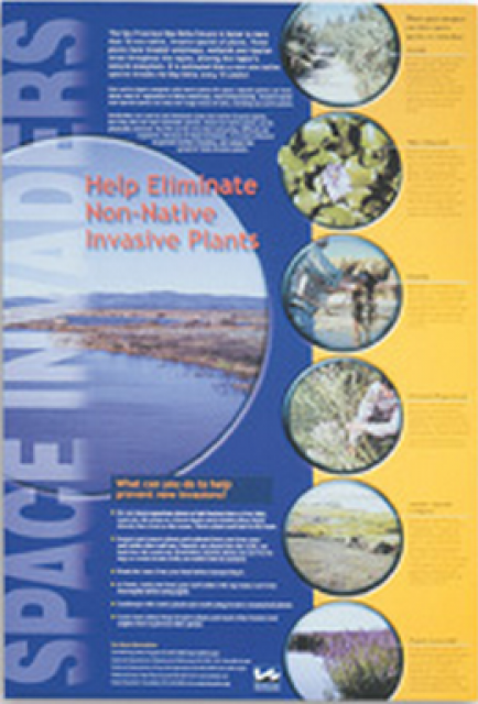
This 24×36 inch poster, suitable for framing, explains how
non-native invasive plants can alter the natural ecosystem,
leading to the demise of native plants and animals. “Space
Invaders” features photos and information on six non-native
plants that have caused widespread problems in the Bay-Delta
Estuary and elsewhere.
A new look for our most popular product! And it’s the perfect
gift for the water wonk in your life.
Our 24×36-inch California Water Map is widely known for being the
definitive poster that shows the integral role water plays in the
state. On this updated version, it is easier to see California’s
natural waterways and man-made reservoirs and aqueducts
– including federally, state and locally funded
projects – the wild and scenic rivers system, and
natural lakes. The map features beautiful photos of
California’s natural environment, rivers, water projects,
wildlife, and urban and agricultural uses and the
text focuses on key issues: water supply, water use, water
projects, the Delta, wild and scenic rivers and the Colorado
River.
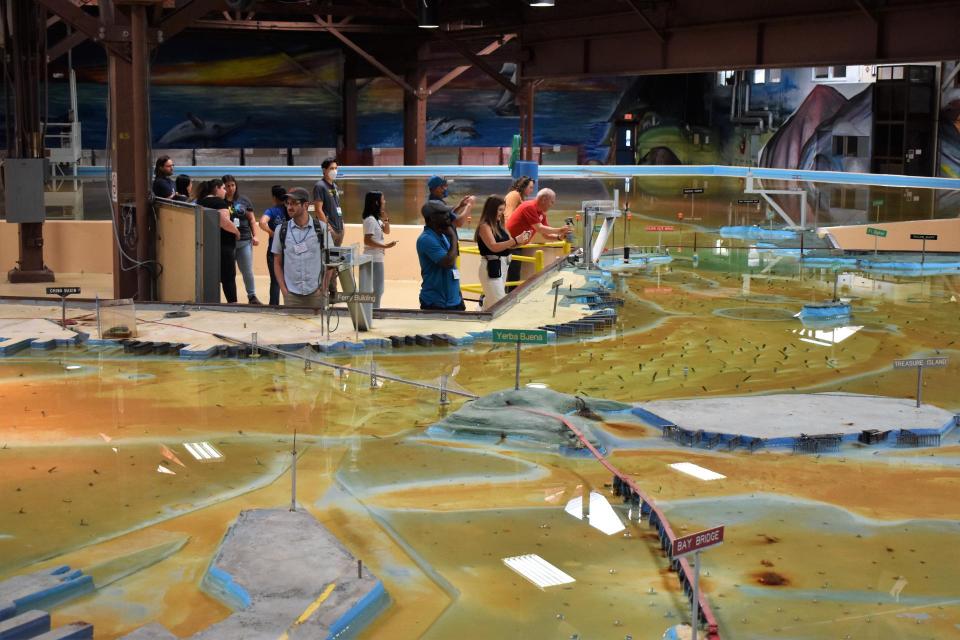
Operated by the U.S. Army Corps of Engineers, the
Bay Model is a giant hydraulic replica of San Francisco
Bay and the Sacramento-San Joaquin
Delta. It is housed in a converted World II-era
warehouse in Sausalito near San Francisco.
Hundreds of gallons of water are pumped through the
three-dimensional, 1.5-acre model to simulate a tidal ebb
and flow lasting 14 minutes.
Invasive species, also known as
exotics, are plants, animals, insects and aquatic species
introduced into non-native habitats.
Often, invasive species travel to non-native areas by ship,
either in ballast water released into harbors or attached to the
sides of boats. From there, introduced species can then spread
and significantly alter ecosystems and the natural food chain as
they go. Another example of non-native species introduction is
the dumping of aquarium fish into waterways.
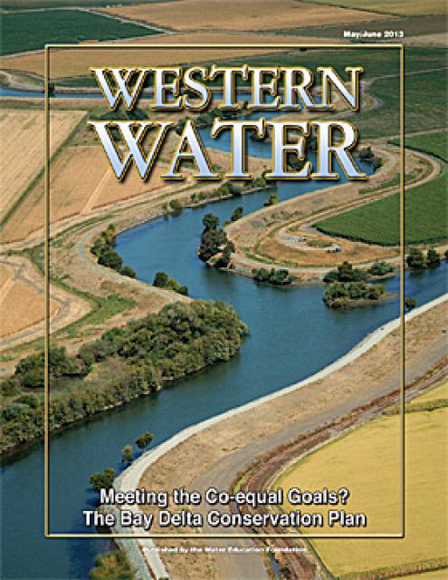
This issue of Western Water looks at the BDCP and the
Coalition to Support Delta Projects, issues that are aimed at
improving the health and safety of the Delta while solidifying
California’s long-term water supply reliability.
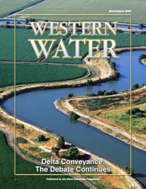
This printed issue of Western Water provides an overview of the
idea of a dual conveyance facility, including questions
surrounding its cost, operation and governance
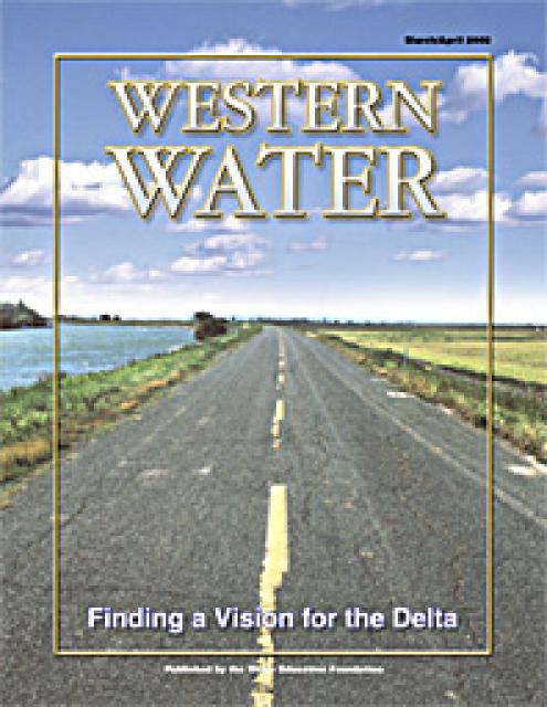
This printed copy of Western Water examines the Delta through the
many ongoing activities focusing on it, most notably the Delta
Vision process. Many hours of testimony, research, legal
proceedings, public hearings and discussion have occurred and
will continue as the state seeks the ultimate solution to the
problems tied to the Delta.


")