Nevada Water Map
Published 2004
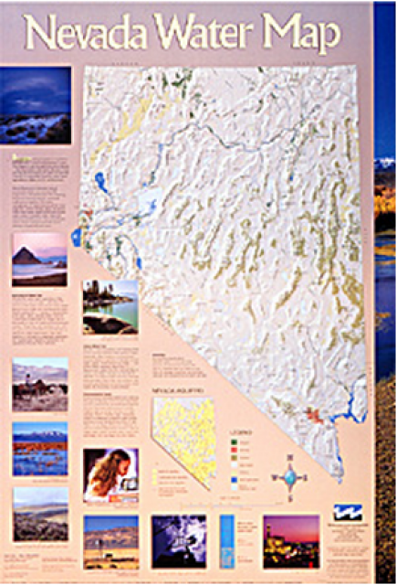
This 24×36 inch poster, suitable for framing, illustrates the water resources available for Nevada cities, agriculture and the environment. It features natural and manmade water resources throughout the state, including the Truckee and Carson rivers, Lake Tahoe, Pyramid Lake and the course of the Colorado River that forms the state’s eastern boundary.
An inset map illustrates the location of Nevada’s underground aquifers. Development of the map was funded by a grant from the U.S. Bureau of Reclamation Mid-Pacific Region, Lahontan Basin Area Office.
To order 10 or more copies at a discounted fee, contact the Foundation at 916-444-6240 for more information.


