California Aqueduct
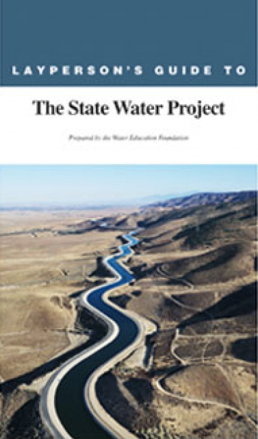
The California Aqueduct, a critical part of the State Water Project, carries water from the Sacramento-San Joaquin Delta to the San Joaquin Valley and Southern California.
Established as part of a $1.75 billion bond passed by voters in 1960, the 444-mile-long California Aqueduct (formally known as the Edmund G. Brown California Aqueduct) begins at the Harvey O. Banks Pumping Plant in the Delta. It parallels Interstate 5 south to the Tehachapi Mountains.
To cross the Tehachapis into Southern California, a huge amount of water is raised some 2,000 feet at the powerful A. D. Edmonston Pumping Plant, making it the world’s highest single water lift.
Overview
The State Water Project’s most visible facility, the California Aqueduct is an artificial river shaped like an inverted trapezoid. Varying in bottom width from 12 feet to 85 feet and an average of 30 feet deep, the concrete channel Aqueduct uses check structures with an innovative “controlled volume flow” system to move water through an open canal like a pipeline. The aqueduct was constructed using specially designed equipment to build its massive sloping walls.
About 30 percent of SWP water is delivered to San Joaquin Valley farms and cities via the California Aqueduct. The largest single customer in this area is the Kern County Water Agency, whose contract allows it to receive as much as 1 million acre-feet of water per year. Just south of Kettleman City, the Coastal Branch diverges from the main Aqueduct to deliver water to Kern, Santa Barbara and San Luis Obispo counties.
When the California Aqueduct reaches the Edmonston Pumping Plant at the northern edge of the Tehachapis, there is still as much as 2.5 million acre-feet of water to be delivered to 13 Southern California water contractors. Fourteen pumps lift the water over the mountains, where it splits into two aqueducts that serve Southern California.
Water from the West Branch Aqueduct is stored in Pyramid Lake and Castaic Lake for distribution to Los Angeles and surrounding cities. The East Branch Aqueduct passes through Palmdale and Lancaster, and stores water in Silverwood Lake and Lake Perris for distribution to Inland Empire cities such as San Bernardino and Riverside.
Land subsidence, or sinking, caused by groundwater pumping has reduced the flow capacity of the aqueduct by as much as 46 percent in some areas, according to the California Department of Water Resources, which operates the aqueduct. Some sections of the aqueduct in the San Joaquin Valley sunk nearly three feet from 2013 through 2016, a three-year period of drought when wells were heavily pumped, according to the department.
Intertie with Delta Mendota Canal
Completed in 2012, the $34 million Delta-Mendota Canal/California Aqueduct Intertie project connects the Delta-Mendota Canal to the California Aqueduct to increase the operational flexibility of the SWP and the Central Valley Project. Overseen by the Bureau of Reclamation, the new pipeline and pumping plant also aid in delivering water and responding to CVP and SWP water emergencies.


