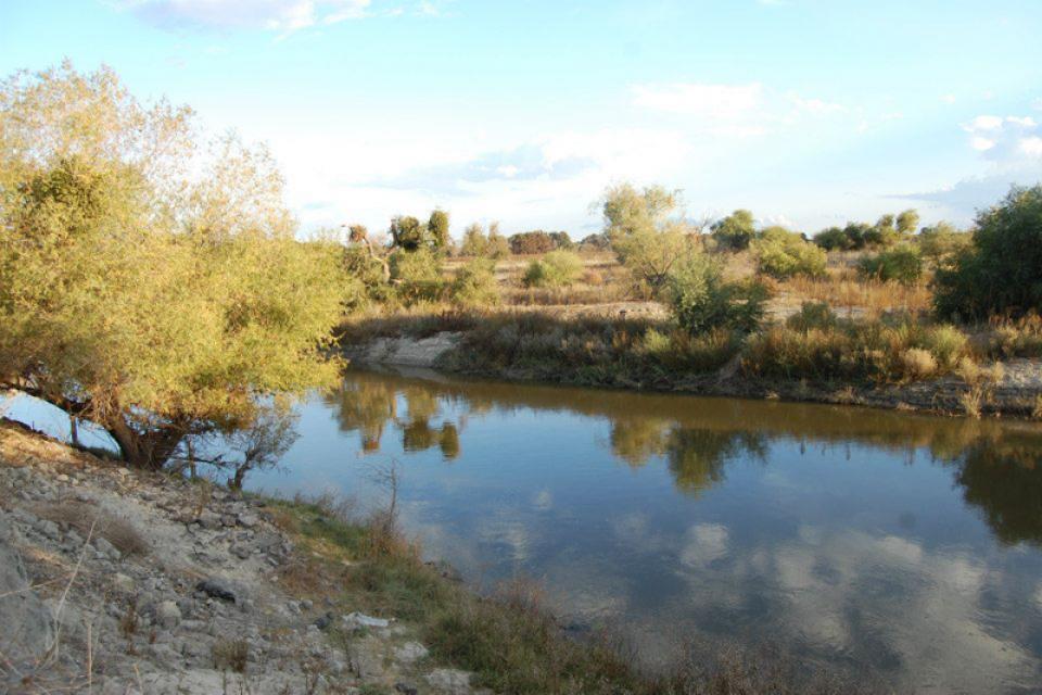
Flowing 366 miles from the Sierra
Nevada to Suisun Bay, the San Joaquin River provides irrigation
water to thousands of acres of San Joaquin Valley farms and
drinking water to some of the valley’s cities. It also is the
focal point for one of the nation’s most ambitious river
restoration projects to revive salmon populations.
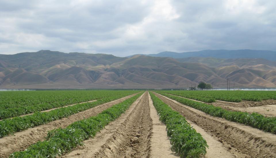
Located in the middle of California, the San Joaquin Valley is
bracketed on both sides by mountain ranges. Long and flat, the
valley’s hot, dry summers are followed by cool, foggy winters
that make it one of the most productive agricultural regions in
the world.
The valley stretches from across mid-California between coastal
ranges in west and the Sierras on the east. The region includes
large cities such as Fresno and Bakersfield, national parks such
as Yosemite and Kings, millions of people, and fertile farmland.
The San Luis Reservoir is the nation’s largest off-stream
reservoir, serving as a key water facility for both the
State Water
Project (SWP) and the federal Central Valley Project
(CVP).
Southern California’s Santa Ana River is the largest watershed
drainage south of the Sierra and is located largely in a highly
urbanized, highly regulated setting.
At about 100 miles long and with more than 50 tributaries, the
Santa Ana spans parts of San Bernardino, Riverside and Orange
counties as it drains 2,840 square miles of land.
Anne J. Schneider (1947-2010) is
acknowledged as one of the first women to become well-known and
well-respected in the field of California and Western water law.
“Anne was an amazing person — an accomplished college athlete,
mountain climber, skier, marathon runner, velodrome and
long-distance cyclist; a devoted mother; a dedicated
conservationist,” said Justice Ronald B. Robie in the Inaugural
Anne J. Schneider Memorial Lecture in May 2012.
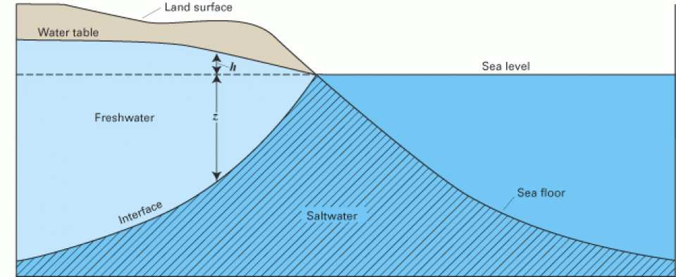
Seawater intrusion can harm groundwater quality in a variety of
places, both coastal and inland, throughout California.
Along the coast, seawater intrusion into aquifers is connected to overdrafting of
groundwater. Additionally, in the interior, groundwater
pumping can draw up salty water from ancient seawater isolated in
subsurface sediments.
In rural areas with widely dispersed houses, reliance upon a
centralized
sewer system is not practical compared to individual
wastewater treatment methods. These on-site management facilities
– or septic systems – are more commonplace given their simpler
structure, efficiency and easy maintenance.
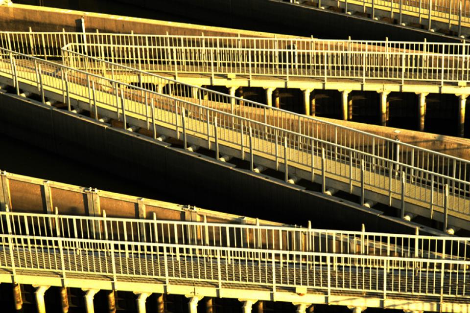
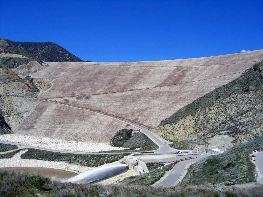
Completed in 1999, the Seven Oaks
Dam is a 550-feet-high earthen dam
on the Santa Ana River.
Its construction at the base of the San Bernardino Mountains was
a major component of the Santa
Ana River Mainstem Project, costing
$464 million and meant to protect the more than 2 million
citizens of Orange, Riverside and San Bernardino counties from
flooding. To
accomplish this, the dam releases only 7,000 cubic feet per
second (cfs) of the 85,000 cfs flowing into it, giving it
350-year
flood protection. The rest of this flood control project
consisted of raising the already existing Prado Dam downstream
and building additional channels.
Shasta Dam forms California’s
largest storage reservoir, Shasta Lake, which can hold about 4.5
million acre-feet.
As the keystone of the federal Central Valley Project,
Shasta stands among the world’s largest dams. Construction on the dam began in 1938
and was completed in 1945, with flood control as the highest
priority.
Stretching 450 miles long and up to
50 miles wide, the Sierra Nevada makes up more than a quarter of
California’s land area and forms its largest watersheds,
providing more than half of the state’s developed water supply to
residents, agriculture and other businesses.*
A part of the State
Water Project, Silverwood Lake is in the San Bernardino
Mountains in Southern California. The reservoir stores water for
Inland Empire cities such as San Bernardino and Riverside. The
water is conveyed from the A.D. Edmonston Pumping
Plant via the East
Branch Aqueduct.
Sinkholes are caused by erosion of
rocks beneath soil’s surface. Groundwater dissolves soft
rocks such as gypsum, salt and limestone, leaving gaps in the
originally solid structure. This is exacerbated when water is
acidic from contact with carbon dioxide or acid rain. Even
humidity can play a major role in destabilizing water
underground.
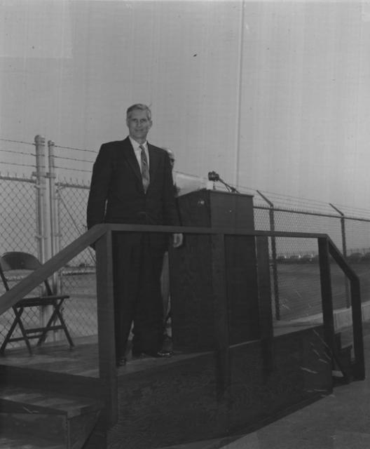
Bernice Frederic “B.F.” “Bernie” Sisk (1910-1995) represented the
San Joaquin Valley in the U.S. Congress for nearly a quarter of a
century from 1955-1978.
The proposed Sites Reservoir would
be an off-river storage basin on the west side of the Sacramento
Valley, about 78 miles northwest of Sacramento. It would capture
stormwater flows from the Sacramento River for release in dry
years for fish and wildlife, farms, communities and
businesses.
The water would be held in a 14,000-acre basin of grasslands
surrounded by the rolling eastern foothills of the Coast Range.
Known as Antelope Valley, the sparsely populated area in Glenn
and Colusa counties is used for livestock grazing.
Robert A. Skinner (1895-1986) was the Metropolitan Water District
of Southern California general manager from 1962-1967. An
engineer, he was instrumental in negotiating the district’s
contract with the California Department of Water Resources for
delivery of water from Northern California. Both Lake Skinner and
a treatment plant in southwestern Riverside County were named in
his honor.
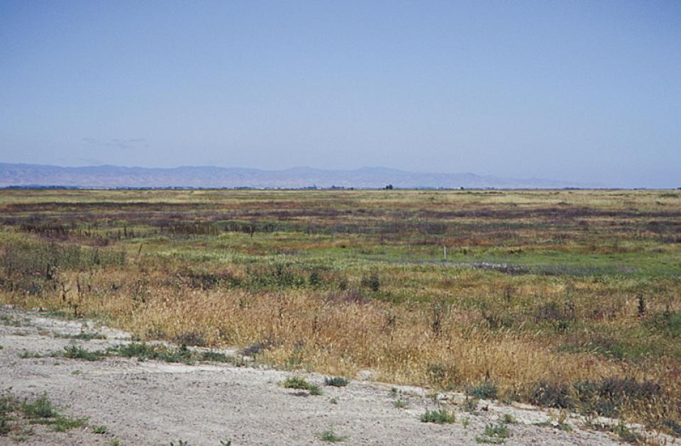
Sloughs (pronounced “slews”) are shallow lakes or swamps. Generally
they serve as backwaters –
or a stagnant part of a river – and are consequently located at
edges of rivers where a stream or other canal once flowed.


")